
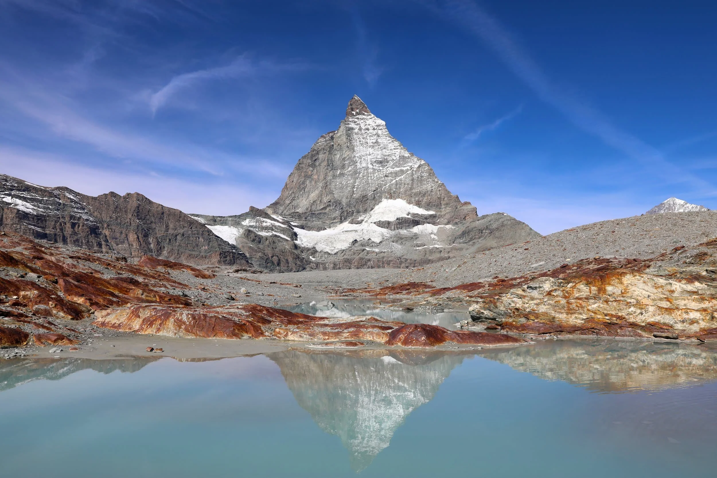
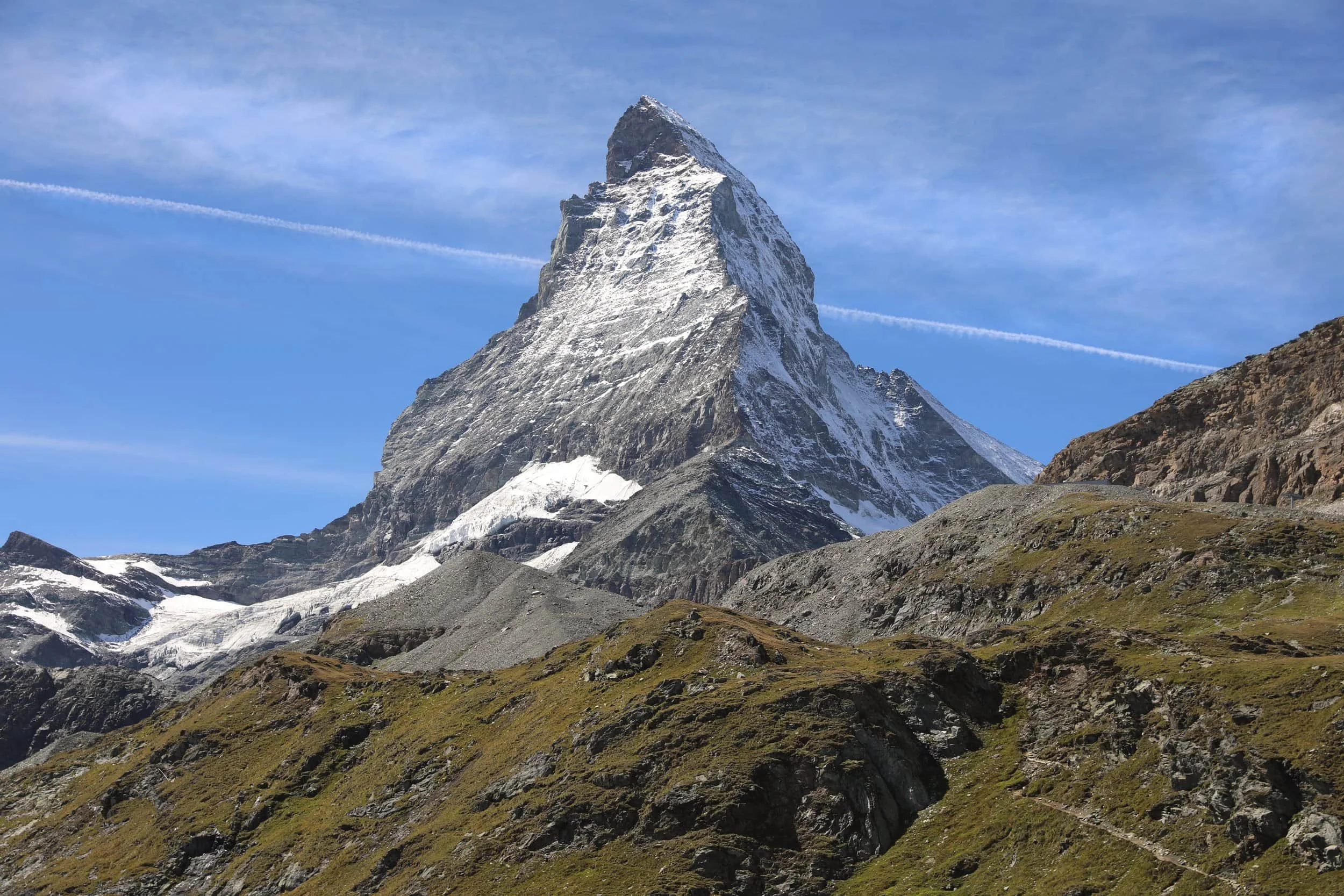
The Matterhorn Glacier Trail offers unforgettable views of one of the most recognisable mountains in the world.
Set high in the Swiss Alps above Zermatt, Switzerland, the Matterhorn’s distinctive peak is the inspiration for the mountain on the Toblerone wrapper, but seeing it rise above glacial lakes and rugged alpine slopes in person is something else entirely.
In this guide, I’ll explain how to reach the trail, what the hike is like and how much time to allow. I’ll also share practical tips on the route, what to bring and how to plan your day in the mountains.
In a Rush? Where to Stay in Zermatt
Welschen Hotel – Upscale hotel with Matterhorn views, pool and spa. Check rates and availability
Hotel Butterfly – Central hotel with breakfast, restaurant and wellness area. Check rates and availability
Hotel Bahnhof – Budget hostel near station with kitchen and laundry. Check rates and availability
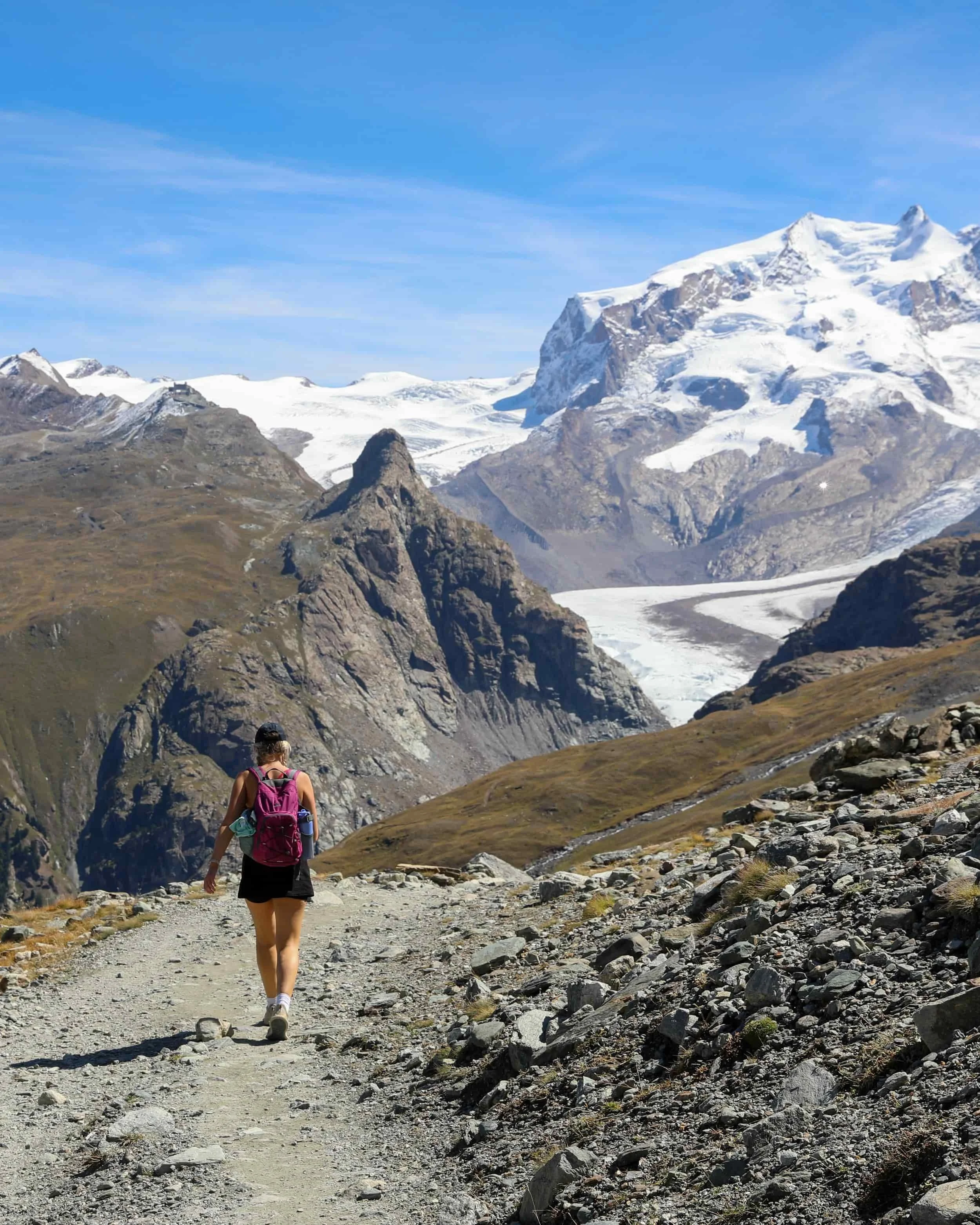
Matterhorn Glacier Trail Overview
Trailhead: Follow signs from Trockener Steg cable car station towards “Matterhorn Glacier Trail” | Google Maps
Total Hiking Distance: 6.3 km
Total Hiking Duration: 2.5 hour hike | one way
Difficulty: Moderate
Altitude: 2,900 meters above sea level
Price: The hiking trail is free
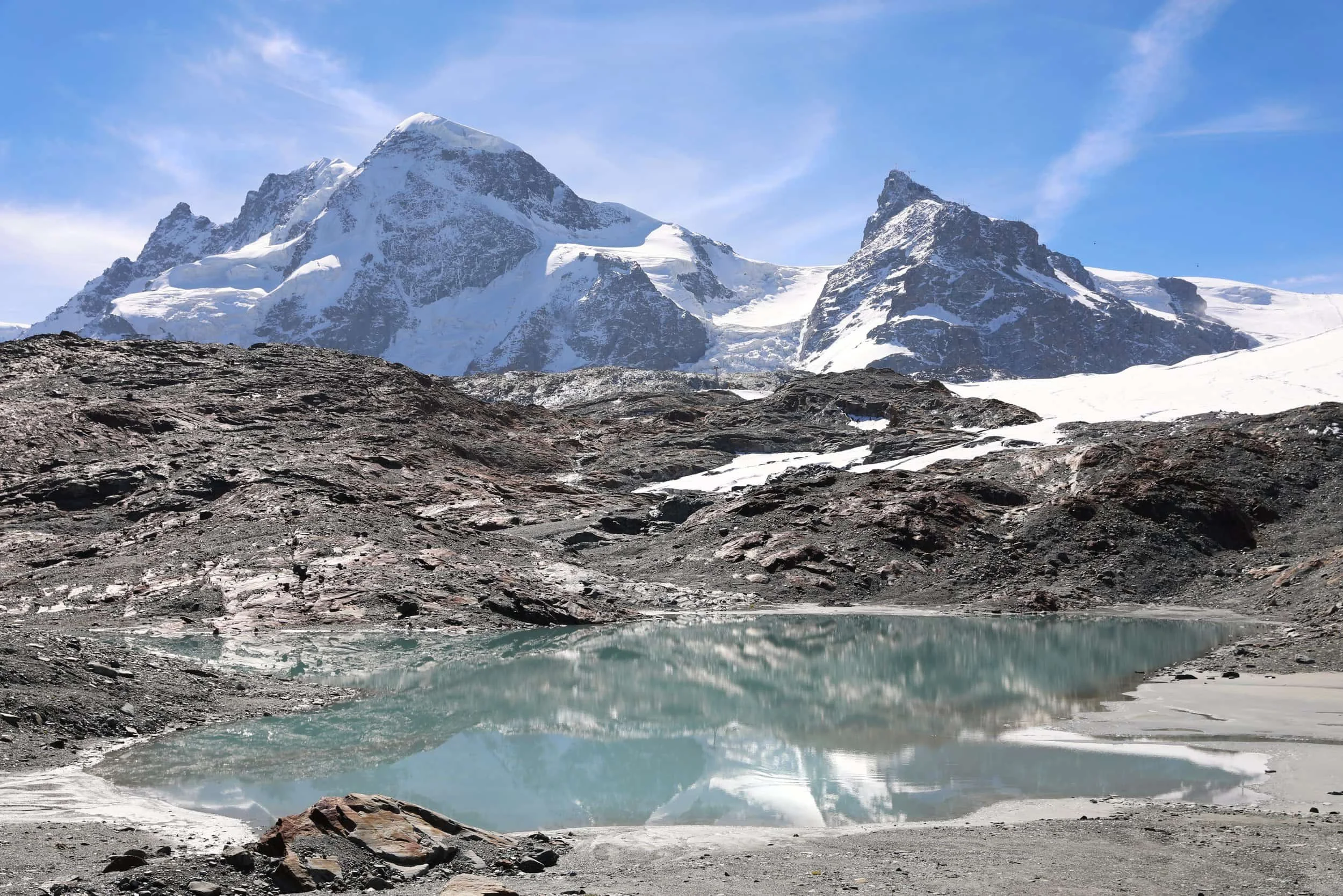
Highlights: Views of the Matterhorn, Theodul Glacier, and Breithorn peaks, along with vistas of the surrounding glacial landscapes and alpine meadows.
Where is the Matterhorn Glacier Trail Hike?
The Matterhorn Glacier Trail is in the Swiss Alps above Zermatt, a mountain town in the Valais region of southern Switzerland, close to the Italian border. Zermatt is car-free, so visitors travelling by road leave their cars in Täsch and continue by train.
Zermatt is a great base for exploring the mountains beyond this hike. You can ride the Gornergrat Railway for panoramic views of the Matterhorn and surrounding peaks, take a cable car to Matterhorn Glacier Paradise, or walk the Five Lakes Trail, where the Matterhorn is reflected in several of the lakes.
Matterhorn Glacier Trail Trailhead
The trail starts at Trockener Steg, reached by cable car from Zermatt via Furi. From the station, follow signs for Hirli and Schwarzsee. At the end of the hike, take the cable car from Schwarzsee back to Zermatt.
Matterhorn Glacier Trail Trailhead: Trockener Steg cable car station | Google Maps
How to Get to Zermatt
The first step in hiking the Matterhorn Glacier Trail is getting to Zermatt, a car-free mountain village in Switzerland’s Valais region. You can reach it by train or drive as far as Täsch, then take the shuttle train for the final leg.
I’d skip the hire car and take the train all the way to Zermatt. It’s the simpler option, and you won’t need to worry about parking in Täsch or transferring your luggage to the shuttle.
Train to Zermatt from Zurich
Taking the train is the easiest and most practical way to reach Zermatt.
From Zurich Airport, trains travel via Visp, where you change to the Matterhorn Gotthard Railway for the final journey into Zermatt. The full trip takes around 3.5 hours. Check the SBB journey planner for connections and fares on your travel date. Prices depend on your ticket type and any travel passes or discounts you have.
The journey details are:
From Zurich Airport: Around 3.5 hours by train
Change: Visp
Destination: Zermatt railway station, in the village centre
Ticket cost: Varies by date, ticket type and travel pass but be prepared it is quite expensive
How to Get to the Matterhorn Glacier Trailhead
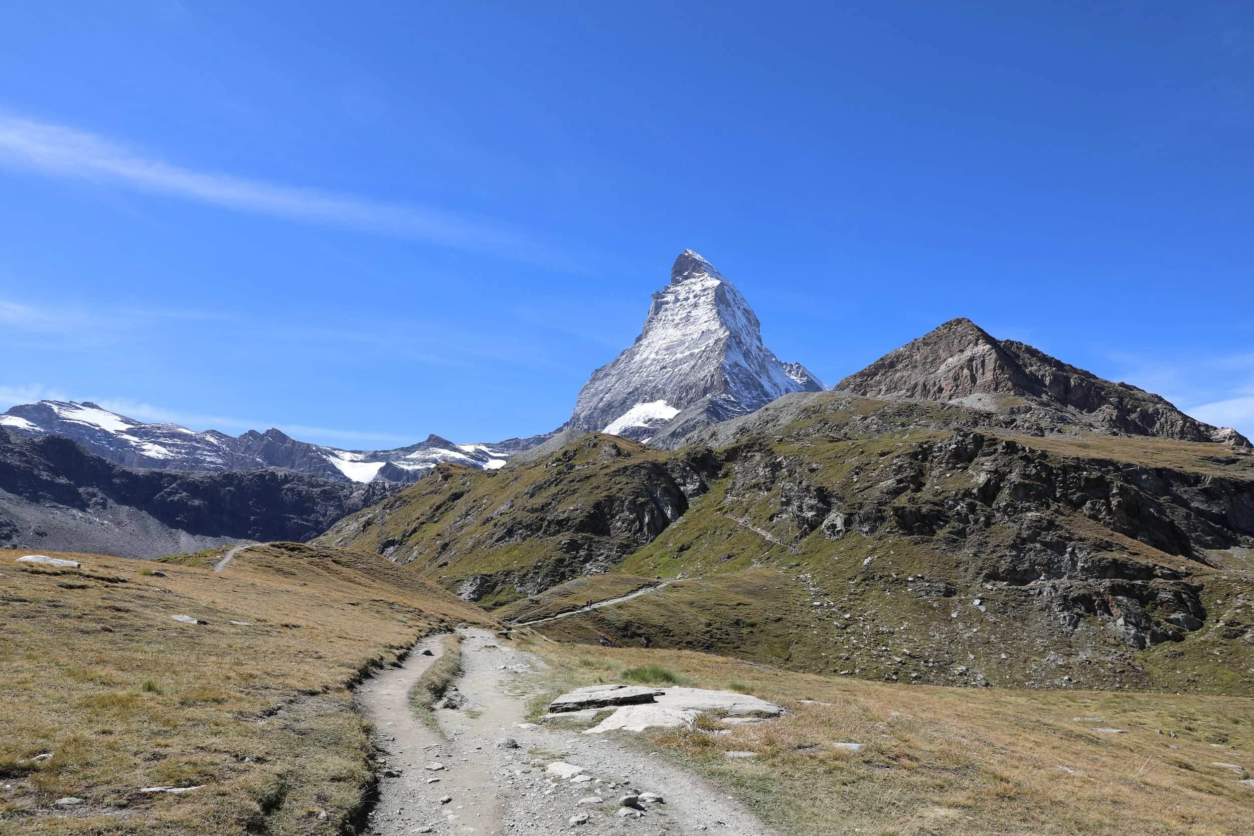
Once you’re in Zermatt, take the mountain railway from the village to Trockener Steg, where the Matterhorn Glacier Trail begins. At the end of the hike, you’ll reach Schwarzsee and take the cable car back down to Zermatt. A dedicated Matterhorn Glacier Trail combination ticket covers both rides.
Cable Car to the Matterhorn Glacier Trail
From Zermatt, follow signs to the Matterhorn Express valley station and take the cable car towards Trockener Steg. Depending on the timetable, you may need to change lifts at Furi. The journey takes around 30 minutes, including any transfer.
The cable car ride itself was an experience with some incredible views, it’s worth going up even if you don’t intend to do the hike.
The journey details are:
Starting point: Zermatt
Trailhead: Trockener Steg, at 2,939 metres
Ride time: Around 30 minutes, including transfers
At the end of the hike: Take the cable car from Schwarzsee back to Zermatt or you can walk down
Ticket: The Matterhorn Glacier Trail combination ticket includes one ride from Zermatt to Trockener Steg and one from Schwarzsee to Zermatt
Booking: Check the official trail ticket and timetable before your visit. The combination ticket is seasonal, and fares vary; Swiss Travel Pass and half-fare holders receive a discount.
The trail starts high in the mountains, so the usual way to reach it is by cable car. Check the lift status and operating times before setting out, as services can change with the season and weather.
My recommendation would be to purchase a one-way ticket and then either hike the entire journey back down from Trockener Steg via the Glacier Trail to Zermatt or walk the Glacier Trail to Schwarzsee before getting a cable car down.
Matterhorn Glacier Trail Map
This Matterhorn Glacier Trail map shows the route from Trockener Steg to Schwarzsee, high above Zermatt. Use it to see where the trail passes the glacial lakes and how the cable car connects the start and finish with the village below.
Where to Stay for the Matterhorn Glacier Trail Hike
Zermatt is the best place to stay if hiking the Matterhorn Glacier Trail is a priority. The cable cars to Trockener Steg leave from the village, making it easy to get an early start without a long journey beforehand. Zermatt also has plenty to do after the hike, from exploring the village to riding the Gornergrat Railway or visiting Matterhorn Glacier Paradise.
Be prepared for accommodation to be expensive. We found Zermatt to be the most expensive place we stayed on our entire Switzerland trip. The best way to keep costs down is to book as far in advance as possible, especially if you’re visiting during the busy summer months.
If Zermatt accommodation is outside your budget, consider staying in Täsch instead. It’s the last town accessible by car, about five kilometres from Zermatt, and the shuttle train takes around 12 minutes to reach the village. This can be a more affordable option, though you’ll need to allow extra time for the train journey before and after your hike.
Best Places to stay in Zermatt
Zermatt has a wide range of hotels, apartments and guesthouses, but prices can vary significantly depending on the season and how early you book. Staying near the village centre or the Matterhorn Express valley station makes it easier to reach the lifts in the morning.
The best places to stay in Zermatt are:
Welschen Hotel - A beautiful, high-end option if budget isn’t an issue. Many rooms have private balconies with Matterhorn views, and guests can unwind after a day in the mountains with a swim in the indoor pool or time in the sauna and steam room. It’s also just a short walk from Zermatt railway station.
Hotel Butterfly - A comfortable hotel in a quiet, central spot in Zermatt, around a five-minute walk from the railway station with excellent reviews. It offers breakfast, an on-site restaurant and a wellness area with a sauna and steam bath—handy for relaxing after a day in the mountains.
Hotel Bahnhof - A budget-friendly hostel-style option just steps from Zermatt railway station and the Gornergrat Railway. It has private rooms and dorm beds, plus a shared kitchen and laundry facilities, making it a practical choice if you want to keep accommodation costs down. Some rooms have shared bathrooms, so check the room details when booking.
Alternatively, use the map below to browse accommodation in Zermatt and compare prices.
Switzerland Highlights:

When to Hike the Matterhorn Glacier Trail
The Matterhorn Glacier Trail is a summer hike, usually accessible from June to September when the mountain lifts are running and the route is open.
July and August bring the most visitors, so I’d aim for late June or September if you’d prefer a quieter day. We hiked in September and had brilliant visibility, the Matterhorn and the glacial lakes looked incredible but this is obviously never a guarantee. Trail openings vary each year, so check the current trail status before making plans.
If you can, choose a clear weekday and catch an early lift from Zermatt. You’ll have a better chance of enjoying the viewpoints before the busiest part of the day, and more time to take in the scenery without rushing. This is one hike I’d plan around the forecast: clouds can hide the Matterhorn, while poor visibility can take away much of what makes the route special.
You really want to be able to at least see reflection of the Matterhorn in the glacial lakes.
Even in summer, it can feel cold and exposed up there, as I found out quickly going up just wearing a pair of shorts and t-shirt. Check the mountain forecast on the day, bring a warm layer and rain protection, and pack water and sun protection.
What is the Matterhorn Glacier Trail Hike Like?
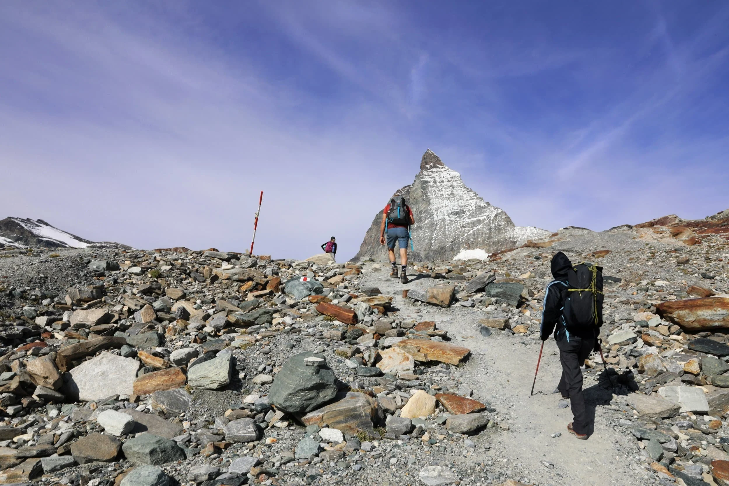
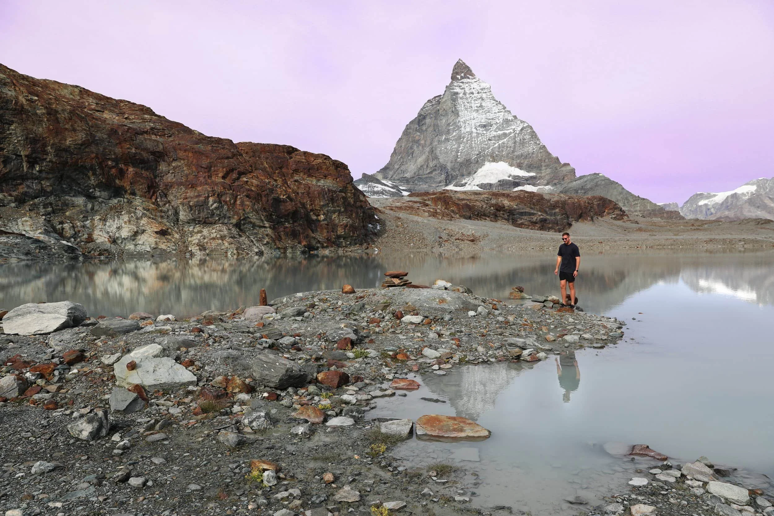
The Matterhorn Glacier Trail starts at Trockener Steg and descends overall to Schwarzsee, with a few short climbs along the way. The first major section winds past a series of glacial lakes, with striking views of the Matterhorn reflected in the water. This is the most photogenic part of the hike, so I’d take your time here and stop at the viewpoints rather than rushing through.
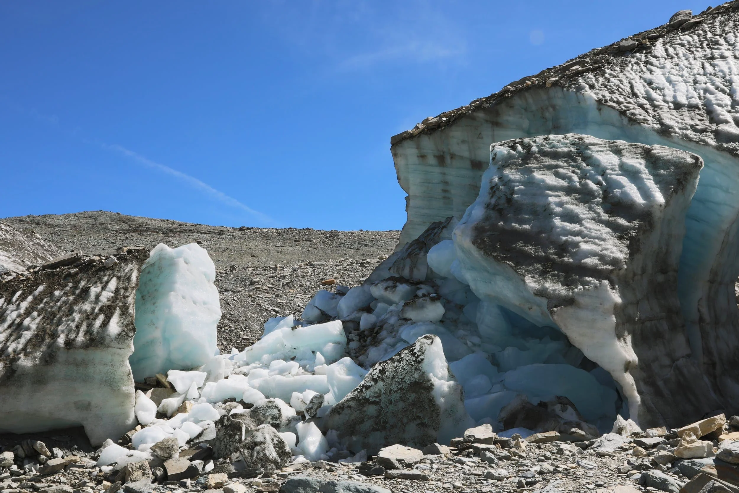
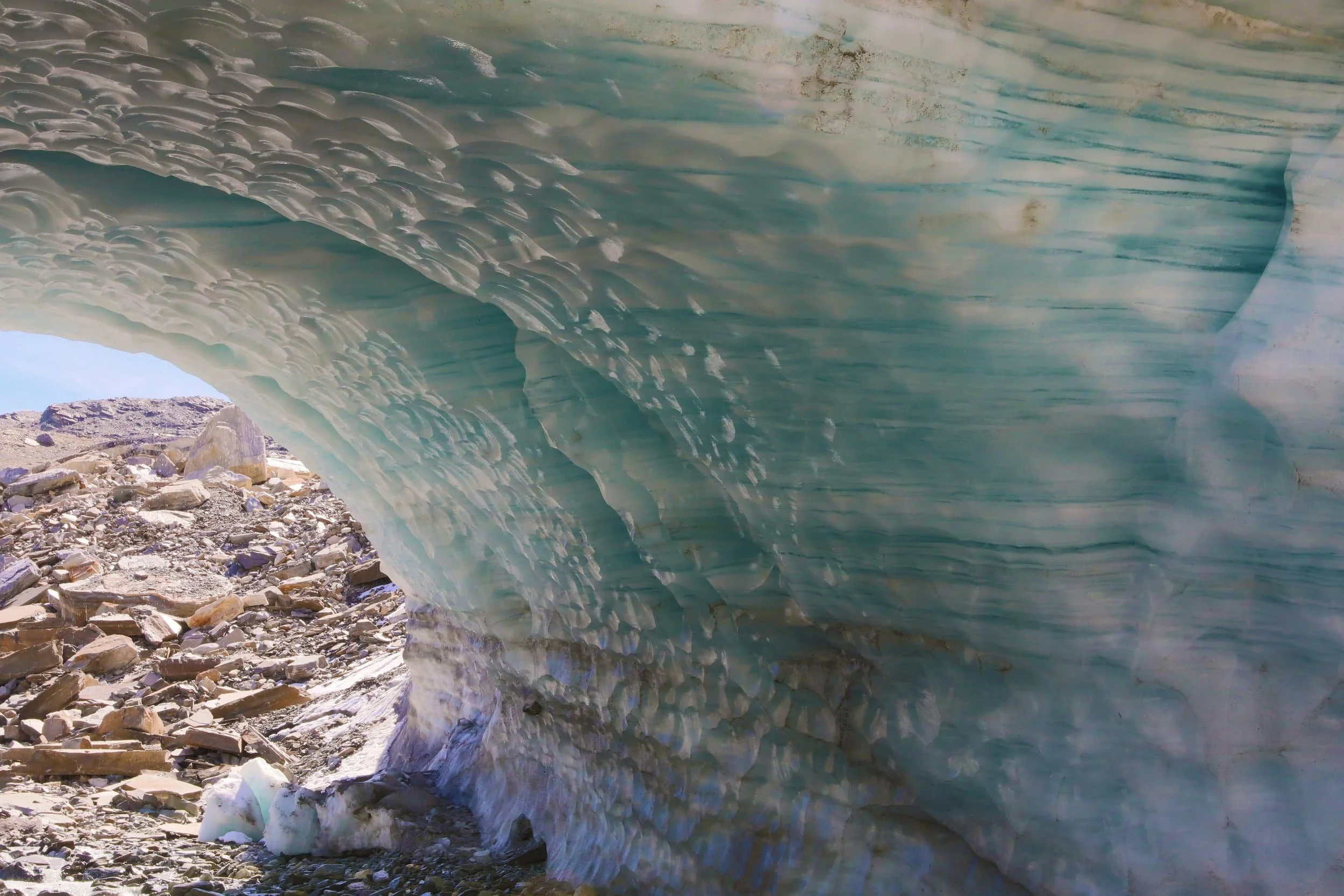
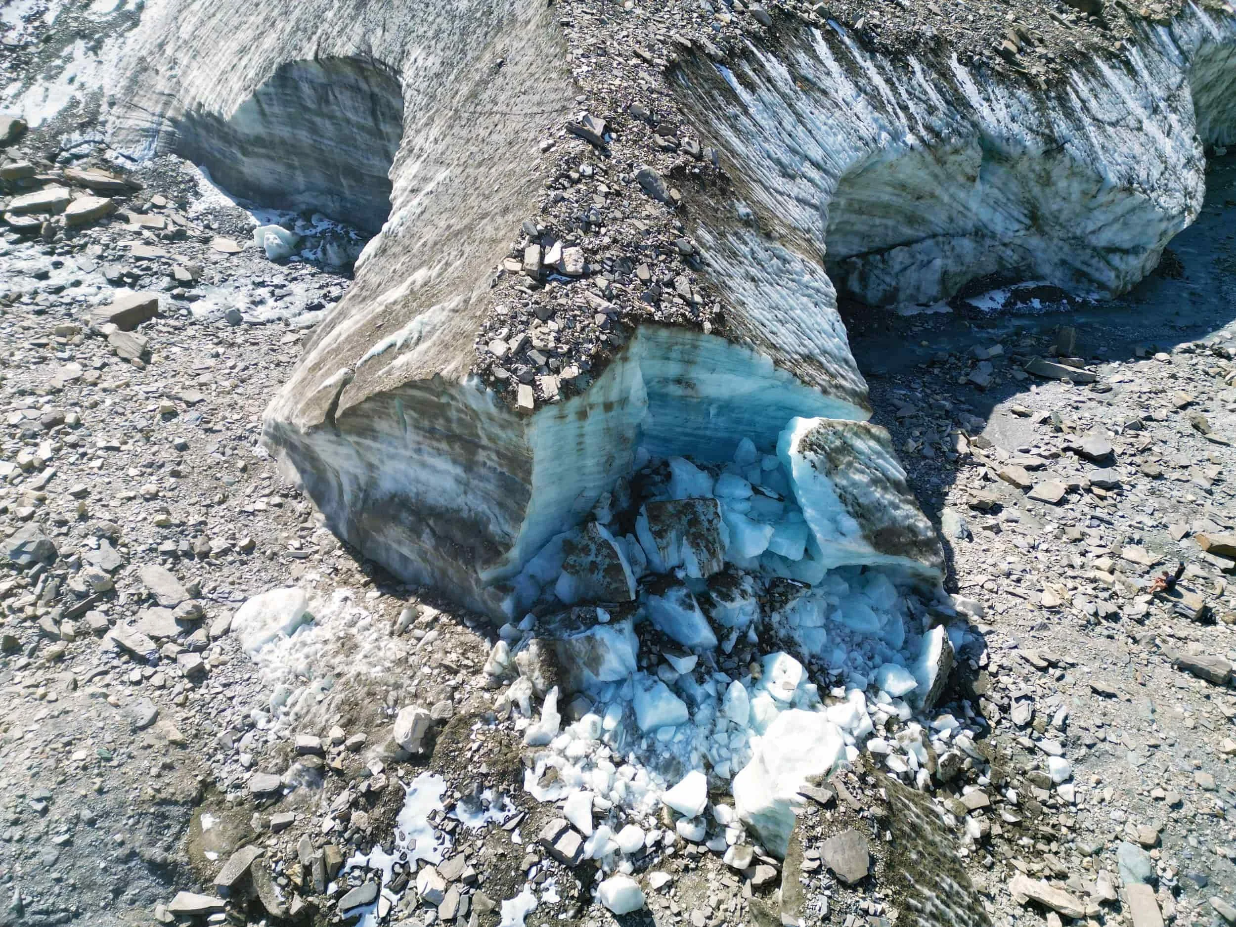
As you continue downhill, the scenery shifts from the lakes to the rocky landscape around the glacier. The trail brings you close to the Furgg Glacier, at the foot of the Matterhorn, before continuing down to Schwarzsee. The route is exposed and high in the mountains, so check the weather and trail status before setting out, and stay on the marked path.
How Difficult is the Hike?
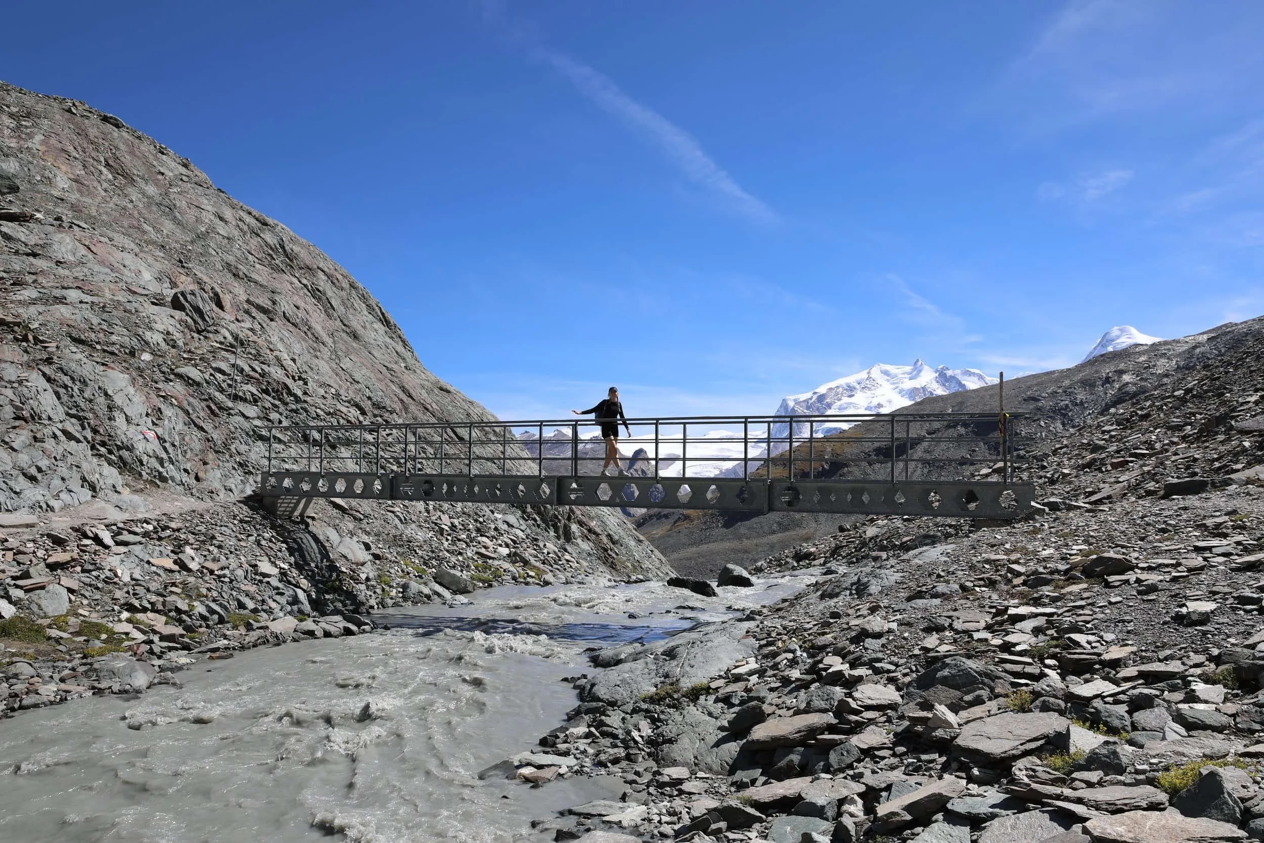
The Matterhorn Glacier Trail is a moderate high-alpine hike. It’s mostly downhill, but the path is rocky and uneven in places, and there are a few short climbs. The altitude and exposed terrain can make the walk feel more demanding, especially if you’re not used to hiking in the mountains.
You don’t need climbing skills, but wear shoes with good grip and take care on loose or uneven ground. The trail reaches nearly 3,000 metres, so check conditions before you go and be prepared for changing weather.
We ended up continuining the hike down from Schwarzsee all the way back too Zermatt which left us feeling pretty exhausted.
How Long Does it Take?
The trail is around 6.6 kilometres and takes approximately two hours to walk. Allow longer if, like me, you want to linger by the lakes and take photos. The route finishes at Schwarzsee, where you can take the cable car back down to Zermatt.
What to Wear and Bring
Wear sturdy hiking shoes or trail runners with good grip for the rocky, uneven sections. Bring a warm layer and a waterproof jacket, as conditions can change quickly at this altitude, even on a sunny day. Especially make sure you consider that despite it being quite warm in Zermatt it is often a fair bit colder up on the mountainside.
Carry water and snacks, and pack sunscreen, sunglasses and a hat. The trail is exposed, so there’s little shelter from the sun or wind.
Is Hiking the Matterhorn Glacier Trail Worth it?
Absolutely. The Matterhorn Glacier Trail was the best hike we did in Zermatt.
That surprised me, given how much attention the Five Lakes Walk gets, but I found this route even more impressive. The glacial lakes, rugged high-alpine scenery and the Matterhorn towering nearby made it a standout.
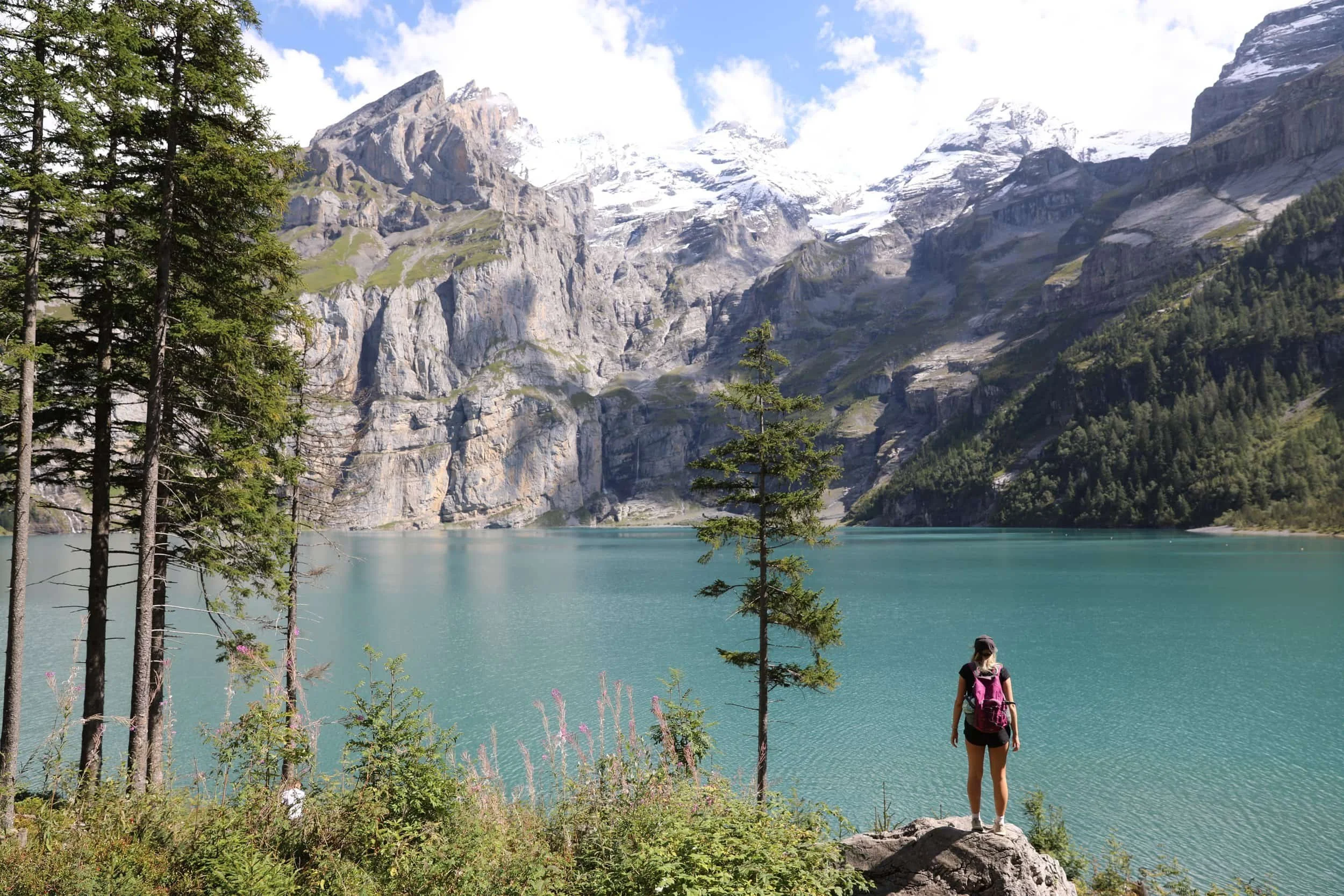
For me, the Matterhorn Glacier Trail is arguably the second-best hike in all of Switzerland, behind only the Oeschinensee Panorama Trail in Kandersteg. That’s high praise, but the scenery really is that good. If you’re visiting Zermatt, I’d put it at the top of your list.
Our Experience of the Oeschinensee Hike
We took the first gondola of the day, which was one of the best decisions we made. The early light was incredible, and we had the trail almost entirely to ourselves.
We started at Trockener Steg and set off downhill towards Schwarzsee. The views were spectacular almost immediately, but the first stretch, winding past the glacial lakes, was the part I wanted to stay at the most. The Matterhorn reflected in the water made for incredible photos, so I’d leave plenty of time to enjoy this section rather than rushing through it.
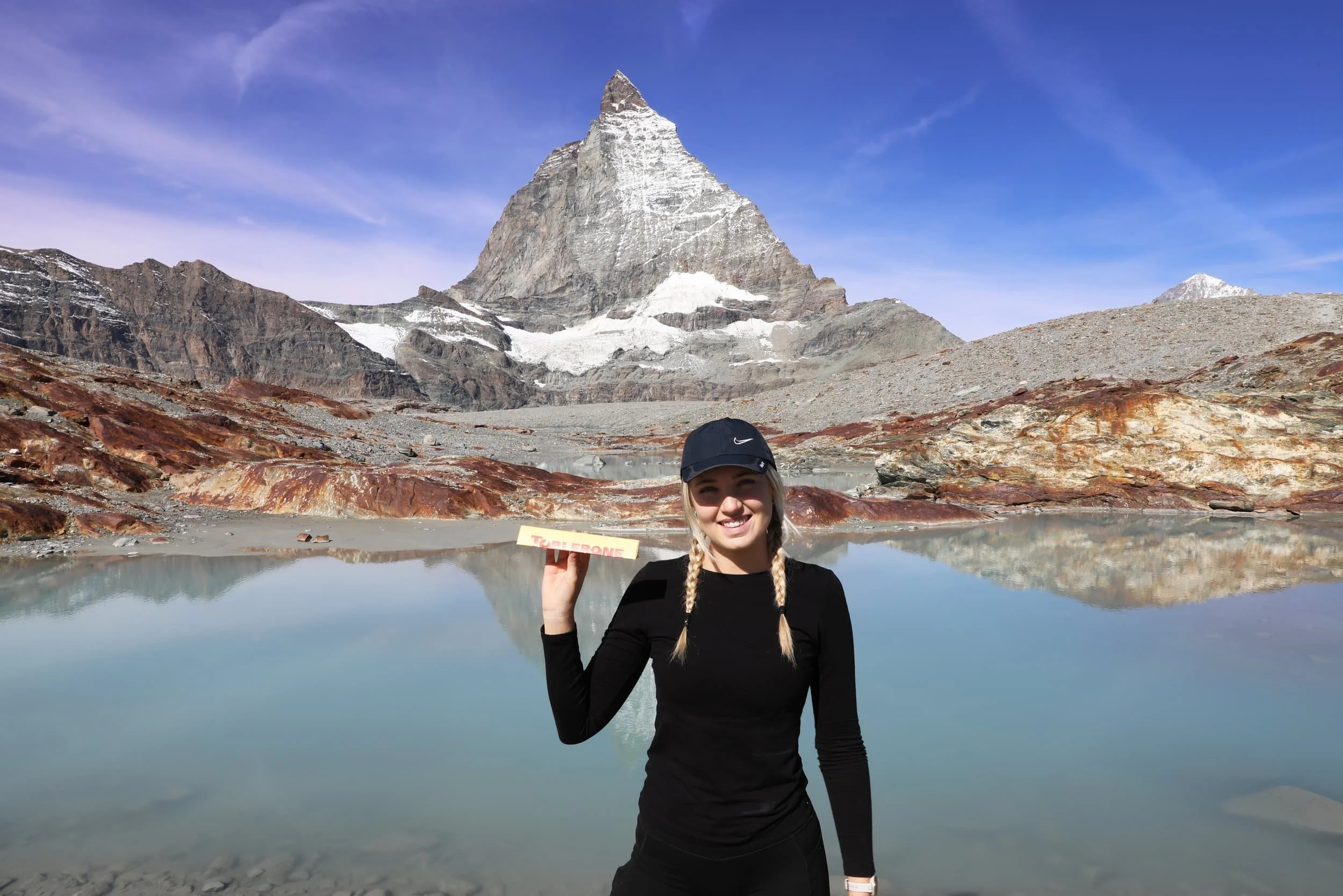
As we continued down, the landscape became rockier and the trail led us closer to the glacier at the base of the Matterhorn. I was amazed by how quiet the trail was, especially given how incredible the scenery is. I even managed to get the classic photo with a bar of Toblerone, a perfect mountain-side treat. We stopped here for quite some time before continuing on with the journey.
We eventually reached Schwarzsee and had a drink at the mountain resturaunt. The combination of glacial lakes, dramatic mountain scenery and the Matterhorn right beside you made this clearly one of my favourite hikes in Switzerland.
Related Posts:

The Matterhorn Glacier Trail is one of the most unforgettable hikes in Zermatt, Switzerland, taking you high into the Pennine Alps beneath the mighty Matterhorn. Along the way, the mountain’s unmistakable peak is reflected in still glacial lakes, framed by rugged rock and ice. This guide covers how to reach the trail, what to expect along the route and how to plan your hike.