Guide to Hiking to Trøllkonufingur Viewpoint, Vagar, Faroe Islands
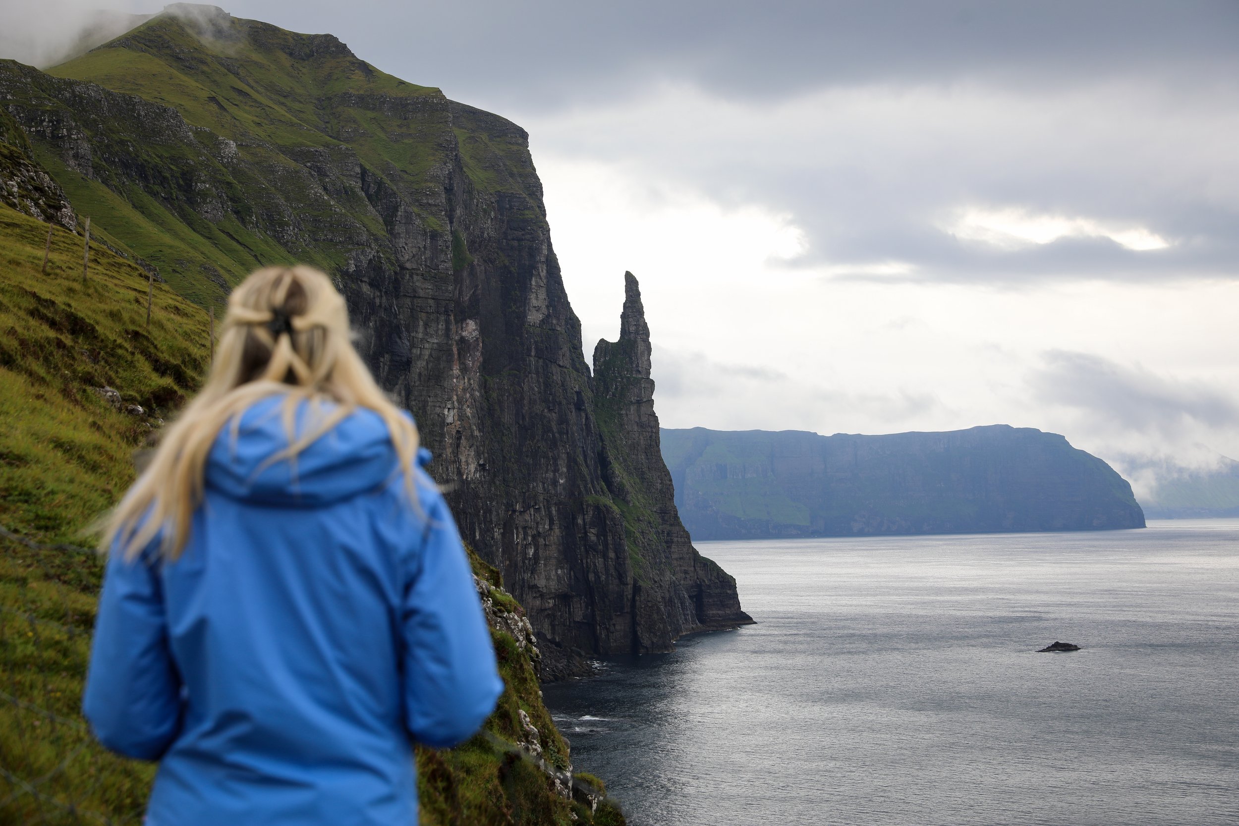
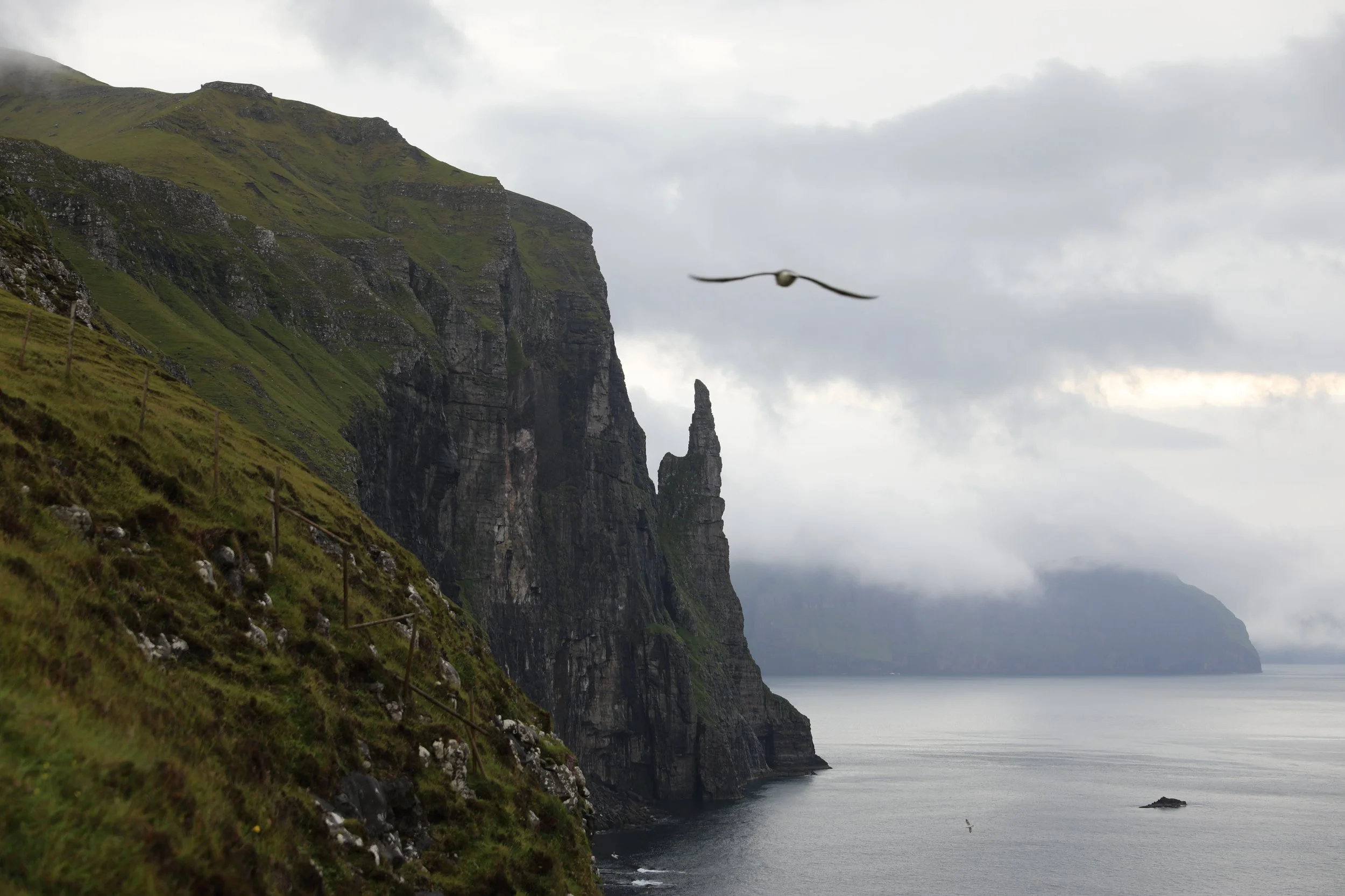
The Trøllkonufingur, known as the Witch’s Finger, near Sandavágur on Vágar Island is one of the Faroe Islands most iconic coastal sights, offering dramatic views of the towering sea stack rising from the North Atlantic.
Viewpoint - Trøllkonufingur
Hike Overview and Map
Trailhead: Follow signs from the carpark | Google Maps
Parking: location | Google Maps
Total Hiking Distance: 3 km | round trip
Total Hiking Duration: 20 minute walk | one way
Difficulty: Easy
Altitude: 313 meters above sea level
Price: Free entry
Highlights: Sweeping clifftop views of the North Atlantic, the dramatic Trøllkonufingur (Witch’s Finger) sea stack rising from the ocean below
Getting There
From Tórshavn:
Hire Car
All generic hire car companies (Avis, Budget, Europcar) are available from Vágar Airport (Vágar) or Tórshavn city centre (Streymoy)
Car hire costs vary substantially and it is usually one of the most significant costs of a trip to the Faroe Islands so it is best to check and compare prices at the time of booking
The roads are well surfaced the entire way so a 2WD is fine for the journey
The drive takes around 35 minutes one-way to Sandavágur
The total distance is around 36 km one-way
Overall a hire car is the best way to get around the Faroe Islands if its within your budget
Public Bus
It is possible to get to Tórshavn to Sandavágur via public bus on the line 300
The bus runs fairly frequently given that its along the path to the airport
More information can be found on the Strandfaraskip Landsins website including timetables
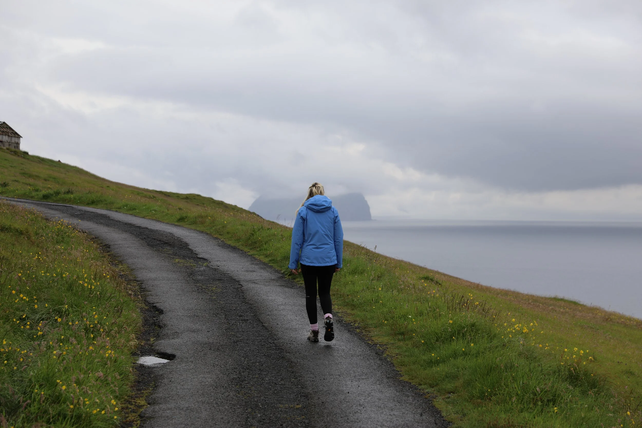
Trøllkonufingur Trail
General Tips
You must park at a small carpark in Sandavágur, with signs preventing you from driving beyond this point
The walk is along a sealed road for the majority of the way before approaching a gated section
Once beyond the gate the trail/viewpoint area can get extremely muddy so be sure to wear sturdy waterproof footwear.
In general the weather is extremely unpredictable in the Faroe Islands so always prepare for rainfall with a rain/windproof jacket.
Ensure you take enough food and water for the hike as there are no facilities once you leave Sandavágur.
Although there is a fence, be very careful around the cliffs especially in windy conditions.
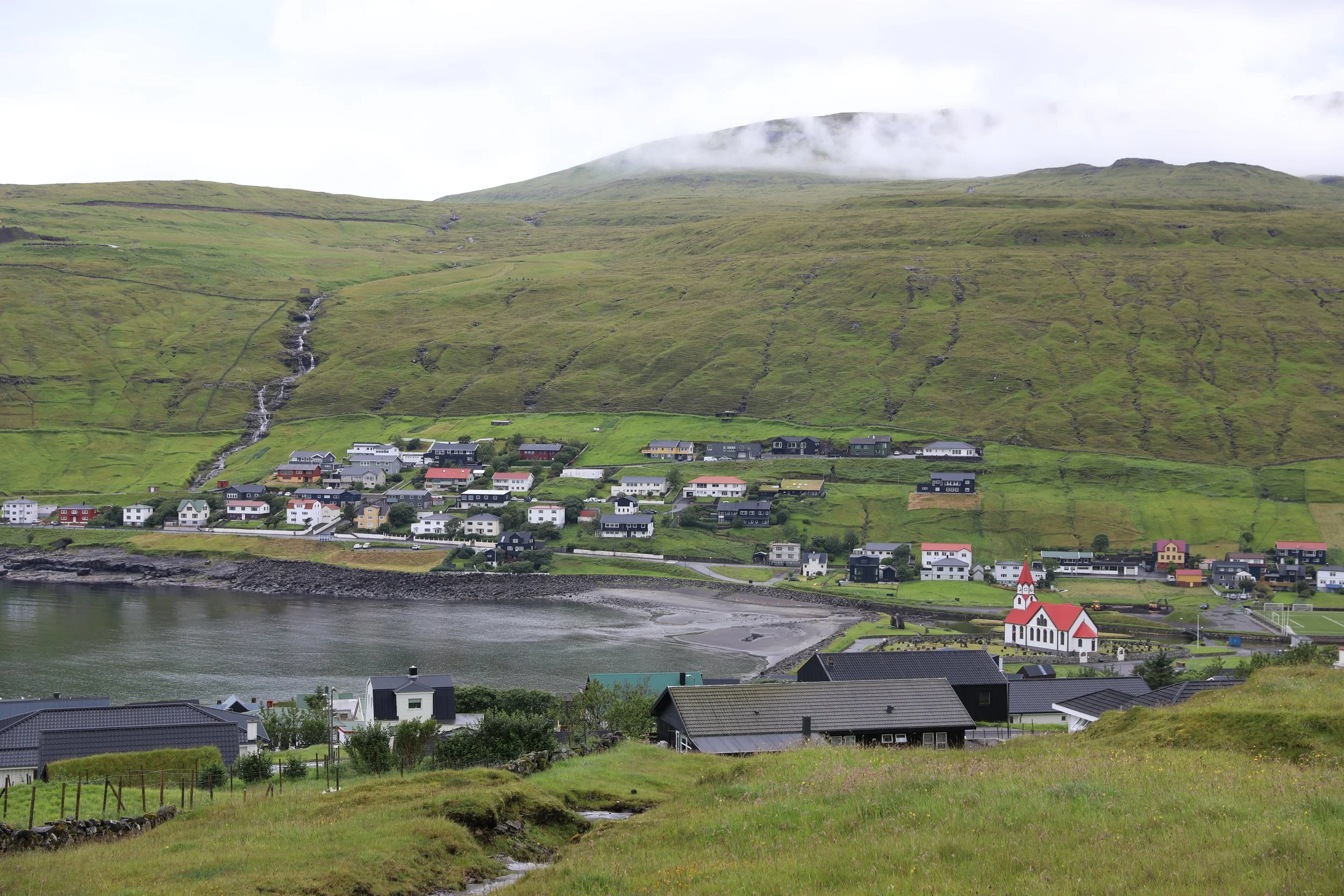
Sandavagur
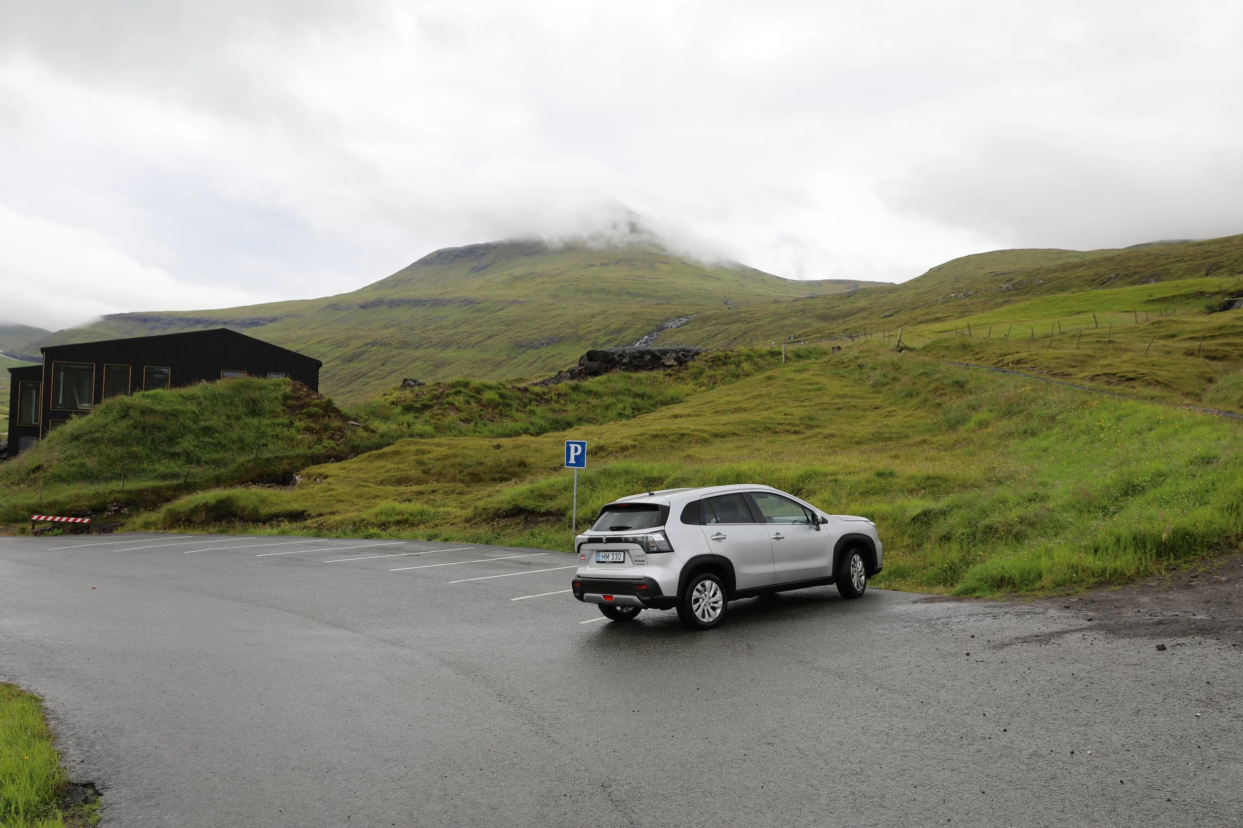
Parking for Trøllkonufingur
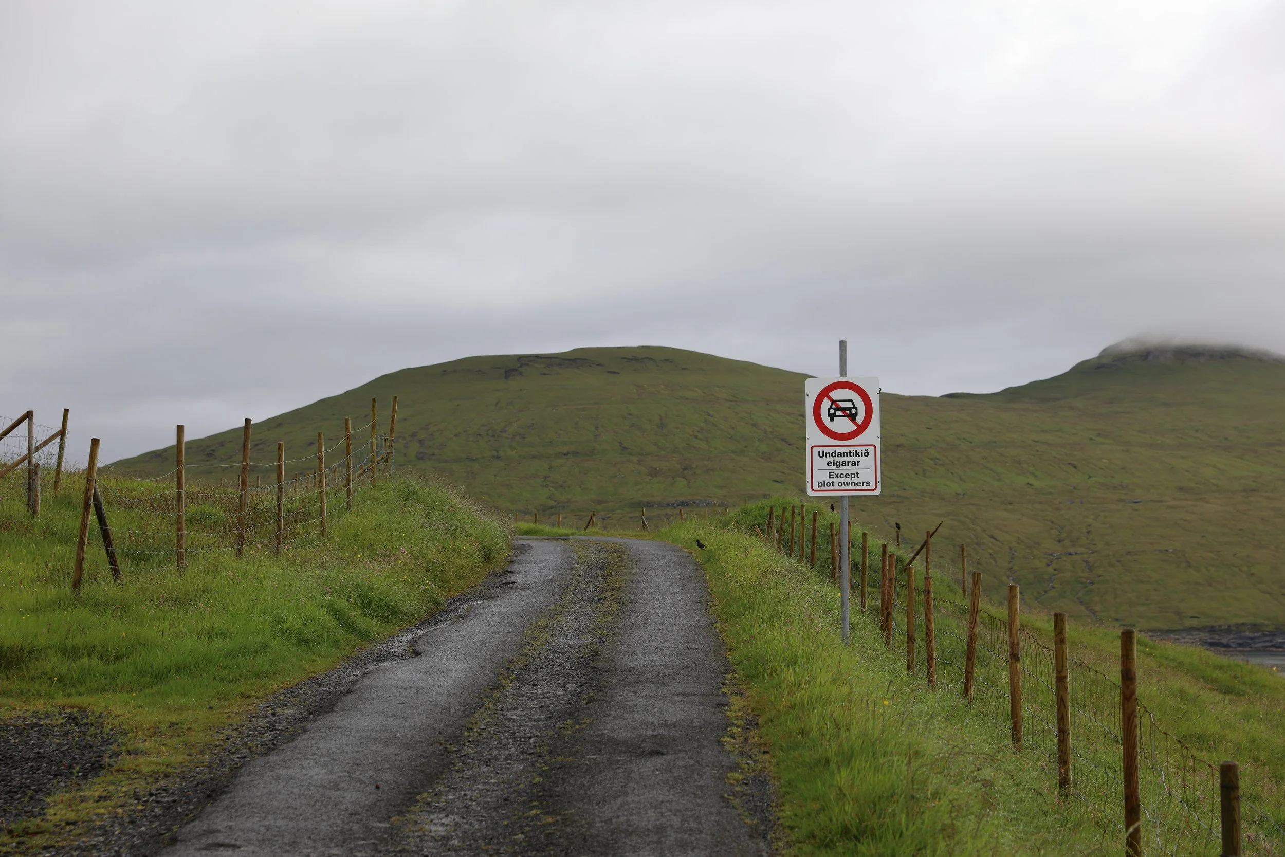
Signage Indicating No Cars
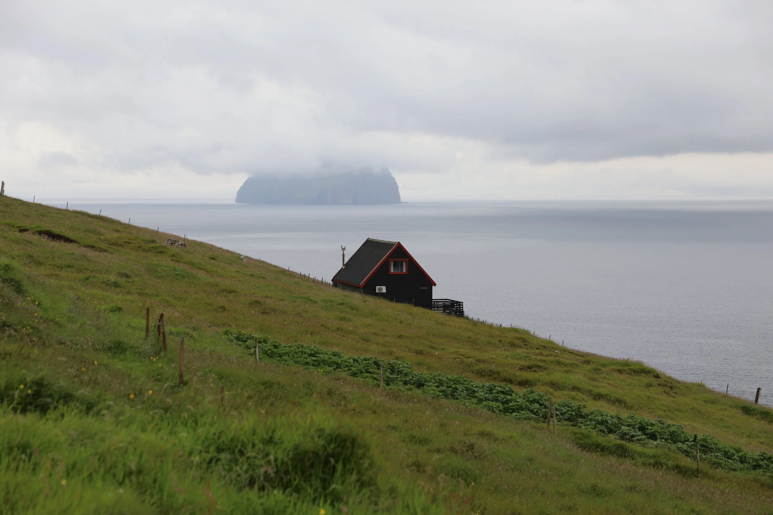
Hut Along the Walk to Trøllkonufingur
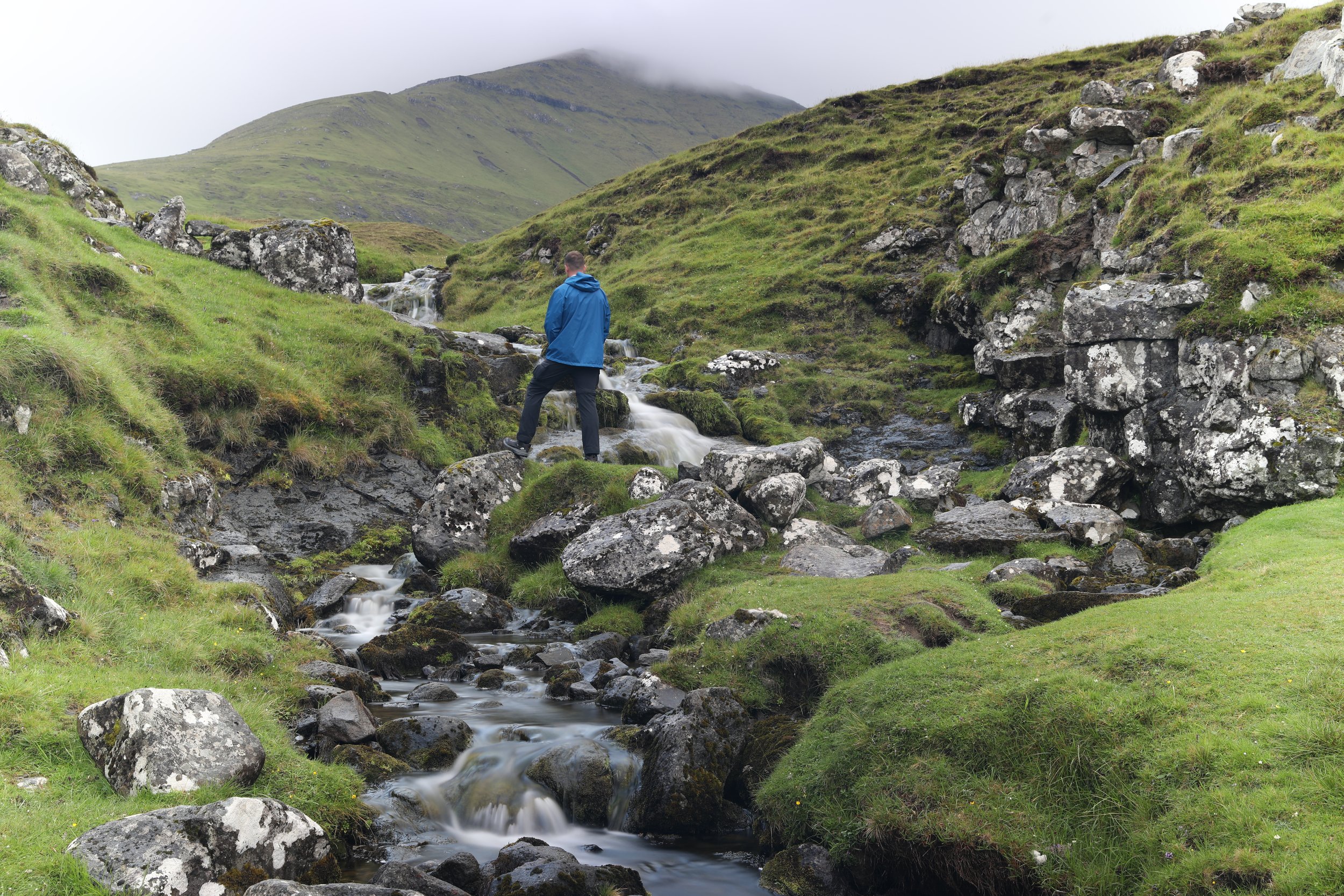
Stream at Entry to the Viewpoint
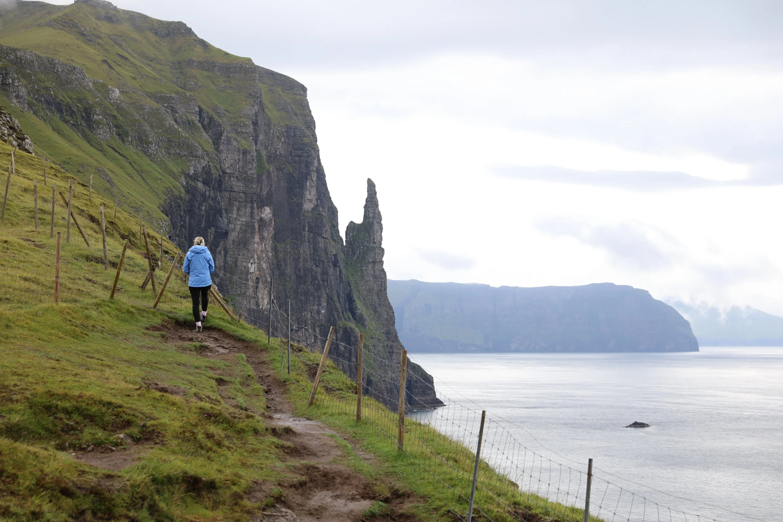
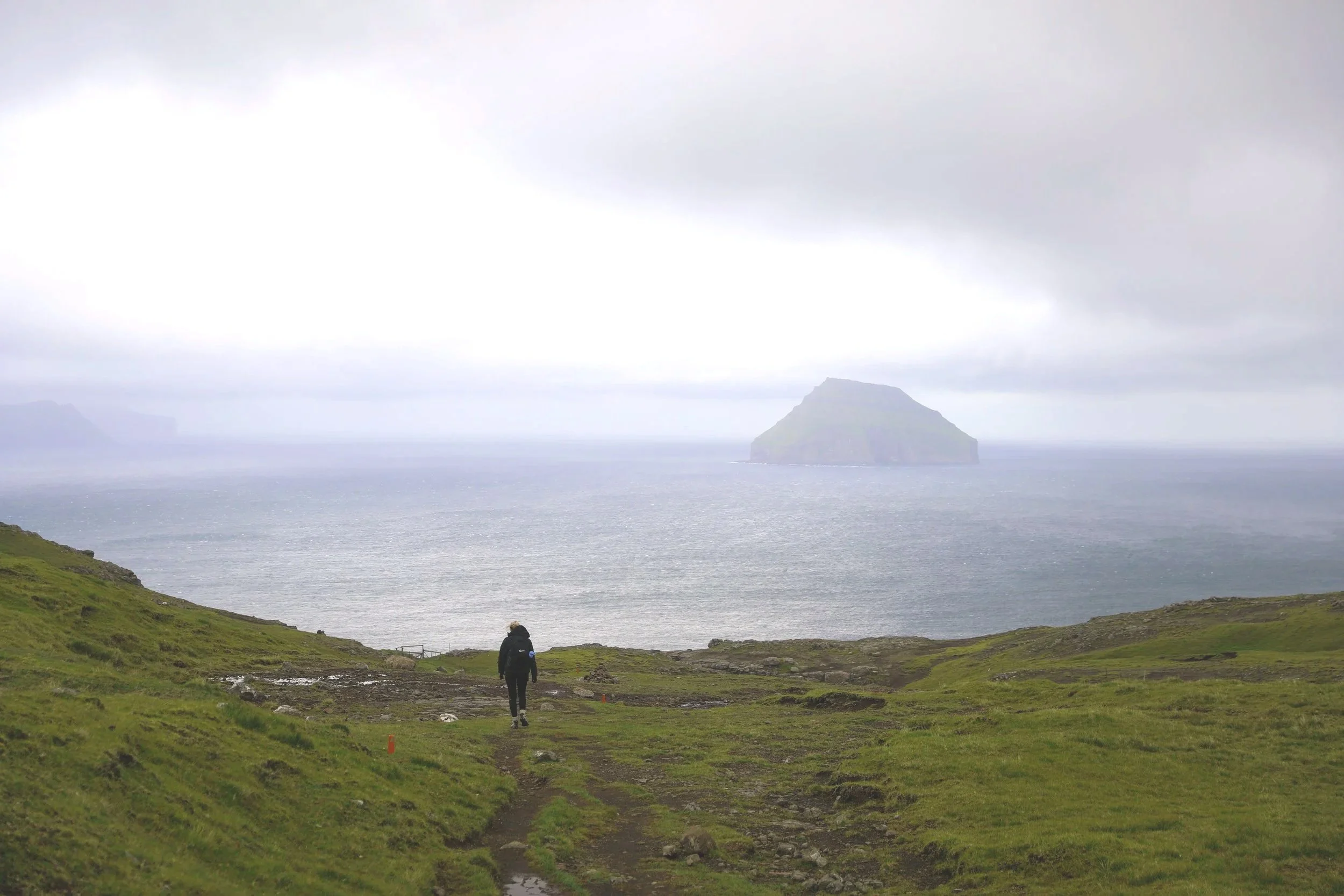
Arrival at Trøllkonufingur Lookout
Trøllkonufingur View
Where to Next
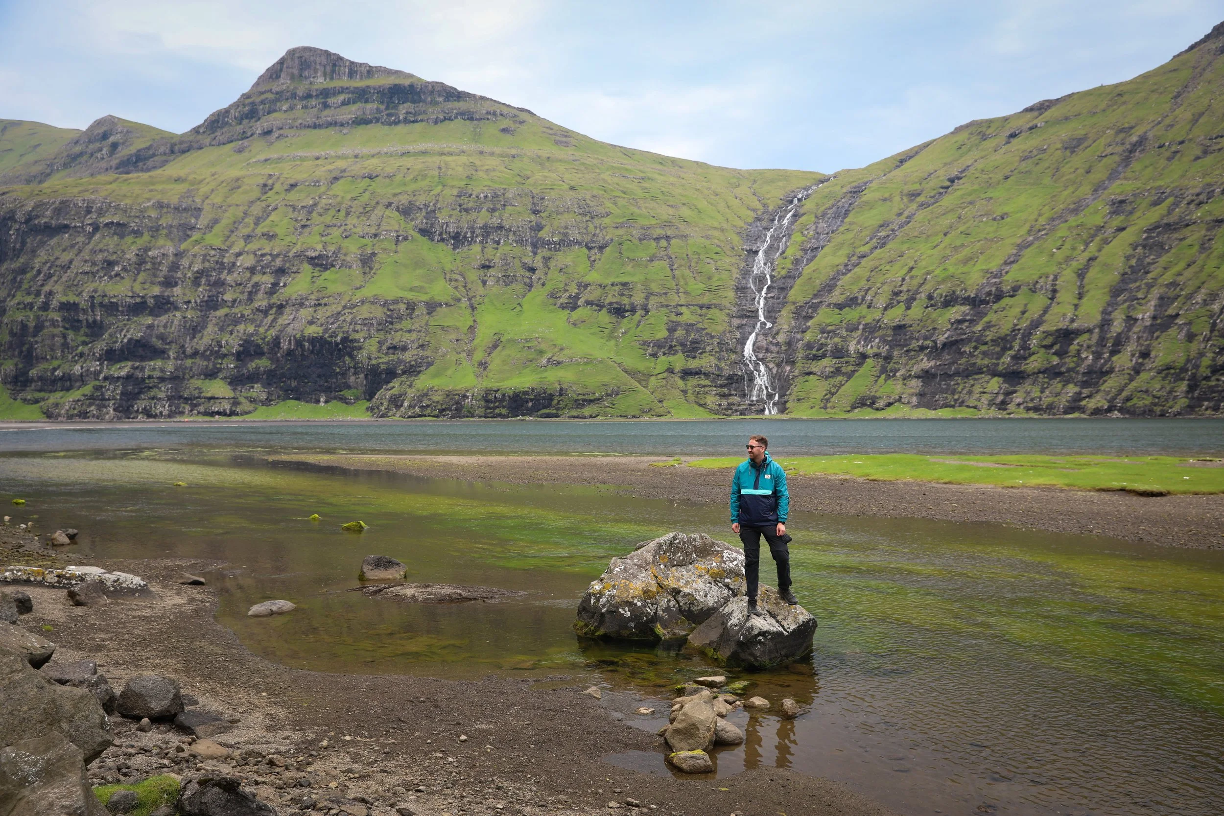
Sørvágsvatn: Whilst on Vagar its worth visiting Sørvágsvatn, which is only an 8 minute drive away. Sørvágsvatn is a dramatic clifftop lake known for its surreal illusion of hovering above the ocean below.
Múlafossur Waterfall: About a 25-minute drive from Sandavágur, the stunning Múlafossur Waterfall plunges roughly 30 metres straight into the Atlantic Ocean, making it one of the Faroe Islands’ most iconic and photographed natural landmarks.
Related Posts:
Perched above the village of Funningur on Eysturoy, the Hvíthamar hike is one of the Faroe Islands’ most accessible yet rewarding walks. The trail gently climbs to a viewpoint overlooking the fjord, with wide-open mountain scenery unfolding at every turn. It’s the kind of short hike that delivers big views, making it a perfect stop for travellers wanting a taste of Faroese hiking without a full-day commitment.