Guide to Hvannhagi and the Hvannavatn Lake Hike, Suðuroy, Faroe Islands
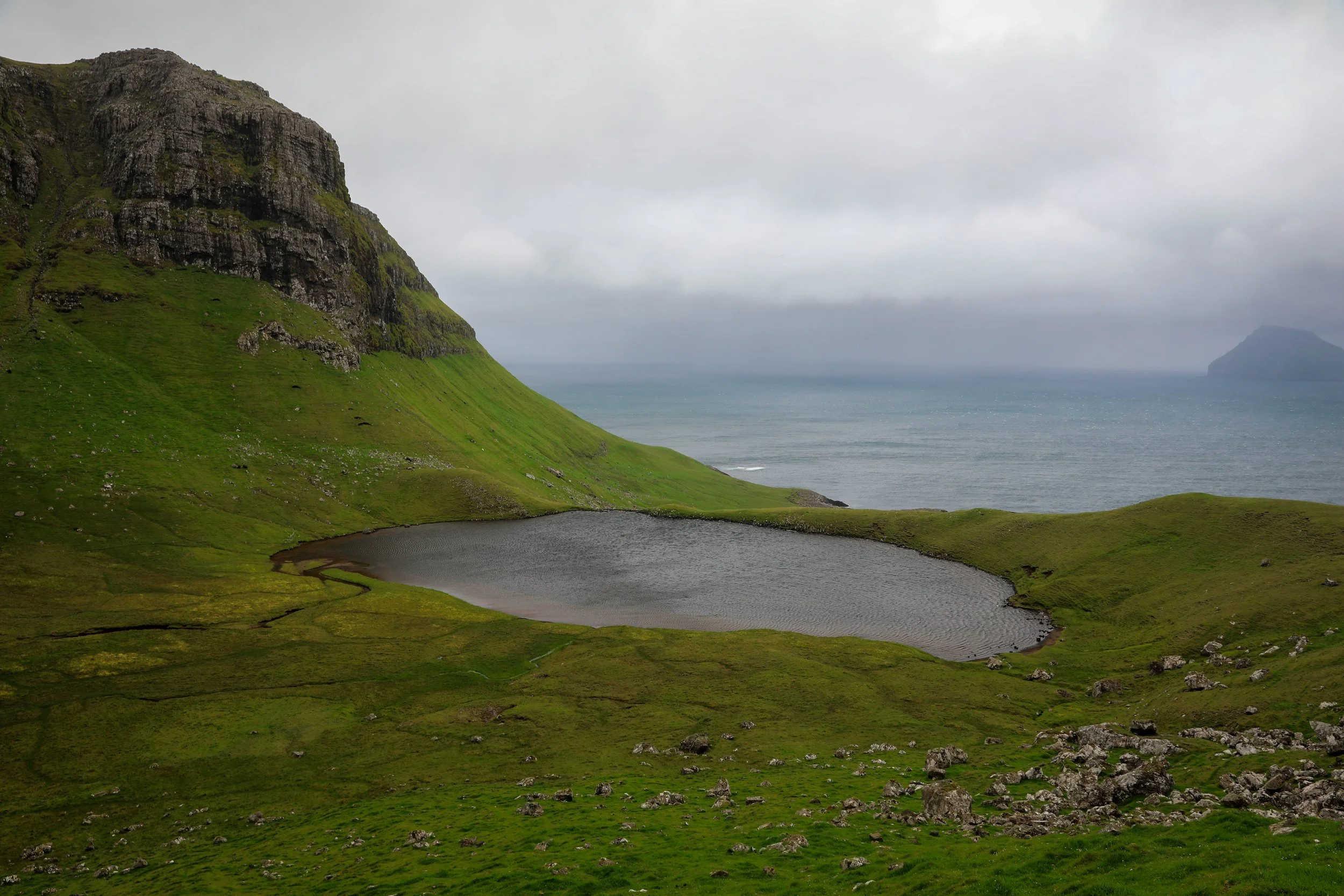
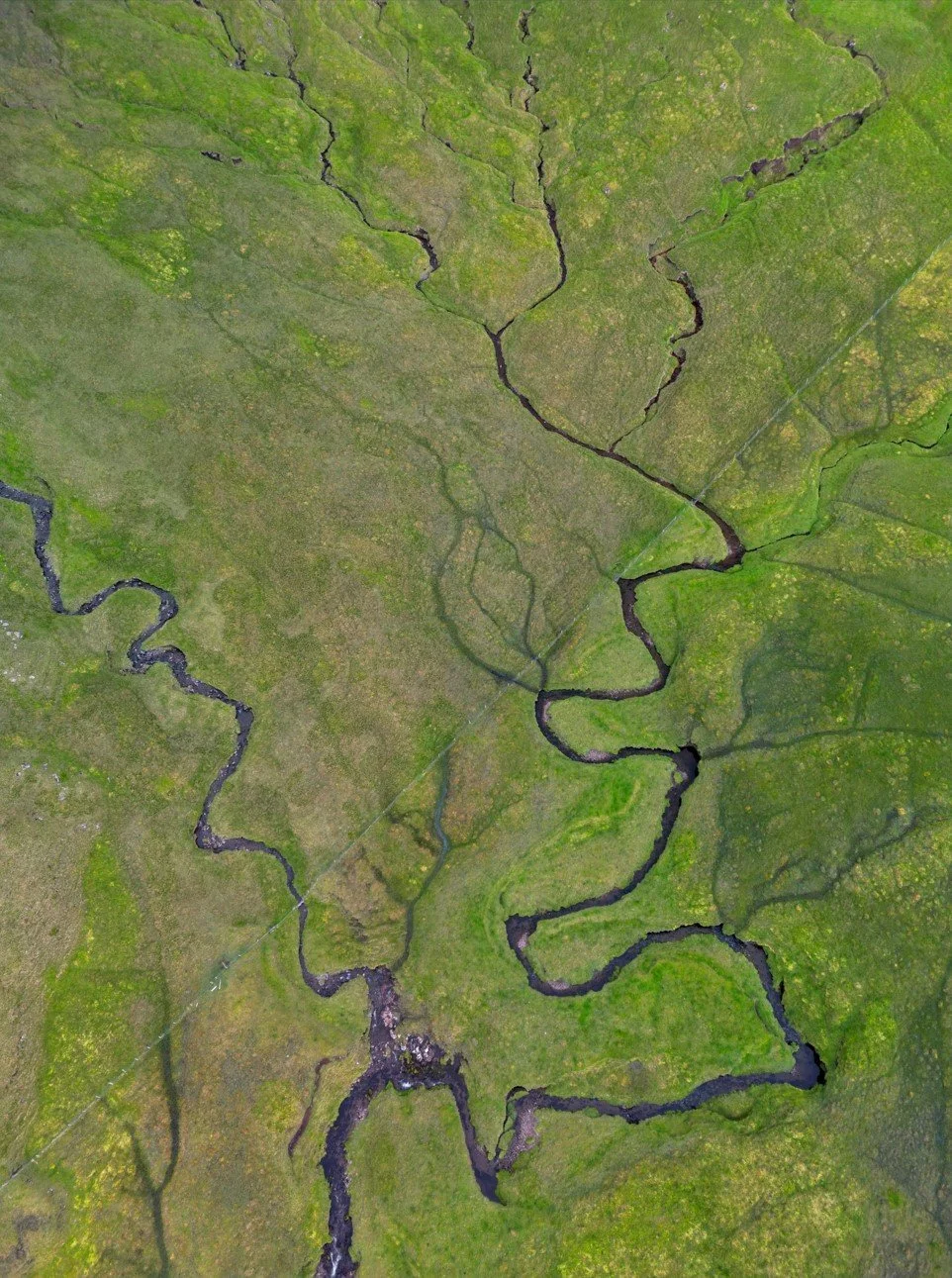
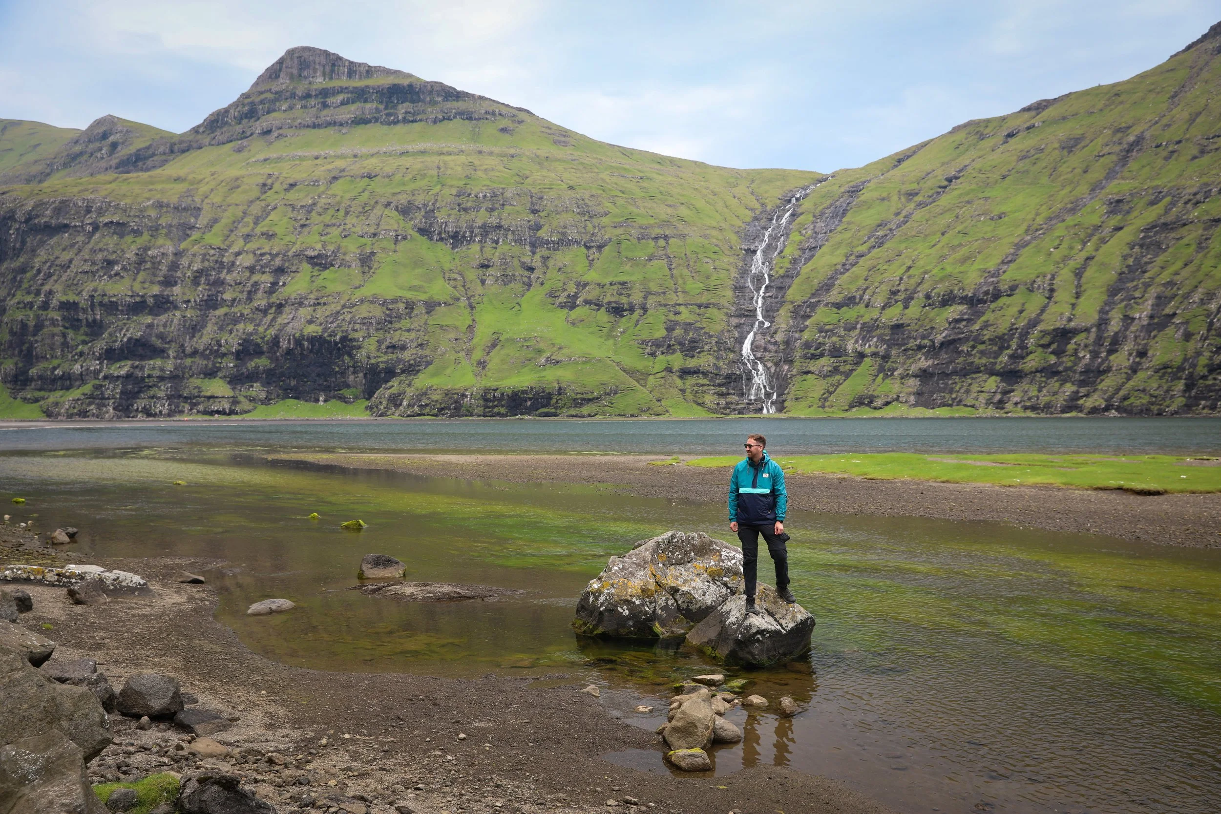
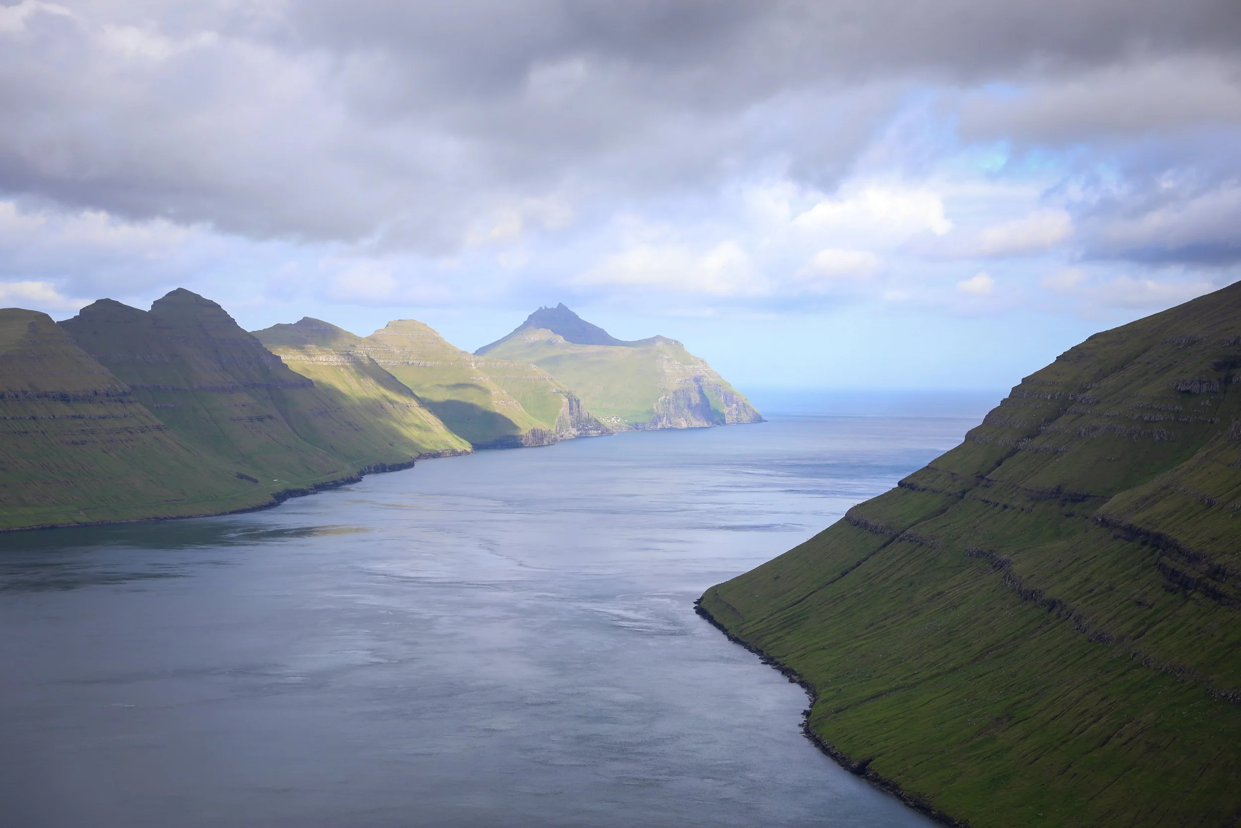
Hvannhagi is a dramatic natural amphitheatre on the southern tip of Suðuroy in the Faroe Islands, shaped by steep grassy slopes and towering cliffs that open toward the Atlantic Ocean. At its heart lies Hvannavatn Lake, resting quietly within the enclosed valley and framed by expansive views toward the sea and the striking silhouette of Lítla Dímun. The area’s remote setting and exposed coastal climate give the hike a raw, untamed character, making it one of Suðuroy’s most memorable walking routes.
Hvannavatn Lake Hike
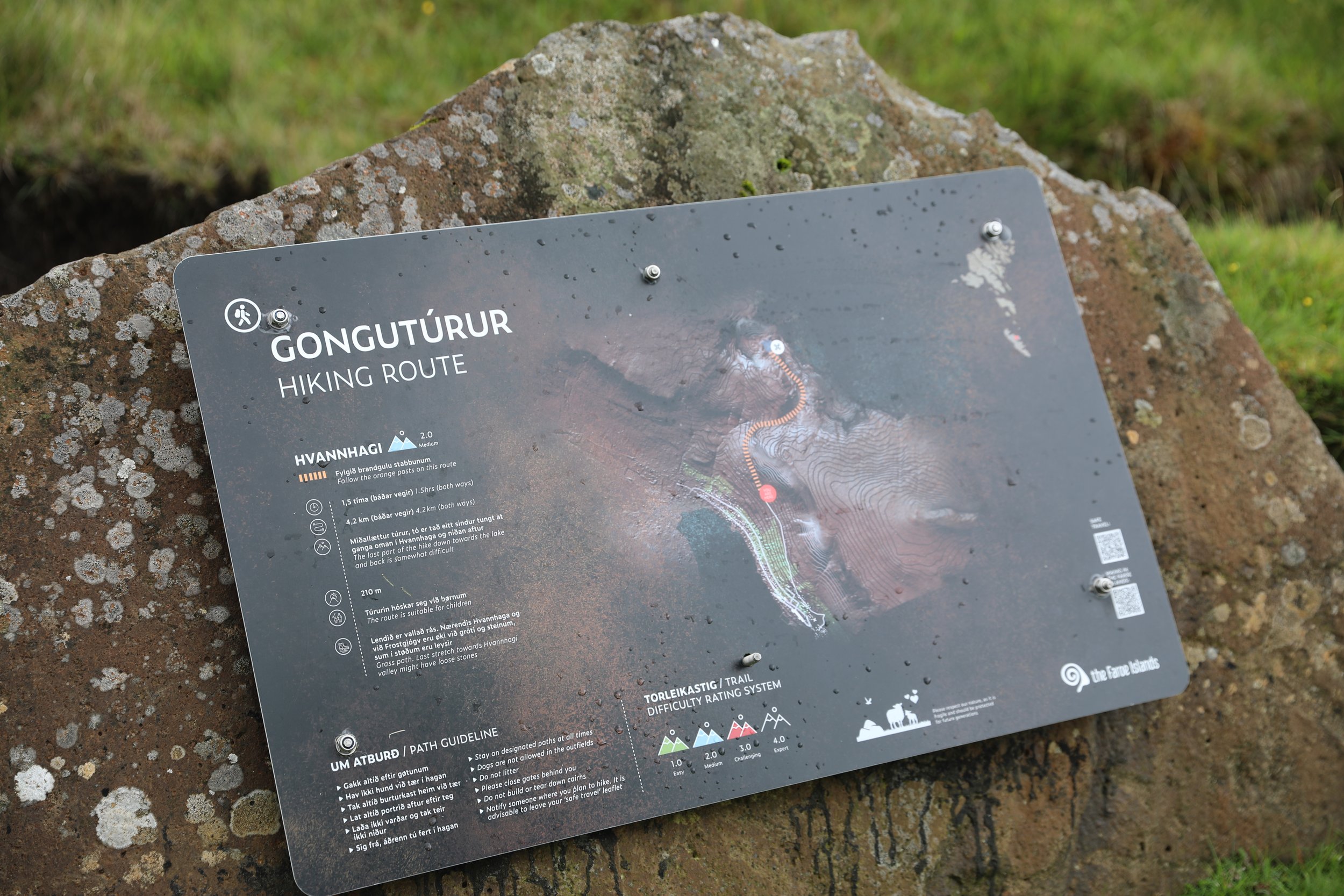
Hike Overview and Map
Trailhead: Sign located in the carpark | Google Maps
Parking: Unofficial parking location | Google Maps
Total Hiking Distance: 4 km | one way
Total Hiking Duration: 1.5 hour walk | one way
Difficulty: Moderate
Altitude: 220 meters above sea level
Price: Free entry
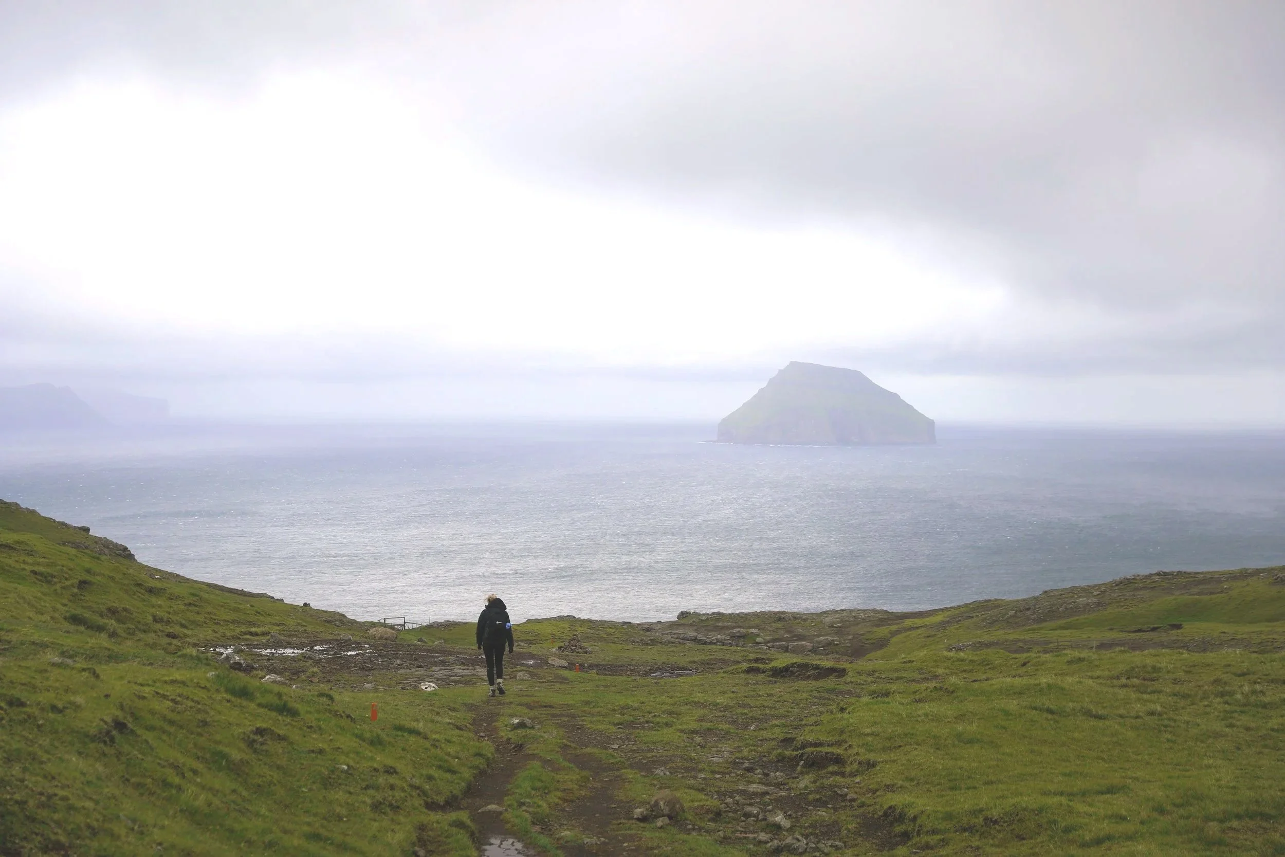
Highlights: Panoramic views over Hvannhagi, Hvannavatn Lake, and the Atlantic Ocean, with Lítla Dímun offshore.
Getting There
From Tórshavn:
Hire Car
All generic hire car companies (Avis, Budget, Europcar) are available from Vágar Airport (Vágar) or Tórshavn city centre (Streymoy)
Car hire costs vary substantially and it is usually one of the most significant costs of a trip to the Faroe Islands so it is best to check and compare prices at the time of booking
To get to the island of Suðuroy requires a ferry from Tórshavn you are able to book in advance and drive onto with your hire vehicle
The ferry can be booked on the Strandfaraskip Landsins website which includes timetables
Given the duration of the journey I would suggest spending at least one night over on Suðuroy
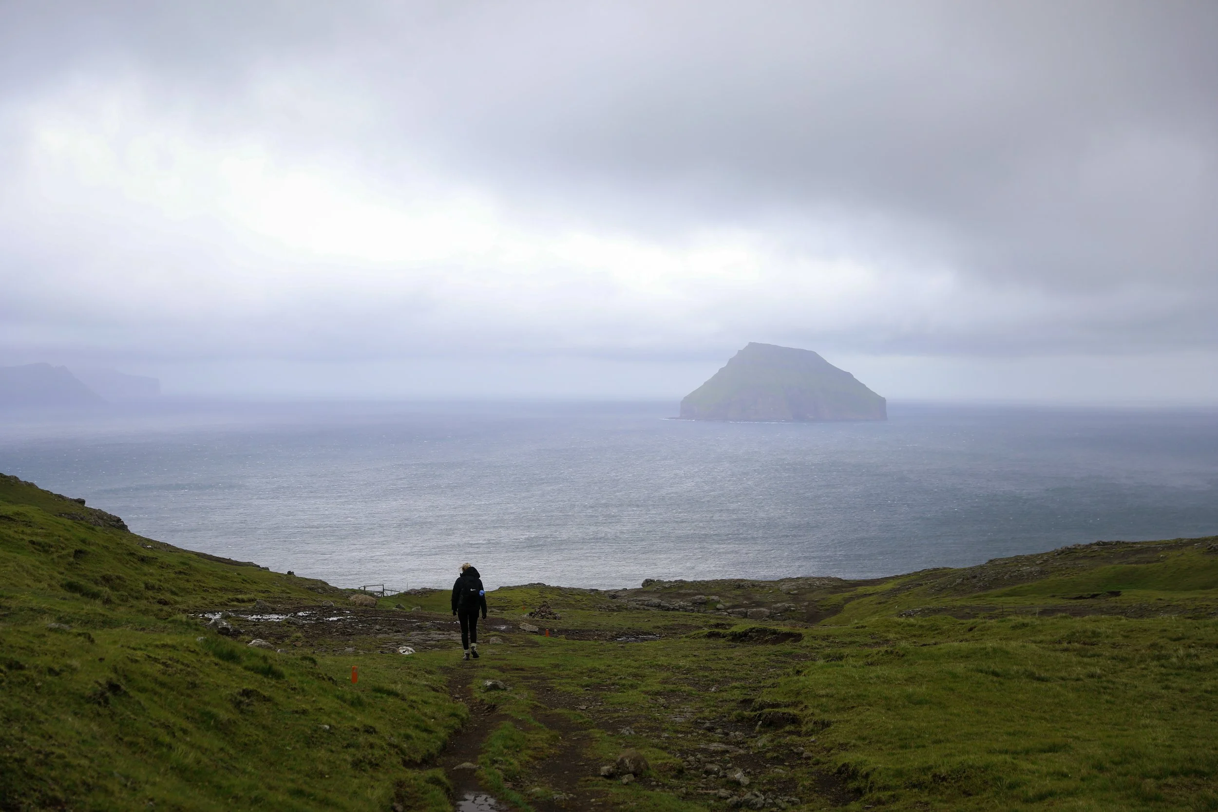
Hvannhagi Hiking Trail Views of Lítla Dímun
General Tips
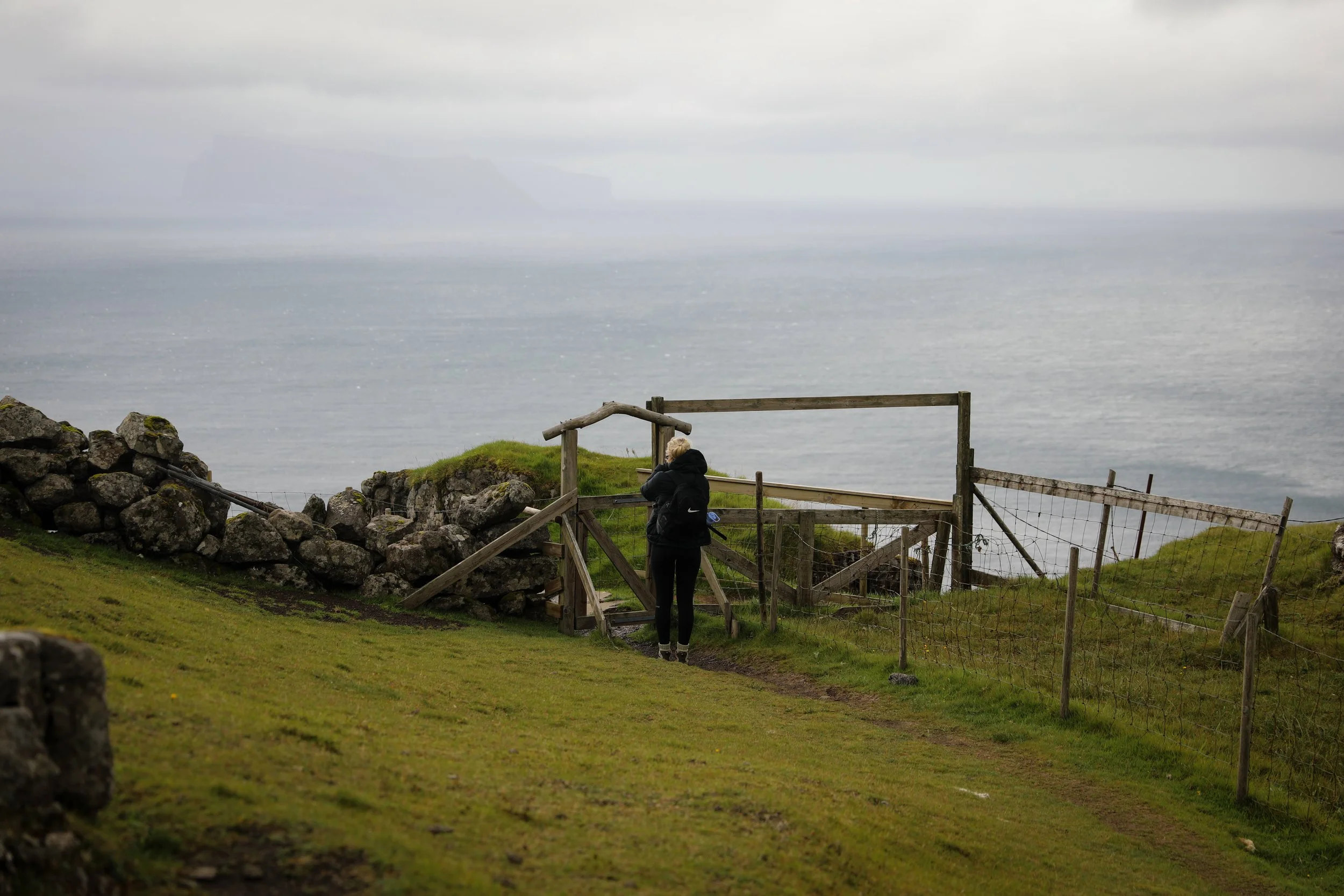
Note that there is no formal carpark for the start of the hike and it is more of a gravel pit to park in
Beyond the carpark the hike can get extremely muddy and most of it is on somewhat unmarked trails so be sure to wear sturdy waterproof footwear.
In general the weather is extremely unpredictable in the Faroe Islands so always prepare for rainfall with a rain/windproof jacket.
Ensure you take enough food and water for the hike as there are no facilities once you leave Klaksvik.
Allow yourself some time at the summit to take in the views as they tend to change constantly with the light and cloud movement.
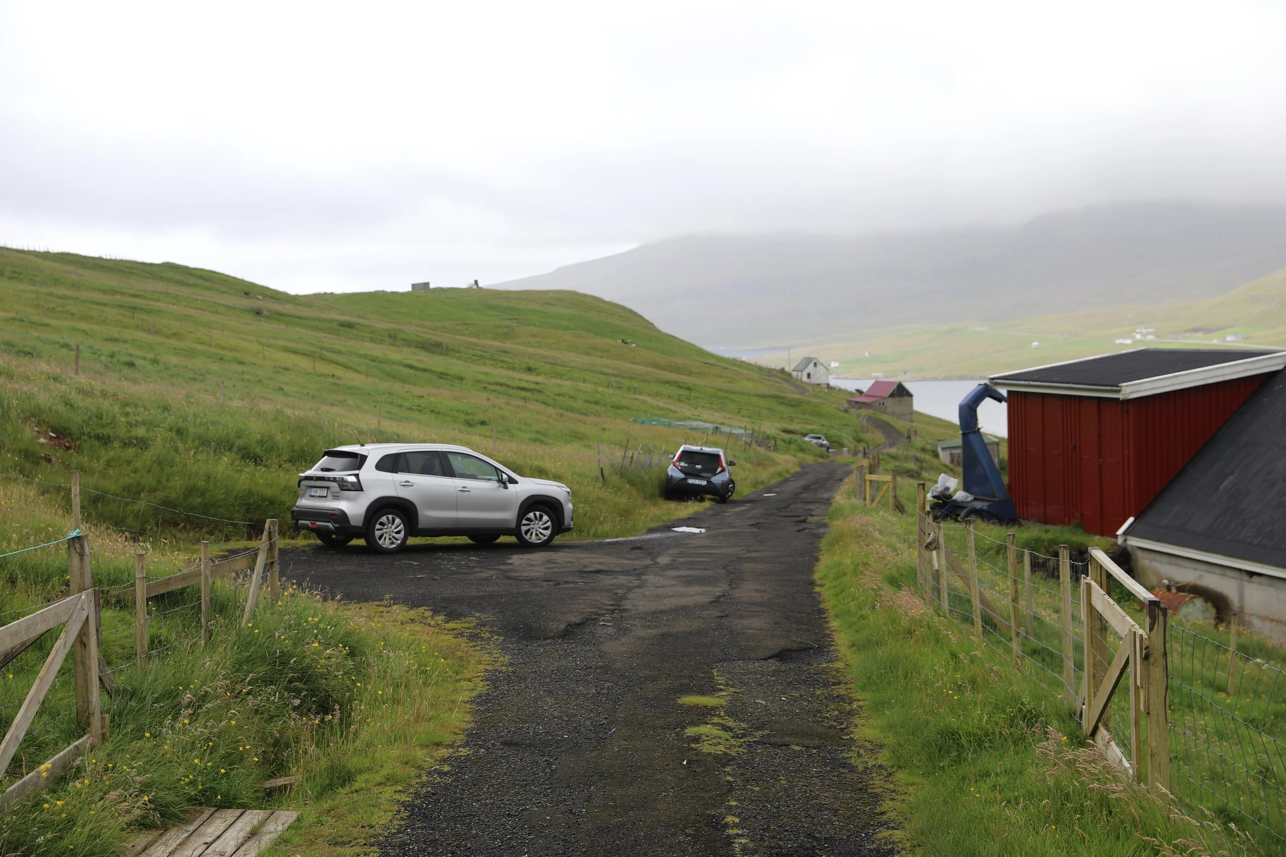
Hvannhagi Parking
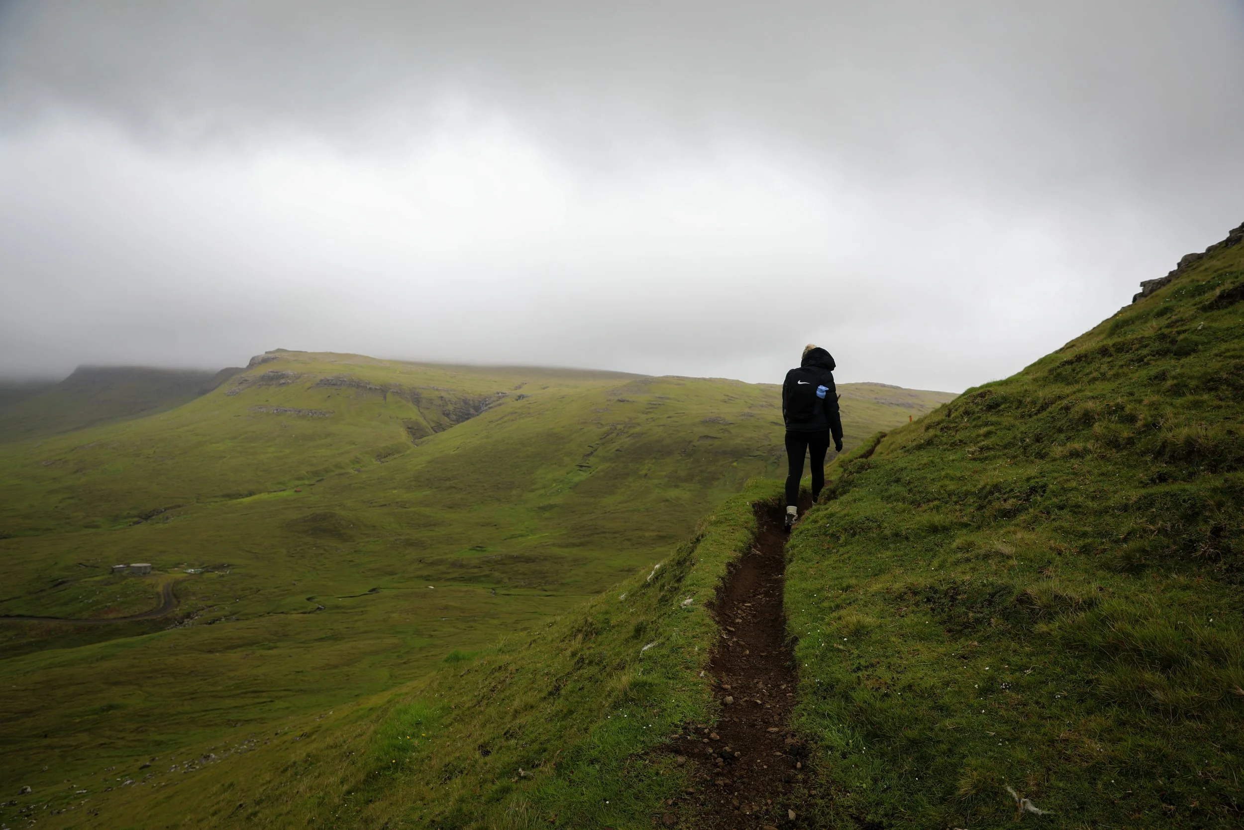
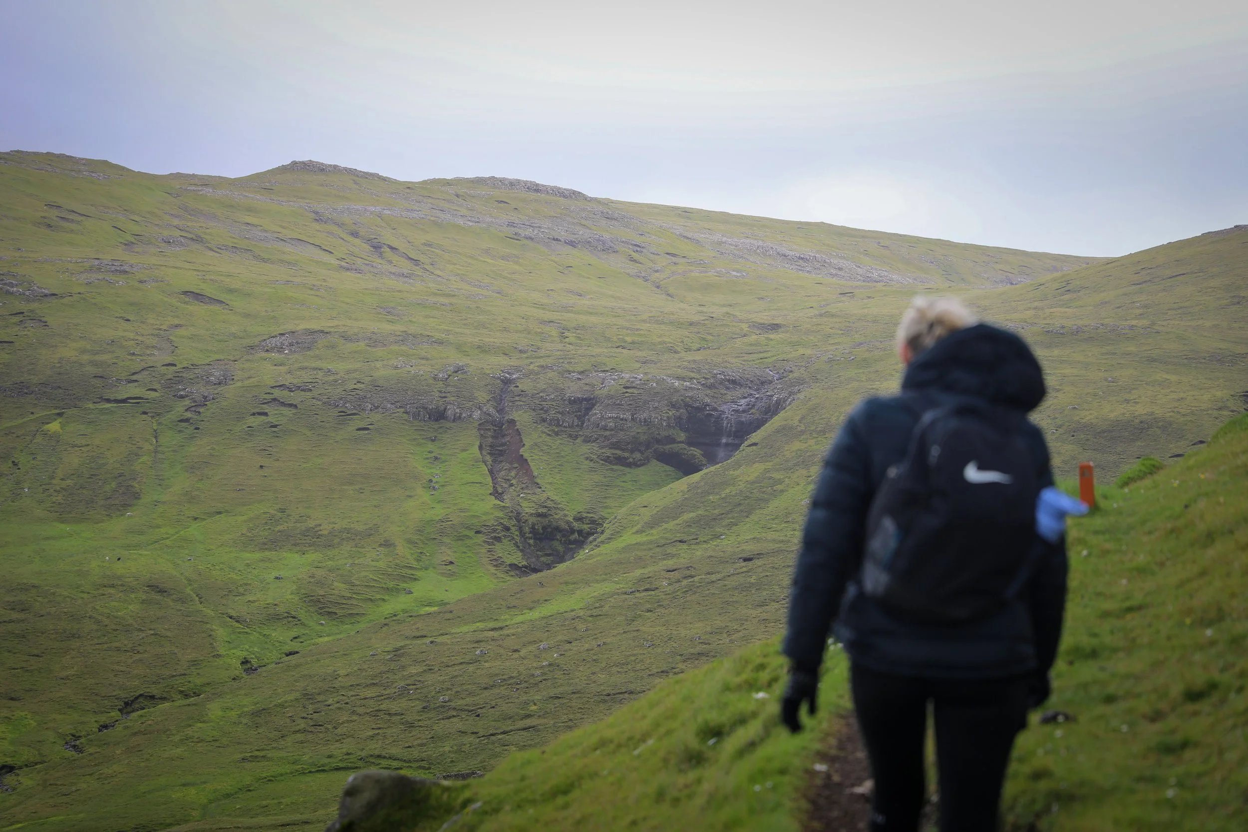
Hvannhagi Hiking Trail
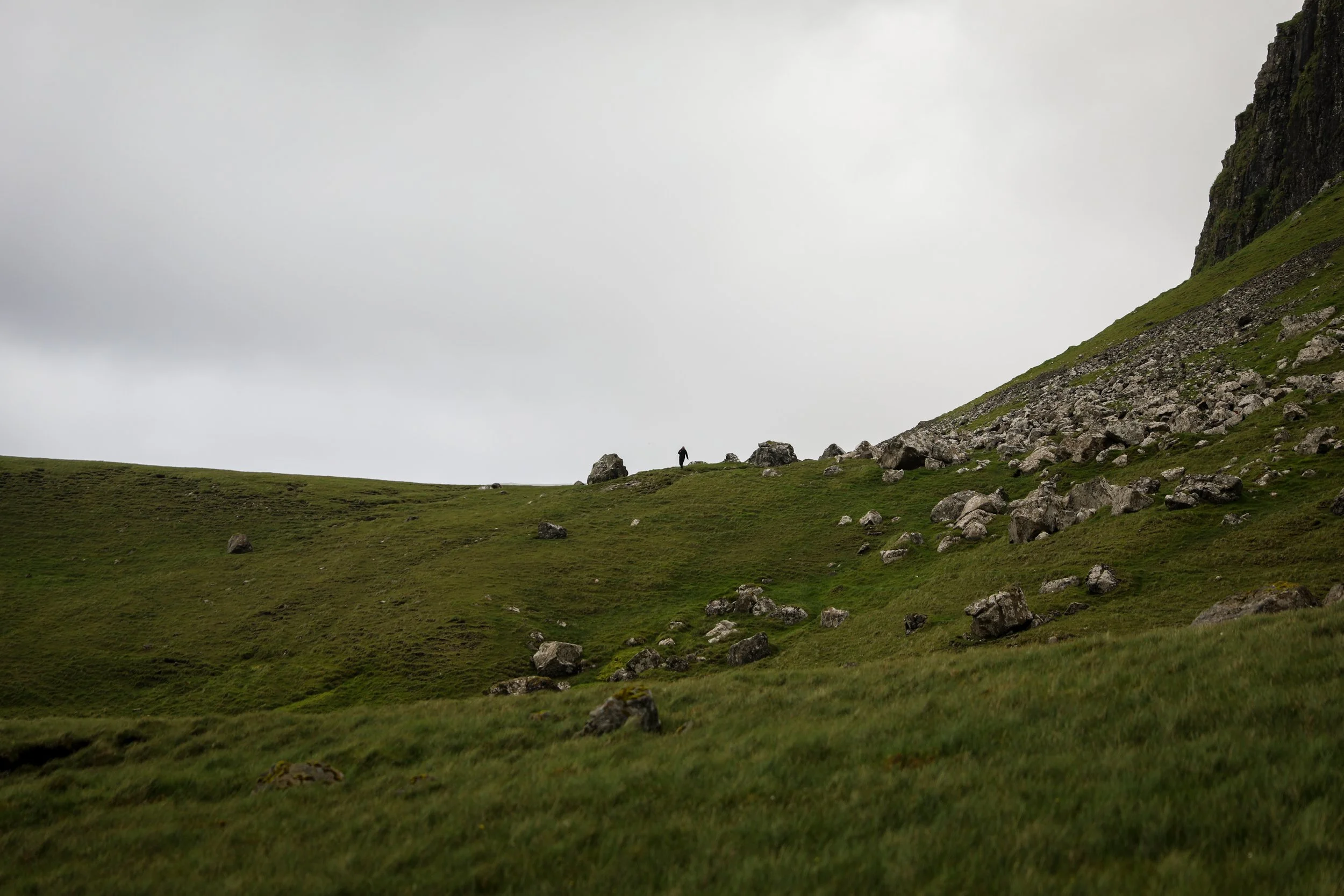
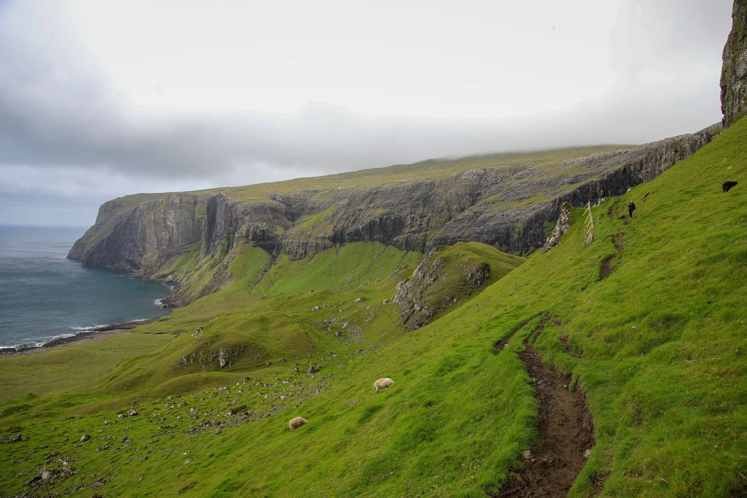
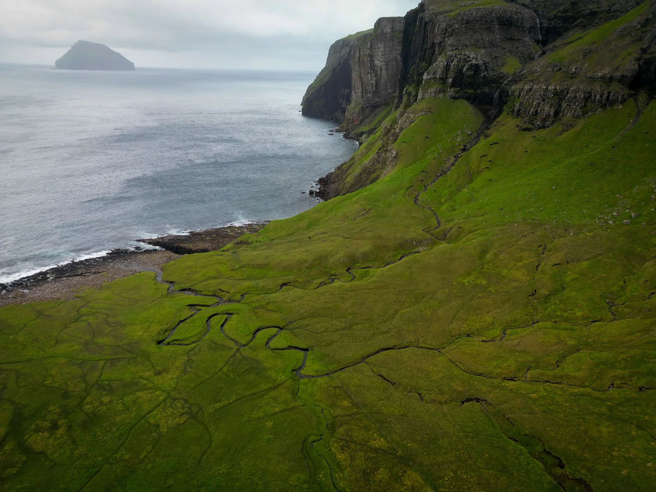
Lítla Dímun view along Hvannhagi Hike
Where to Next
Mylingur Sea Cliff Hike: After arriving back on the Streymoy, a 50 minute drive away from Tórshavn is the town of Saksun, from here you are able to take on the Mylingur Sea Cliff Hike. The trail is steep and exposed in sections, following dramatic cliff edges above the North Atlantic toward one of the Faroe Islands’ most striking viewpoints.
Saksun Church and the Black Sand Beach: If you are heading to Saksun you can also visit the Saksun Church and the Black Sand Beach both set within one of the Faroe Islands’ most picturesque and secluded landscapes.
Related Posts:
Perched above the village of Funningur on Eysturoy, the Hvíthamar hike is one of the Faroe Islands’ most accessible yet rewarding walks. The trail gently climbs to a viewpoint overlooking the fjord, with wide-open mountain scenery unfolding at every turn. It’s the kind of short hike that delivers big views, making it a perfect stop for travellers wanting a taste of Faroese hiking without a full-day commitment.