
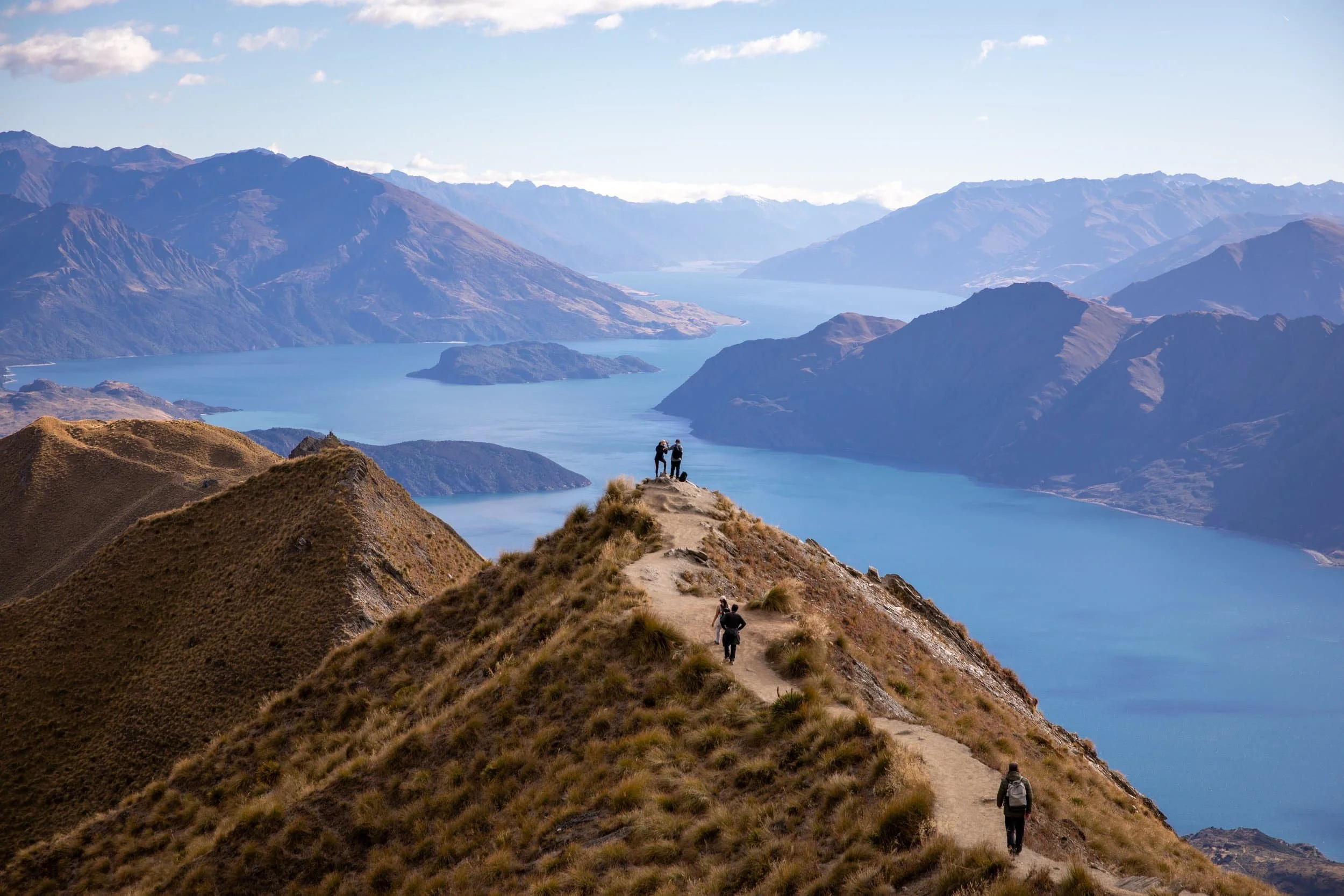
Does the Roys Peak Hike really live up to the hype?
After seeing countless photos of the famous ridgeline overlooking Lake Wānaka, this was one hike I knew I wanted to experience for myself. But having now completed it, I'm not entirely convinced the hike itself deserves its reputation, even if the famous viewpoint certainly does.
Located near Wānaka, the trail climbs steeply through open farmland towards one of New Zealand’s most iconic viewpoints, with sweeping views of Lake Wānaka, Mount Aspiring National Park and the Southern Alps.
While the scenery is impressive, the climb is long, repetitive and relentlessly uphill, with little variation in the terrain. The views from the top are undoubtedly spectacular, but whether they're worth the effort is another question.
In this guide, I'll share our experience hiking Roys Peak, including trail details, difficulty, hiking times, a route map and whether I think it's actually worth doing.
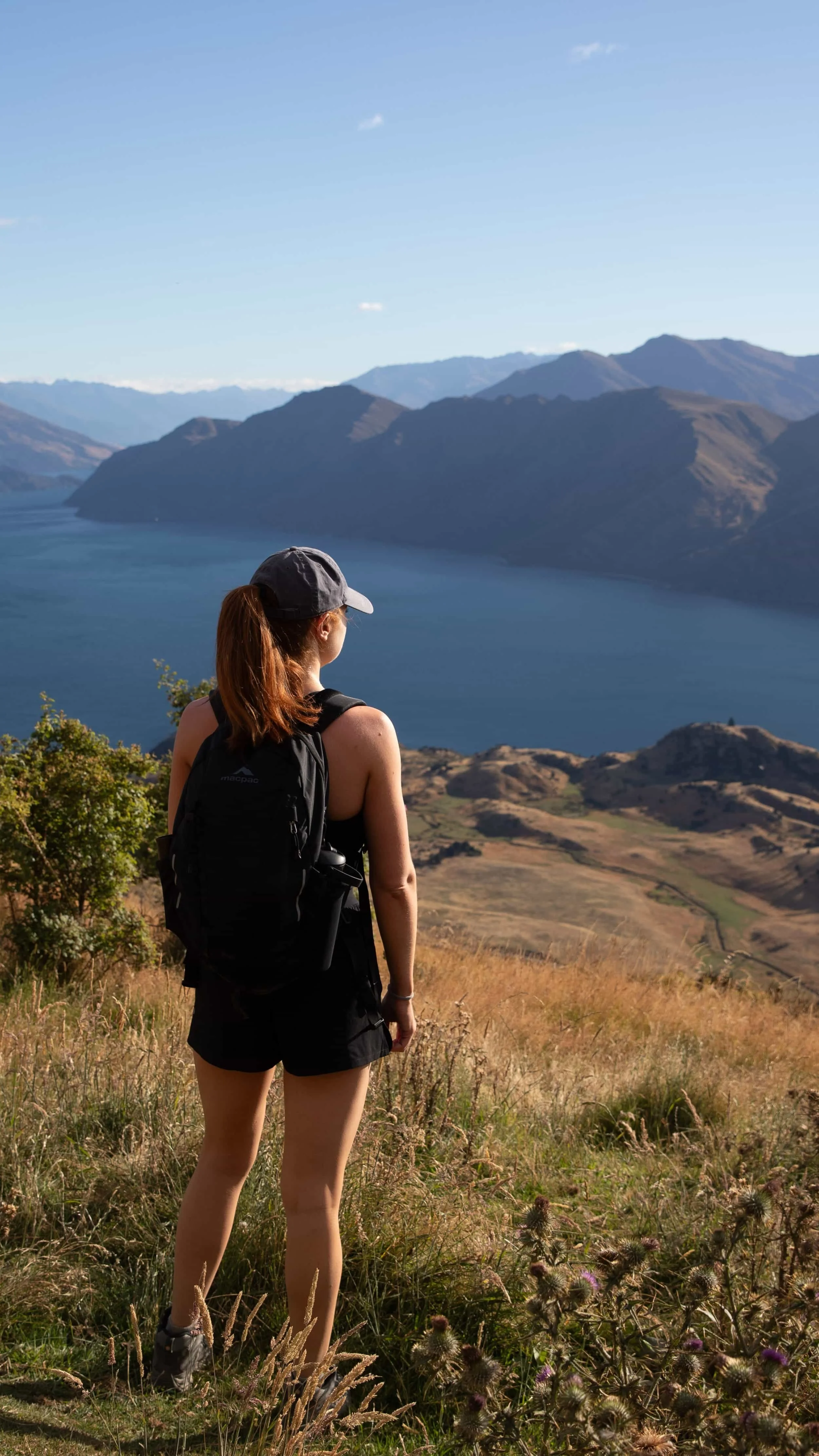
Roys Peak Hike Overview
Trailhead: Visible pathway up from the carpark area | Google Maps
Parking: Parking is free | Google Maps
Total Hiking Distance: 16 km | out and back
Total Hiking Duration: 6 hour hike | return
Difficulty: Hard
Altitude: 1,578 meters above sea level
Price: The trail is free
Highlights: Views over Lake Wānaka, the surrounding valleys, and the jagged peaks of Mount Aspiring National Park.
Where is the Roys Peak Hike?
The Roys Peak Hike is located just outside Wānaka, in the Otago region of New Zealand's South Island. The trail climbs the slopes of Roys Peak, a mountain rising approximately 1,578 metres above sea level, overlooking Lake Wānaka and the surrounding Southern Alps.
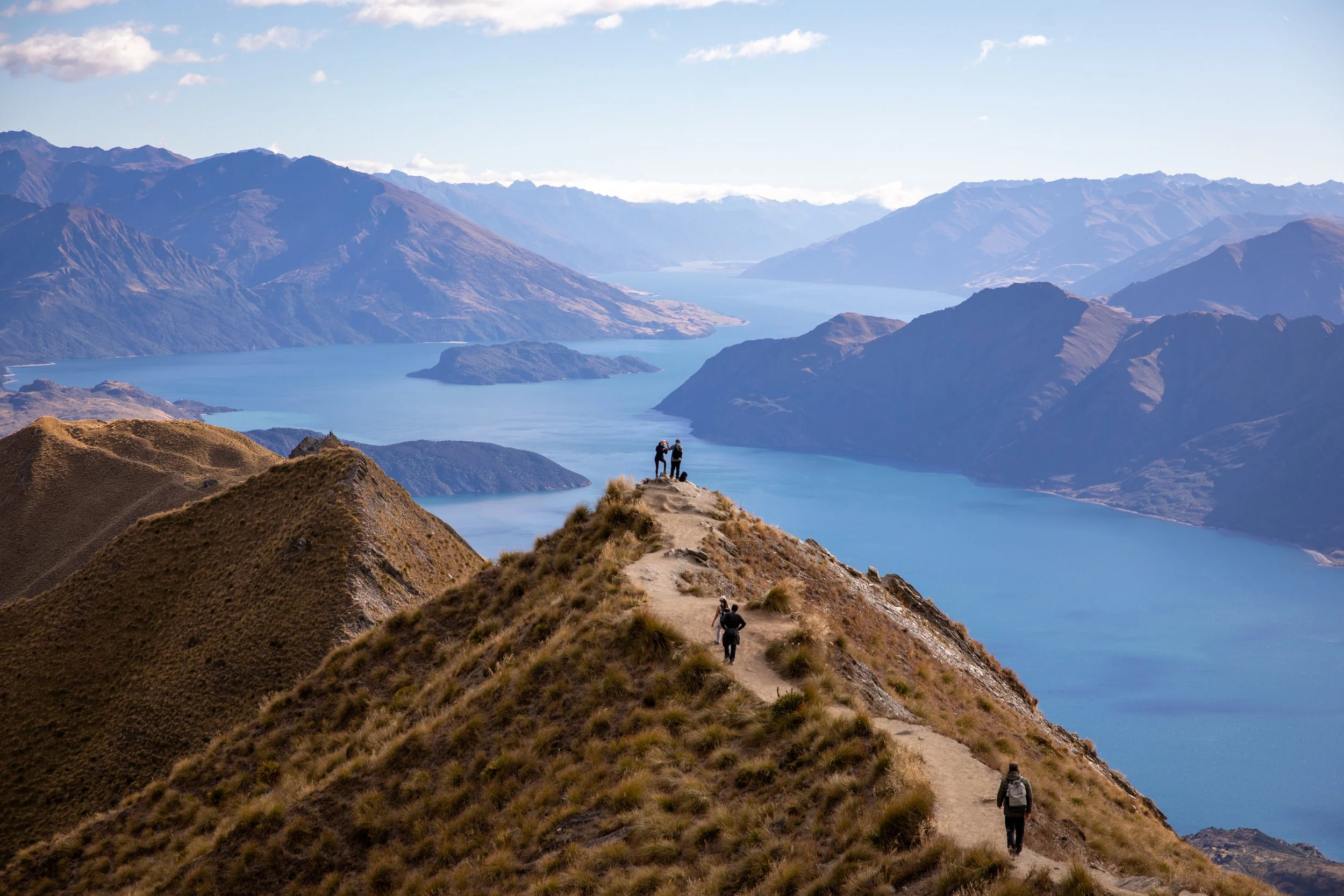
The hike is particularly famous for its ridgeline viewpoint, where a narrow grassy ridge stretches towards the lake, creating one of the most photographed landscapes in New Zealand. Although most visitors come for this iconic photo, the trail continues beyond the viewpoint to the summit of Roys Peak, offering even more expansive views across Lake Wānaka, Mount Aspiring National Park and the surrounding mountains.
One thing that surprised me was just how close the hike is to Wānaka itself. The trailhead is only around 6 kilometres from the town centre, making it incredibly accessible compared to many other alpine hikes in New Zealand. It's an easy addition to a Wānaka itinerary, although the hike itself is considerably more demanding than the short drive might suggest.
Roys Peak Hike Trailhead
The Roys Peak Track begins at a dedicated car park along Mount Aspiring Road. The trailhead is easily accessible by car, with the journey taking around 10 minutes from town.
From the car park, pass through the farm gate and follow the clearly marked track uphill. The route begins climbing almost immediately, following a series of long switchbacks through open farmland towards the famous Roys Peak viewpoint and summit.
Roys Peak Trailhead: Follow signs from the carpark | Google Maps
New Zealand Highlights:

How to Get to Wanaka
The first step to completing the Roys Peak Hike is getting to Wānaka, a picturesque lakeside town in the Otago region of New Zealand's South Island. Wānaka is approximately 70 kilometres from Queenstown and 430 kilometres from Christchurch, taking around 1–1.5 hours and 5–6 hours to drive, respectively.
The easiest way to reach Wānaka is by hire car, although regional bus and shuttle services also connect the town with Queenstown and other destinations. Once you arrive in Wānaka, the Roys Peak trailhead is just a 10-minute drive from the town centre.
Alternatively, you can reach Wānaka without hiring a car, with some operators offering regional transport connections. However, having your own vehicle is considerably more convenient for reaching the trailhead and exploring the surrounding region.
Hire Car: Self-Drive from Queenstown
Driving is the easiest way to reach Wānaka from Queenstown, giving you the flexibility to explore the region at your own pace. You can hire a car from Queenstown Airport or the town centre, with plenty of rental companies available. The journey takes approximately 1–1.5 hours along sealed roads, making it suitable for a standard 2WD hire car.
There are two main driving routes between Queenstown and Wānaka. The shorter and more scenic option follows the Crown Range Road, climbing through the mountains with incredible views over the surrounding valleys. Alternatively, you can travel via Cromwell, which is slightly longer but avoids the steep mountain pass.
I'd recommend taking the Crown Range Road if conditions are suitable, as the scenery is spectacular and there are several viewpoints worth stopping at along the way. However, during winter, snow and ice can affect the road, so check conditions before setting off.
The journey details are:
Distance: Approximately 70 km via Crown Range Road
Drive time: Around 1–1.5 hours
Roads: Fully sealed, suitable for 2WD vehicles in good conditions, although snow chains may be required during winter
How to Get to the Roys Peak Hike Trailhead
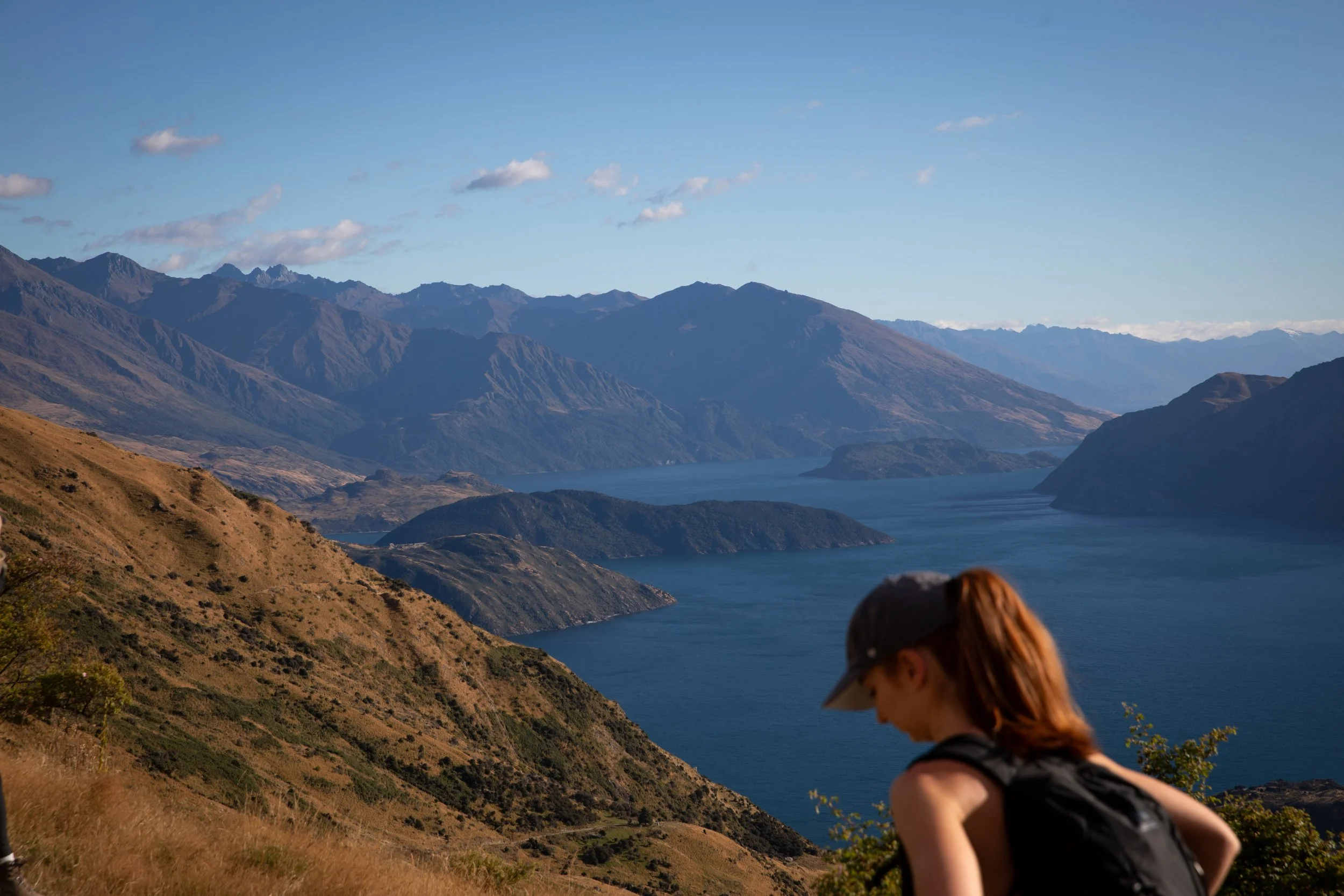
Once you've reached Wānaka, the next step is getting to the Roys Peak Track car park, where the hike begins. The trailhead is approximately 6 kilometres from the town centre, and you can reach it by car, shuttle or on foot. Here's how each option works.
Self-Drive from Wanaka
Driving from Wānaka to the Roys Peak trailhead takes approximately 10 minutes. The car park is located along Mount Aspiring Road, just west of town, and is easily accessible via a fully sealed road suitable for a standard 2WD vehicle.
If you've already hired a car to explore New Zealand's South Island, driving yourself to the trailhead is by far the easiest option. It gives you the flexibility to start early, avoid the busiest periods and return to your accommodation whenever you finish the hike.
Where to Park
There is a designated parking area at the trailhead, with public toilets available.
Parking at Roys Peak is free, although the car park can fill up quickly, particularly during summer and on weekends. We found this when we got there around 8:30AM with many people already there having gotten up for sunrise. I'd recommend arriving early, especially if you're hoping to reach the famous viewpoint before the crowds.
If the car park is full, only park in designated areas where parking is permitted. Avoid blocking farm entrances, access gates or the main road.
Free Parking: location | Google Maps
Roys Peak Hike Map
The map below shows the Roys Peak Hike route, starting from the car park along Mount Aspiring Road, just outside Wānaka. The trail climbs steadily through open farmland towards the famous Roys Peak viewpoint, before continuing along the ridgeline to the summit.
Where to Stay for the Roys Peak Hike
Wānaka is the ideal base for hiking Roys Peak, with the trailhead just a 10-minute drive from the town centre. Set along the shores of Lake Wānaka, the town has a relaxed atmosphere, a great selection of cafés and restaurants, and plenty to explore when you're not out hiking.
One of the things I loved most about Wānaka was that it's a destination worth visiting in its own right, rather than simply somewhere to spend the night before a hike. I'd recommend allowing at least two or three nights here, giving you time to explore the lakefront, enjoy the town and tackle other nearby trails or activities such as kayaking and paddleboarding.
Accommodation ranges from lakeside hotels and boutique lodges to affordable motels, apartments and entire holiday homes. Staying near the lakefront is particularly convenient for restaurants and shops, while properties further from the centre can offer more space and privacy. Prices tend to rise during summer, so booking ahead is worthwhile.
Best Places to stay in Wānaka
For the most convenient stay, I'd recommend choosing accommodation within walking distance of Wānaka's lakefront and town centre.
The best places to stay in Wānaka are:
Club Wyndham Wanaka- A comfortable resort in a quiet part of Wānaka, just a short walk from Lake Wānaka. It offers spacious studios and apartments with kitchen facilities, plus a heated swimming pool, outdoor hot tub, sauna and fitness room. It's a great option for couples and families wanting resort-style facilities and somewhere to relax after a long day hiking.
Clearbrook Motel and Serviced Apartments - A modern motel in central Wānaka, just a short walk from the lakefront, restaurants and shops. It offers spacious, self-contained apartments with fully equipped kitchens, laundry facilities, private balconies or patios and mountain views. With free parking and an excellent location, it's a convenient choice for hikers wanting everything within walking distance.
Marina Terrace Apartments - A luxurious lakeside property offering modern studios and spacious apartments with spectacular views over Lake Wānaka and the Southern Alps. Guests have access to an indoor heated swimming pool, spa and gym, while the town centre is just a short walk away. It's a more expensive option, but ideal if you're looking for something special with incredible lake views.
When to Hike Roys Peak
The best time to complete the Roys Peak Hike is from November to April, during New Zealand's warmer months, when the trail is generally free of snow and conditions are more suitable for hiking. These months offer longer daylight hours, warmer temperatures and the best chance of clear views over Lake Wānaka and the Southern Alps.
December to February are the busiest months, so if you're looking for fewer people, consider visiting in March or April. Keep in mind that the Roys Peak Track typically closes from 1 October to 10 November for lambing season. We visited in March and had excellent hiking conditions, so I'd highly recommend this time of year.
My biggest recommendation would be to start as early as possible, ideally around sunrise. The trail is almost entirely exposed, with very little shade, and the long climb can become exhausting in the midday heat. You'll also have a better chance of enjoying the famous viewpoint without the crowds, which makes a huge difference when you've come all this way for the scenery.
I'd also plan your hike around the weather rather than sticking to a particular day. The views from Roys Peak are undoubtedly the highlight and the main merit for doing the hike in the first place, and I personally wouldn't want to tackle such a long, repetitive climb only to find the summit covered in cloud. If you have a few days in Wānaka, save the hike for the clearest forecast.
What is the Roys Peak Hike Like?
The Roys Peak Hike begins from the car park and almost immediately starts climbing through open farmland, following a wide gravel track that winds its way up the mountainside in a series of long switchbacks. There isn't much of a warm-up, and you'll quickly realise just how much climbing lies ahead.
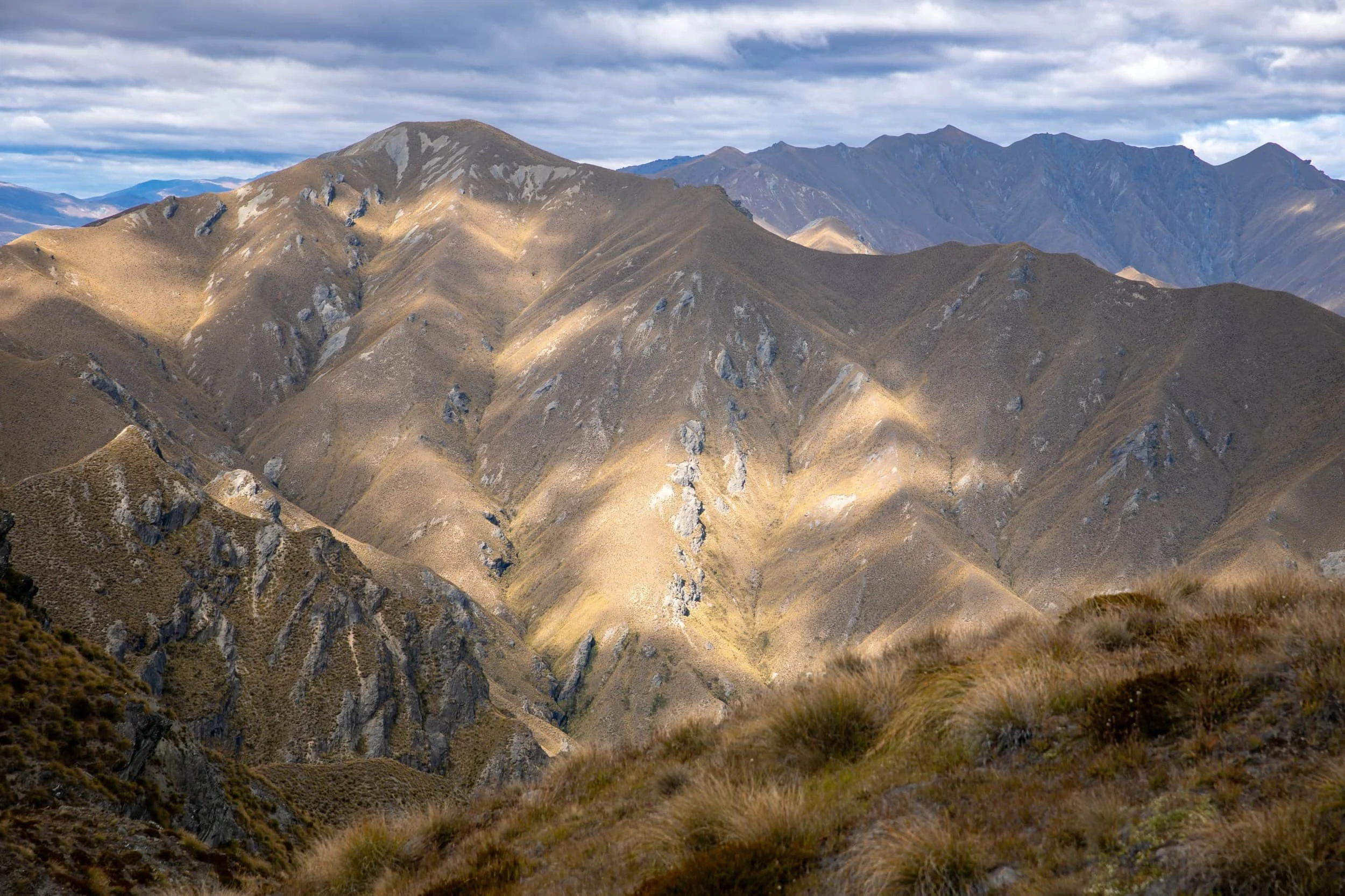
As you gain elevation, the views over Lake Wānaka and the surrounding mountains gradually open up. The trail itself doesn't change much, continuing uphill through grassy slopes with very little shade or shelter. While the scenery is impressive, I found the repetitive nature of the climb a little monotonous, particularly compared to some of the other hikes we completed in New Zealand.
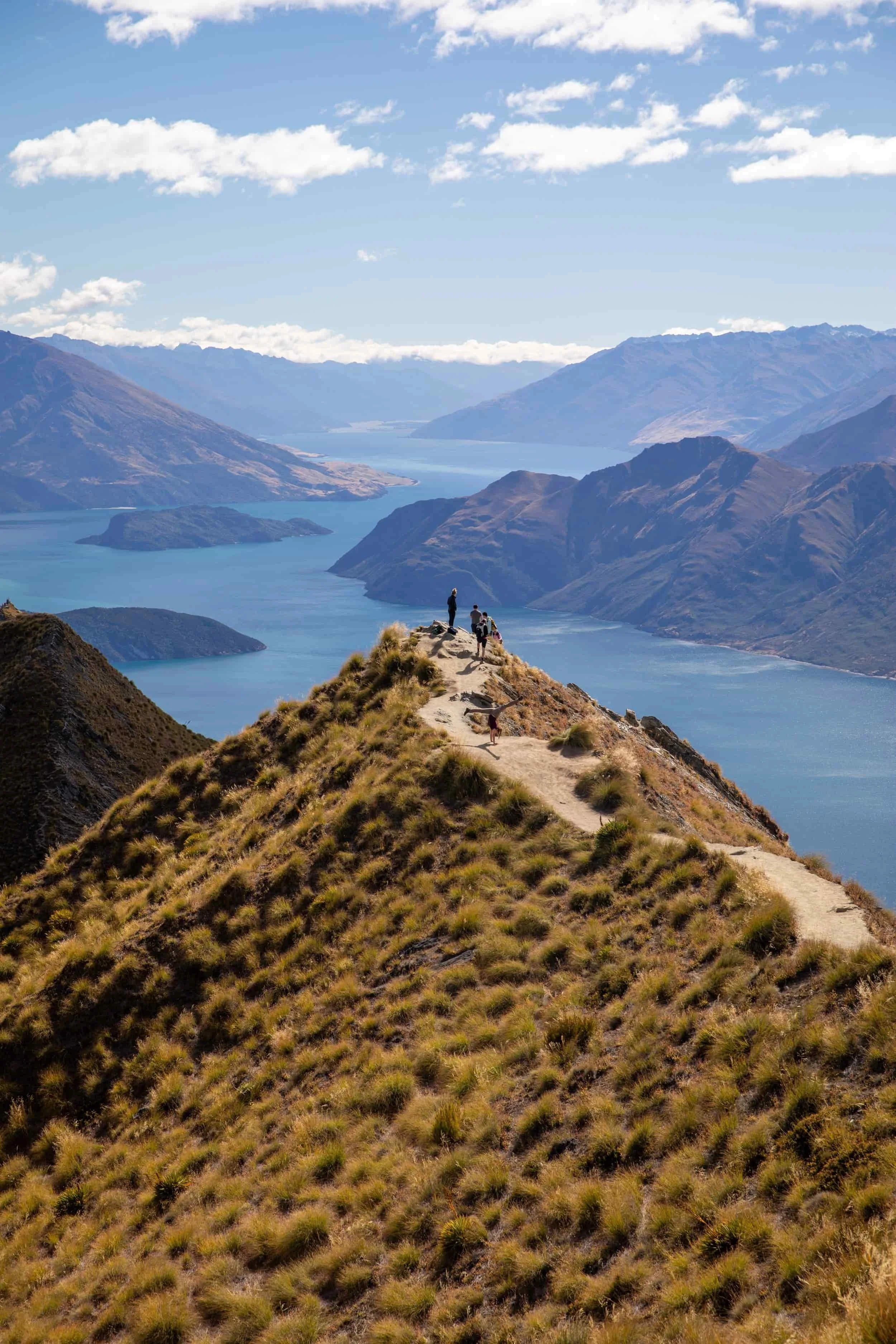
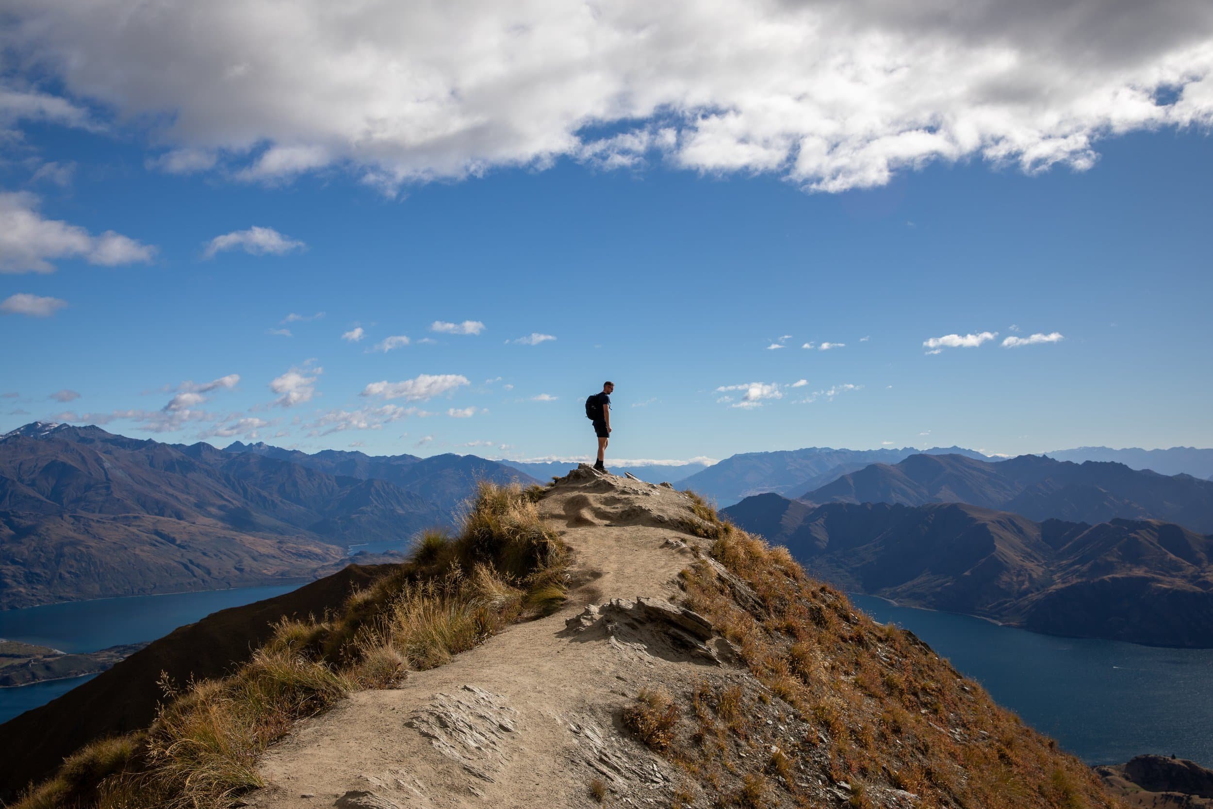
After several hours of climbing, you'll eventually reach the famous Roys Peak viewpoint, where a narrow grassy ridgeline stretches out above Lake Wānaka. This is the iconic photo spot you've probably seen all over social media, and I have to admit, the view really is spectacular. However, it's worth knowing that this viewpoint isn't actually the summit, and you'll often find other hikers waiting to take the same photograph.
From the viewpoint, the trail continues climbing for approximately another 30–45 minutes to the summit of Roys Peak, standing at around 1,578 metres above sea level. The summit offers even wider views across Lake Wānaka, Mount Aspiring National Park and the Southern Alps before you return along the same route to the car park.
How Difficult is the Hike?
The Roys Peak Hike is challenging, mainly because of the relentless uphill climb.
The trail covers approximately 16 kilometres return with around 1,200–1,300 metres of elevation gain. Unlike some alpine hikes with rocky scrambles or technical sections, Roys Peak follows a relatively straightforward gravel and dirt track. However, the sustained incline makes it physically demanding, particularly if you're not used to long uphill hikes.
The biggest challenge is that the trail rarely levels out, meaning your legs get very little opportunity to recover. The descent can also be tiring on the knees, especially after spending several hours climbing.
You don't generally need technical hiking skills in suitable summer conditions, but a good level of fitness and comfortable hiking shoes are strongly recommended. Snow and ice can make the upper sections considerably more dangerous outside the warmer months.
How Long Does it Take?
The Roys Peak Hike typically takes around 5–7 hours return, depending on your fitness, how frequently you stop and whether you continue beyond the famous viewpoint to the summit.
I'd recommend allowing most of the day for the hike, particularly if you want to enjoy the scenery and take photos along the way. The climb can feel surprisingly long, and you don't want to rush once you've finally reached the viewpoint.
If you're mainly interested in getting the iconic Roys Peak photograph, you can turn around at the viewpoint rather than continuing to the summit, saving yourself some additional climbing.
What to Wear and Bring
Comfortable hiking shoes or trail runners with good grip are suitable for Roys Peak in dry summer conditions. The track is generally wide and well-defined, although loose gravel and steep sections can make the descent slippery. Hiking poles aren’t really necessary apart from taking some strain off of your knees during the long downhill walk.
My biggest recommendation is to prepare for the sun and heat. The trail is almost entirely exposed, with very little shade, and the sustained climb can become exhausting during warmer weather. Bring plenty of water, sunscreen, sunglasses and a hat, particularly if you're hiking during summer. I didn’t follow this advice and ended up getting pretty sunburnt, a rookie mistake.
I'd also recommend carrying a warm layer and lightweight waterproof jacket, even if the weather looks perfect when you leave Wānaka. The summit is much higher and more exposed than the town, and conditions can change quickly.
Finally, bring enough food and water for the entire hike, as there are no places to purchase supplies along the trail. Pack some snacks and lunch so you can take a proper break at the viewpoint or summit before beginning the long descent.
Is Hiking Roys Peak Worth it?
Yes, but with some reservations. The views from Roys Peak are undoubtedly spectacular, although I'm not entirely convinced the hike itself deserves all the hype it receives.
There's no denying that the famous Roys Peak viewpoint is one of the most impressive in New Zealand. The narrow grassy ridgeline overlooking Lake Wānaka, with the Southern Alps stretching into the distance, really is as beautiful as the photos suggest.
However, the hike itself is a different story. Unlike some of the other alpine trails we've completed in New Zealand, Roys Peak involves a long, repetitive climb up a winding farm track, with relatively little variation in the terrain. While the views improve as you gain elevation, I found the journey to the top considerably less enjoyable than the destination itself.
I do have to say if I were comparing Roys Peak to the Mueller Hut Route in Mount Cook National Park, I'd choose Mueller Hut every time. Both hikes require a similar amount of time and effort, but Mueller Hut offers far more varied terrain and incredible mountain scenery almost the entire way. For me, Mueller Hut is the more rewarding hiking experience, even if the famous Roys Peak viewpoint is spectacular in its own right.
Would I recommend hiking Roys Peak? Absolutely, particularly if you're visiting Wānaka for the first time. The viewpoint is iconic for a reason, and it's an incredible place to experience in person. Just be prepared for a demanding climb that, in my opinion, isn't quite as memorable as the scenery waiting at the top.
Our Experience of the Roys Peak Hike
We started around 8:30 am from the already overflowing Roys Peak car park, setting off along the winding farm track that climbs steadily above Lake Wānaka. The trail begins heading uphill almost immediately, and it doesn't take long to realise just how much climbing lies ahead.
As we gained elevation, the views over Lake Wānaka and the surrounding mountains became increasingly impressive. However, the trail itself was fairly monotonous, following what felt like endless switchbacks through open grassland. There wasn't much to break up the climb, and we found ourselves focusing more on reaching the viewpoint than enjoying the trail.
Eventually, we reached the famous Roys Peak viewpoint, and I have to admit, it really is as spectacular as everyone says. The narrow ridgeline stretching towards Lake Wānaka, with the surrounding mountains rising in the distance, was absolutely incredible. It's one of those views you've seen countless times in photographs, but experiencing it in person is something else entirely.
We spent some time here taking photos and enjoying the scenery. Unsurprisingly, there were plenty of other hikers wanting the same iconic photograph, so it wasn't quite the peaceful mountain experience you might hope for. Nevertheless, I can understand why this spot has become so popular.
From the viewpoint, the trail continues towards the summit of Roys Peak, where the scenery opens up even further across Lake Wānaka and the Southern Alps. The surrounding landscape is beautiful, although for me, the famous ridgeline viewpoint was undoubtedly the highlight of the hike.
The return journey followed the same winding track back down the mountain. I'm not going to lie, the descent felt almost as repetitive as the climb, and by the time we reached the car park, we were definitely ready to be finished.
Overall, I'm glad we completed the Roys Peak Hike, even if it wasn't one of my favourite hiking experiences in New Zealand. The famous viewpoint alone makes it worth considering, and I'm certainly glad we got to see it for ourselves. However, with such a long and repetitive climb, I'd recommend going into it for the incredible views rather than expecting an especially exciting trail. The destination is undoubtedly the highlight of this one.
Related Posts:
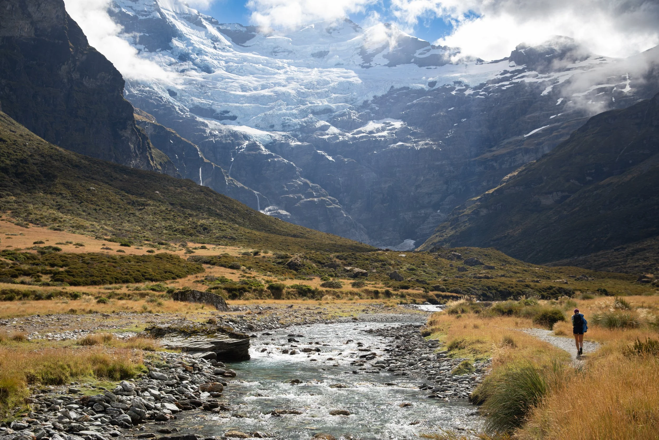
Looking for one of New Zealand's most spectacular hikes away from the crowds? The Earnslaw Burn Track near Glenorchy follows a remote river valley through dense native forest before opening into a dramatic alpine landscape surrounded by towering mountains, cascading waterfalls and the impressive Earnslaw Glacier. This guide covers everything you need to plan your hike, including trail details, difficulty, hiking times, a route map and essential tips for exploring this incredible part of New Zealand's Southern Alps.