Guide to Hiking the Roy's Peak Track, Wānaka, New Zealand
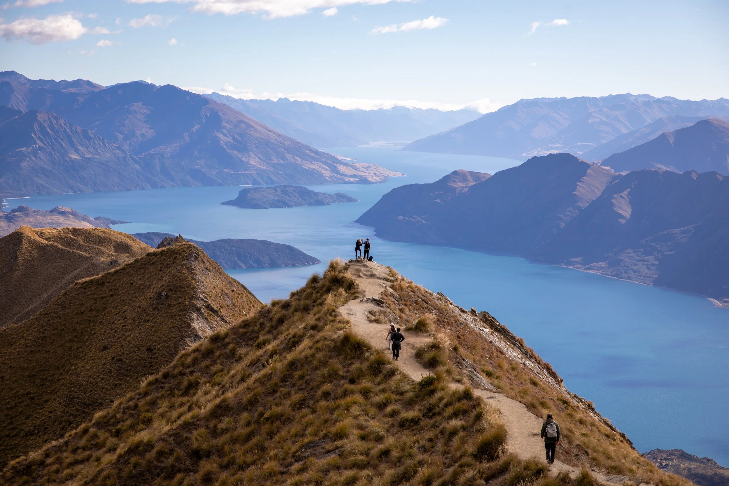
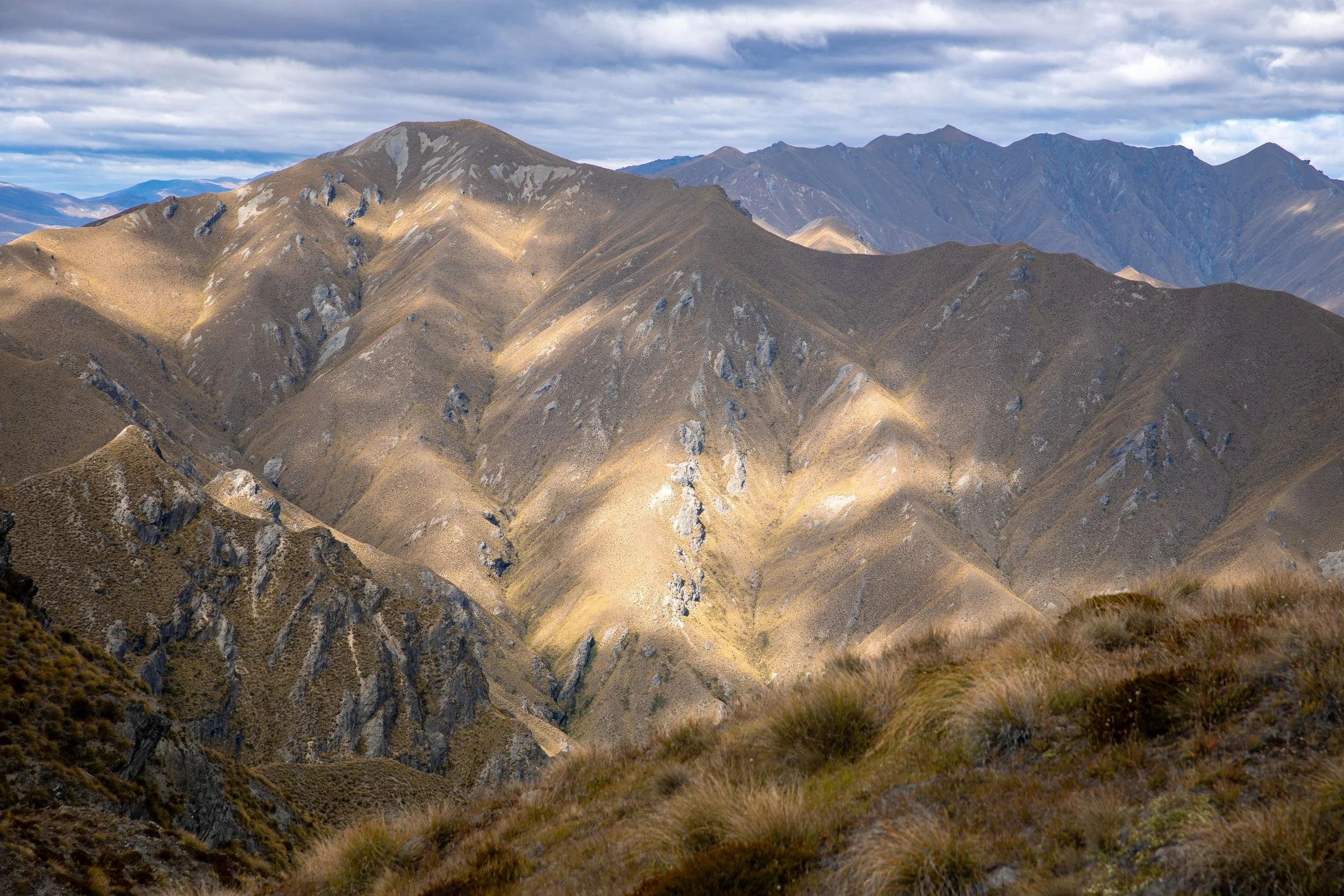
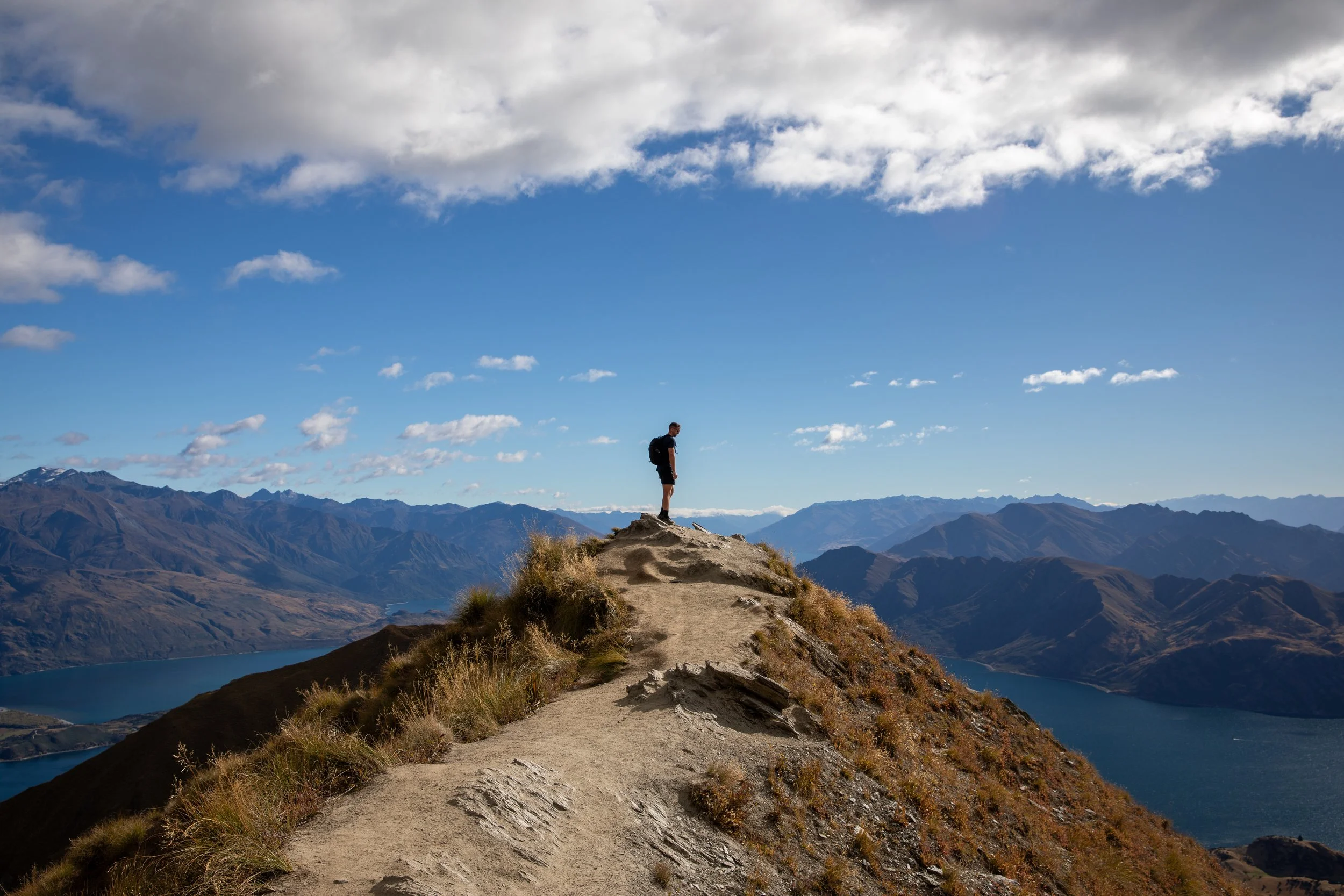
The Roys Peak Track is a spectacular ridgeline hike near Wānaka, climbing high above Lake Wānaka into the heart of the Southern Alps. The trail follows a steady, exposed ascent along open farmland and rolling ridgelines, revealing sweeping views of the lake, surrounding valleys, and the jagged peaks of Mount Aspiring National Park. With its relentless climb, expansive alpine scenery, and ever-changing light, this unforgettable hike showcases the wide-open beauty of New Zealand’s South Island up close.
Roys Peak Hiking
Hike Overview and Map
Trailhead: Visible pathway up from the carpark area | Google Maps
Parking: Parking is free | Google Maps
Total Hiking Distance: 16 km | out and back
Total Hiking Duration: 6 hour hike | return
Difficulty: Hard
Altitude: 1,578 meters above sea level
Price: The trail is free
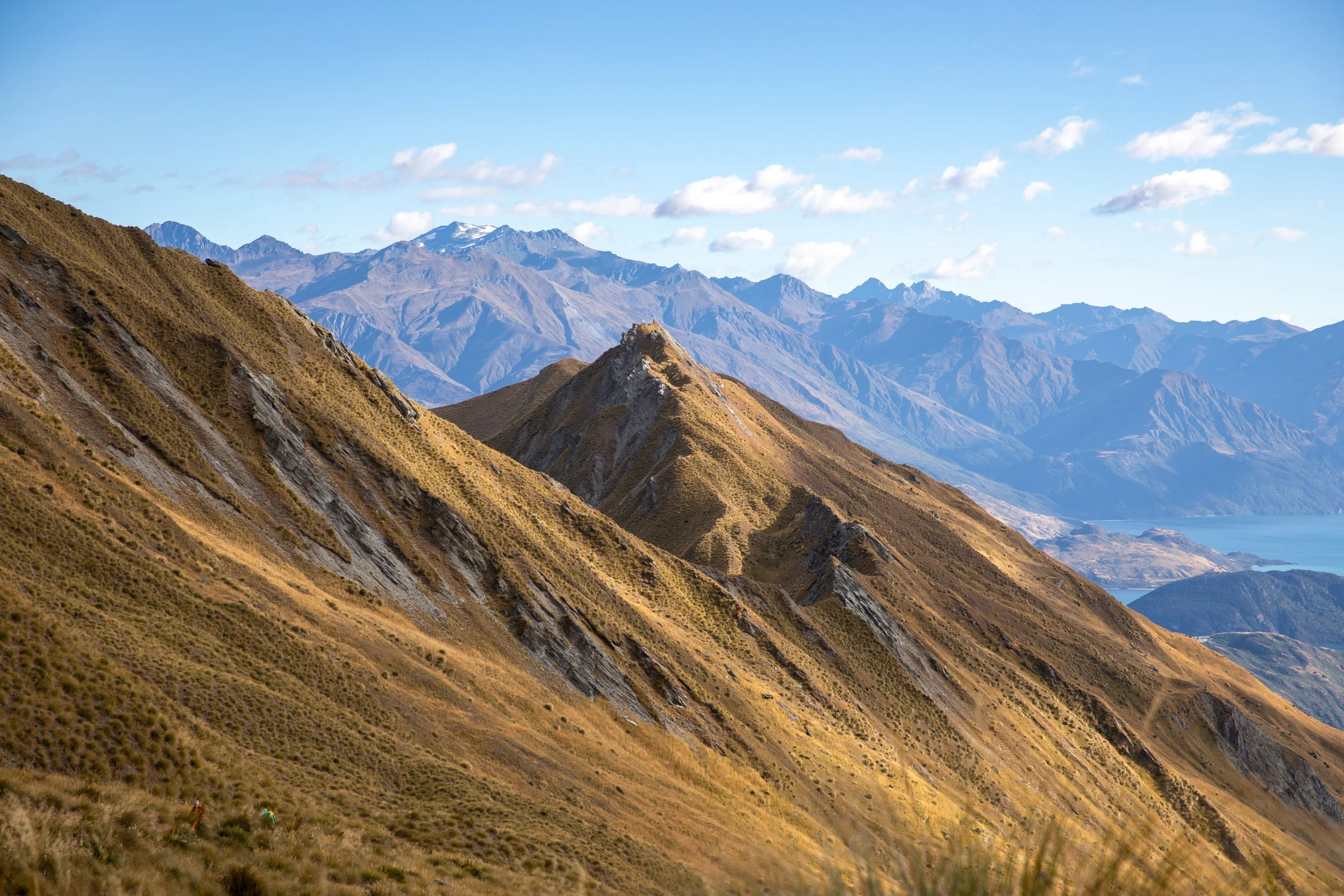
Highlights: Views over Lake Wānaka, the surrounding valleys, and the jagged peaks of Mount Aspiring National Park.
Getting There
From Wanaka:
Hire Car
The best way to get around the south island is by hiring a car or campervan in Christchurch or Queenstown
From Wanaka the roads are well surfaced the entire way so a 2WD is fine for the journey to the start of the hike
The total distance is around 8 km one-way to the start of the hike from Wanaka, taking approximately 10 minutes to drive
Roy’s Peak
General Tips
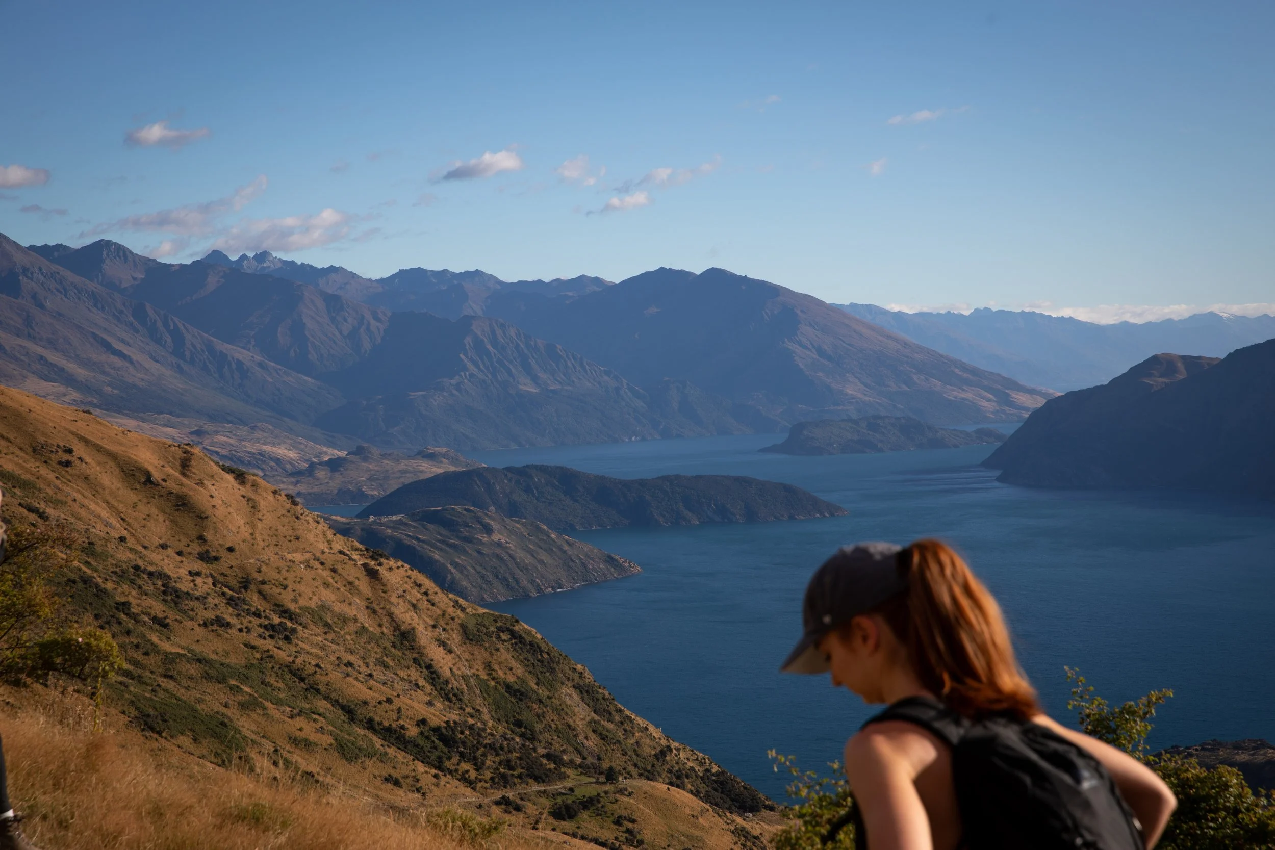
The hike is extremely popular as a sunrise or sunset option due to the often low clouds and incredible lighting.
The track is clearly demarcated and consists of a wide gravel pathway, making it easily navigatable even in the dark.
The carpark can get full very early in the day but luckily there is also an overflow section as a back up option.
I would suggest wearing sturdy waterproof footwear such as hiking boots, as the trail consists of a lot of loose rock and potentially muddy sections following rainfall.
Ensure you take enough food and water for the duration of the journey as there are no facilities available throughout the hike.
Take care at viewpoints, as many are exposed with steep drop-offs and often have no barriers or protective measures in place.
The weather in New Zealand’s mountainous areas can be highly unpredictable, so it’s important to always check conditions before setting out and be prepared for rapid changes at any time.
Be sure to pack a waterproof rain jacket and a warm base layer, as temperatures drop quickly with elevation and conditions can turn cold and exposed near the top.
Roys Peak Hike
Where to Next
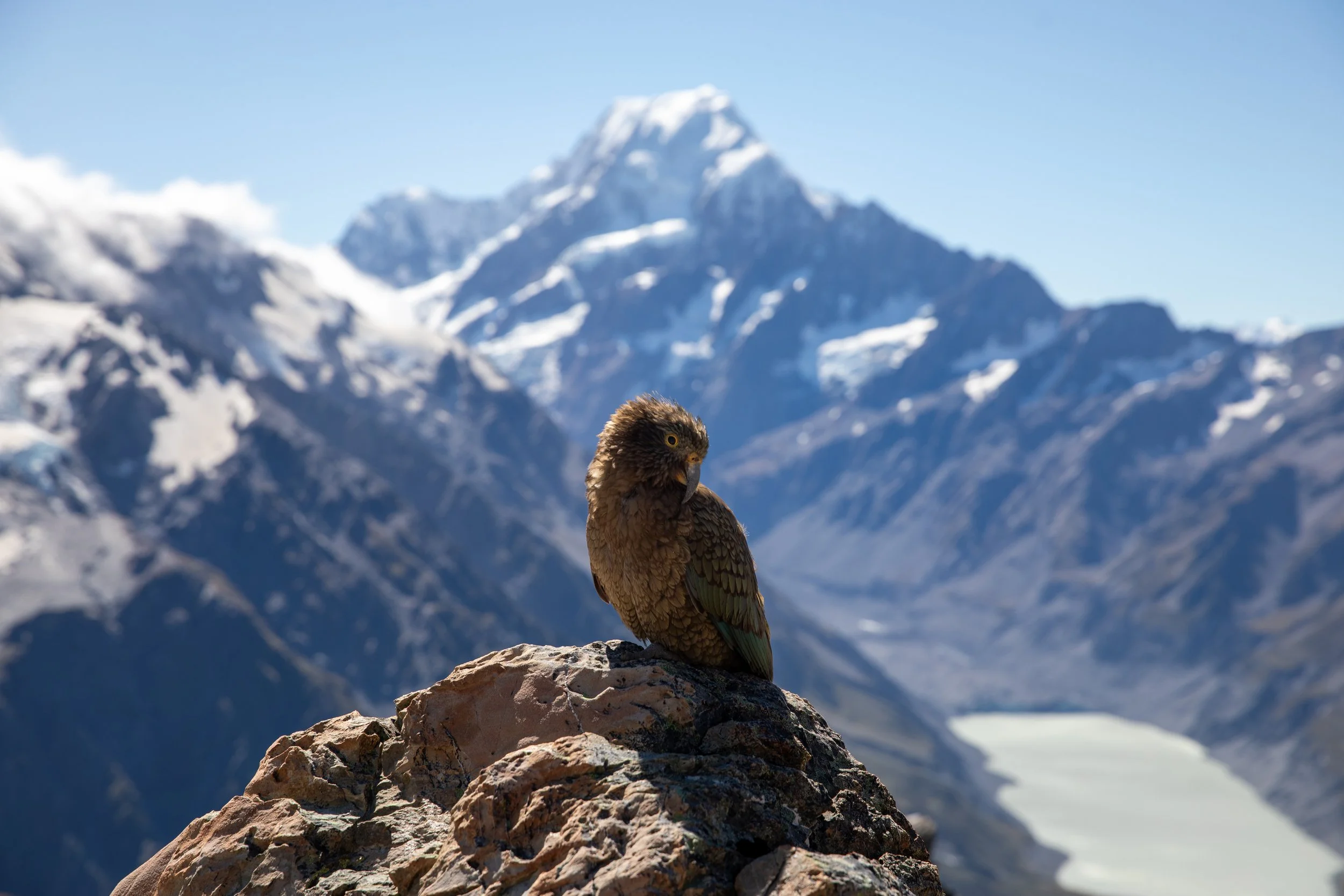
Mueller Hut Route: A challenging alpine hike in Mount Cook National Park, located approximately 3 hours drive away from Wānaka. Starting with the steep ascent to Sealy Tarns, the Mueller Hut Route continues onto exposed ridgelines with incredible views over glaciers and Aoraki / Mount Cook.
Related Posts:
The Roys Peak Track is one of New Zealand’s most iconic hikes, rising high above Lake Wānaka with uninterrupted views the entire way. This steady but relentless climb follows a winding farm track up open ridgelines, gradually revealing sweeping panoramas of the lake, surrounding valleys, and the jagged peaks of Mount Aspiring National Park. As you ascend, the ever-expanding views and golden tussock landscapes create a classic South Island hiking experience, culminating at the summit with one of the most photographed viewpoints in New Zealand.