Guide to Hiking the Bakkanosi Ridge, Vestland, Norway
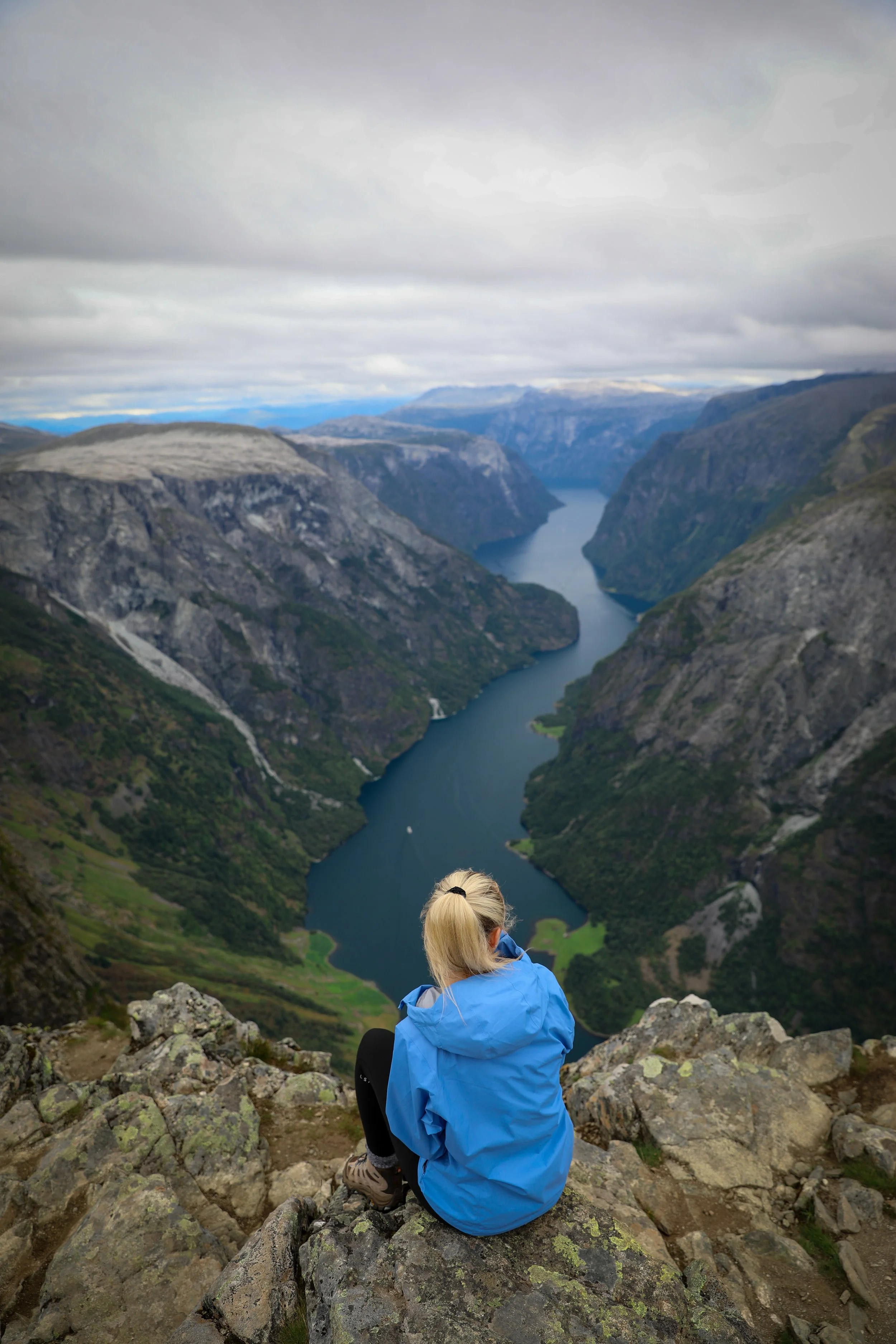
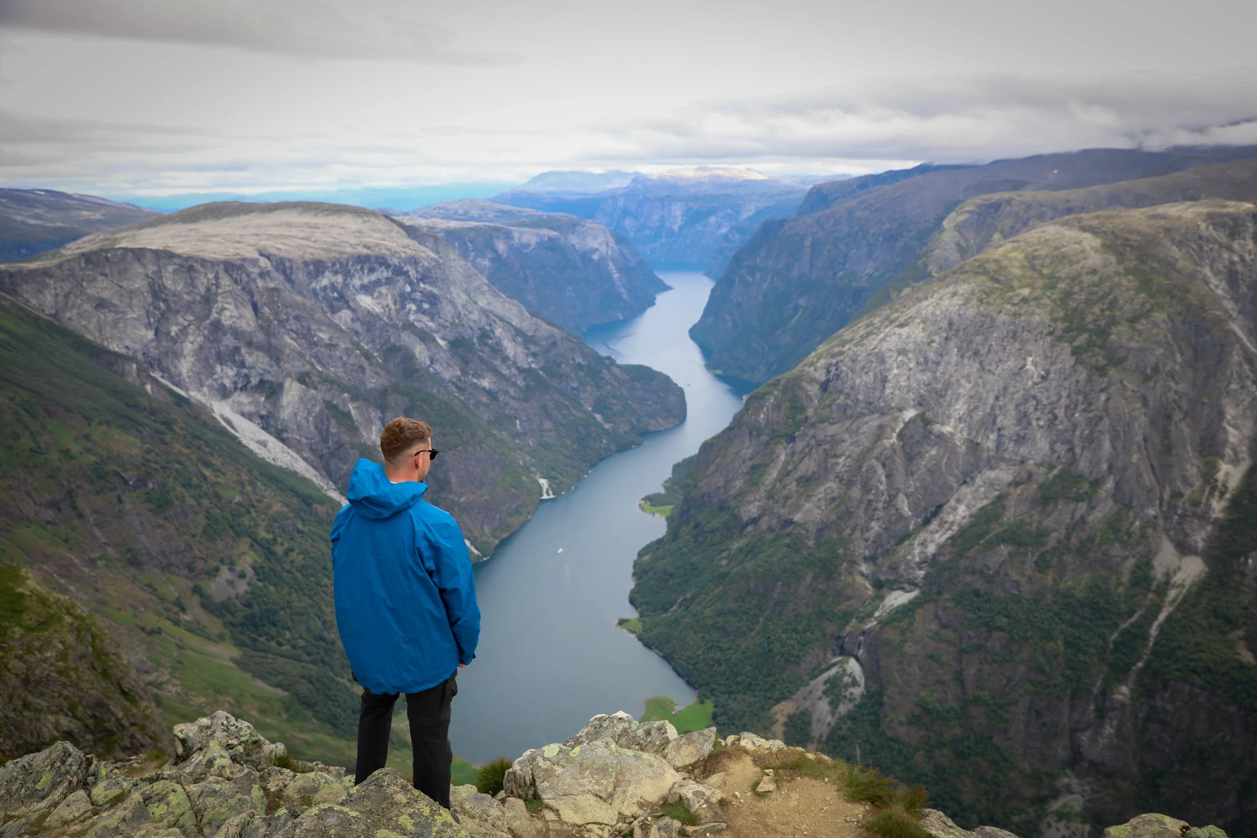
Bakkanosi Ridge rises high above Nærøyfjorden in Vestland, offering one of the most spectacular viewpoints in Western Norway. The trail climbs from quiet valley farmland above the village of Bakka to an exposed ridgeline where dramatic cliffs plunge toward the fjord far below. From the summit, sweeping views stretch across cascading waterfalls, steep mountain walls, and the deep blue waters winding through the heart of the fjord landscape.
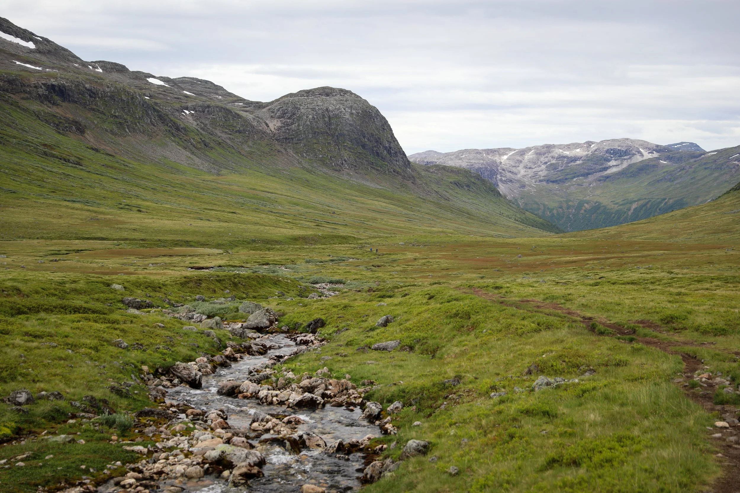
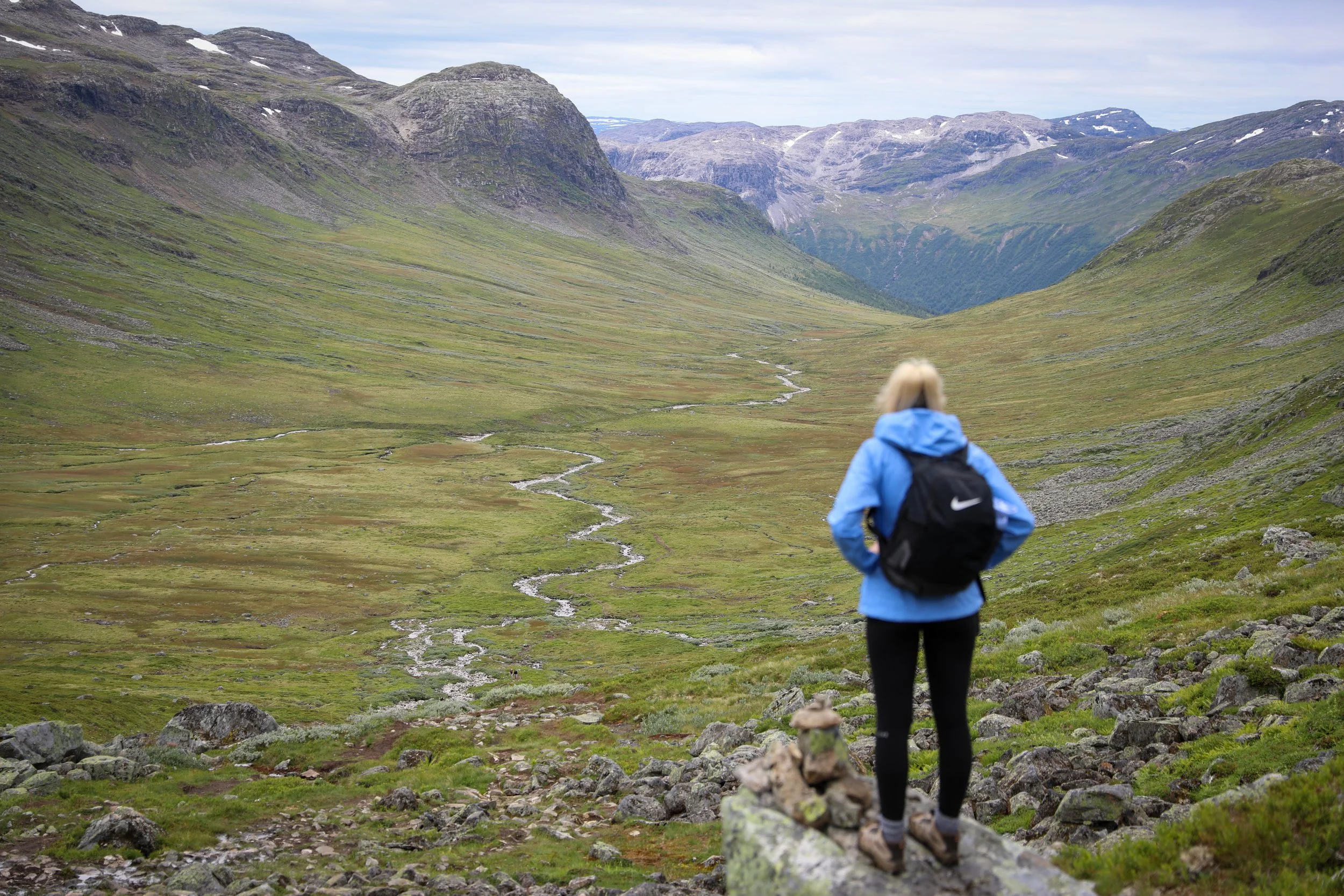
Nærøy Valley
Hike Overview and Map
Trailhead: Path commences | Google Maps
Parking: Designated parking | Google Maps
Total Hiking Distance: 20 km | round-trip
Total Hiking Duration: 8 hours | return
Difficulty: Moderate
Altitude: 1,398 meters above sea level
Price: Free entry to the hike
Highlights: Sweeping views over Nærøyfjorden, the village of Bakka, the dramatic Nærøydalen valley, and waterfalls spilling down steep fjord cliffs.
Getting There
From Bergen:
Hire Car
All generic hire car companies (Avis, Budget, Europcar) are available from Bergen Airport (Bergen Lufthavn) or Bergen City Center
Car hire costs vary substantially and it is usually one of the most significant costs of a trip Norway so it is best to check and compare prices at the time of booking
The drive takes around 2.5 hours one-way
The total distance is around 144 km one-way
Overall a hire car is the best way to get around Norway if its within your budget
View of Hvíthamar from a Drone
General Tips
A small fee may be charged unofficially for parking on private land for the hike.
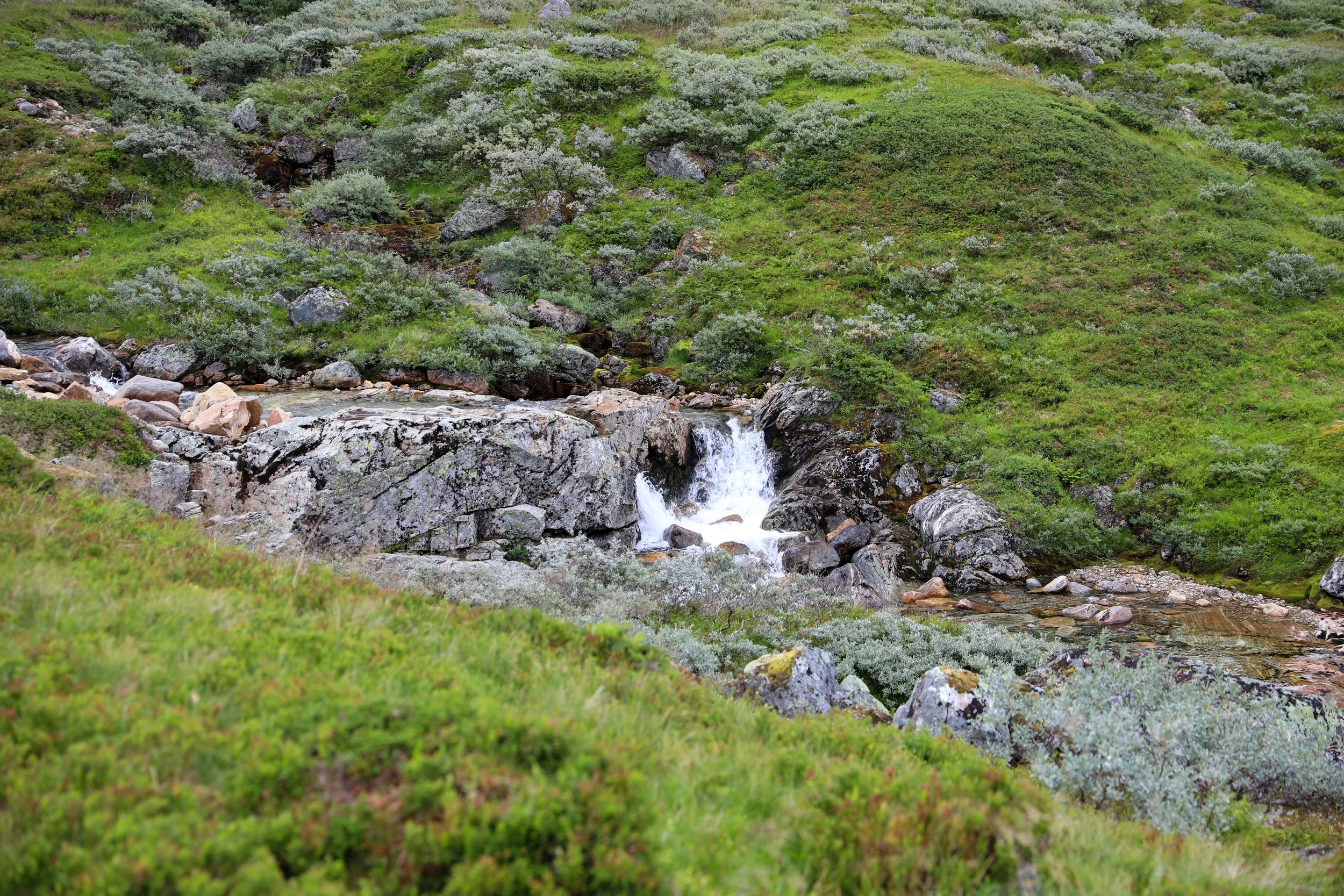
The trail itself can get extremely muddy as it follows a stream for most of the way, for this reason sturdy waterproof footwear is recommended.
The viewpoint at the end of the trail is very exposed so ensure that you are being careful if there are strong winds.
In general the weather is extremely unpredictable in Norway so always prepare for rainfall with a rain/windproof jacket.
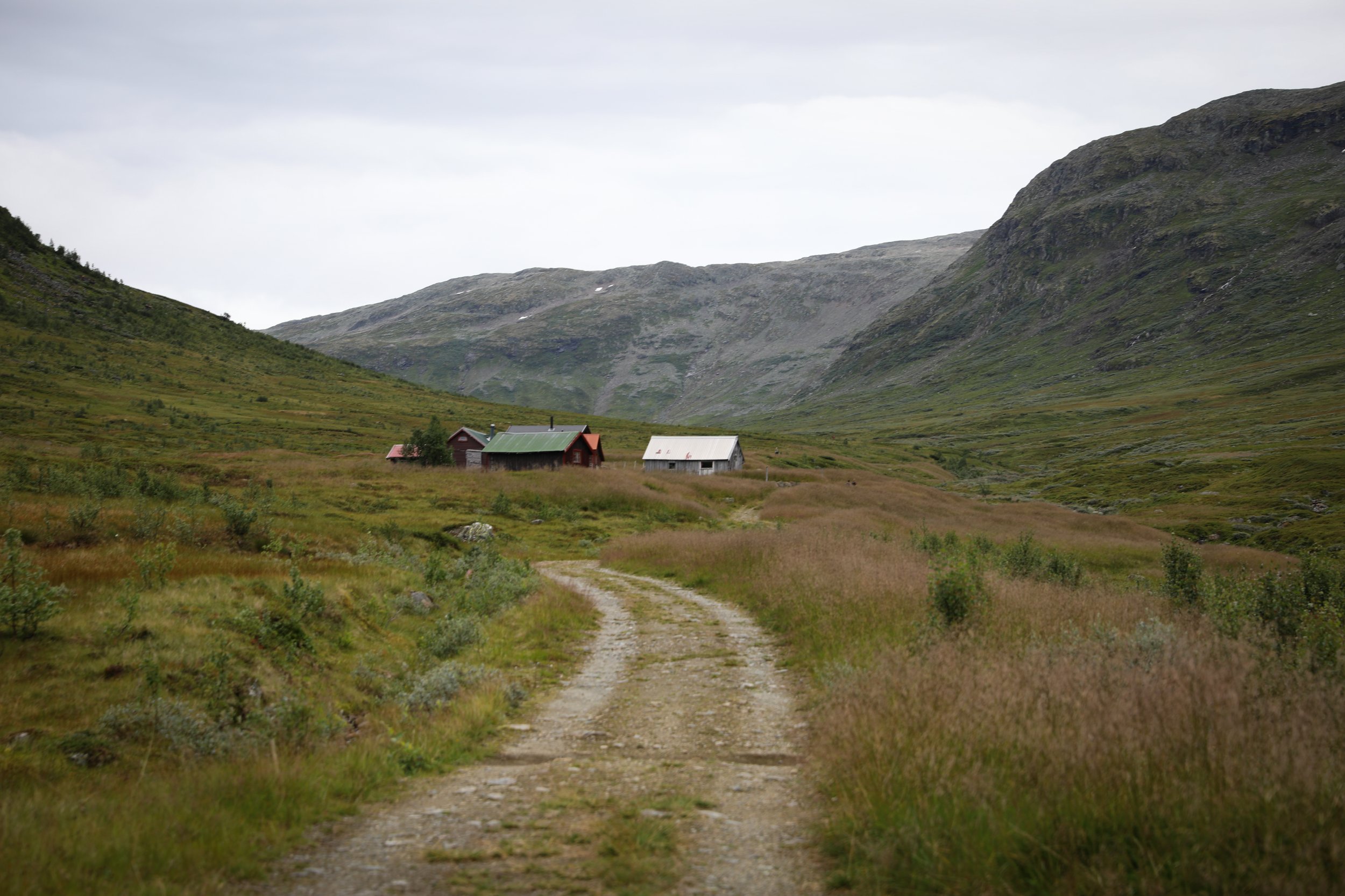
It is always a good idea to start earlier in the day to avoid the crowds. The hike itself is often used as an overnight camping spot.
Ensure you take enough food and water for the hike as there are no facilities in the area.
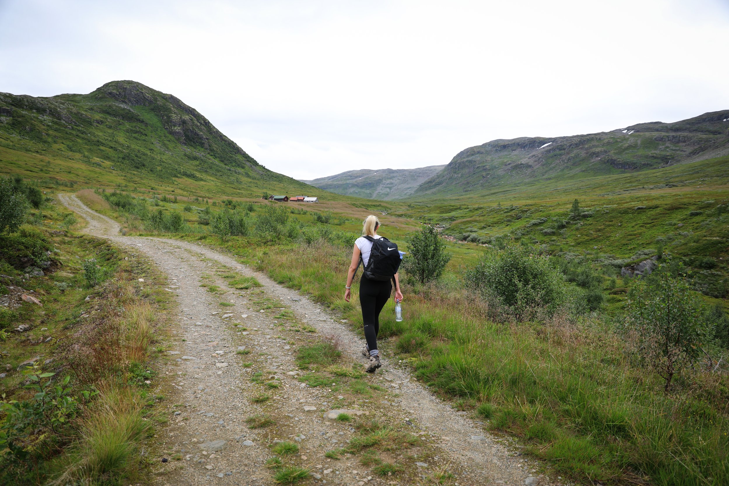
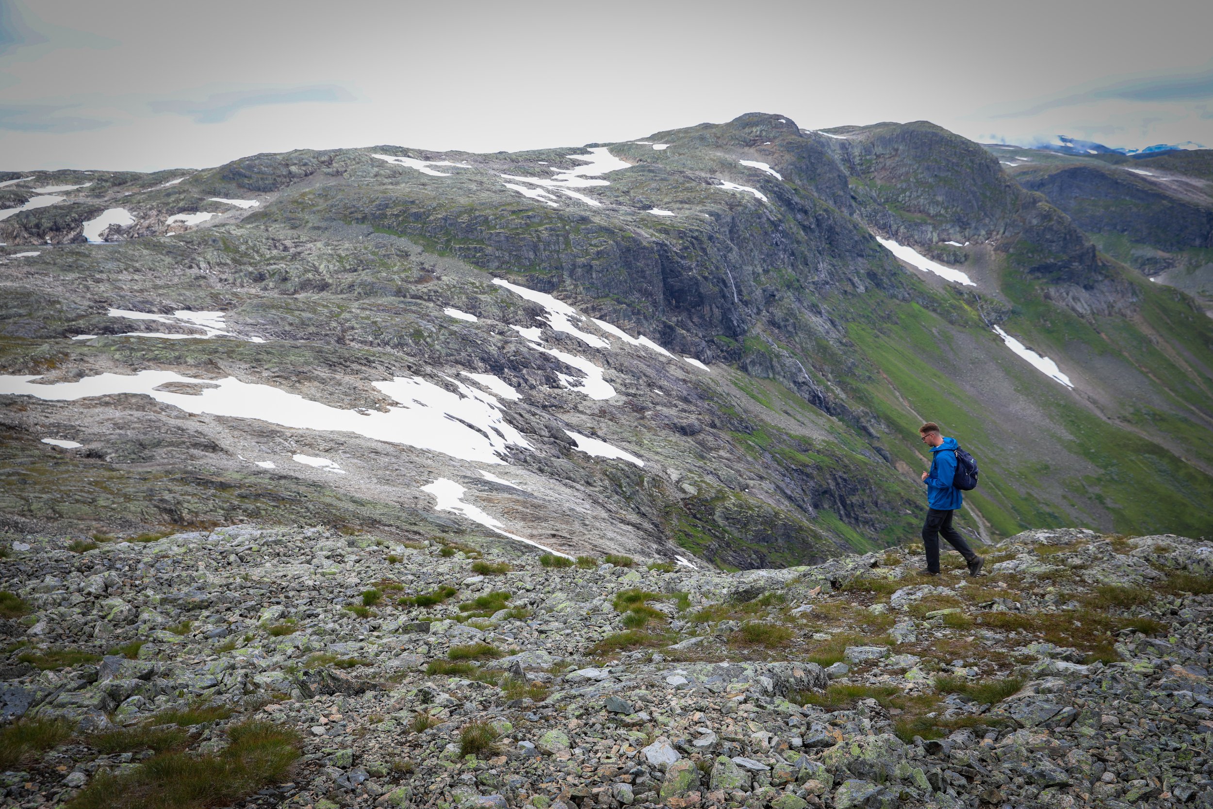
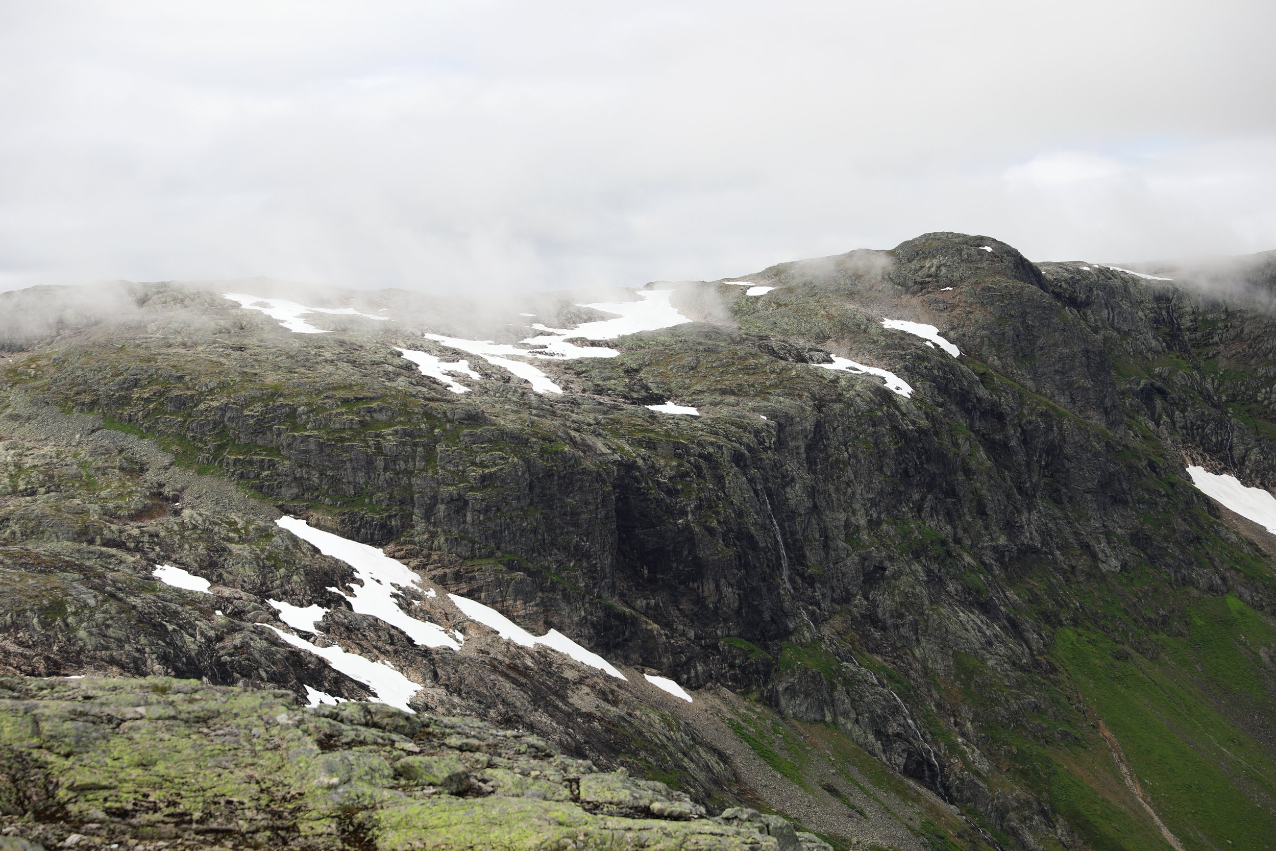
Trail
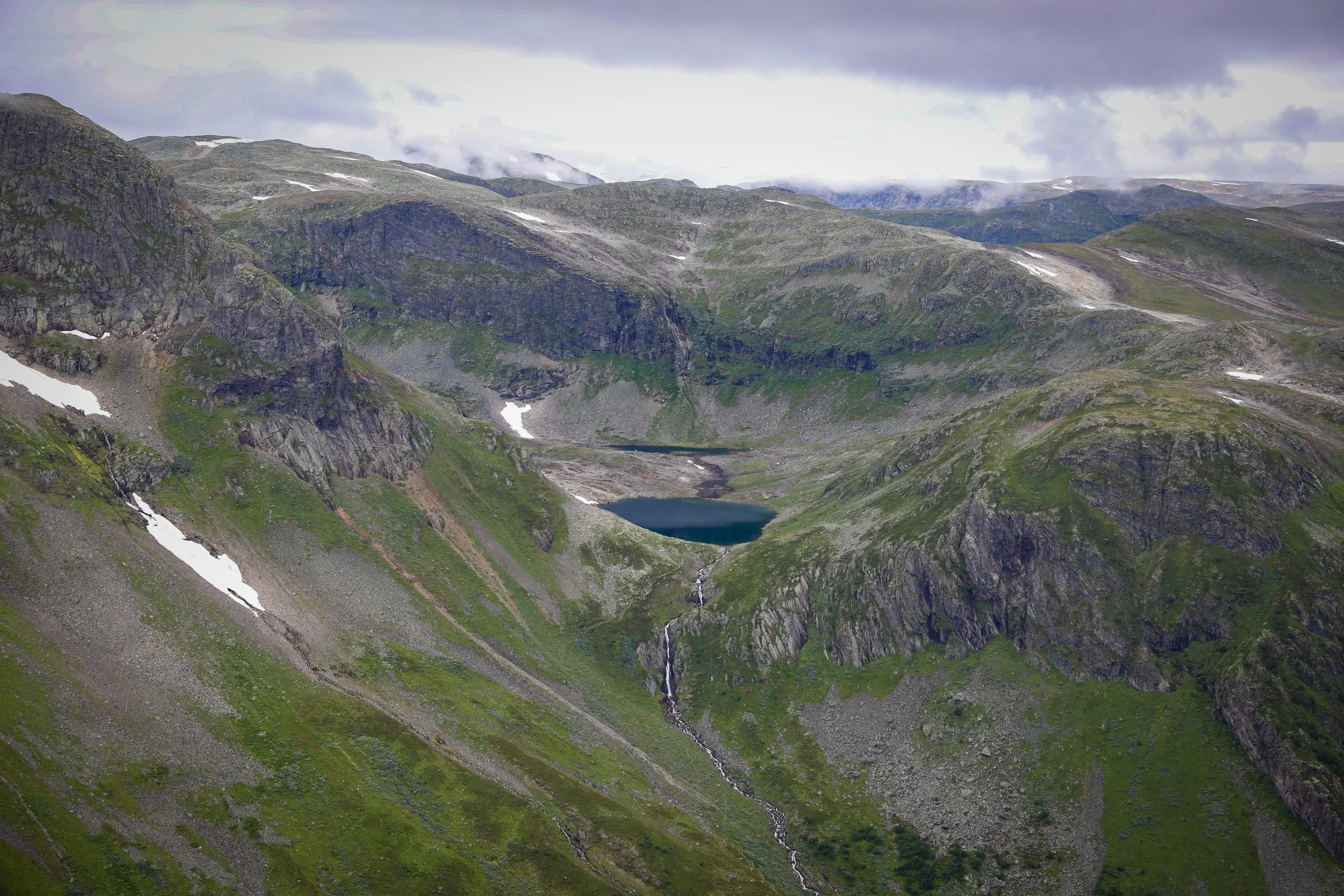
Hvíthamar Viewpoint
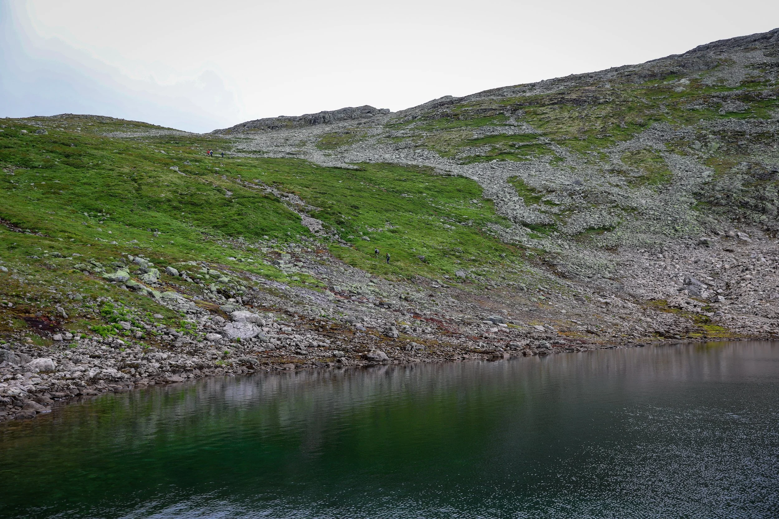
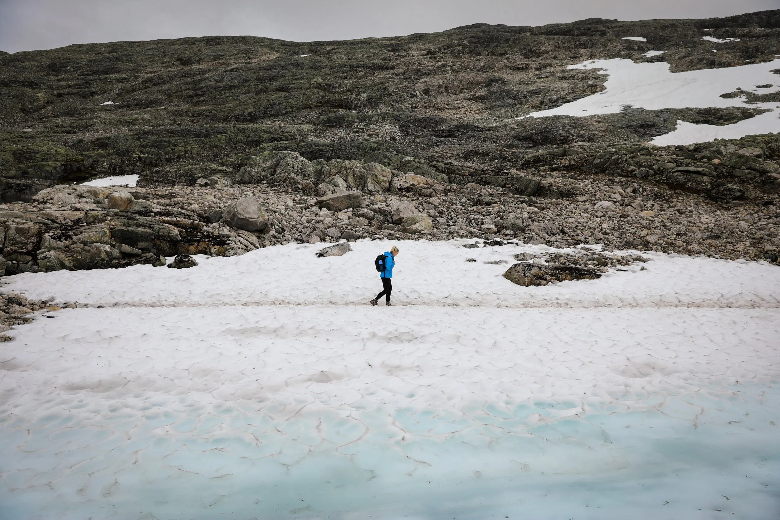
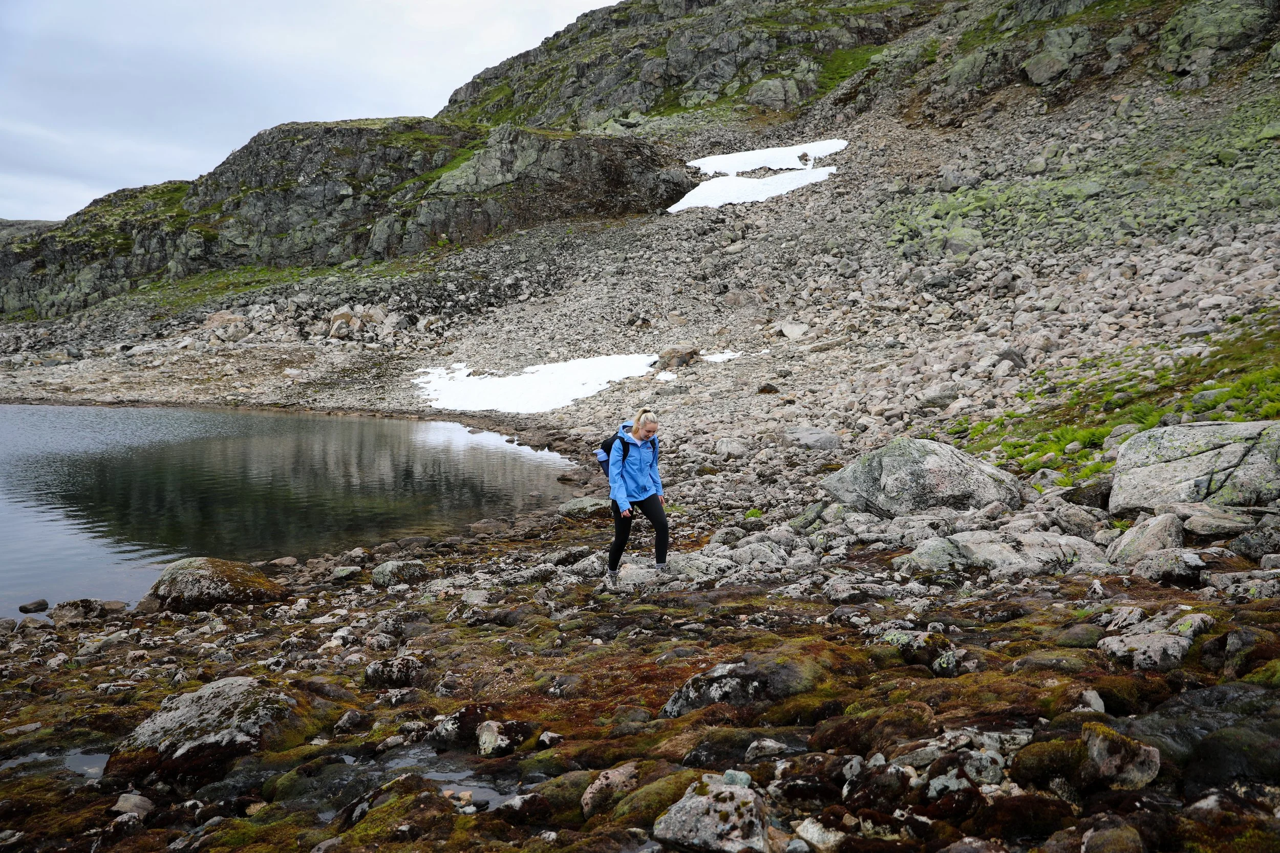
Mountain Lake View
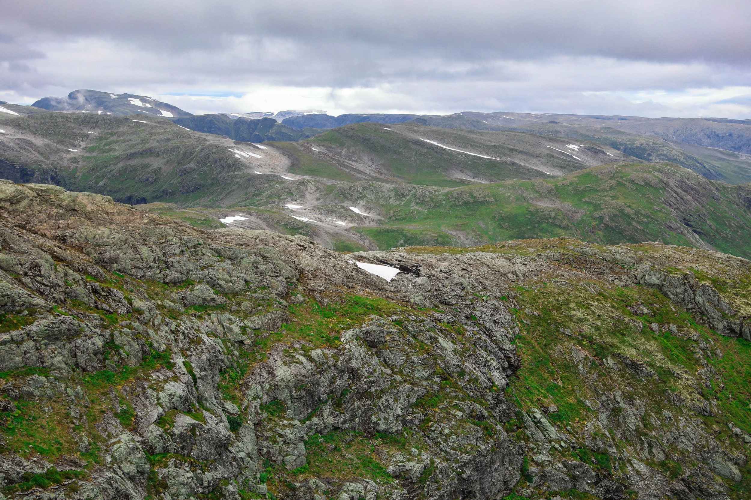
Rocky Outcrop
Snow Capped Mountains
Snow Capped
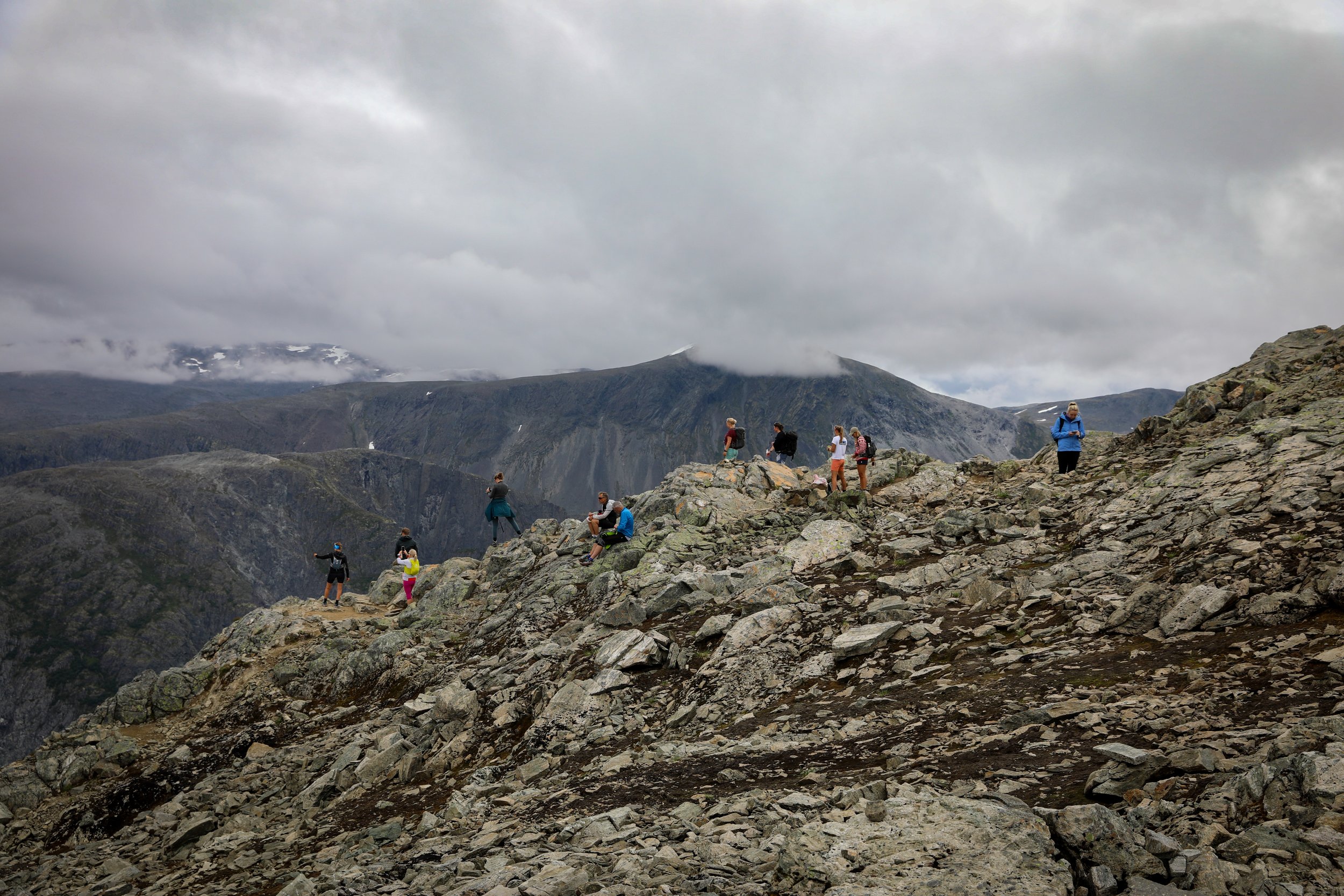
Final Viewpoint
Where to Next
Trolltunga Hike: A 2 hour drive is the town of Tyssedal the starting point for the iconic Trolltunga Hike. The trail is a demanding full-day hike that climbs steep mountain terrain to the famous rock ledge suspended high above Ringedalsvatnet, rewarding hikers with one of Norway’s most dramatic viewpoints.
Related Posts:
The Trolltunga hike, located in Vestland above the town of Odda and overlooking the Sørfjorden branch of the Hardangerfjord, is one of Norway’s most iconic and demanding adventures. The long alpine trail climbs steadily onto the Hardangervidda plateau, crossing rocky terrain and glacial valleys before reaching the famous rock ledge suspended 700 metres above Ringedalsvatnet, where vast mountain landscapes stretch endlessly in every direction.