Guide to Hiking to Trolltunga Ledge, Vestland, Norway
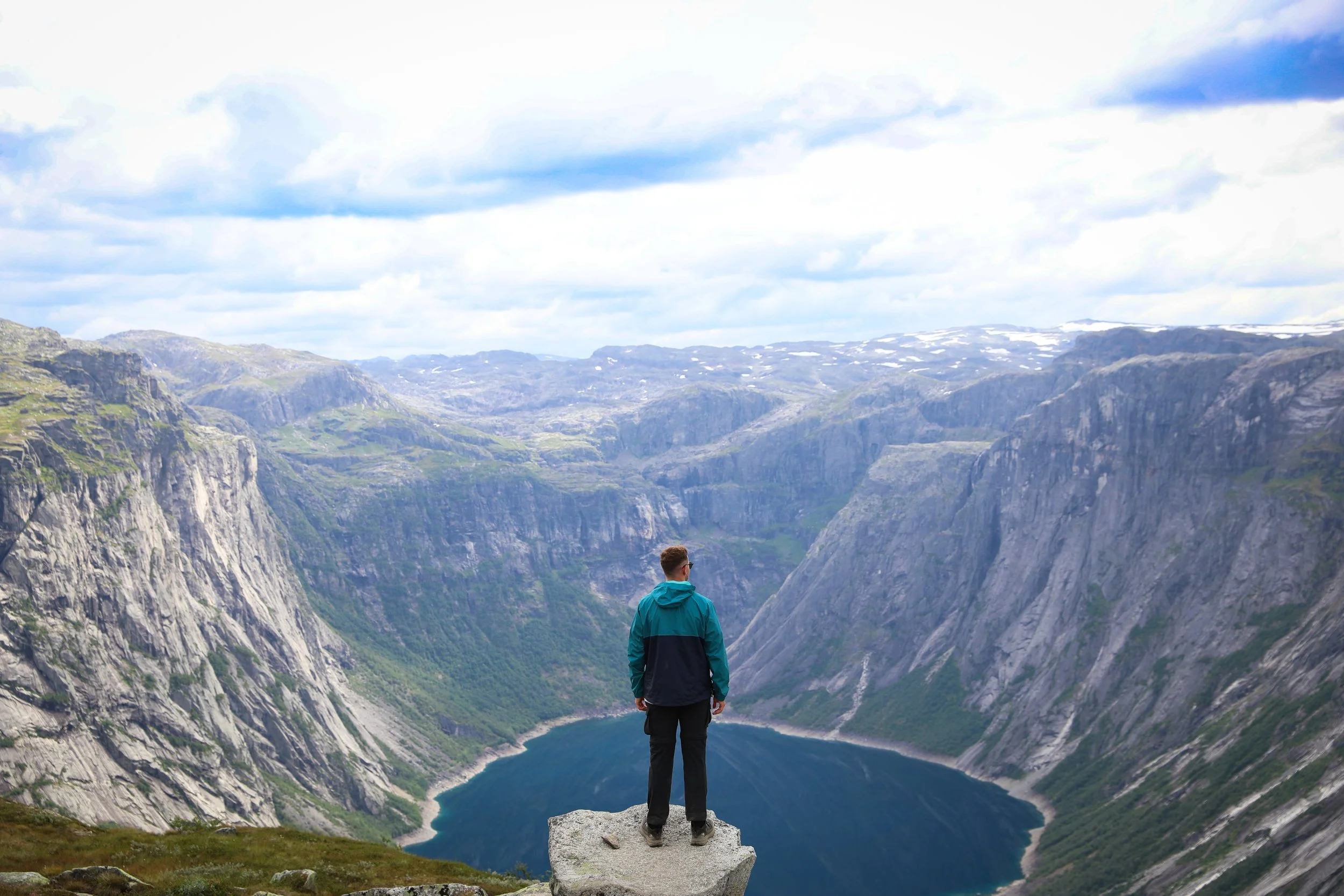
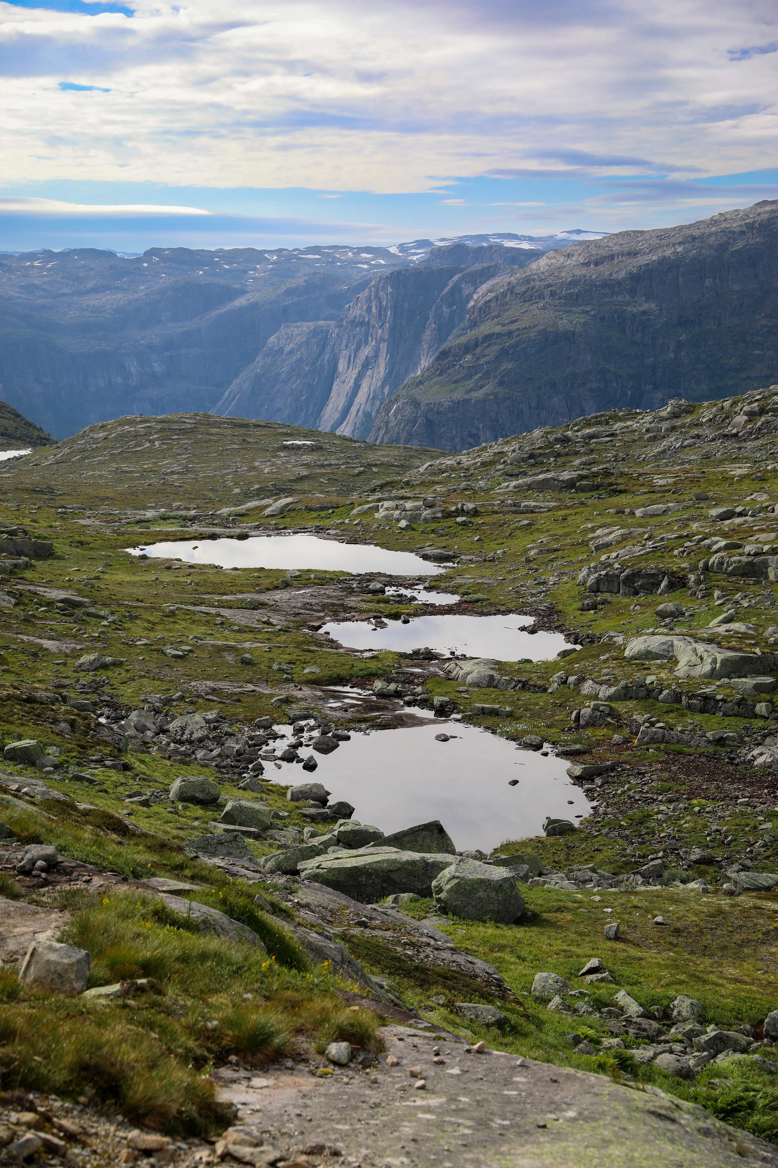
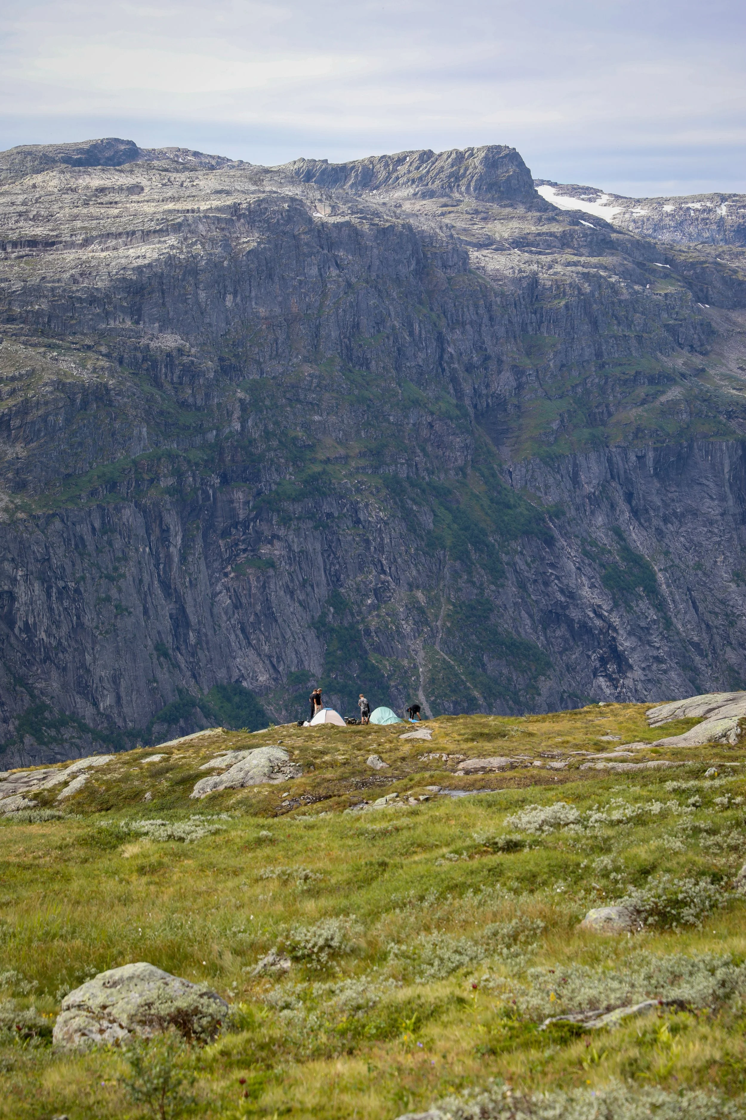
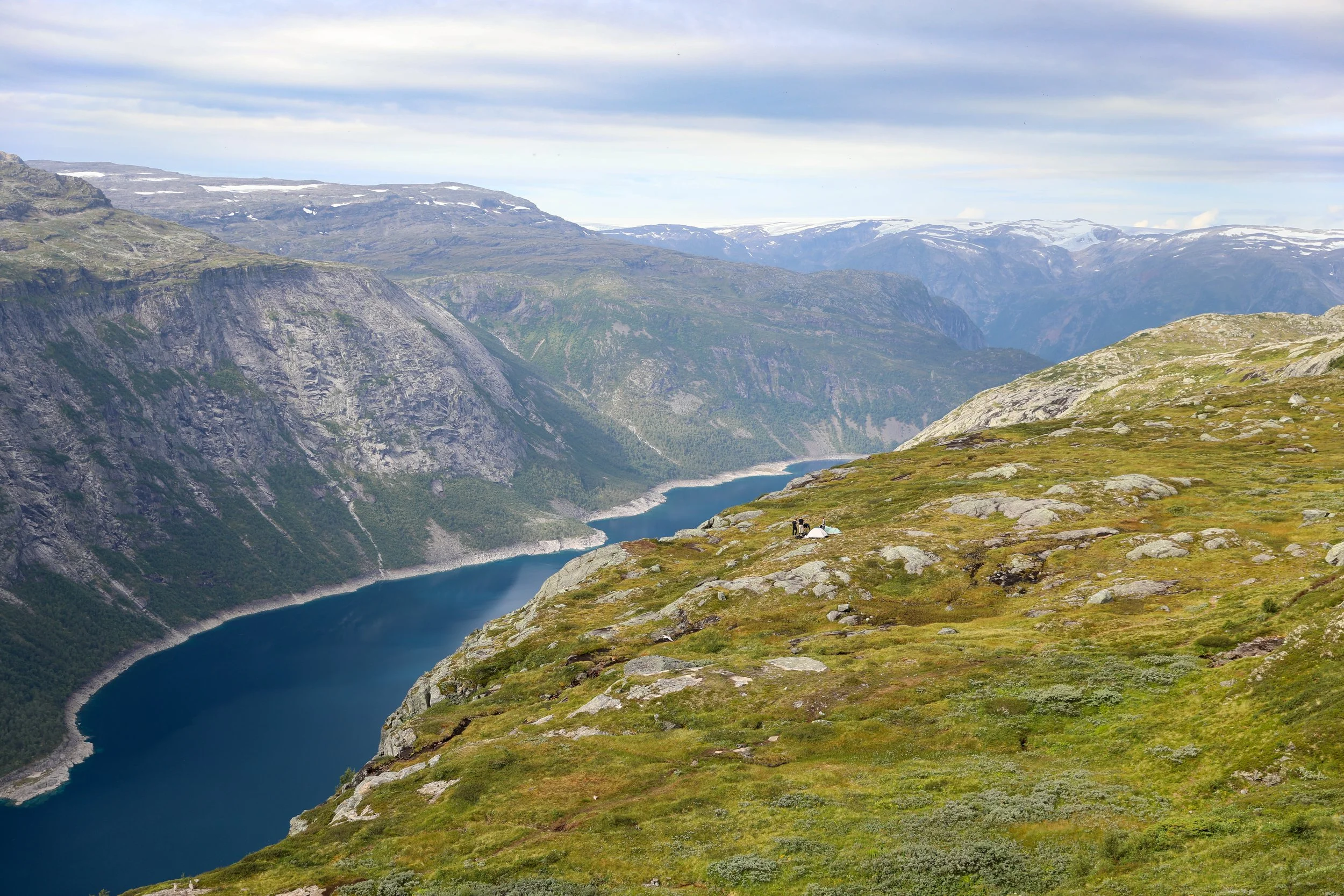
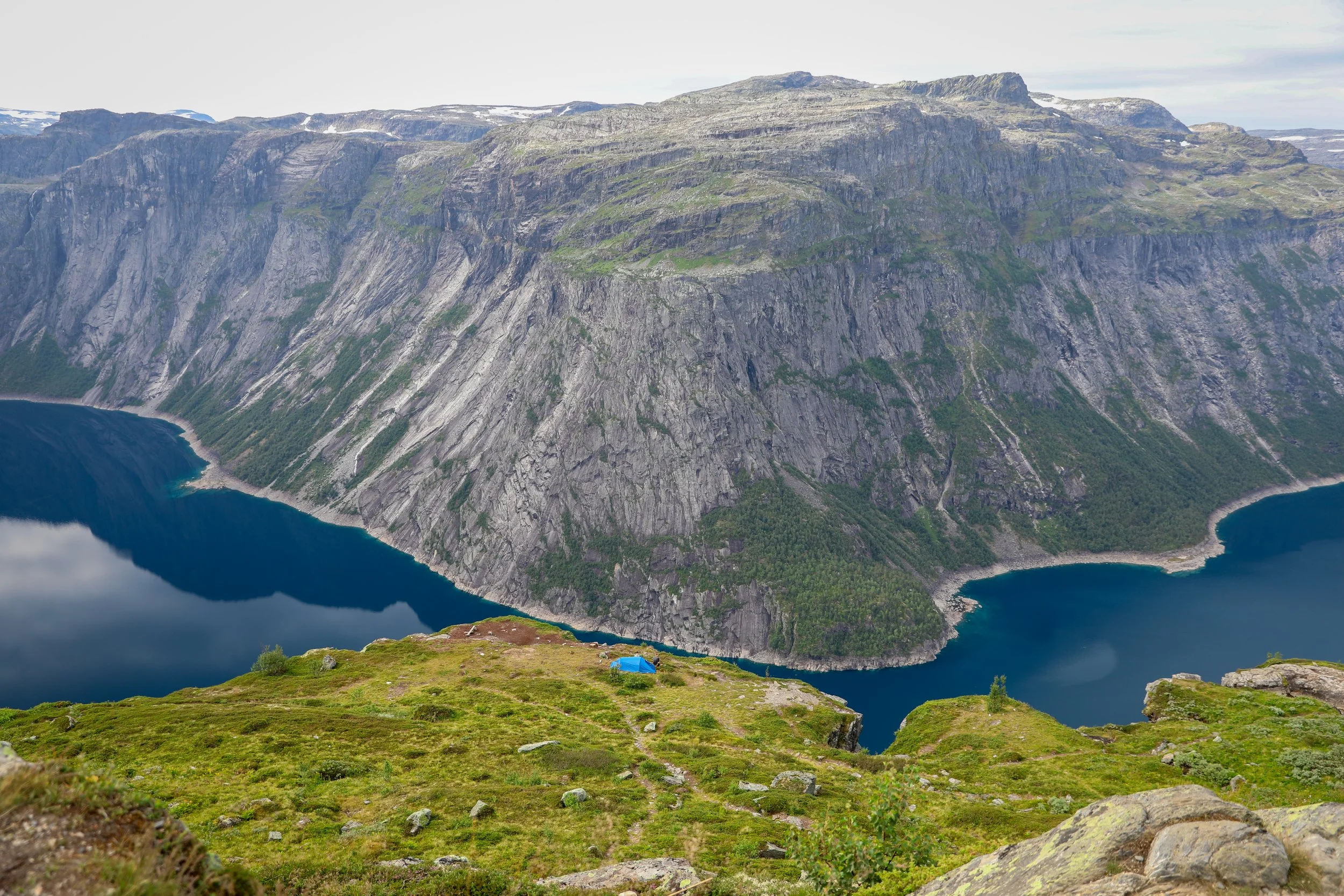
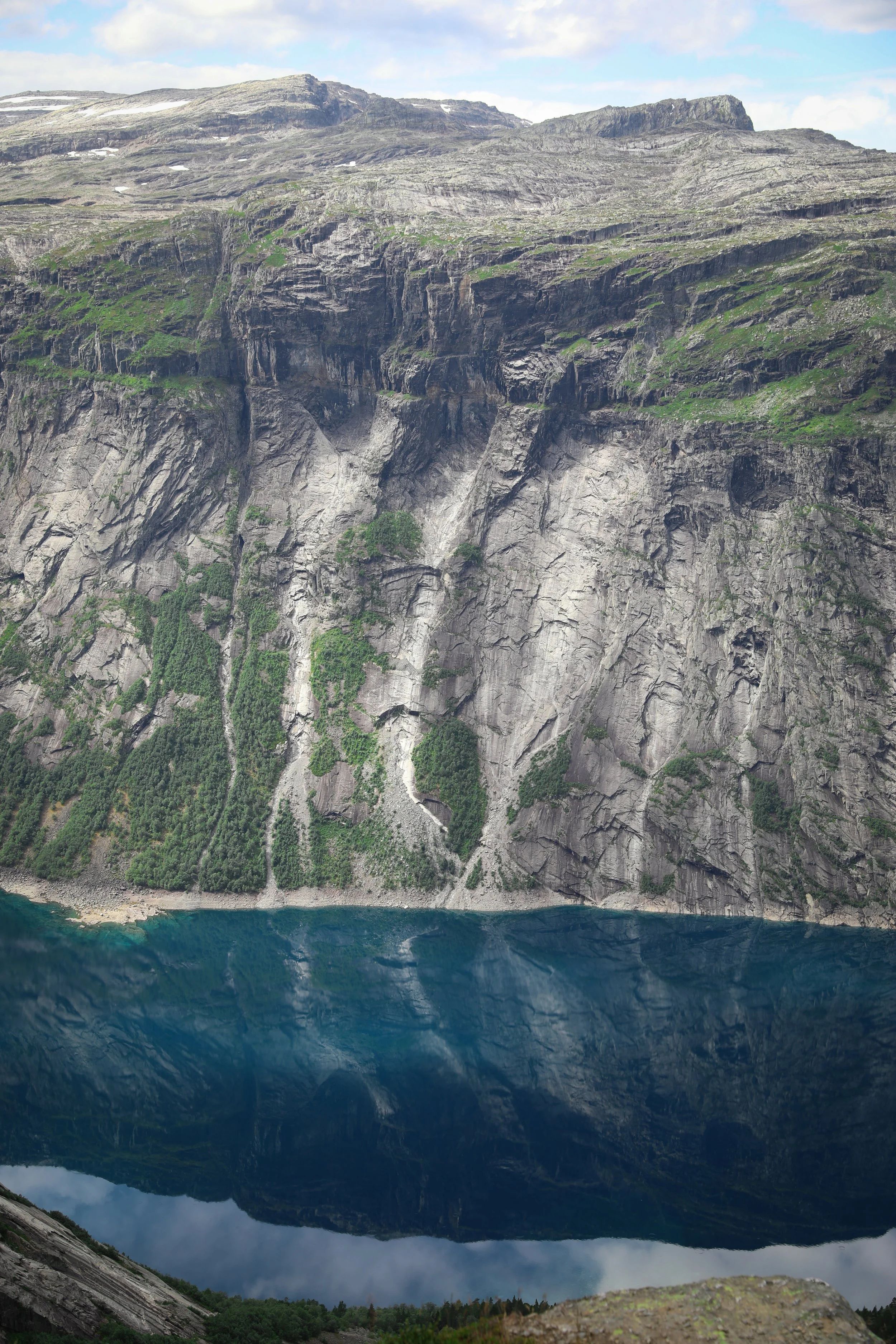
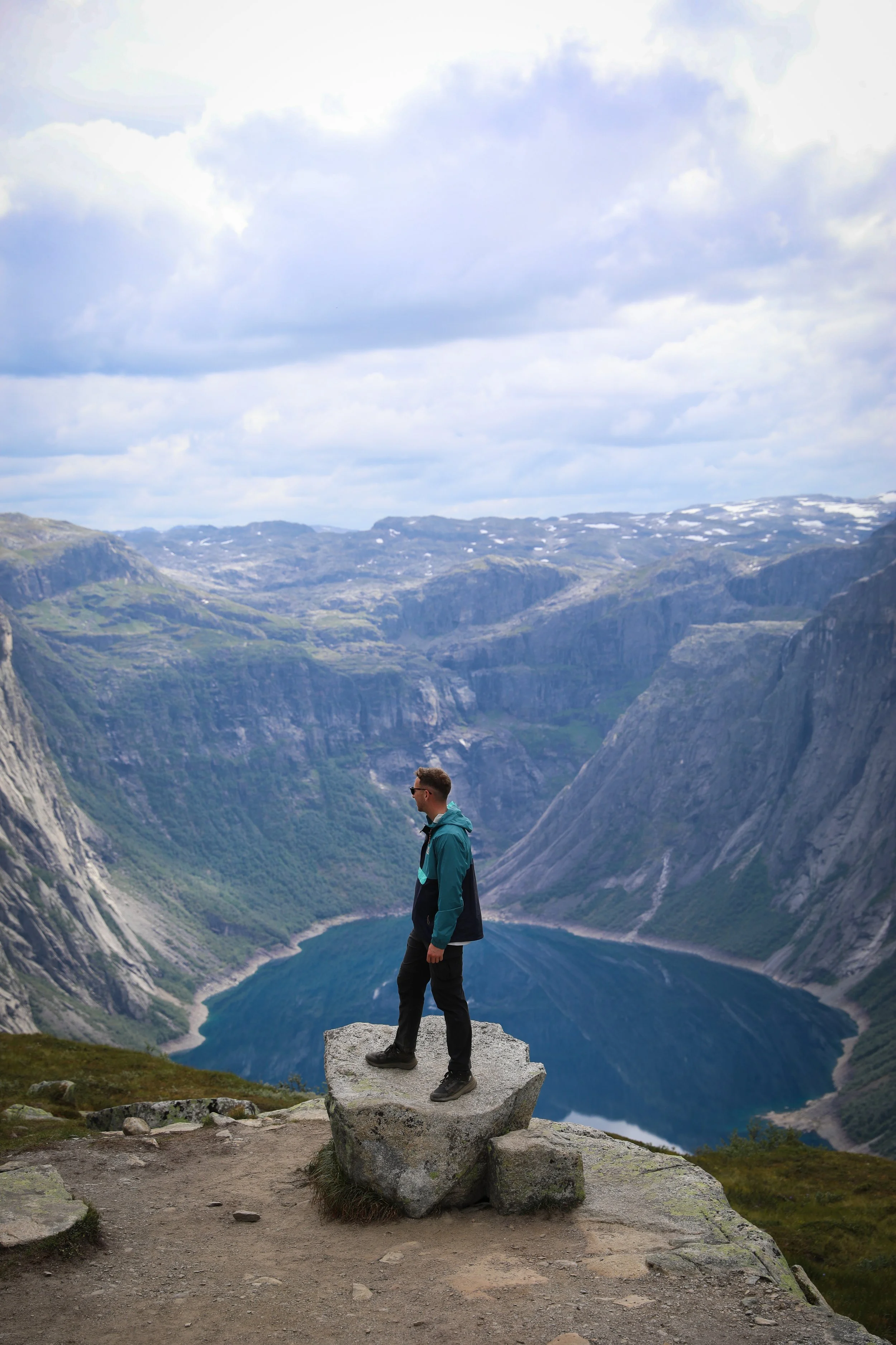
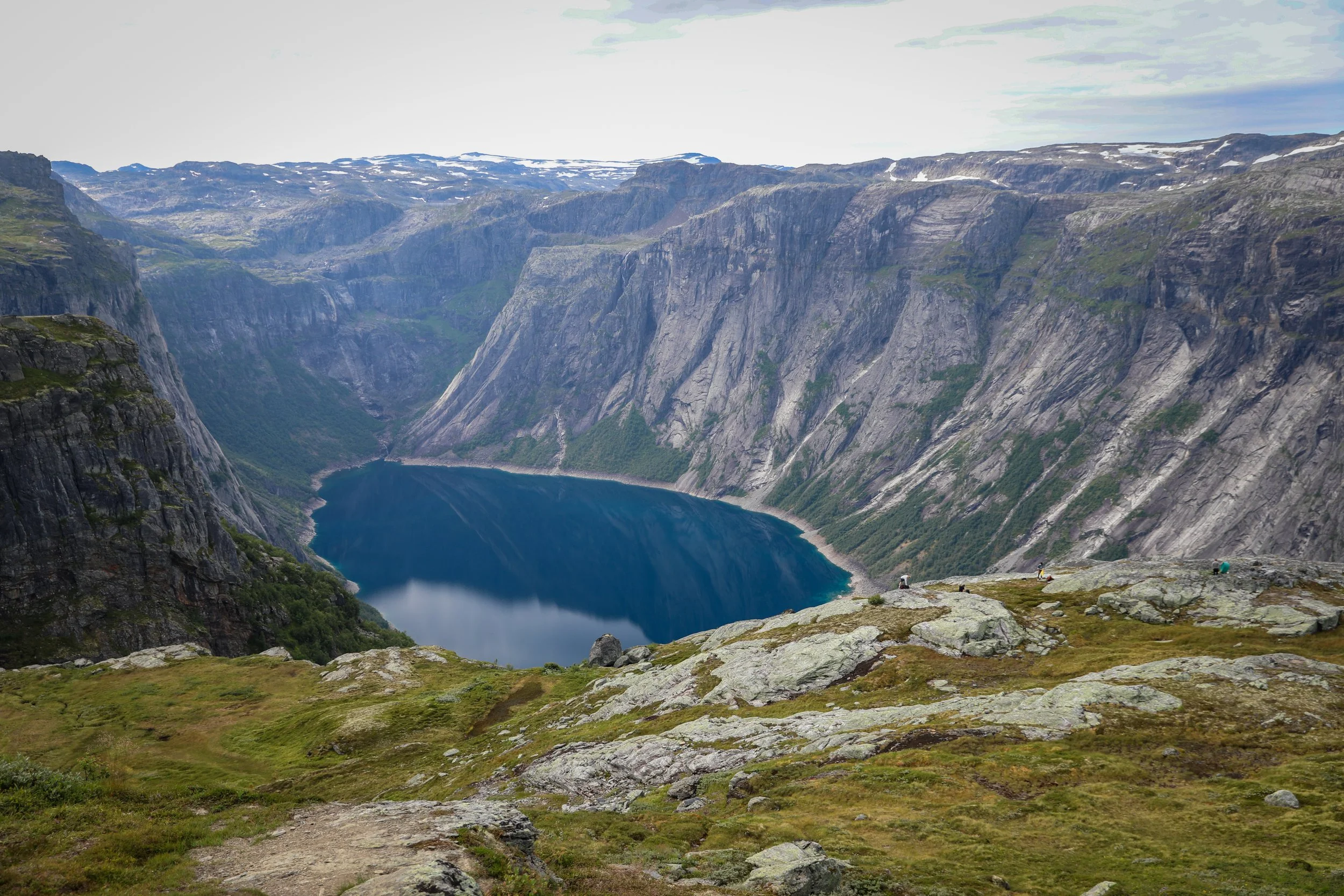
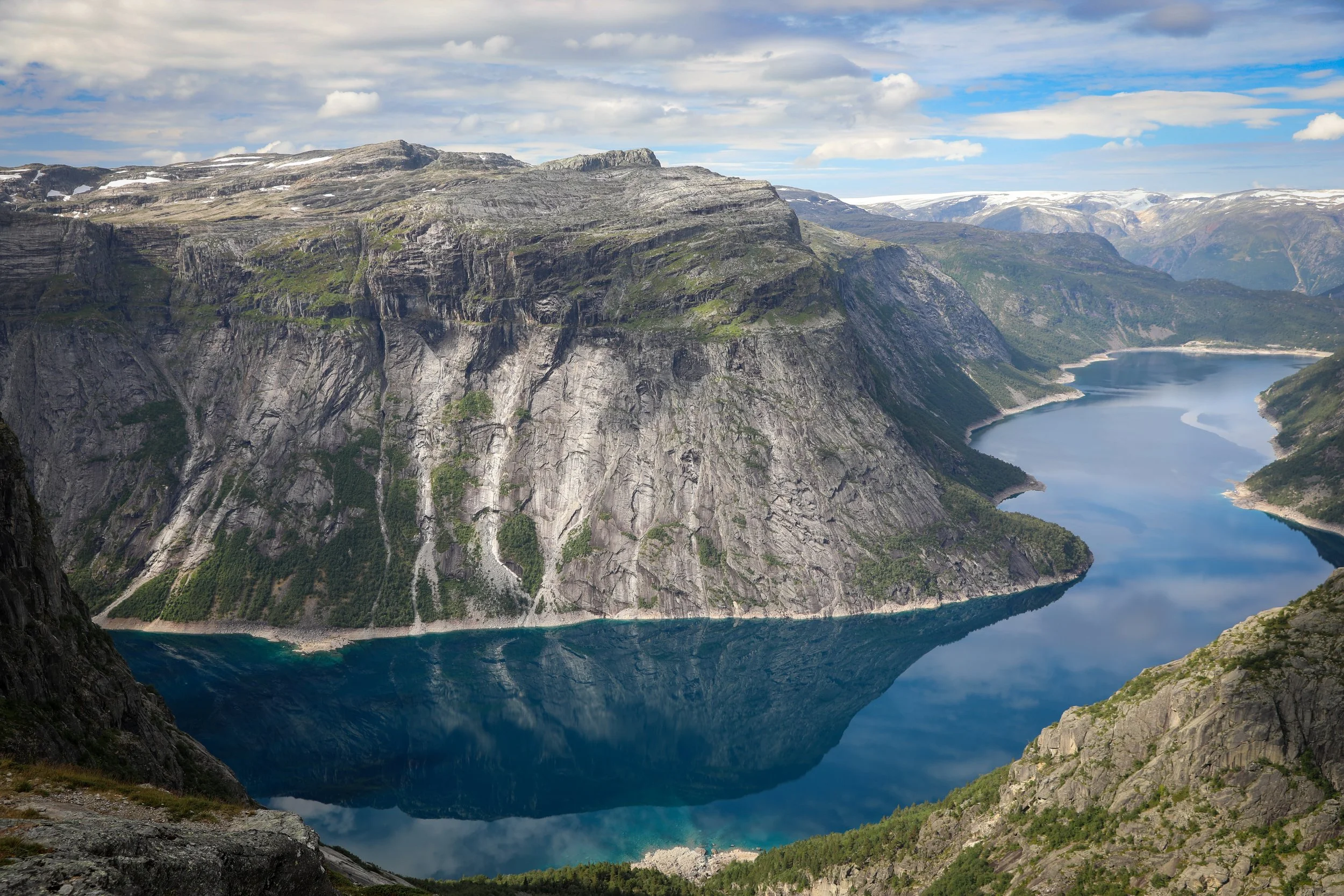
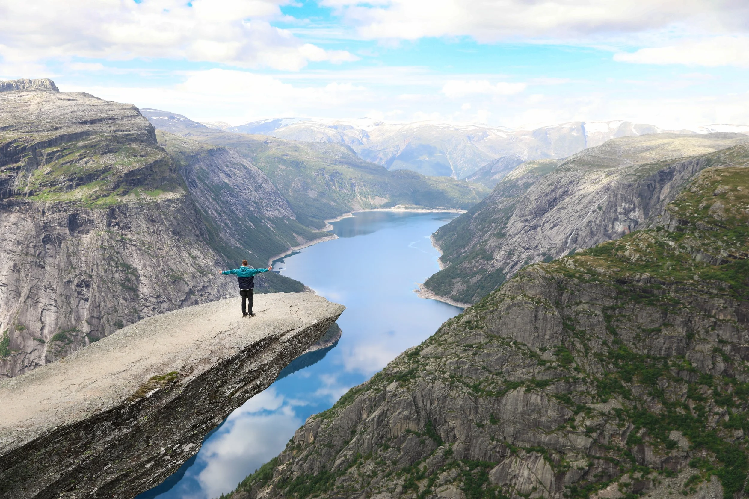
Trolltunga rises high above Ringedalsvatnet in Vestland, perched on the edge of the vast Hardangervidda plateau and overlooking the Sørfjorden branch of the Hardangerfjord. The trail climbs steadily through alpine terrain, crossing bare rock, rolling plateaus and glacially carved valleys before reaching the narrow rock tongue projecting dramatically from the cliff face. From the ledge, sheer drops fall 700 metres to the lake below, while layered mountains and distant fjord landscapes stretch across the wild heart of Western Norway.
Sørfjorden
Hike Overview and Map
Trailhead: Hiking trail | Google Maps
Parking:
Parking at P3 Mågelitopp | Google Maps
Parking at P2 Skjeggedal | Google Maps
Parking at P1 Tyssedal | Google Maps
Total Hiking Distance: 20 km | round-trip
Total Hiking Duration: 8 hours | return
Difficulty: Moderate
Altitude: 1,126 meters above sea level
Price: The hike itself is free, however the parking fee varies depending on location
Highlights: An alpine hike to the iconic Trolltunga ledge high above Ringedalsvatnet with sweeping mountain views.
Getting There
From Bergen:
Hire Car
All generic hire car companies (Avis, Budget, Europcar) are available from Bergen Airport (Bergen Lufthavn) or Bergen City Center
Car hire costs vary substantially and it is usually one of the most significant costs of a trip Norway so it is best to check and compare prices at the time of booking
The drive takes around 2.5 hours one-way
The total distance is around 144 km one-way
Overall a hire car is the best way to get around Norway if its within your budget
View of Hvíthamar from a Drone
General Tips
P3 is the upper carpark and the closest to the trailhead for the hike. It costs NOK 600 per day and requires booking well in advance from the official website.
This is by far the best option if you are willing to plan ahead, saving you significant time with ques for the shuttle.
Note that the gate to P3 opens around 6:00AM in summer.
P2 is the middle carpark costing around NOK 500 per day and requiring a shuttle at an additional fee. Alternatively it is possible to walk this section which is around 4km directly up hill.
The first shuttle from P2 up to the trailhead is around 6:30AM.
P3 is the cheapest option at NOK 300 per day with ample space if both P2 and P3 are full.
The trail can get extremely busy so its wise to try and get there as early as possible. In particular there are often ques to get the famous photo at the end of the hike.
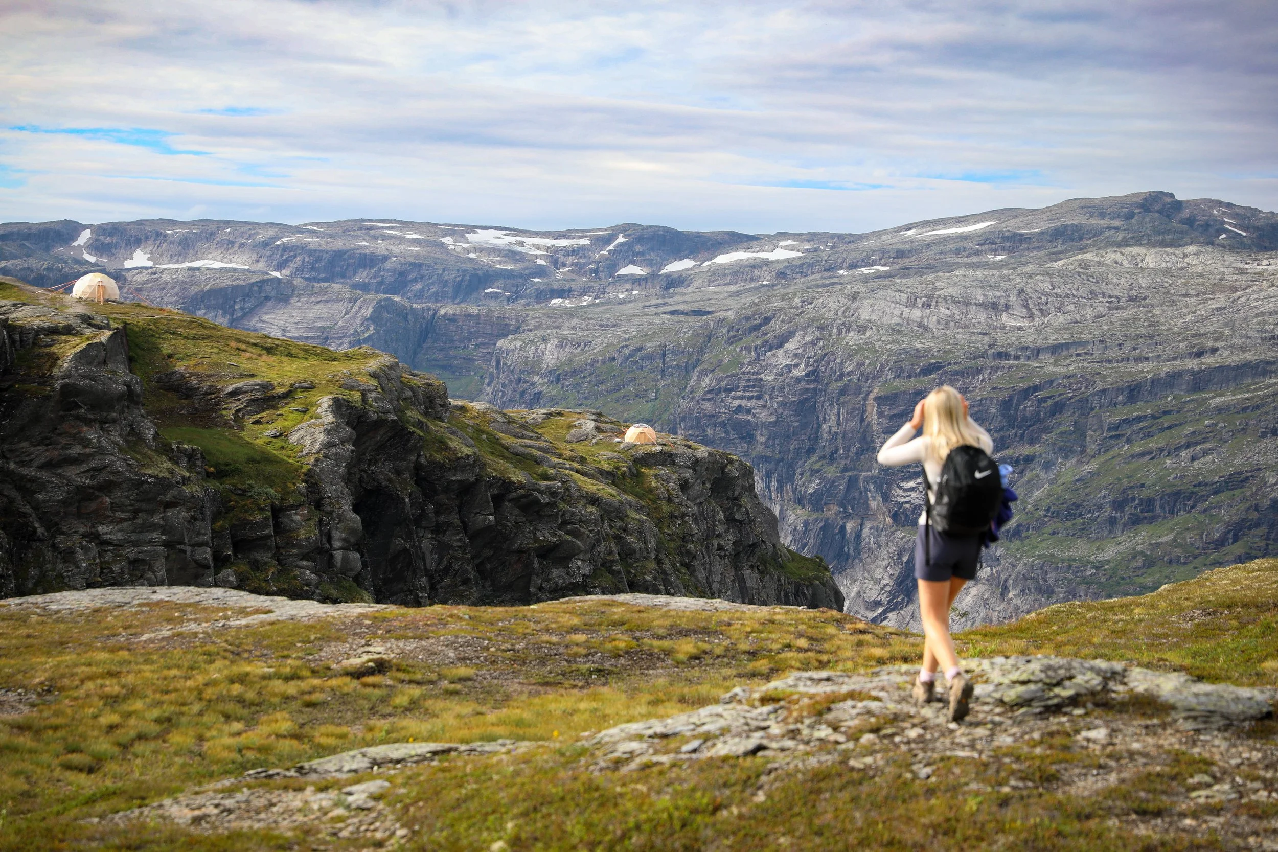
Note that there are a lot of stunning vantage points along the hike in conjunction with the final viewpoint so take your time.
I would suggest wearing sturdy waterproof footwear for walking across the exposed granite rock sections which can get quite slippery.
Ensure you take enough food and water for the hike as there are no facilities in the area.
In general the weather is extremely unpredictable in Norway so always prepare for rainfall with a rain/windproof jacket.
Trail
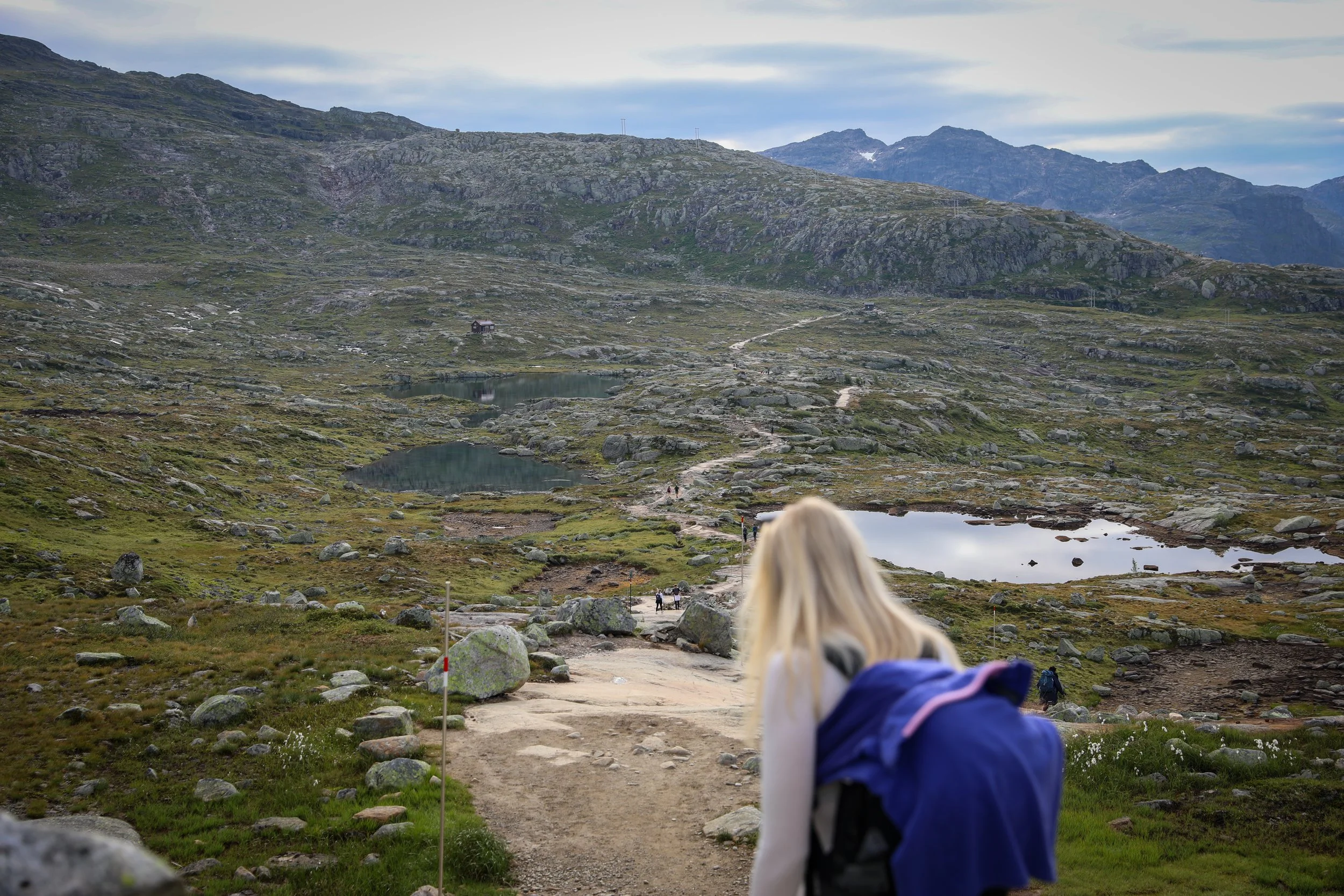
Hiking Trail
Hvíthamar Viewpoint
Trolltunga Viewpoint
Where to Next
Bakkanosi Ridge Hike: A 2 hour drive from Tyssedal is the the starting point for the Bakkinosi Ridge Hiking Trail. The hike offers a short but steep climb to one of the areas most dramatic viewpoints, lifting high above the Nærøyfjord.
Related Posts:
The Trolltunga hike, located in Vestland above the town of Odda and overlooking the Sørfjorden branch of the Hardangerfjord, is one of Norway’s most iconic and demanding adventures. The long alpine trail climbs steadily onto the Hardangervidda plateau, crossing rocky terrain and glacial valleys before reaching the famous rock ledge suspended 700 metres above Ringedalsvatnet, where vast mountain landscapes stretch endlessly in every direction.