
Saksun to Tjørnuvík Trail: Faroe Islands Hiking Guide
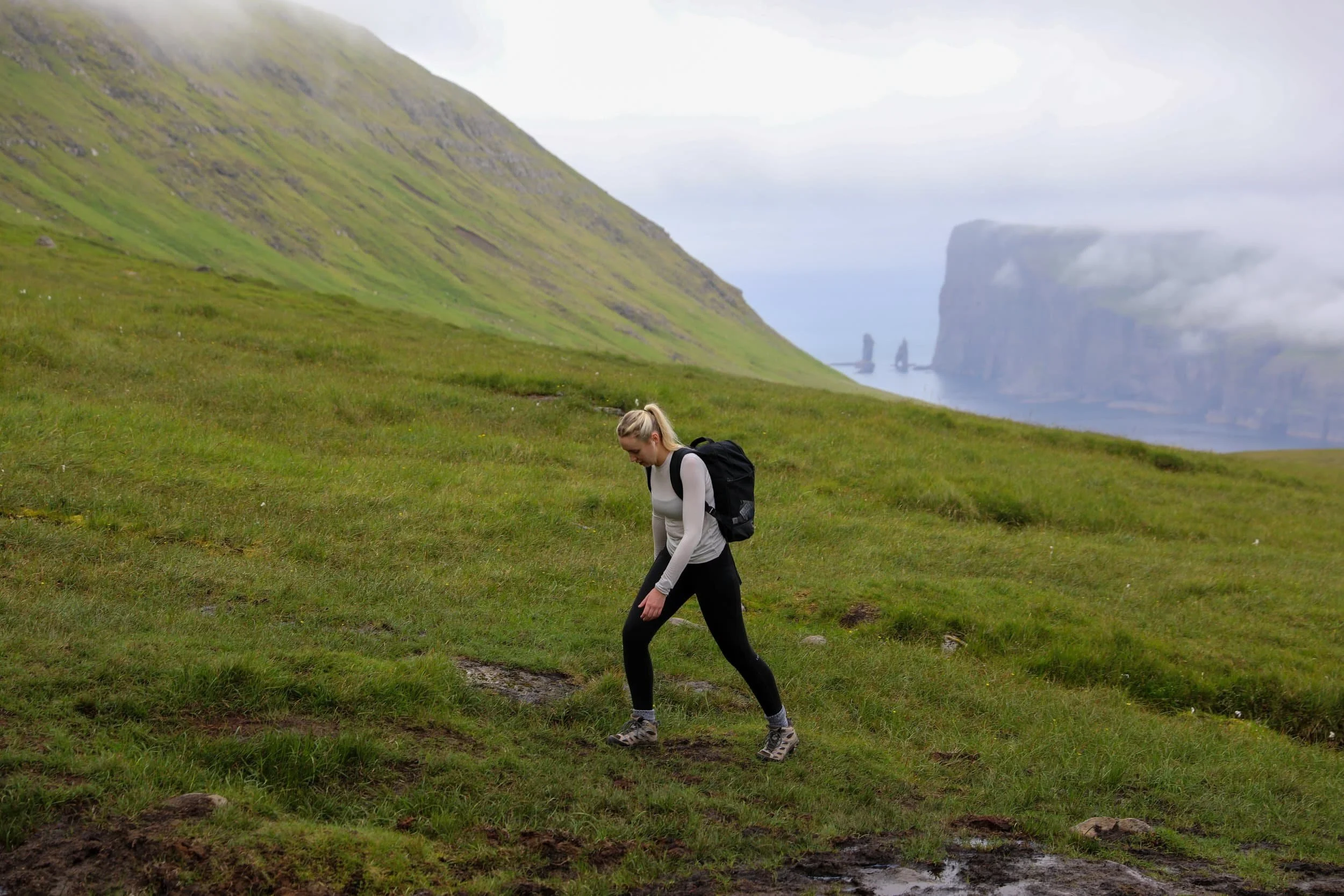
I’d been looking forward to hiking Saksun to Tjørnuvík Trail ever since I started planning our trip to the Faroe Islands, and it certainly lived up to expectations.
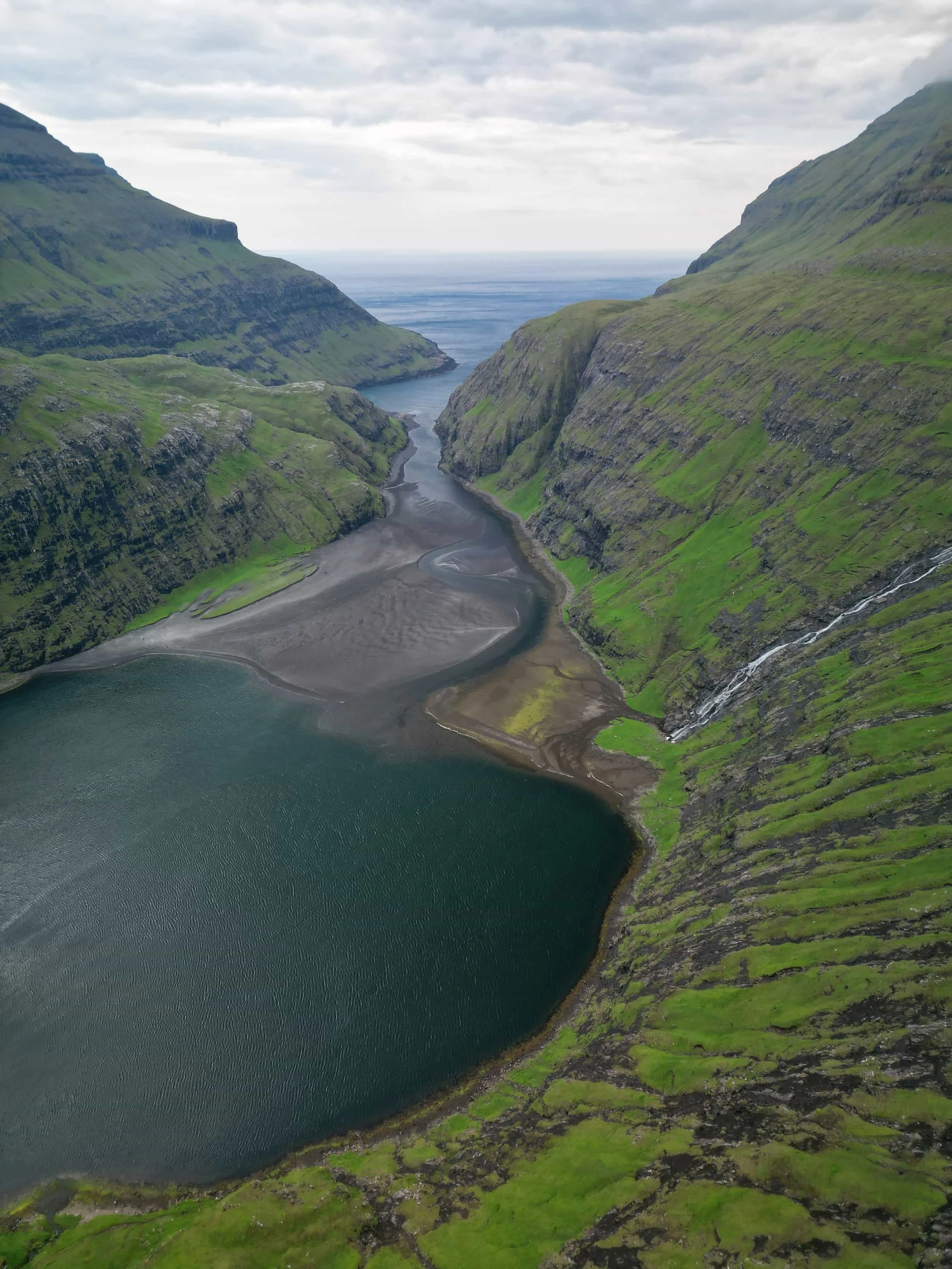
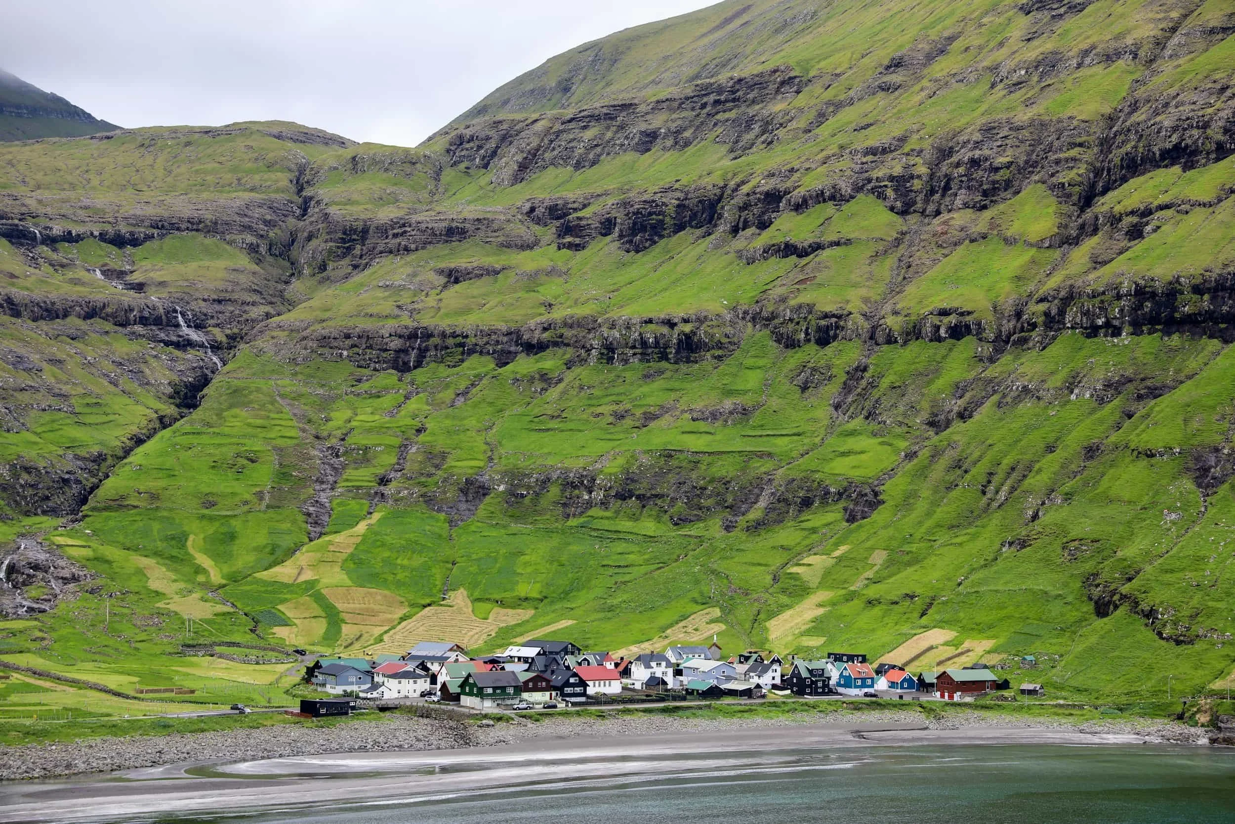
The trail crosses the mountains of Streymoy Island, linking two villages I was very keen to see; peaceful Saksun, with its tidal lagoon and turf-roofed houses, and Tjørnuvík, set beside a black-sand beach beneath the sea stacks Risin and Kellingin.
The route climbed away from the villages into open, rugged highlands, with the weather and scenery changing around us as we crossed the pass. Importantly the trail also acts as the gateway to the iconic hike to the Mýlingur Sea Cliffs.
In this guide, I’ll share what the hike was like, how to plan the route and what to know before setting out.
Saksun to Tjørnuvík Trail Overview
Trailhead: Follow signs from Saksun small townsite “Saksun to Tjørnuvík Trail” | Google Maps
Parking: Next to the church free parking | Google Maps
Total Hiking Distance: 14 km | Return
Total Hiking Duration: 6 hour hike | Round-Trip
Difficulty: Moderate
Altitude: 568 meters above sea level
Price: The hiking trail is free
Highlights: Views of Saksun Church, the Saksun Lagoon and the Black Sand Beach, sea stacks Risin og Kellingin (the Giant and the Witch)
Where is the Saksun to Tjørnuvík Trail
The Saksun to Tjørnuvík trail crosses northern Streymoy, linking Saksun on the island’s west coast with Tjørnuvík to the north. The route climbs through Saksunardalur valley, crossing open grassland and steep mountain slopes before reaching the pass above Tjørnuvík. Along the way, you’ll get views across the valley and surrounding highlands.
Saksun is a small village at the end of a tidal lagoon, surrounded by steep mountains. Its turf-roofed houses and historic church make it one of the most distinctive places on Streymoy. Tórshavn is the nearest major town and a popular base for exploring the island.
The trail can technically be started at either end being in either Saksun or Tjørnuvík, but I have focused on starting it from Saksun. The main reason for this being that there is more to see in Saksun itself.
It is actually part way along the Saksun to Tjørnuvík trail that there is the opportunity to deviate off an un-marked section and hike towards the Mýlingur Sea Cliffs.
How to Get to Saksun
Saksun is a remote village on Streymoy, around 46 km from Tórshavn. The easiest way to reach it is by hire car, noting that there is no option to get public transport to the village of Saksun. If you really want to take public transport then you are better off doing the hike in reverse and going from Tjørnuvík.
The drive takes you through the island’s scenic interior before the road descends into Saksun’s mountain-ringed valley.
Hire Car: Self-Drive to Saksun
Hiring a car is the easiest way to get to Saksun and explore the Faroe Islands at your own pace. Avis, Budget and Europcar have rental locations at Vágar Airport and in central Tórshavn. Car hire can be a significant trip expense, so compare prices before booking, and try and book well in advance.
The drive from Tórshavn takes you north across Streymoy and along narrow, paved roads into the valley. A standard 2WD is suitable for the journey. Once in Saksun, park in the designated public car park near the church before exploring the village or starting the hike.
The journey details are:
Distance from Tórshavn: Around 46 km
Drive time: Approximately 50 minutes
Roads: Paved; a 2WD is suitable
Parking: Public car park near the church
If it fits your budget, a hire car makes it much easier to explore Saksun and other parts of the Faroe Islands, especially as public transport options to the village are limited.
Saksun to Tjørnuvík Trail Map
This Saksun to Tjørnuvík trail map shows the route across northern Streymoy, connecting the two villages over the mountain pass. Use it to see the trail’s position in relation to Saksun, Tjørnuvík and the surrounding valleys before you set out.
Where to Stay for Hiking Saksun to Tjørnuvík Trail
You can stay in Saksun or Tjørnuvík to be close to one end of the trail, or base yourself in Tórshavn for a wider choice of accommodation, restaurants and services. Saksun offers a quiet village escape beside the tidal lagoon, while Tjørnuvík has a sheltered bay, black-sand beach and views of Risin and Kellingin. Tórshavn is around a 50-minute drive from Saksun and 55 minutes from Tjørnuvík, making it a practical base if you’re happy to drive to the trail.
Best Places to Stay in Saksun
Saksun is extremely peaceful, especially after day visitors leave, so it’s a good choice if you’re looking for a proper escape into the Faroese countryside. It’s also around a 35-minute drive from Tjørnuvík, making it easy to visit both villages during your stay.
If you stay in Saksun you also have the opportunity to visit the lagoon and black sand beach.
The best places to stay in Saksun are:
Saksun Mountain and Beach Cottage - This cottage offers a quiet, self-catering stay in the heart of Saksun, surrounded by the village’s dramatic mountain scenery. It’s a good choice if you’d like to spend more time exploring the area and enjoy the peaceful atmosphere after day visitors have left
Saksun Authentic Faroese Cottage - A characterful cottage in Saksun, offering a peaceful stay amid the village’s dramatic mountain and lagoon scenery. It’s a lovely base for exploring the church, tidal lagoon and surrounding countryside.
Best Places to stay in Tjørnuvík
Staying in Tjørnuvík puts you at the other end of the trail, which can be convenient if you plan to finish your hike there. It’s a small, peaceful village at the northern end of Streymoy, set in a sheltered bay beneath steep mountains. Tjørnuvík is known for its black-sand beach and views of the sea stacks Risin and Kellingin.
This is also a great place to base yourself if you are planning on also doing the hike to the Mýlingur Sea Cliffs.
There are few places to stay in the village, so book well ahead. The best places to stay in Tjørnuvík are:
Holiday Cottage in Tjørnuvík - A cosy, self-contained cottage with a kitchen, sea views and free on-site parking. It’s great for enjoying Tjørnuvík’s beach and village setting. This tends to be booked out a long way in advance so it is important to get in and book it quick.
Luxurious Unique Villa in Tjørnuvík - A spacious three-bedroom villa with a terrace, sea views and free parking, suited to families or groups. The beach and hiking are close by, and the house looks out towards the famous sea stacks Risin and Kellingin. Another popular option that can hold a lot more people if you are planning to go with a group.
Best Places to stay in Tórshavn
Tórshavn is a convenient base for hiking the Saksun to Tjørnuvík trail, especially if you’d like more choice of accommodation, restaurants and other facilities than you’ll find in the villages. It’s around a 50-minute drive to Saksun and about 55 minutes to Tjørnuvík, so you can visit either end of the trail as a day trip. Staying in the capital also gives you plenty to do before or after your hike.
The best places to stay in Tórshavn are:
Hotel Brandan - A four-star superior hotel about a three-minute walk from central Tórshavn. It has a restaurant, café and bar, plus a sauna, fitness suite and outdoor hot tubs. It’s a more upscale option, with free parking and electric car charging, and works well if you want extra facilities while staying close to town. This would be my top choice if you want to be walking distance to the city center.
Hilton Garden Inn Faroe Islands - A modern hotel around 1 km from the city centre, with complimentary on-site parking, a fitness centre and an on-site restaurant serving breakfast, lunch and dinner. It’s a comfortable full-service option, though you’ll have a slightly longer walk into the centre than from the most central hotels
Hotel Djurhuus - A simpler, generally more budget-friendly hotel about a 9-minute walk from central Tórshavn and close to the harbour. Rooms include Wi-Fi, and the stay includes breakfast and free parking, making it a practical choice if you want a convenient base without paying for as many extra facilities.
Featured Faroe Islands Posts:
When to Hike the Saksun to Tjørnuvík Trail
May to September is generally the best time to hike between Saksun and Tjørnuvík, when the days are longer and conditions are more suitable for crossing the mountain pass. The route reaches Tjørnuvíksskarð at 522 metres, so check the forecast for both villages and the high ground before setting out. Aim for a day with good visibility and manageable wind.
The trail is marked by cairns for much of the way, but it can be harder to follow in poor weather, particularly during the climb out of Saksun. I’d avoid setting off in low cloud, heavy rain or strong winds, when it may be difficult to see the path and enjoy the views. We had low cloud approach us just as we reached the saddle before starting our descent down into Tjørnuvík. It made it extremely difficult to see where we were heading so plan accordingly.
What is the Saksun to Tjørnuvík Trail Like?
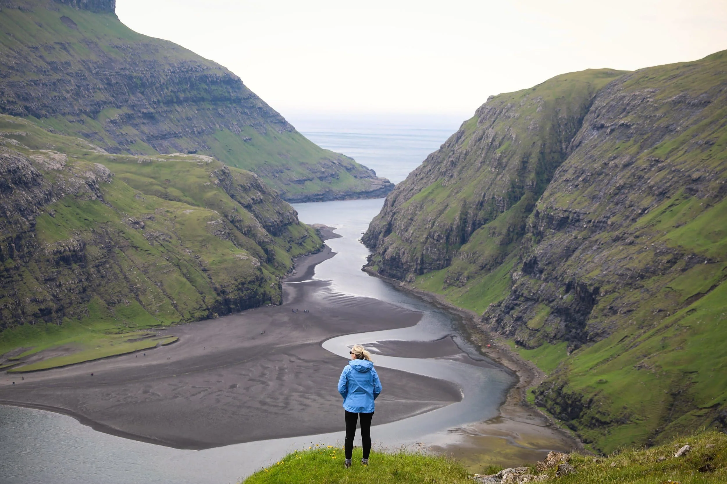
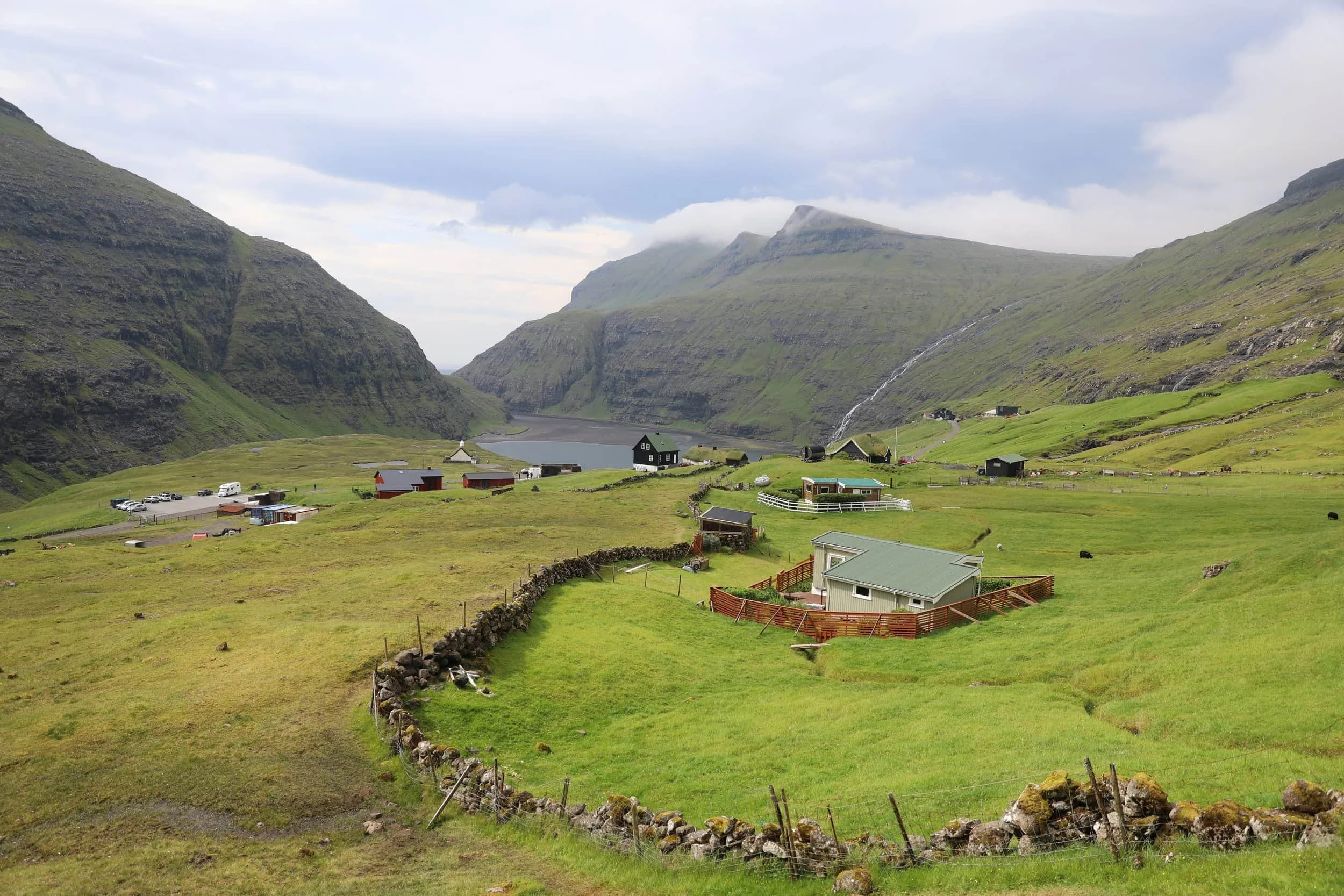
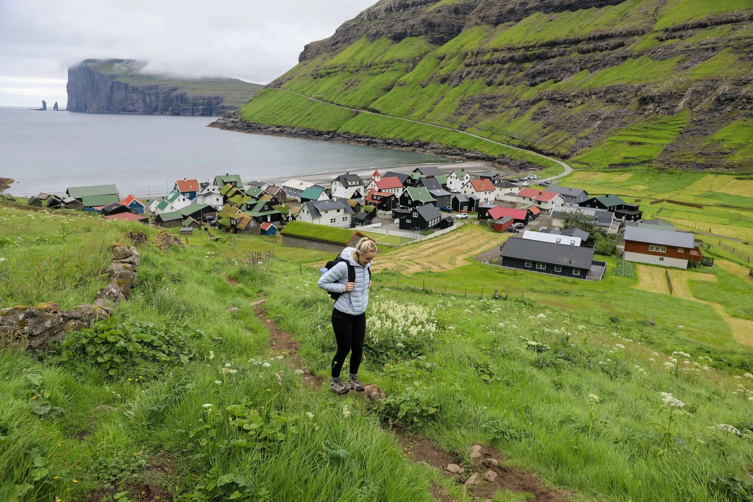
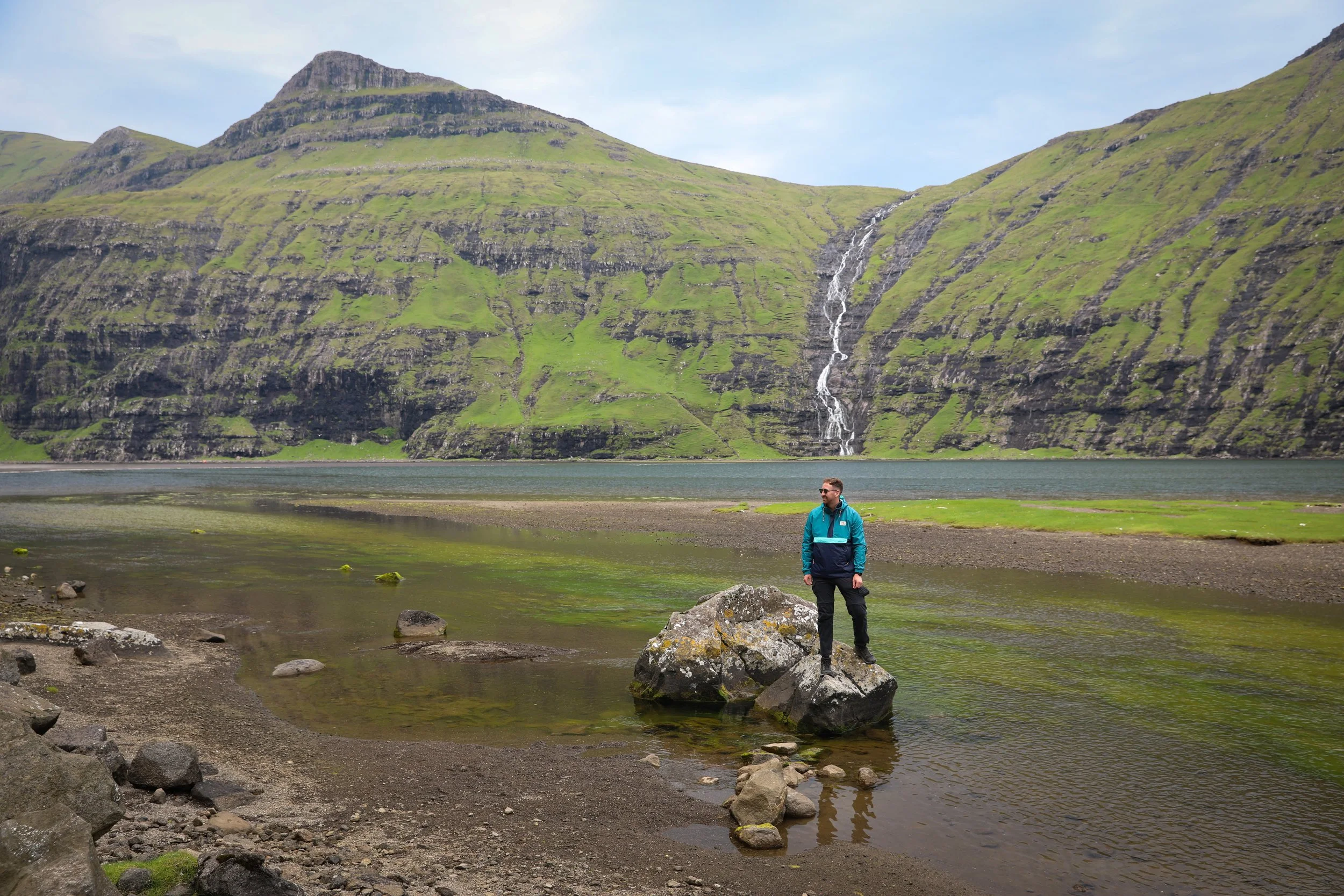
Starting in Saksun, the trail begins near the church and the historic farmstead of Dúvugarðar. You then follow the blue markers through the old gate, before climbing steeply out of the village. This section was extrmely slippery whilst we were there so take your time. As you gain height, you’ll get lovely views back over Saksun, its tidal lagoon and the narrow channel leading out to sea. We stopped along this part quite a few times to get some incredible photos of the lagoon below.
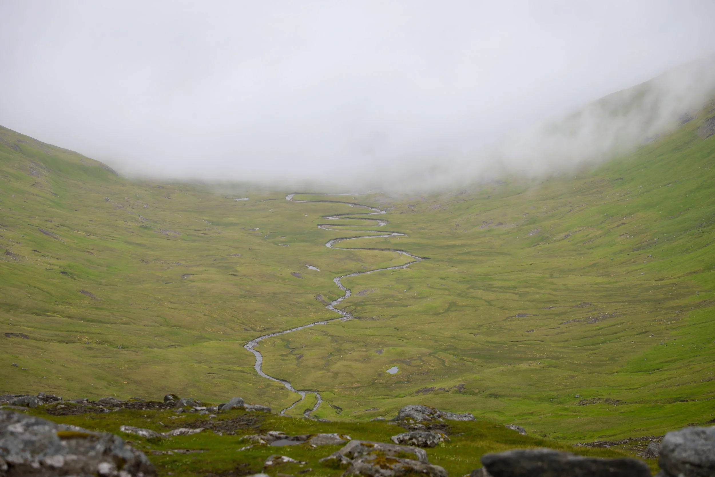
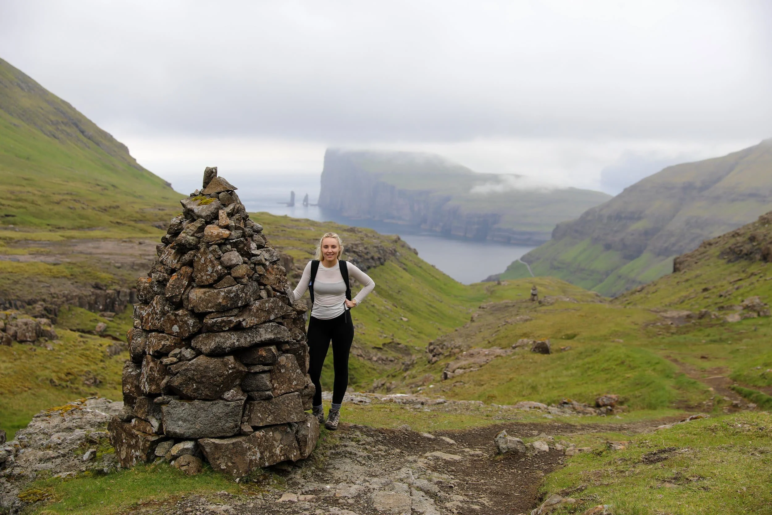
The route crosses a river before climbing the mountainside to Øksl, where a large cairn marks the plateau. Some sections on the climb can be difficult to make out, but from the cairn a clearer line of cairns leads towards Tjørnuvíksskarð, the high pass between the villages. From here, the trail descends into the valley all the way downhill towards Tjørnuvík. As the village comes into view, you’ll see the beach and the sea stacks Risin and Kellingin out across the water, which is quite epic.
The route is marked for much of the way, but it’s still a mountain walk across open, uneven ground. Expect a steep climb from Saksun, grassy paths, rocks underfoot and potentially wet or boggy patches. Take your time on the ascent and follow the cairns carefully, especially if visibility changes.
How Difficult is the Hike?
The Saksun to Tjørnuvík trail is generally rated moderate. The climb out of Saksun is the most demanding part, particularly before you reach the first cairn. Likewise is the descent section into Tjørnuvík after you pass the waterfalls.
I guess the main question around the difficulty comes into whether you plan to do a full out and back or just a one way hike, each option obviously having a big variance in potential fatigue.
Overall you definitely don’t need technical hiking skills to complete the trail, but you should be comfortable with a sustained uphill walk and a descent on uneven terrain. The weather can change quickly in the mountains, so choose a clear day and be prepared to turn back if conditions deteriorate.
How Long Does it Take?
The one-way route is around 7 km and takes approximately 2.5–3 hours to walk, depending on your pace and the conditions. Allow extra time for breaks and to enjoy the views over Saksun, the highlands and Tjørnuvík.
Because the trail connects two villages, plan how you’ll get back to your starting point before setting off. Saksun isn’t served by public transport, while buses to Tjørnuvík run from Oyrarbakki, so having a car or arranging a lift is useful. Alternatively you can complete the walk all the way back to the starting point doubling the time required to around 6 hours and the distance to 14km in total. Download an offline map before you go, and bring enough water and snacks for the walk.
What to Wear and Bring
The number one ite, you would want to consider is some sturdy hiking boots with good grip. The climb out of Saksun includes stones and rocks, and the grassy trail can be wet or slippery. There was also section where the stream ran across exposed rock, so being sure footed is essential. Bring a waterproof, windproof jacket and dress in layers, as the weather can feel very different on the exposed pass than it does in the villages.
Pack water and snacks, and make sure your phone is charged with an offline map downloaded. Stay on the marked route and follow the cairns, particularly on the early climb out of Saksun where parts of the path can be less clear.
Is Hiking the Saksun to Tjørnuvík Trail Worth it?
Yes, especially if you enjoy scenic walks between remote villages. The trail takes you from Saksun’s tidal lagoon and dramatic mountain setting, over the highlands to Tjørnuvík and its black-sand beach. It’s a rewarding way to experience this part of Streymoy on foot.
If you’re up for more of an adventure, I’d consider additing Mýlingur Hike to your route. You can follow the Saksun to Tjørnuvík trail for part of the way, then take the unmarked route towards Mýlingur. It adds a more remote, challenging element and, in my opinion, elevates the whole experience. Make sure you research the route carefully and only attempt the Mýlingur section in clear conditions.
You can read my complete guide to hiking to the Mýlingur Sea Cliffs here.
Our Experience Hiking the Saksun to Tjørnuvík Trail
We spent the morning exploring Saksun’s black-sand beach and tidal lagoon before driving around to the church side of the village. After looking around there, we set off on the hike. Finding the trailhead took a bit of searching: it’s tucked behind a few buildings, and the entrance gate isn’t immediately obvious. I’ve included a map pin to help you find the start.
The initial climb out of Saksun was a great way to begin. There’s a bench partway up the hill where we stopped for a breather, with a lovely view back towards the church and lagoon. From there, the trail continued higher along an exposed slope above the lagoon. We crossed a few streams along the way; they were fun to navigate, though some crossings felt a little precarious.
After reaching the turning point, we made our way up towards the saddle. The views opened up as we crossed over to the Tjørnuvík side, where Risin and Kellingin, the Giant and the Witch, came into view offshore. They looked beautiful from above the coast.
The descent began through a wide, waterlogged valley that gradually narrowed as we got closer to Tjørnuvík. The final section down into the village was steep, but once we reached the bottom, we took a rest and enjoyed the setting. Tjørnuvík is such a picturesque village, tucked into a cove beneath the mountains. After a break, we hiked all the way back to Saksun and then got a lot of well needed rest.
Related Posts:
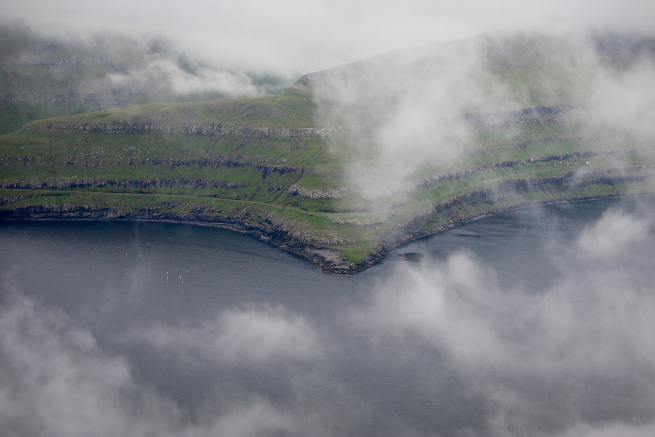
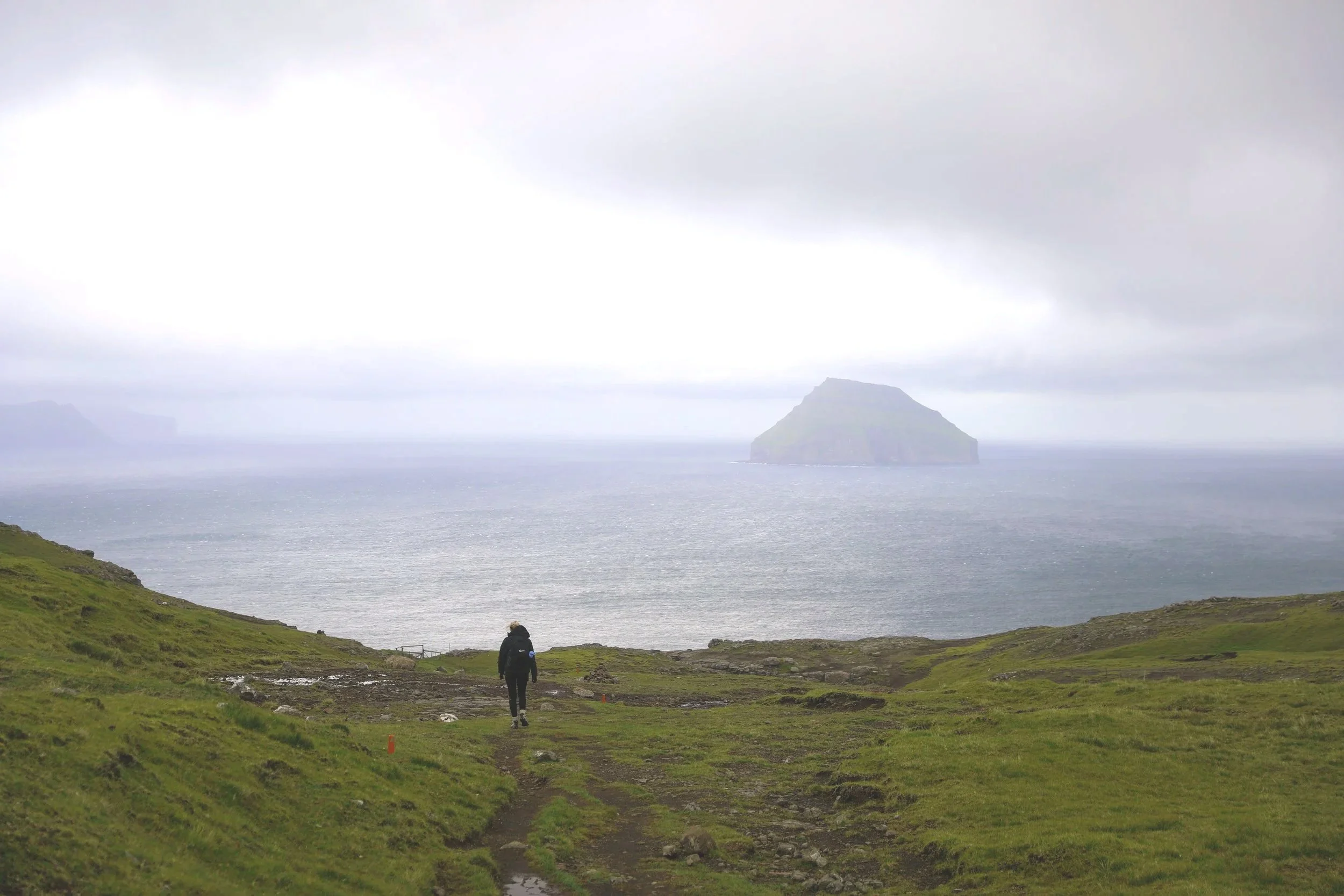
Drangarnir is a dramatic sea stack rising from the North Atlantic off the rugged coast of Vágar in the Faroe Islands. The experience begins with a short boat transfer that drops hikers at a remote landing point along the coast. From there, a rewarding hike leads across rolling green hills and exposed cliff paths toward the viewpoint overlooking Drangarnir. Along the way, sweeping ocean views, sheer cliffs, and powerful Atlantic swells immerse visitors in the raw, untamed landscapes that define the Faroe Islands.