
Trøllkonufingur: Hike to the Faroe Islands’ Witch’s Finger
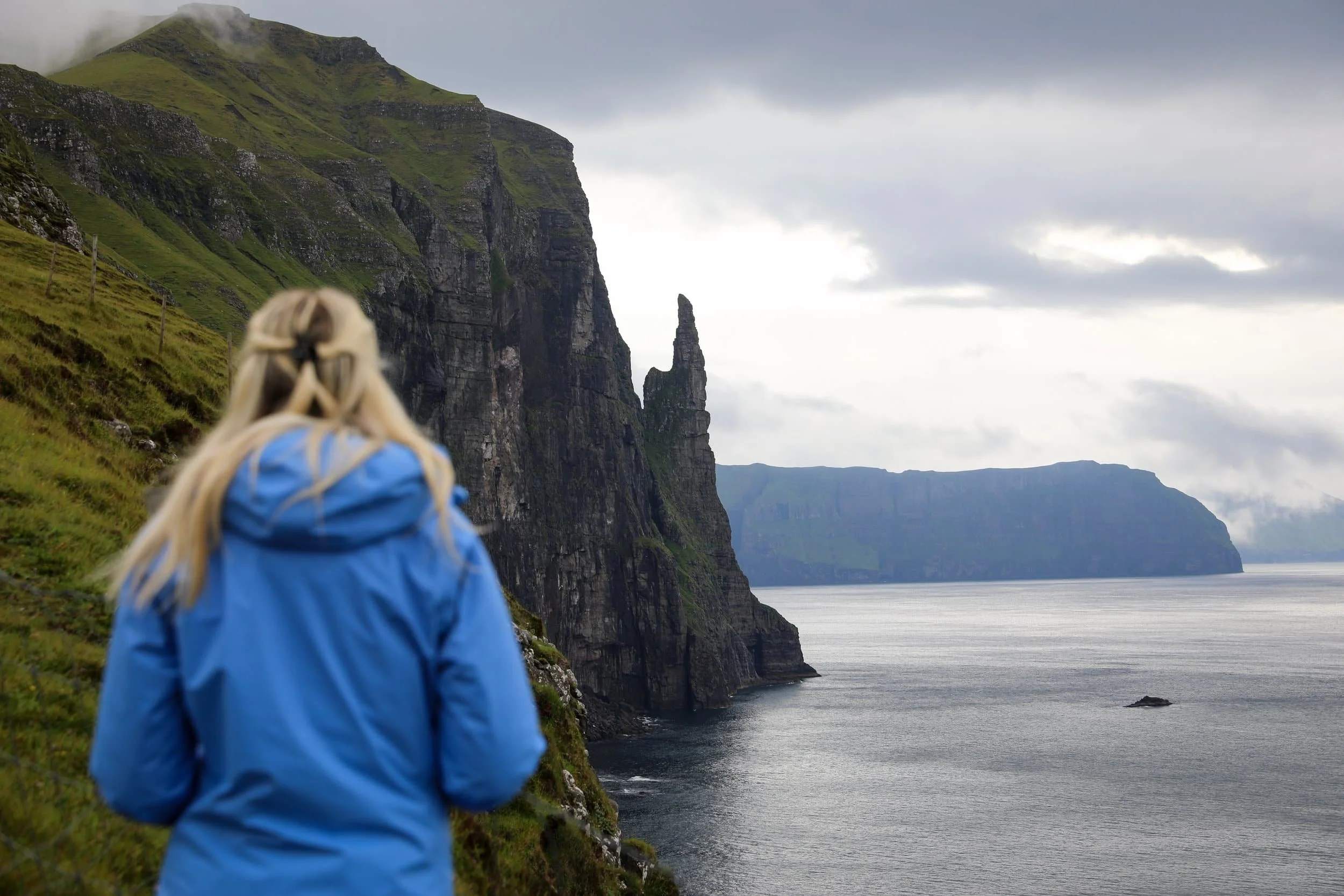
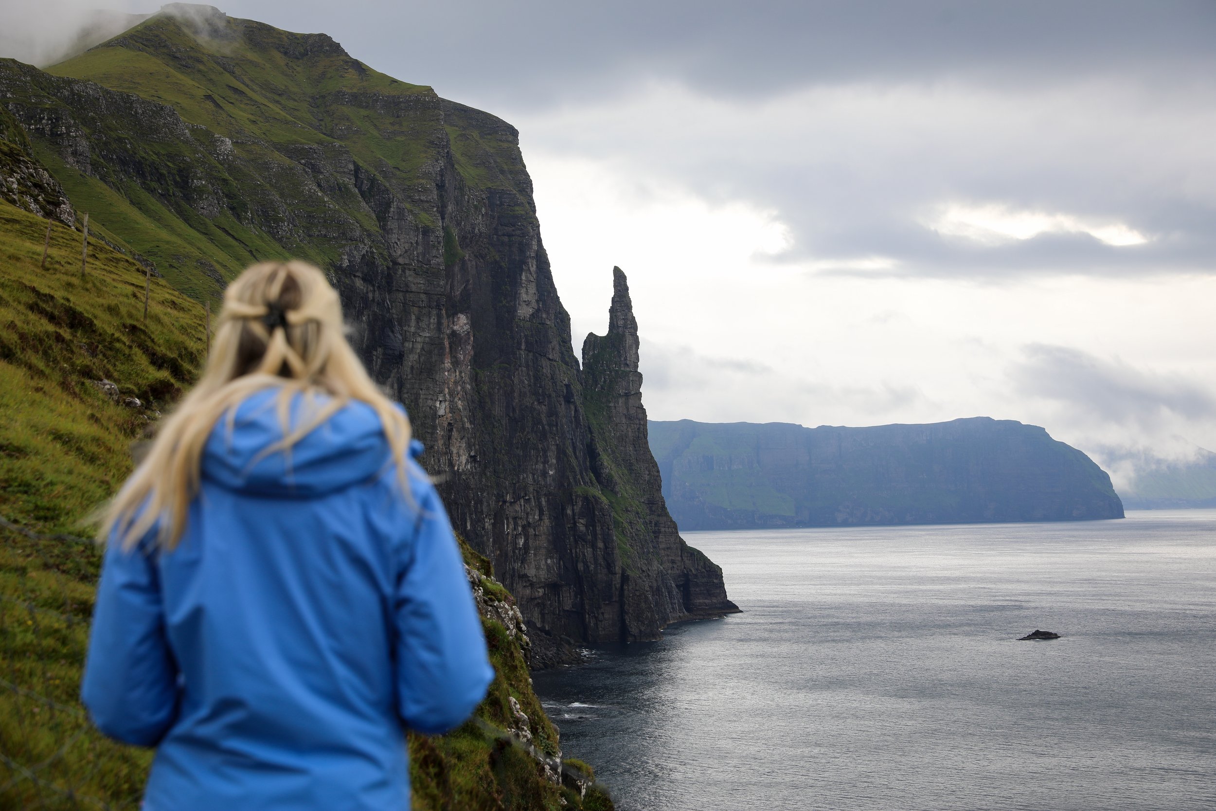
The Trøllkonufingur viewpoint is one of the most striking coastal sights on Vágar, with views of the famous sea stack rising from the North Atlantic.
Known as the Witch’s Finger, this dramatic rock formation has fascinated me since I first started planning a trip to the Faroe Islands.
The walk to the viewpoint is short, but the scenery feels enormous, with the rugged coastline stretching out around you. In this guide, I’ll share what to expect, how to find the viewpoint and what to know before visiting Trøllkonufingur.
Trøllkonufingur Hike Overview and Map
Trailhead: Follow signs from the carpark | Google Maps
Parking: location | Google Maps
Total Hiking Distance: 3 km | round trip
Total Hiking Duration: 20 minute walk | one way
Difficulty: Easy
Altitude: 313 meters above sea level
Price: Free entry
Highlights: Sweeping clifftop views of the North Atlantic, the dramatic Trøllkonufingur (Witch’s Finger) sea stack rising from the ocean below
Where is Trøllkonufingur?
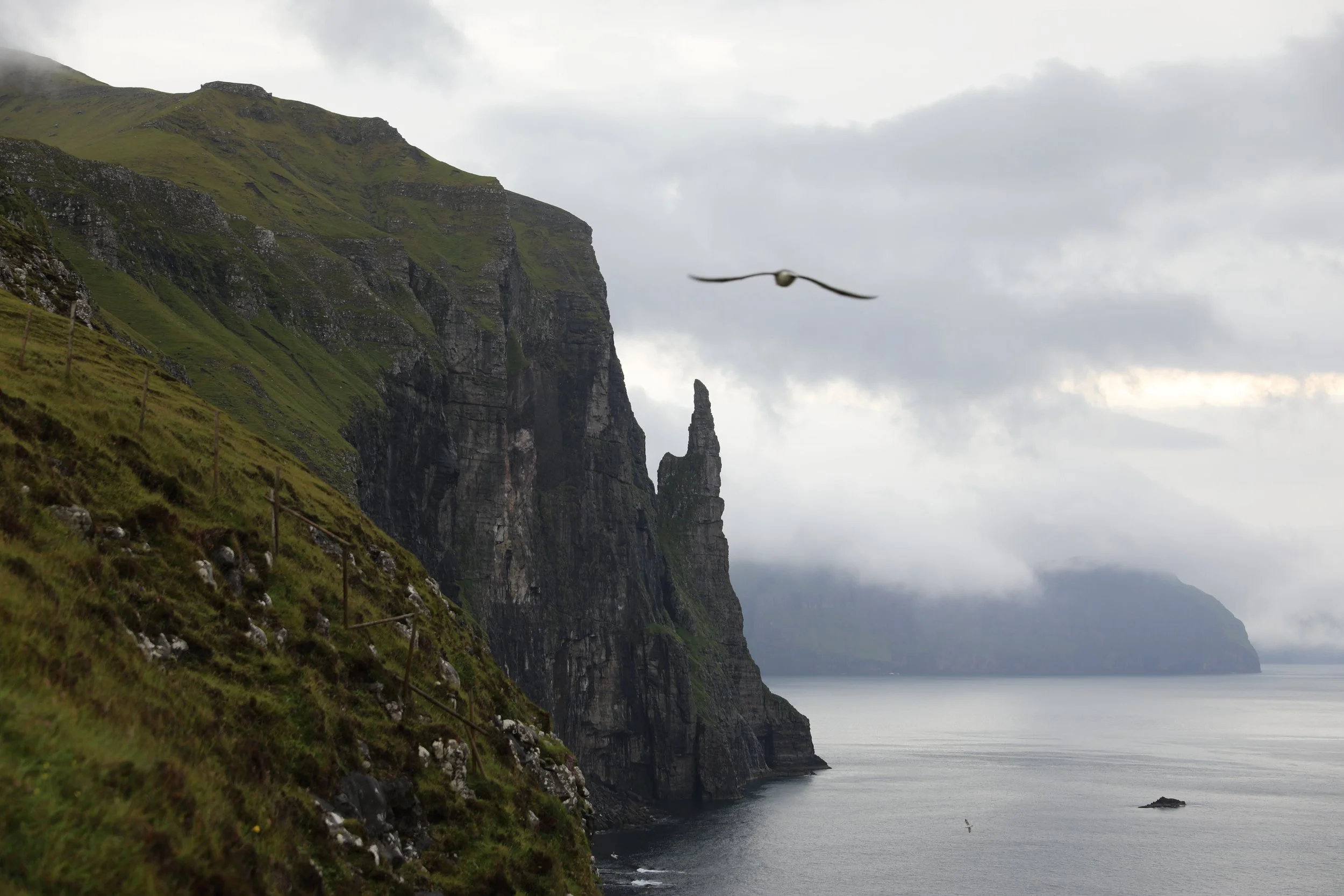
Trøllkonufingur is a 313-metre sea stack on the southeastern coast of Vágar, just east of the village of Sandavágur. Its name means “Witch’s Finger” or “Troll Woman’s Finger” in Faroese, inspired by its tall, finger-like shape rising beside the sea.
Vágar is home to several of the Faroe Islands’ best-known sights, making Trøllkonufingur easy to combine with other stops. You could visit Múlafossur Waterfall in Gásadalur, see the sea stacks of Drangarnir and Tindhólmur, or hike to Sørvágsvatn, the lake famous for appearing to hang above the ocean.
The Trøllkonufingur viewpoint is reached by a short walk from the designated parking area near Sandavágur. Visitors aren’t allowed to drive along the old road to the rock, so you’ll need to park and continue on foot. The walk takes around 20 minutes each way and offers views of the dramatic coastline and the monolith.
How to Get to Trøllkonufingur
Getting to Trøllkonufingur involves travelling to Sandavágur, on the southeastern side of Vágar, around 40 km from Tórshavn. You’ll need to plan how to reach the viewpoint before setting out. The main options are hiring a car or travelling by public transport; I’ve outlined both below.
Hire Car: Self-Drive to Sandavágur
Hiring a car is the easiest way to reach Trøllkonufingur and explore Vágar at your own pace. Avis, Budget and Europcar have locations at Vágar Airport and in central Tórshavn. Car hire can be one of the biggest trip expenses, so compare prices before booking.
The drive to Sandavágur takes you through the subsea tunnel linking Vágar with Streymoy. From the village, follow signs to the designated parking area before the old road to Trøllkonufingur.
You’ll need to leave your car there and walk the rest of the way.
Alternatively you may be staying in Sørvágur which is a fairly central town on Vágar which will save you some time commuting.
The journey details are:
Distance: Around 40 km from Tórshavn
Drive time: Approximately 40 minutes
Roads: Paved, so a 2WD is suitable
If it fits your budget, a hire car makes it much easier to visit Trøllkonufingur alongside other sights on Vágar.
Public Transport: Bus to Sandavágur
If you are on a buget or not so keen on hiring a car then you can travel from Tórshavn to Sandavágur by public bus, but you’ll need to walk from the village to the viewpoint:
Take route 300 between Tórshavn and Vágar Airport, which stops in Sandavágur.
From Sandavágur, walk to the designated parking area and continue along the route to Trøllkonufingur.
Check the Strandfaraskip Landsins website for current routes and timetables, as services vary by day.
The bus is a budget-friendly option if you have time for the walk and can plan your visit around the timetable.
Trøllkonufingur Hike Map
This Trøllkonufingur hike map shows the route from the designated parking area near Sandavágur to the viewpoint overlooking the sea stack. The walk is around 1.4 km each way, so you can use the map to get a sense of the route before setting out.
Where to Stay for Visiting Trøllkonufingur
Sandavágur and Sørvágur are both convenient bases for visiting Trøllkonufingur and exploring Vágar. Staying in Sandavágur puts you within walking distance of the viewpoint, while Sørvágur offers easy access to the airport, the Mykines ferry and boat trips to Drangarnir. The two villages are only about a 10-minute drive apart, so either makes a good base for exploring the island. I’ve included accommodation options in both below.
Best Places to stay in Sandavágur
Sandavágur is a convenient base for visiting Trøllkonufingur and exploring southern Vágar. You can walk from the village to the viewpoint, and Sandavágur is just south of Vágar Airport, making it an easy place to stay when arriving on or leaving the island.
Sørvágsvatn, the famous lake that appears to hang above the ocean, is also very close. The trailhead for the hike to its viewpoint at Trælanípa is only a short drive from Sandavágur.
The best places to stay in Sandavágur are:
Atlantic View Guest House - This apartment in Sandavágur has sea and mountain views, a fully equipped kitchen, private bathroom and free parking. With a private entrance and outdoor seating area, it’s a comfortable base for exploring Vágar.
Hjallurin - A cosy, compact stay in Sandavágur, with a kitchenette, private bathroom and balcony overlooking the sea. It also has a terrace and free parking, making it a nice option for couples looking for a quiet place near the coast.
Best Places to stay in Sørvágur
Alternatively, Sørvágur is another great base on Vágar, especially if you’re planning to visit Múlafossur Waterfall, take the ferry to Mykines or join a boat trip to Drangarnir. We stayed there and found it convenient, with the airport nearby, a supermarket in town and a good location for exploring the island.
Sandavágur is only about a 10-minute drive from Sørvágur, so you can still visit Trøllkonufingur and hike to the Sørvágsvatn viewpoint on a day trip.
The best places to stay in Sørvágur are:
Cottages by the Sea - These cosy, self-contained cottages are set beside the marina, with sea views and a terrace. Each has a kitchenette, bathroom, living area with a sofa bed and an upstairs sleeping loft, making them a practical option for couples, families or small groups.
Hotel Vagar - A convenient hotel near Vágar Airport, with comfortable rooms, free Wi-Fi and an on-site restaurant serving breakfast. It’s a good choice if you want a straightforward stay close to the airport and within easy reach of Sørvágur and the island’s main sights.
Featured Faroe Islands Posts:
When to Hike Trøllkonufingur
You can visit Trøllkonufingur year-round, but a clear day makes a big difference to the views of the sea stack and coastline. The weather in the Faroe Islands can change quickly, so check the forecast before setting out and be prepared for wind, rain or low cloud.
If your schedule is flexible, choose a day with good visibility and consider going in the late afternoon, when the softer light can make the coastal scenery especially beautiful. If fog hides the rock when you arrive, you may want to wait a little or return when conditions improve.
What is Hiking Trøllkonufingur Like?
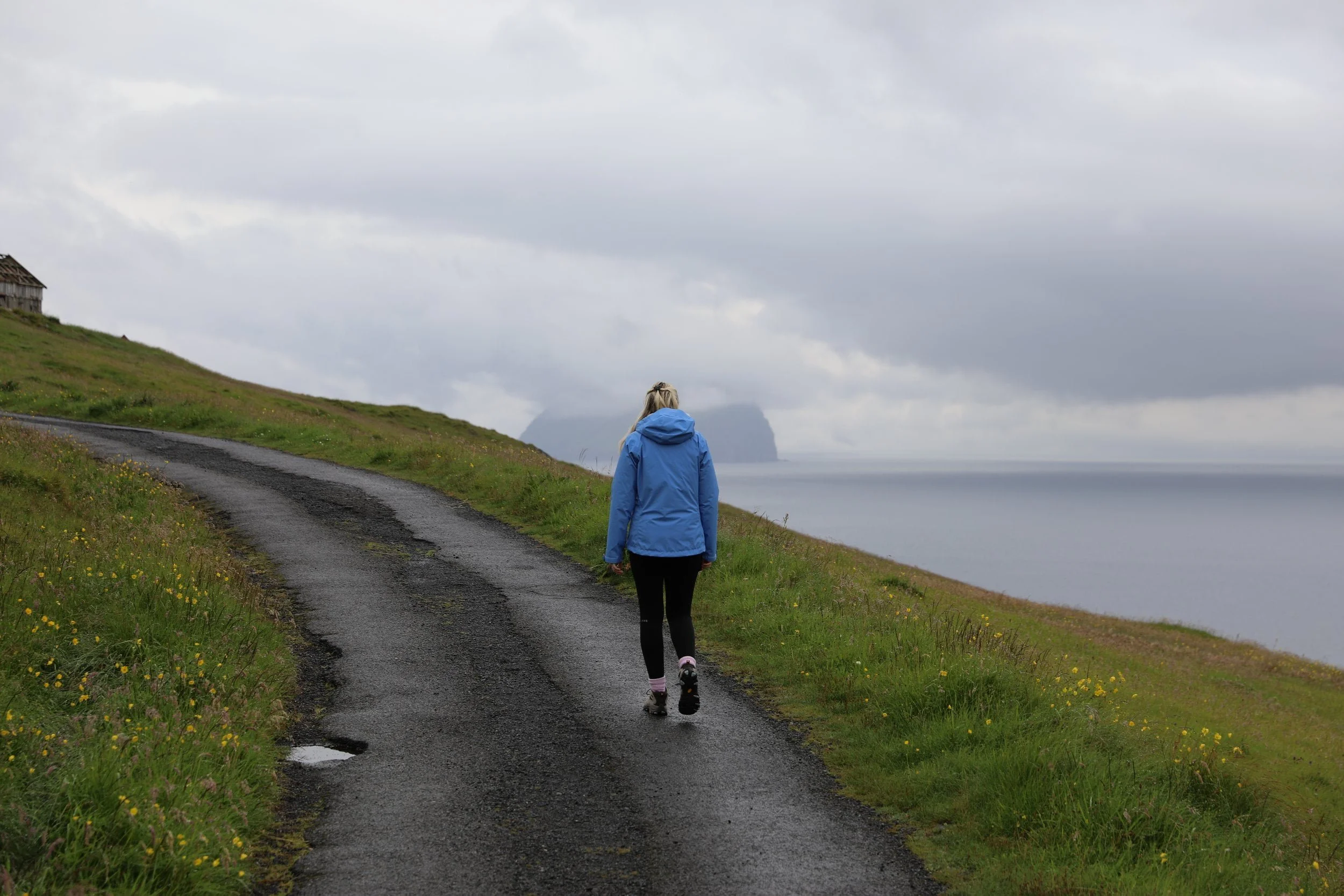
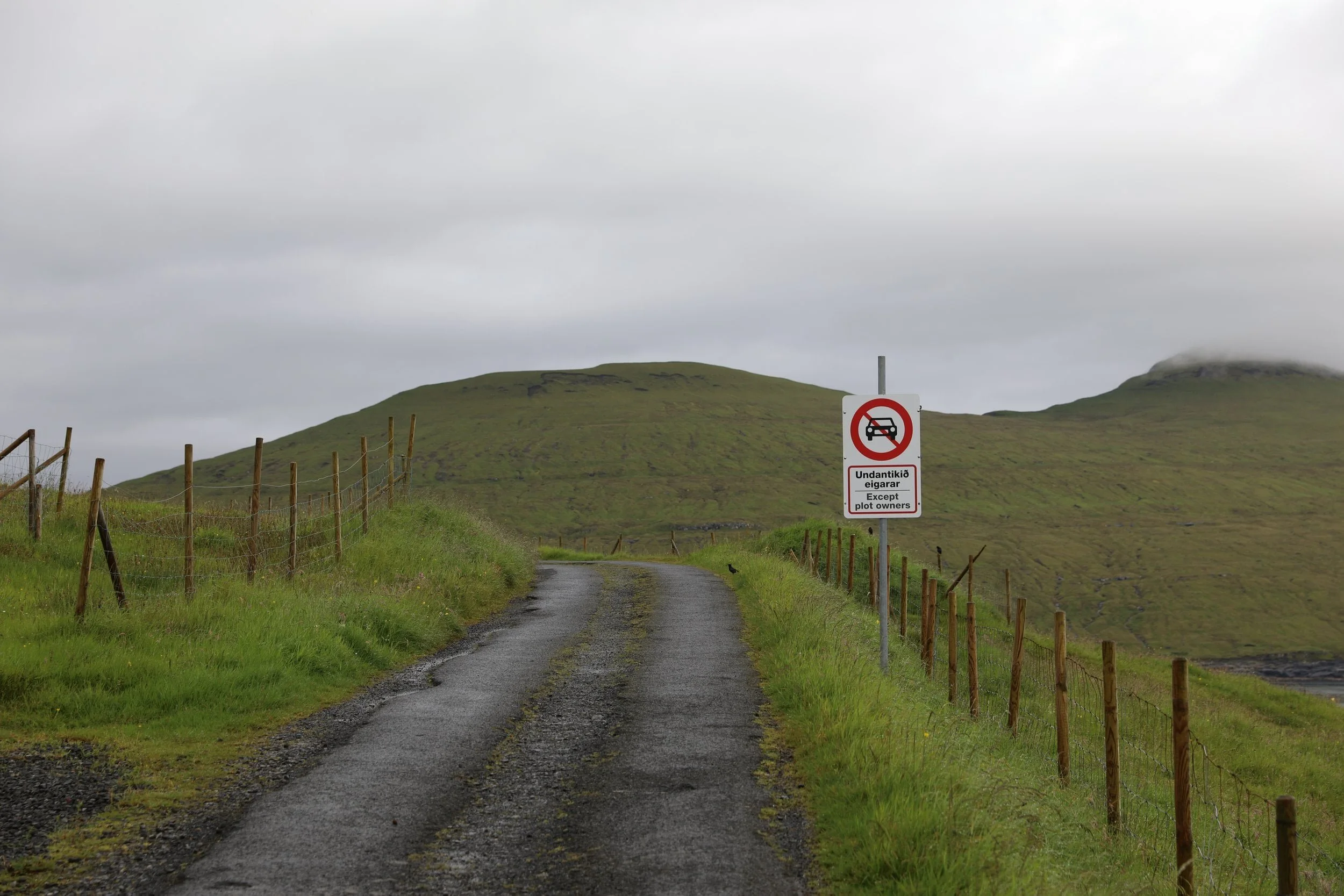
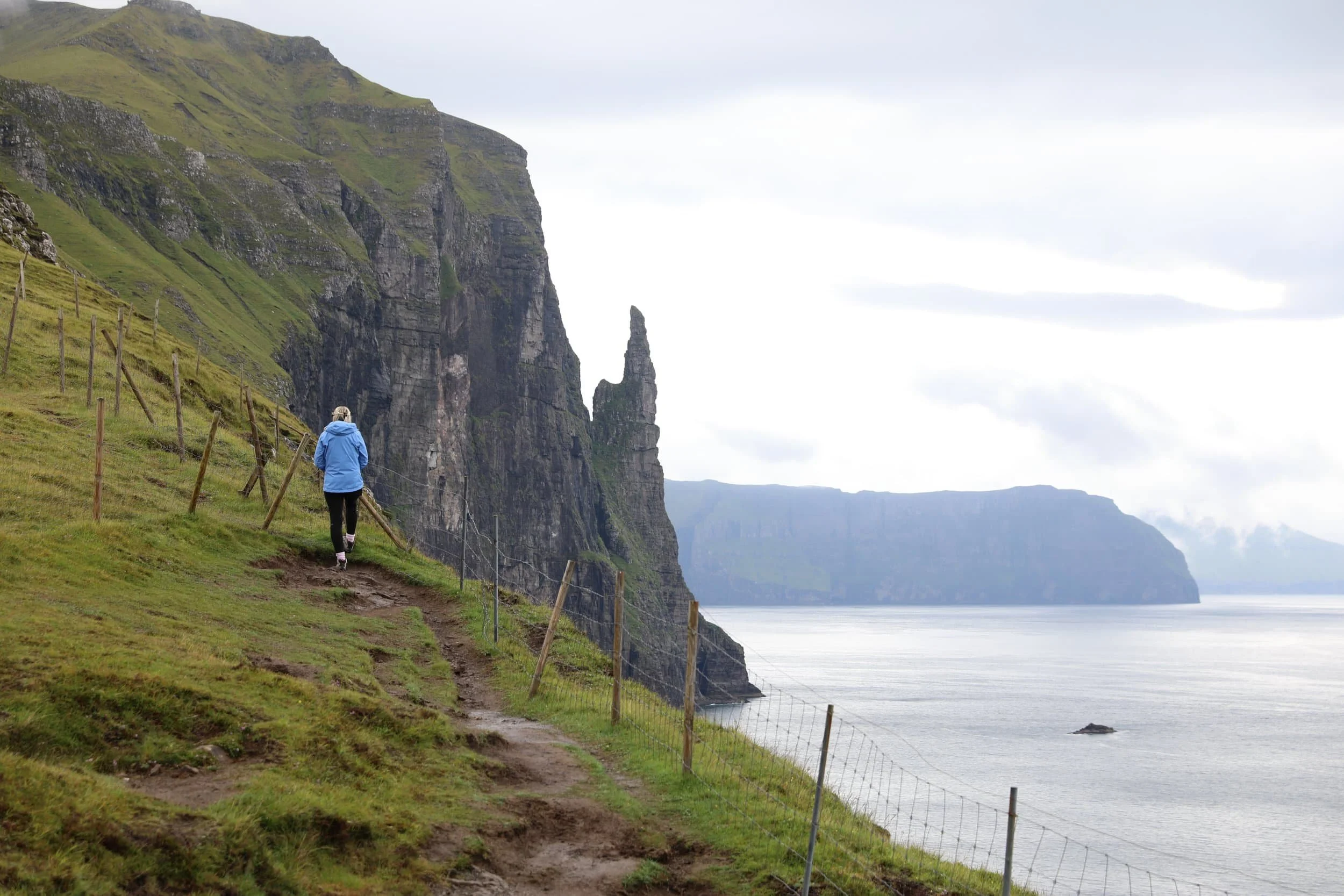
From the parking area near Sandavágur, the route follows a sealed road towards the coast before passing through a gate. Beyond it, the path crosses open, uneven ground to the viewpoint, where you can look out towards Trøllkonufingur rising above the North Atlantic.
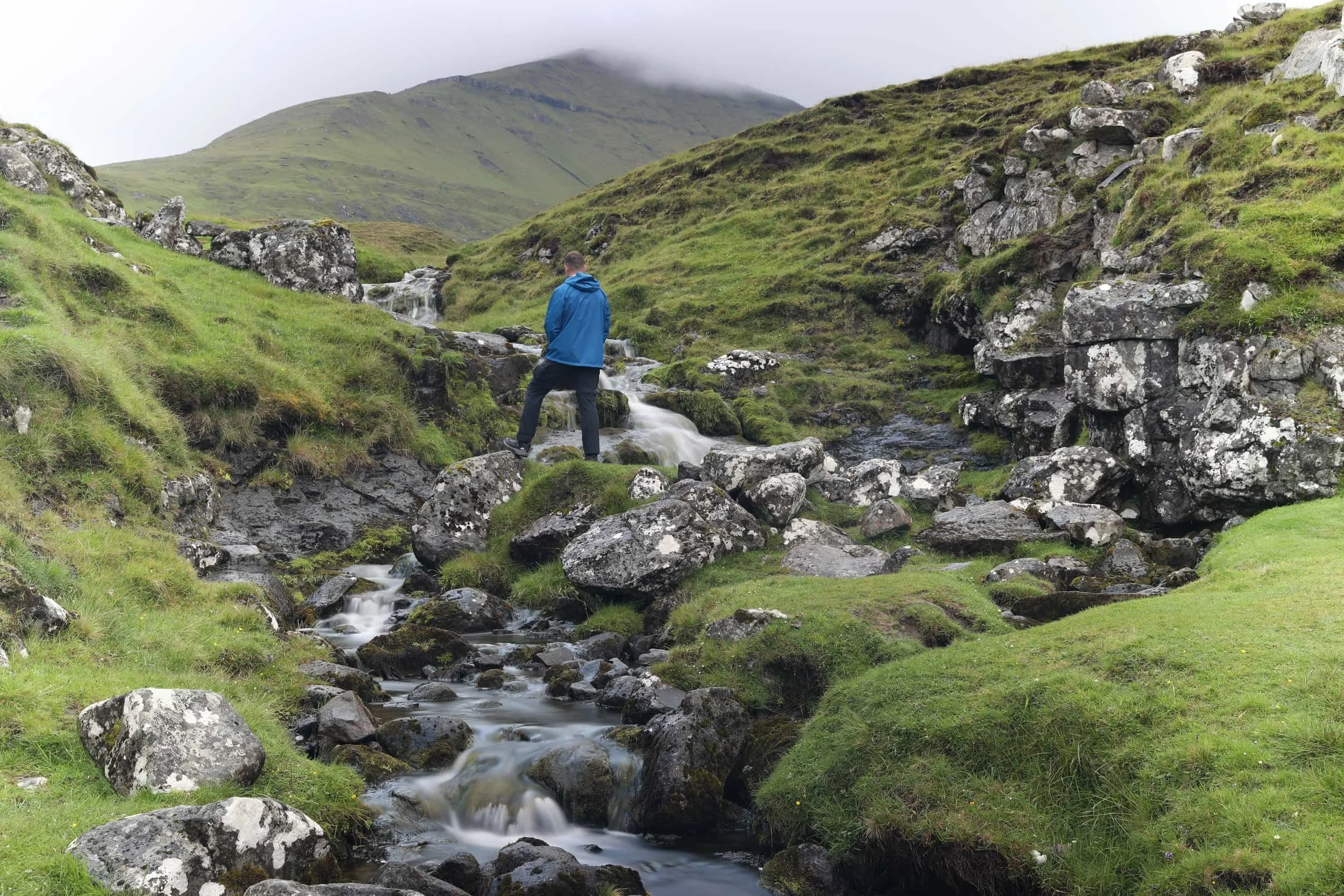
This is also the part where a small stream runs through a rocky section.
The final stretch was very muddy when we visited, but the sea stack makes a striking focal point against the surrounding cliffs and ocean.
Note that the viewpoint itself is quite restricted; you can only move around within a fenced area, likely to protect visitors near the huge cliff face and keep them clear of grazing livestock. Stay on the marked route as you approach it.
How Difficult is the Hike?
This is more of a short walk than a hike and should be manageable for most visitors. The route is clearly marked the entire way, and most of it follows a sealed road. The main challenge is the final stretch beyond the gate, where the ground can be uneven and boggy. It was extremely muddy when we visited, so I’d wear hiking boots for better grip and to keep your feet dry.
Overall the walk was quite easy, meaning that it would quite possible to include this as a part of a larger day trip to Sørvágsvatn.
How Long Does it Take?
Allow around 20 minutes each way to walk from the parking area to the viewpoint, or roughly 40 minutes of walking time for the return trip. I’d set aside about an hour overall so you have time to pause, enjoy the views and take photos.
The route is around 1.4 km each way. Visitors are asked to park before the old road and continue on foot. There are clear signs indicating this.
What to Wear and Bring
As previously stated I would suggest wearing sturdy, waterproof hiking boots with good grip. The final stretch beyond the gate can be boggy and extremely muddy, as we found when we visited. I’d also bring a waterproof, windproof jacket and dress in layers, as the viewpoint is exposed and Faroese weather can change quickly.
Make sure that you bring water and anything else you’ll need for the walk as there is nowhere to buy anything once you leave the townsite.
Is Hiking to Trøllkonufingur Worth it?
Absolutely, it’s an easy, free stop to add to a day trip around Vágar.
The walk takes around 40 minutes return, and if you’re already planning to visit Sørvágsvatn, stopping at the Trøllkonufingur viewpoint is a no-brainer. The short walk brings you to a fenced viewpoint overlooking the dramatic sea stack and coastline without taking much time out of your day.
There are definitely more dramatic hikes in the Faroe Islands, such as Mýlingur, but Trøllkonufingur is worthwhile for a different reason. It’s a short, straightforward walk with a striking coastal view. Since it takes little time and costs nothing, it’s easy to pair it with other sites around Vágar.
Our Experience Hiking to Mýlingur
We set off for Trøllkonufingur first thing in the morning, hoping to enjoy the viewpoint before the day got busy. Even though we were visiting during peak season in August, we had the whole place to ourselves.
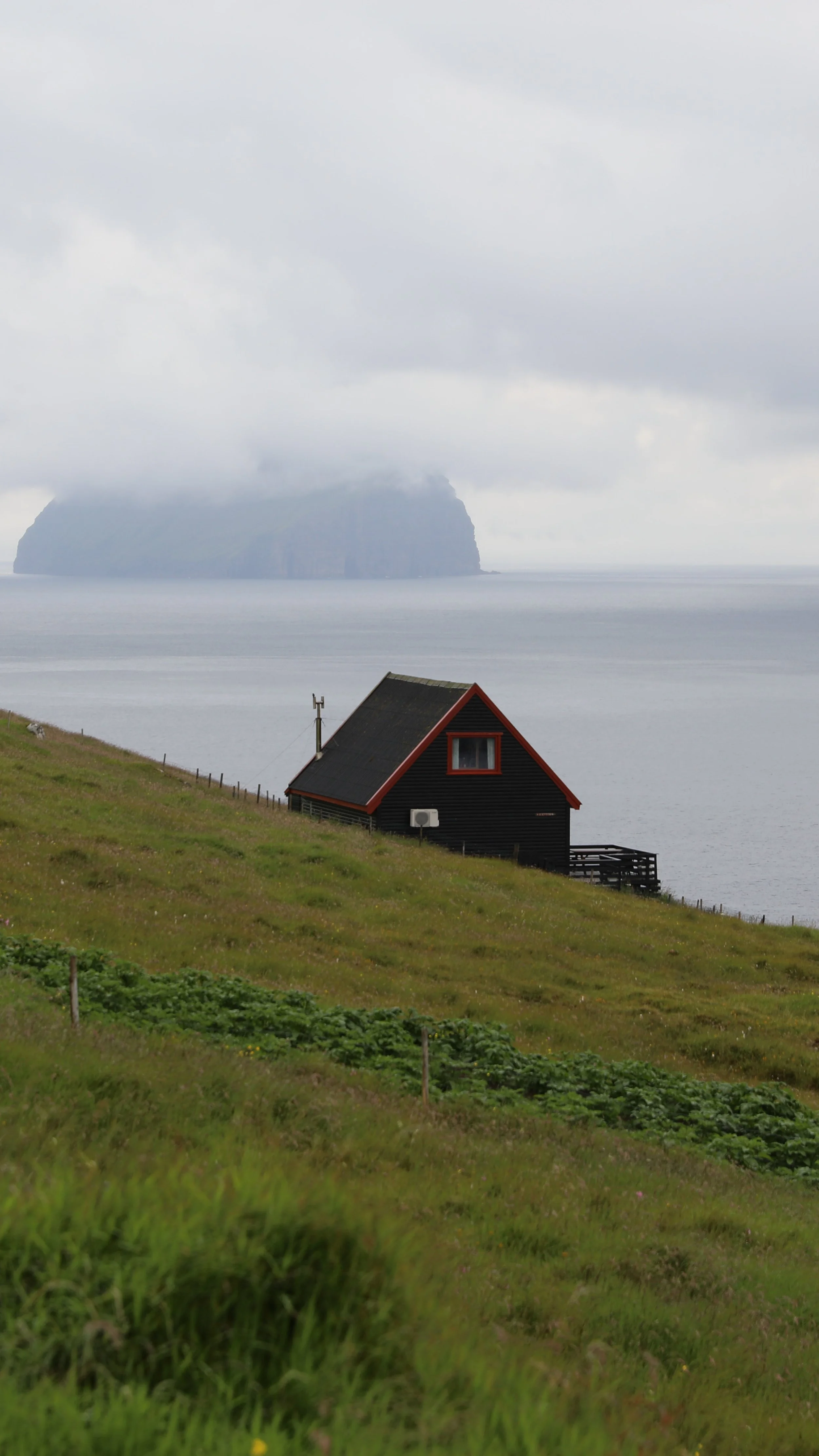
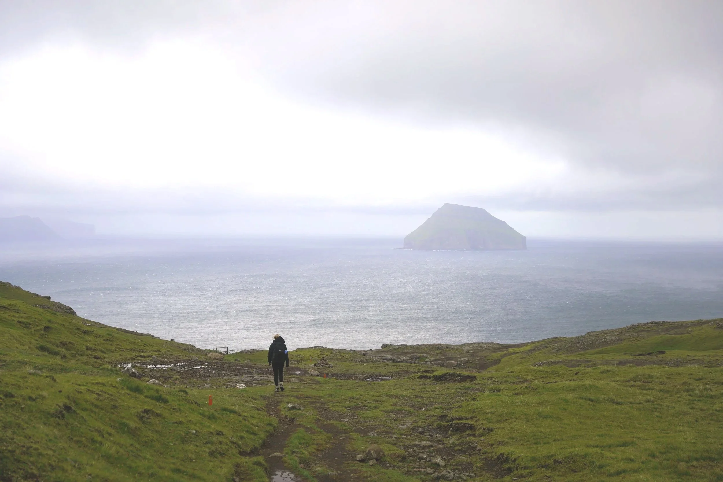
The walk was straightforward, with lovely coastal scenery along the way and views across the water towards Koltur. As we got closer, we reached a gate with a small stream running through the landscape. It was such a peaceful spot that we stopped for a moment before continuing along the muddy final stretch.
At the viewpoint, we had time to take in the sea stack and coastline without anyone else around. I even flew my drone for a while, which gave me a chance to capture the dramatic shape of Trøllkonufingur from above. It was a simple but memorable stop on our road trip around Vágar.
Where to Next
Sørvágsvatn: Whilst on Vagar its worth visiting Sørvágsvatn, which is only an 8 minute drive away. Sørvágsvatn is a dramatic clifftop lake known for its surreal illusion of hovering above the ocean below.
Múlafossur Waterfall: About a 25-minute drive from Sandavágur, the stunning Múlafossur Waterfall plunges roughly 30 metres straight into the Atlantic Ocean, making it one of the Faroe Islands’ most iconic and photographed natural landmarks.
Related Posts:
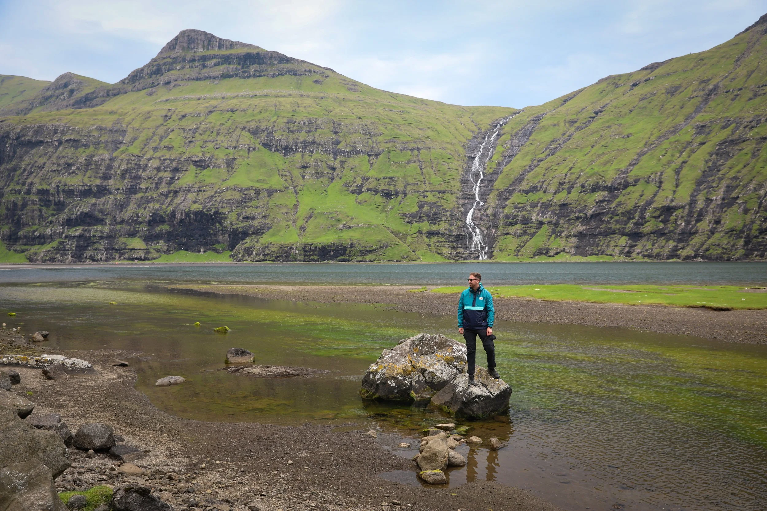
Drangarnir is a dramatic sea stack rising from the North Atlantic off the rugged coast of Vágar in the Faroe Islands. The experience begins with a short boat transfer that drops hikers at a remote landing point along the coast. From there, a rewarding hike leads across rolling green hills and exposed cliff paths toward the viewpoint overlooking Drangarnir. Along the way, sweeping ocean views, sheer cliffs, and powerful Atlantic swells immerse visitors in the raw, untamed landscapes that define the Faroe Islands.