
Guide to Hiking to Kallur Lighthouse, Kalsoy, Faroe Islands
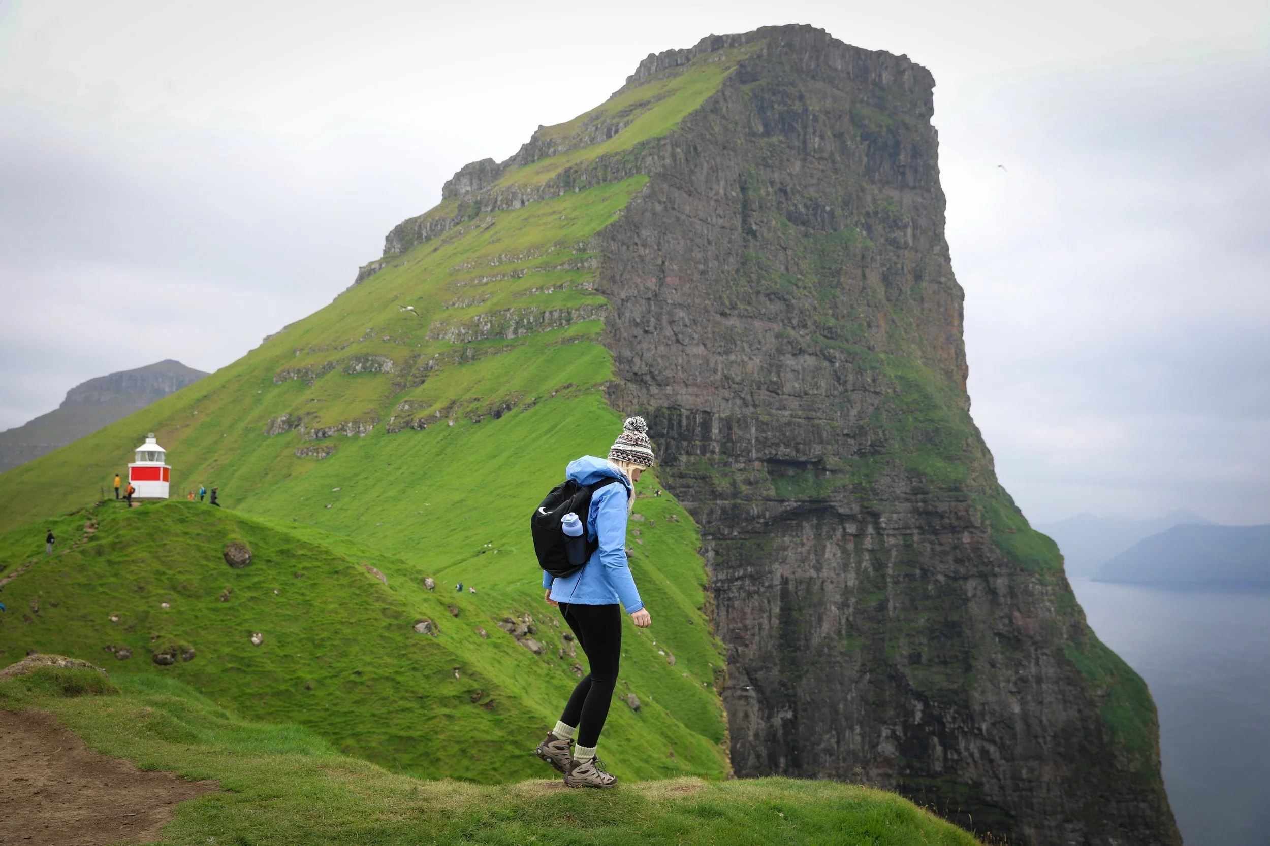
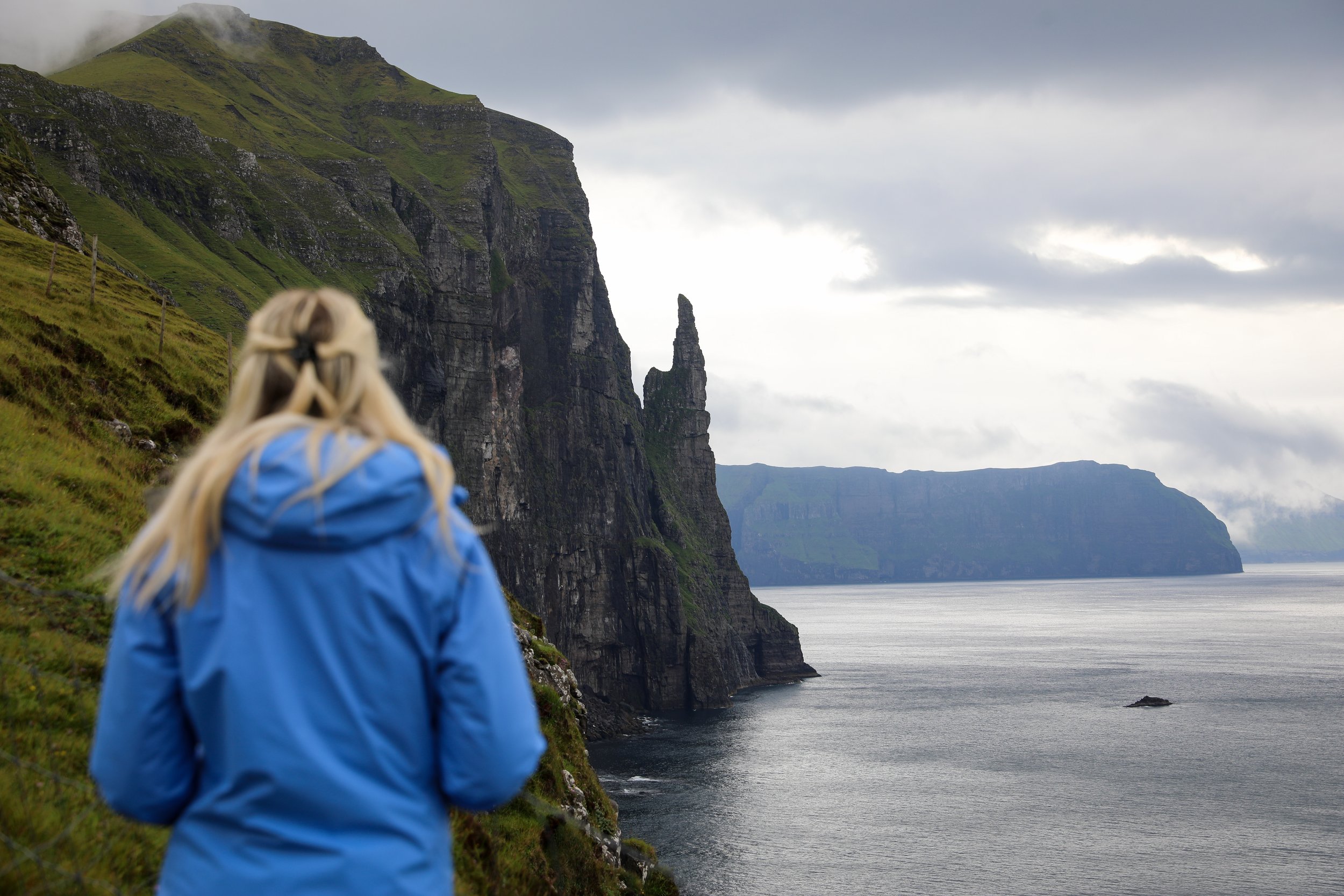
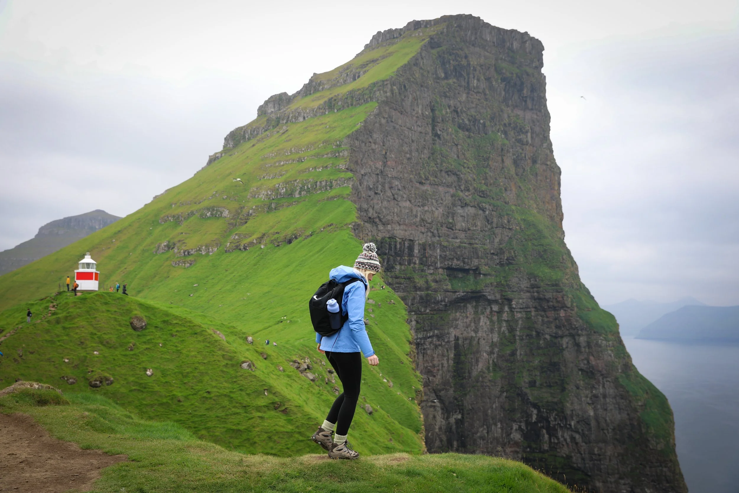
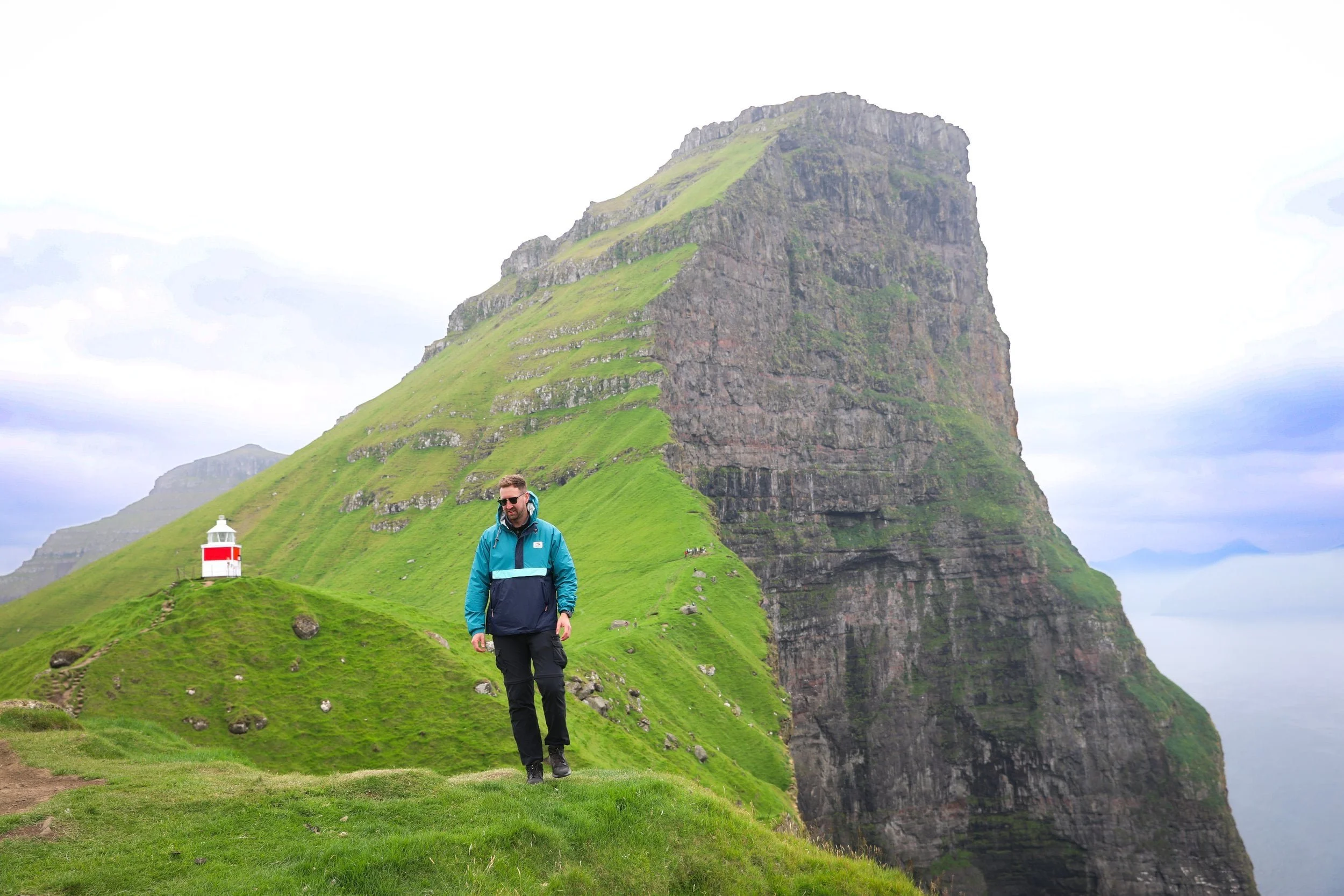
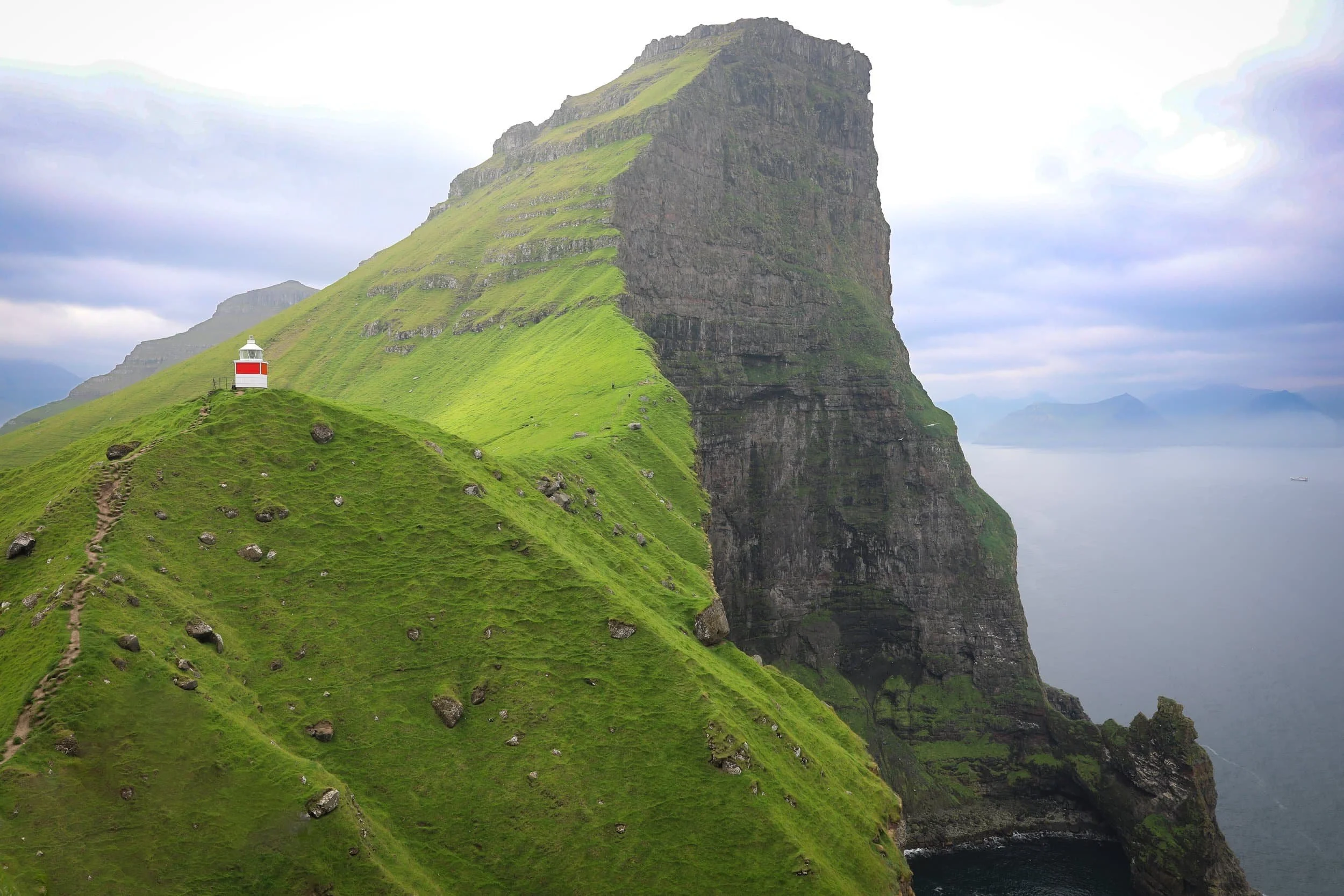
I’d been manifesting a visit to Kallur Lighthouse for years, and the view from Kalsoy’s dramatic cliffs lived up to every expectation. The green ridgeline, the little lighthouse and the North Atlantic stretching beyond the neighbouring islands made this one of my favourite stops in the Faroe Islands.
Planning your own visit? This guide covers what the hike is like, how long to allow, what to expect along the way and the practical details to help you prepare for the trail.
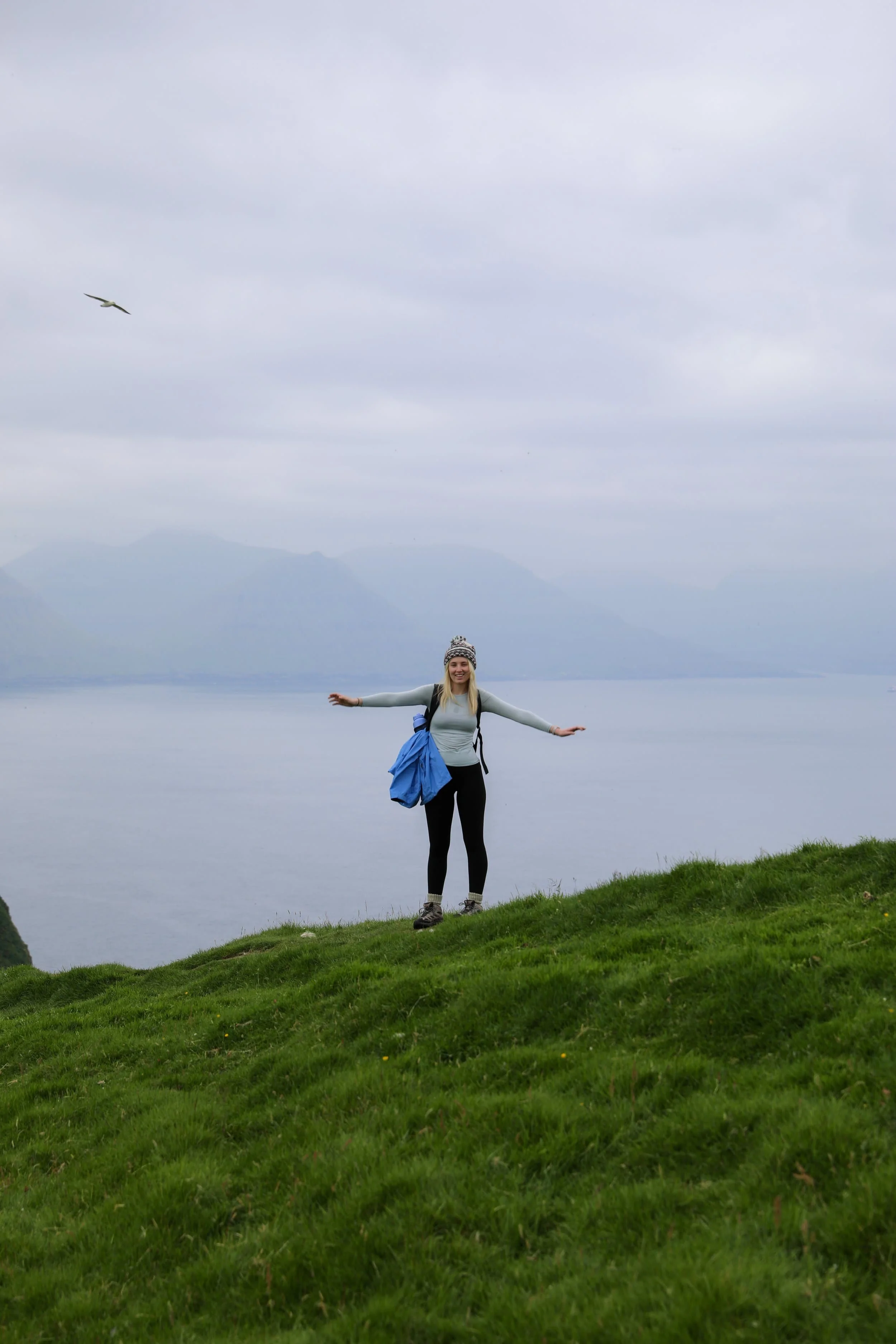
Kallur Lighthouse Hike Overview
Trailhead: Follow signs from Trøllanes small townsite “Kallur” | Google Maps
Bus Stop: town centre | Google Maps
Total Hiking Distance: 4.8 km | round trip
Total Hiking Duration: 1 hour hike | one way
Difficulty: Moderate
Altitude: 370 meters above sea level
Price: 200 DKK for Adults and 100 DKK for Children
Highlights: Views of neighbouring islands Kunoy, Eysturoy, and Viðoy, the iconic Kallur Lighthouse
Where is the Kallur Lighthouse?
Kallur Lighthouse is on the northern tip of Kalsoy, one of the Faroe Islands’ northern islands. It stands above Trøllanes, a small village surrounded by steep mountains and rugged coastline.
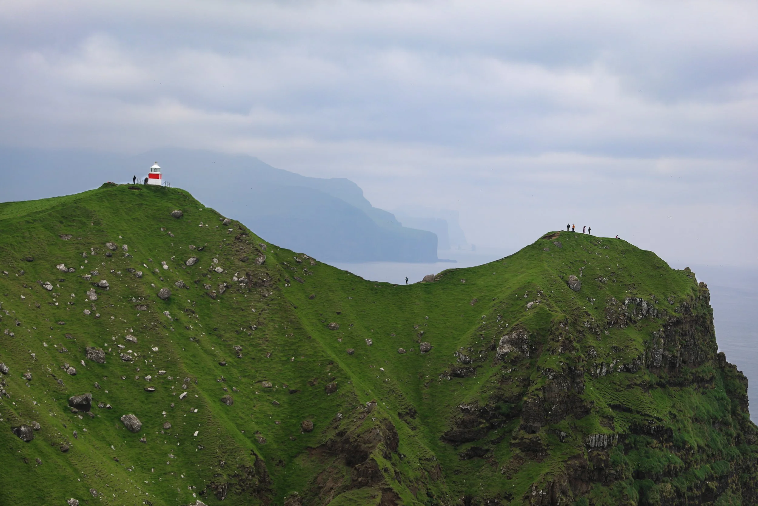
Kalsoy is long and narrow, with dramatic ridgelines running down its spine and deep valleys separating its villages. The landscape feels remote and exposed, with the North Atlantic visible on either side of the island. Kallur Lighthouse sits at the end of a narrow headland, where the land drops steeply into the sea.
The nearest town is Klaksvík, on the neighbouring island of Borðoy. Many visitors stay there, where there’s a wider choice of accommodation, restaurants and shops, while exploring Kalsoy on a day trip.
This rugged setting is a big part of what makes Kallur so memorable. From the lighthouse and nearby viewpoints, you can take in the surrounding cliffs, mountain ridges and open ocean.
How to Get to Kallur Lighthouse
The Kallur Lighthouse hike starts in Trøllanes, on the northern end of Kalsoy. To get there, travel from Klaksvík by ferry to Syðradalur, then continue across the island by hire car or public bus. The ferry and bus schedules vary by season and day, so check the Strandfaraskip Landsins (SSL) timetable before planning your visit.
To be honest the whole process looks a little bit tedious but it’s much easier then it appears.
Ferry from Klaksvík to Kalsoy
The ferry to Kalsoy leaves from the harbour in central Klaksvík. You can drive or walk to the ferry port, leave your hire car on the mainland and board as a foot passenger.
The crossing to Syðradalur takes around 20 minutes. From there, bus 506 travels north to Trøllanes, stopping at Mikladalur on the way. The bus is timed to connect with ferry arrivals, making it a straightforward way to reach the trailhead.
Check the route 56 ferry timetable and route 506 bus timetable together before you go, as services vary by season and day. The journey details are:
Ferry route: Klaksvík to Syðradalur
Ferry crossing: Around 20 minutes
Bus route: Syðradalur to Trøllanes, via Mikladalur
Timetables: Check the ferry and bus schedules together, including return connections
Tickets can be purchased in advance on the Strandfaraskip Landsins website.
I would highly reccommend booking your tickets for the ferry well in advance especially if you are looking to go through peak season as it can sell out.
Public Bus from Syðradalur to Trøllanes
After arriving in Syðradalur, walk from the ferry to the waiting bus. Route 506 travels across Kalsoy to Trøllanes, stopping in Mikladalur, where you can visit the Seal Woman statue. The bus journey takes around 30 minutes.
The bus is scheduled to connect with the ferry just make sure you check the timetable for your travel date and allow enough time in Trøllanes to complete the hike before your return bus and ferry.
Virtually everyone on Kalsoy will be doing the same thing so it’s quite easy to just follow the crowd.
Bus route: Syðradalur to Trøllanes
Journey time: Around 30 minutes
Stops: Includes Mikladalur
Timetable: Check the route 506 bus timetable
Tickets: Check current fares and payment options on the Strandfaraskip Landsins, as these can change.
Why You Don’t Need to Take Your Hire Car on the Ferry
For a day trip to Kallur Lighthouse, I wouldn’t recommend taking your hire car across to Kalsoy. It costs extra to bring a vehicle on the ferry, and there’s little added benefit when the public bus connects with ferry arrivals and takes you to Trøllanes. You can leave your car in Klaksvík and travel as a foot passenger. Taking your own car may make more sense if you’re staying overnight and want the flexibility to explore the island at your own pace.
Kallur Lighthouse Hike Map
Kallur Lighthouse sits on the northern tip of Kalsoy, above the village of Trøllanes. The map below shows its location in relation to Mikladalur, Trøllanes and the island’s main road, helping you see where the lighthouse walk begins and how it fits into a visit to Kalsoy.
Where to Stay for Hiking Kallur Lighthouse
Choosing where to stay is an important part of planning your visit to Kallur Lighthouse. You can make the hike a day trip from Klaksvík or stay overnight on Kalsoy. Klaksvík has more accommodation, restaurants and transport options, while staying on Kalsoy gives you more time to explore the island and enjoy its quieter village atmosphere.
I’ve covered both areas below to help you choose the best base for your trip.
Best Places to stay on Kalsoy
Staying on Kalsoy gives you more time to explore the island beyond the lighthouse hike. You can visit Mikladalur, enjoy the quiet village setting and experience the island after day-trippers have returned to the mainland.
The trade-off is that accommodation, restaurants and other services are limited, so there are fewer options and you’ll need to plan ahead. Staying here suits travellers who value a remote island experience and have flexibility around ferry and bus schedules.
The best and potentially only place to stay on Kalsoy is:
House by the Sea and The Seal Woman - is a two-bedroom holiday home in Mikladalur, with space for up to seven guests, a kitchen, balcony and free parking. It sits beside the sea, with views of the Seal Woman statue and surrounding mountains, making it a scenic base for an overnight stay on Kalsoy. Although I didn’t stay here myself, the reviews look incredible and the Mikladalur townsite is stunning.
Best Places to stay in Klaksvík
Klaksvík is the most convenient base for most visitors planning the Kallur Lighthouse hike and would be my recommendation. As the Faroe Islands’ second-largest town, it has a wider choice of accommodation, restaurants, cafés and shops where you can pick up food and supplies.
The ferry terminal is in the town centre, so you can leave early for Kalsoy without a long drive to the harbour. Klaksvík also makes a practical base for exploring nearby islands and villages.
We stayed in Klaksvík on our road trip around the Faroe Islands and found it to be a great base to explore the wider area.
The Sybilla Apartment
The Sybilla Apartment - is where we stayed in Klaksvík, and we loved it. This cosy, modern apartment has a well-equipped kitchen, free parking and lovely artwork, and it’s in a quiet neighbourhood about a five-minute walk from the town centre and ferry. It is also fairly reasonably priced compared to a lot of other places especially considering what you get.
KG Hotel - is a modern hotel in Klaksvík, with comfortable rooms, free Wi-Fi and on-site parking. It also has a restaurant, café, bar and spa with a sauna, making it a good option if you’d like dining and wellness facilities during your stay.
Featured Faroe Islands Posts:
When to Hike to Kallur Lighthouse
Summer is the best time to hike to Kallur Lighthouse, when the days are longer and you have more daylight to explore Kalsoy. The ferry and bus schedules are also seasonal, so check the latest timetables before choosing your day.
The weather in the Faroe Islands can change quickly, so check the forecast and aim for a day with clear skies and good visibility. Low cloud can obscure the ridgelines and views, and strong wind or rain can make the exposed trail unpleasant. We planned our visit almost entirely around timing the best weather for the view.
Bring waterproof and windproof layers, even if the forecast looks promising.
In general I would recommend taking an early ferry and starting the hike in the morning. This gives you time to enjoy the viewpoint, explore at a relaxed pace and return to Trøllanes in time for the bus and ferry back to Klaksvík. Leave room in your schedule for weather delays or changes to transport.
What is the Kallur Lighthouse Hike Like?
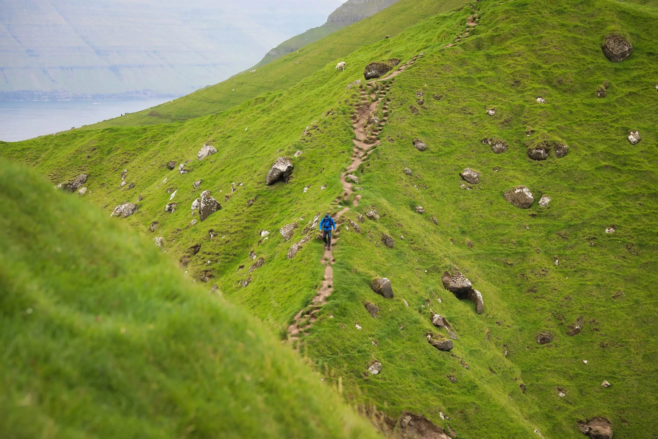
The hike starts in Trøllanes, where you pass through a gate and pay the hiking fee before following a short series of switchbacks uphill. The climb brings you onto a reasonably narrow path across the grassy hillside. Once it opens out near the lighthouse, you can explore several viewpoints, each offering a different perspective of the headland, sea cliffs and neighbouring islands.
The path is exposed, and conditions can be windy, wet or muddy, so wear sturdy shoes and take care near the cliff edges. In clear weather, the views across the North Atlantic towards Kunoy, Eysturoy and Viðoy make this short hike especially memorable.
How Difficult is the Hike?
The hike to Kallur Lighthouse is fairly easy and manageable for most people with a modest level of fitness. It’s one of the easier hikes in the Faroe Islands, with a short uphill climb on the way to the headland and a mostly clear path to follow.
The route can still be muddy and uneven underfoot, and the trail is exposed to wind and changing weather. Take your time on the narrow sections and stay well back from the cliff edges, especially if the ground is wet or visibility is poor.
I would be especially cautious if you plan on trying to get to the viewpoint on the northern side; where most people get the iconic photo from. It has a steep but muddy section of stairs with no guard rails on either side preventing you from slipping off of a huge cliff-face. Key is to take your time and if you aren’t confident don’t attempt it at all.
How Long Does it Take?
Allow around 1–2 hours for the 2 km return hike, depending on your pace and how long you spend at the viewpoints. I’d leave extra time to explore the headland and enjoy the different views around the lighthouse before returning to Trøllanes.
We really took our time so that I could get plenty of photos but for most people 2 hours would be more then enough.
If you’re travelling by public transport, plan your hike around the bus and ferry timetable and leave a comfortable buffer before your return journey.
What to Wear and Bring
Wear sturdy hiking shoes or boots with good grip. The path can be muddy and uneven, and the exposed headland can feel windy, so bring a waterproof, windproof jacket and dress in layers. I usually wear a lightweight synthetic top with a polar fleece underneath when hiking in the Faroes.
Bring water and snacks, especially if you plan to spend extra time exploring the viewpoints. There’s no shelter along the route, so check the forecast before setting out.
Is Hiking to Kallur Lighthouse Worth it?
Absolutely, Kallur Lighthouse is without a doubt worth visiting. The dramatic headland, sweeping ocean views and famous lighthouse make it one of the highlights of a trip to the Faroe Islands.
The ferry and bus connections might seem complicated when you first look at the timetables, but the journey is quite straightforward once you plan it around their schedules.
Don’t let the logistics put you off, getting to Kalsoy is part of the adventure, and the views at the end make it all worthwhile.
Our Experience Hiking to Kallur Lighthouse
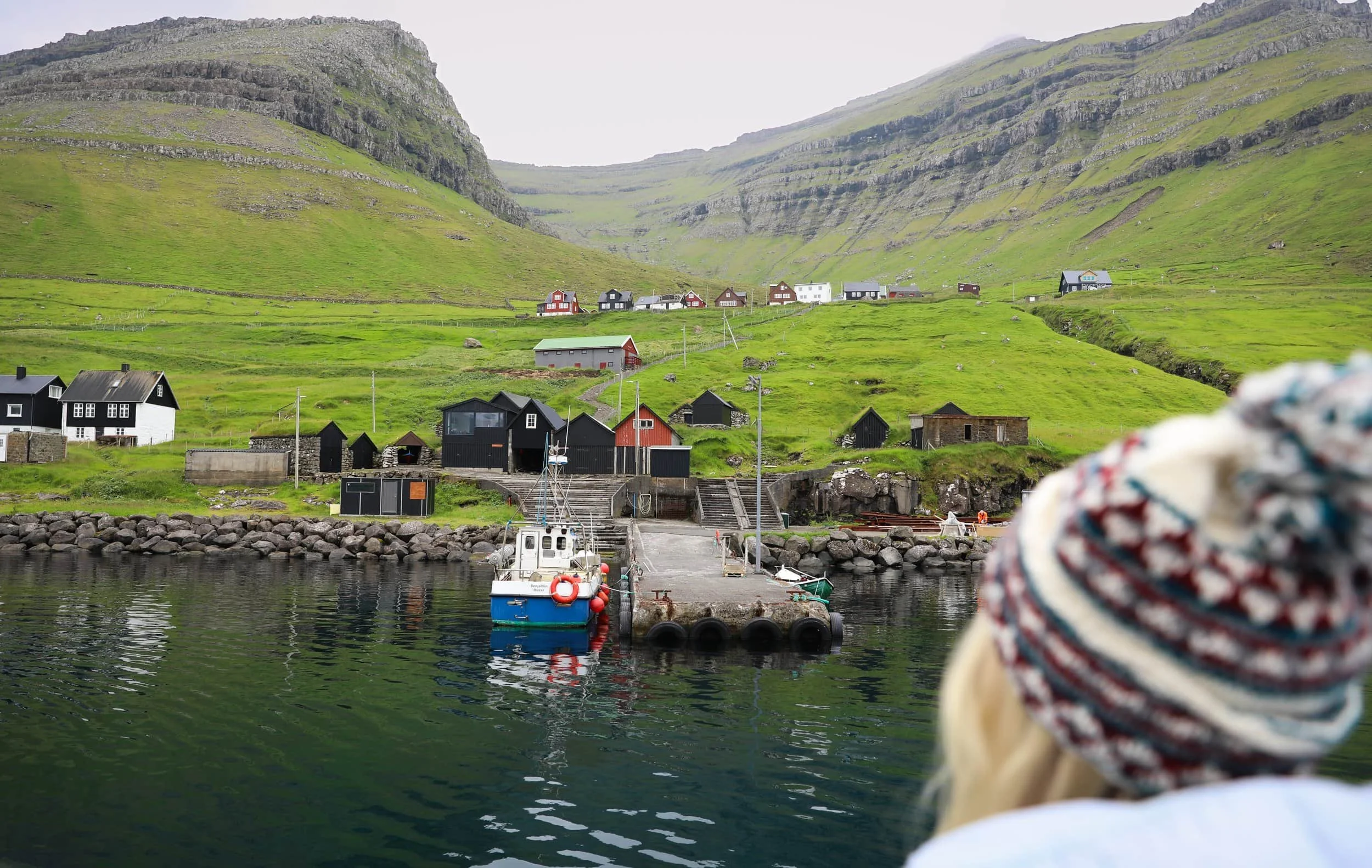
We caught the first ferry over to Kalsoy, excited to be making the journey with everyone else heading across that morning. The crossing itself was a lovely part of the trip, with views across the water and towards the surrounding islands. Once we arrived in Syðradalur, we hopped on the bus and travelled north through a series of tunnels to Trøllanes.
From there, everyone set off towards the lighthouse. One small downside of taking the bus is that you’ll usually start the hike alongside a group of other visitors. We’d had some of our other Faroe Islands hikes, like Mýlingur, almost entirely to ourselves, so Kallur felt busier by comparison.
The walk towards the lighthouse was pleasant, but the views don’t fully open up until you reach the cliffs. Then the scale of the landscape really hits you. We had strong winds while we were there, and the clouds shifted constantly over the few hours we spent exploring, with occasional glimpses of sunlight breaking through.
We made sure to visit all the different viewpoints and take our time soaking it in. I’d been manifesting this moment since the idea of visiting the Faroe Islands first came to mind, and honestly, I was just thrilled to be there, looking out at a view I’d imagined for so long.
Related Posts:
Drangarnir is a dramatic sea stack rising from the North Atlantic off the rugged coast of Vágar in the Faroe Islands. The experience begins with a short boat transfer that drops hikers at a remote landing point along the coast. From there, a rewarding hike leads across rolling green hills and exposed cliff paths toward the viewpoint overlooking Drangarnir. Along the way, sweeping ocean views, sheer cliffs, and powerful Atlantic swells immerse visitors in the raw, untamed landscapes that define the Faroe Islands.