Guide to Hiking the Saksun to Tjørnuvík Trail, Streymoy, Faroe Islands
The Tjørnuvík to Saksun hike is a spectacular trail on Streymoy Island in the Faroe Islands, leading across dramatic sea cliffs and rolling highlands between two of the country’s most iconic villages. Hikers are rewarded with breathtaking views of Saksun’s tidal lagoon, the vast North Atlantic, and the legendary sea stacks Risin and Kellingin rising offshore. This unforgettable hike showcases the raw, untamed beauty of the Faroese landscape up close.
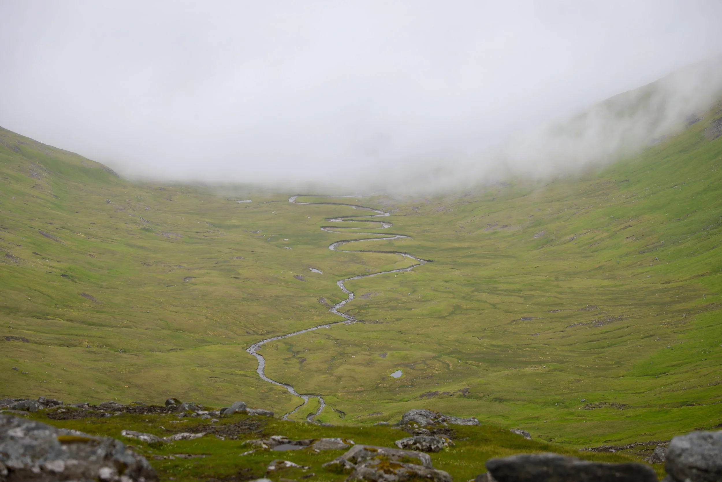
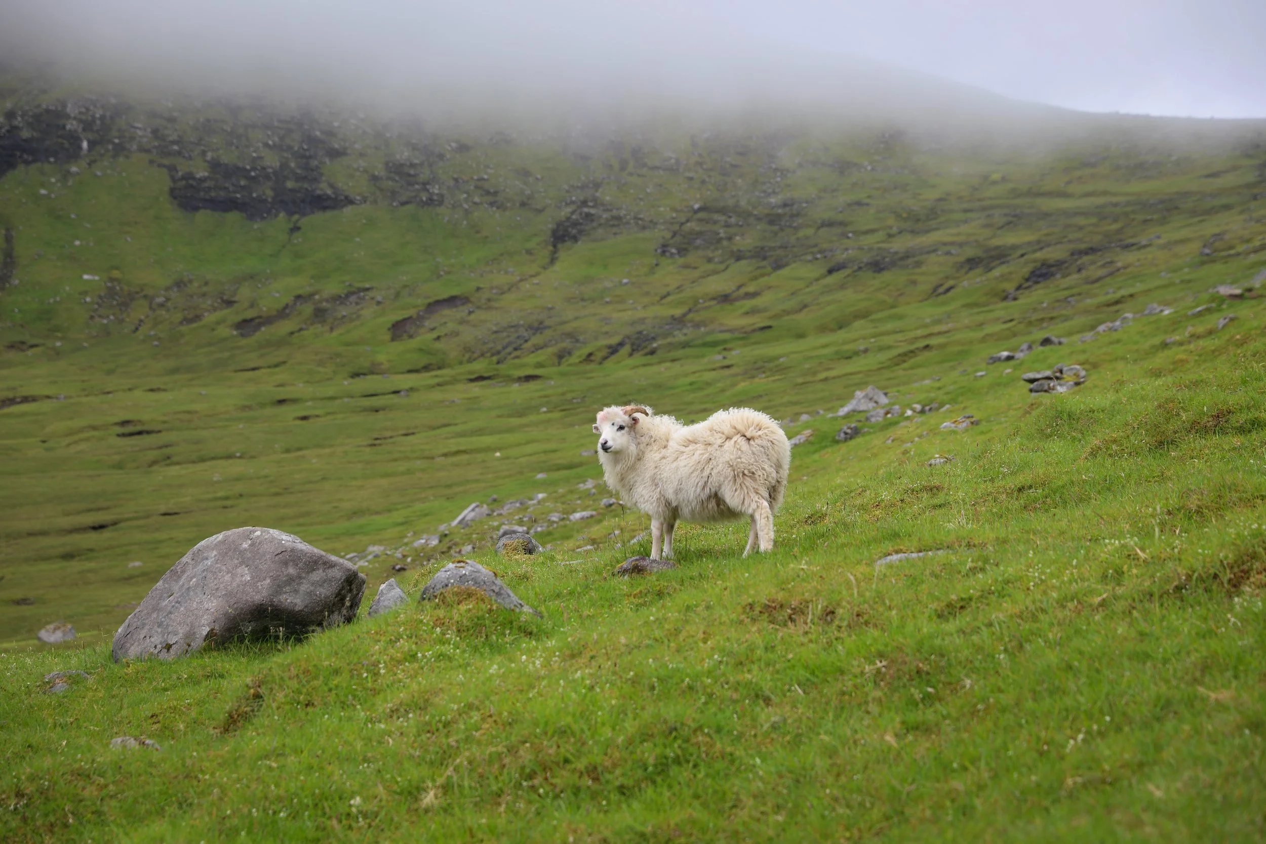
Saddle View Part Way Along Trail
Hike Overview and Map
Trailhead: Follow signs from Saksun small townsite “Saksun to Tjørnuvík Trail” | Google Maps
Parking: Next to the church free parking | Google Maps
Total Hiking Distance: 13 km | Out and Back
Total Hiking Duration: 3 hour hike | one way
Difficulty: Moderate
Altitude: 568 meters above sea level
Price: The hiking trail is free
Highlights: Views of Saksun Church, the Saksun Lagoon and the Black Sand Beach as well as over Tjørnuvík fjord and the legendary sea stacks Risin og Kellingin (the Giant and the Witch) rising from the North Atlantic.
Getting There
From Tórshavn:
Hire Car
All generic hire car companies (Avis, Budget, Europcar) are available from Vágar Airport (Vágar) or Tórshavn city centre (Streymoy)
Car hire costs vary substantially and it is usually one of the most significant costs of a trip to the Faroe Islands so it is best to check and compare prices at the time of booking
The roads are well surfaced the entire way so a 2WD is fine for the journey
The drive takes around 50 minutes one-way to Saksun
The total distance is around 46 km one-way
Overall a hire car is the best way to get around the Faroe Islands if its within your budget
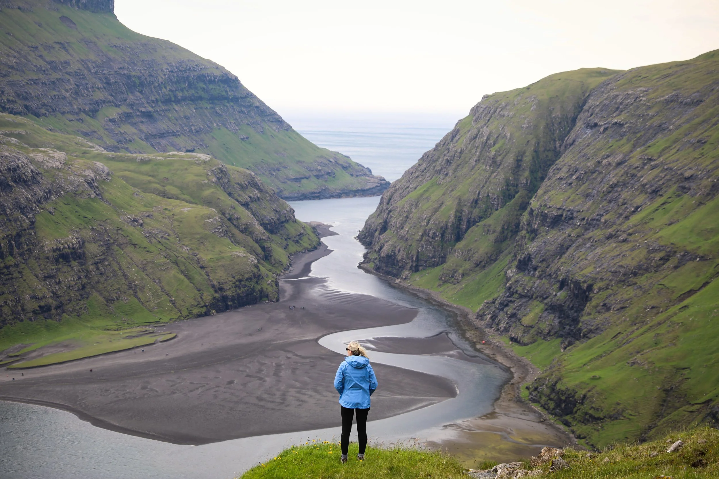
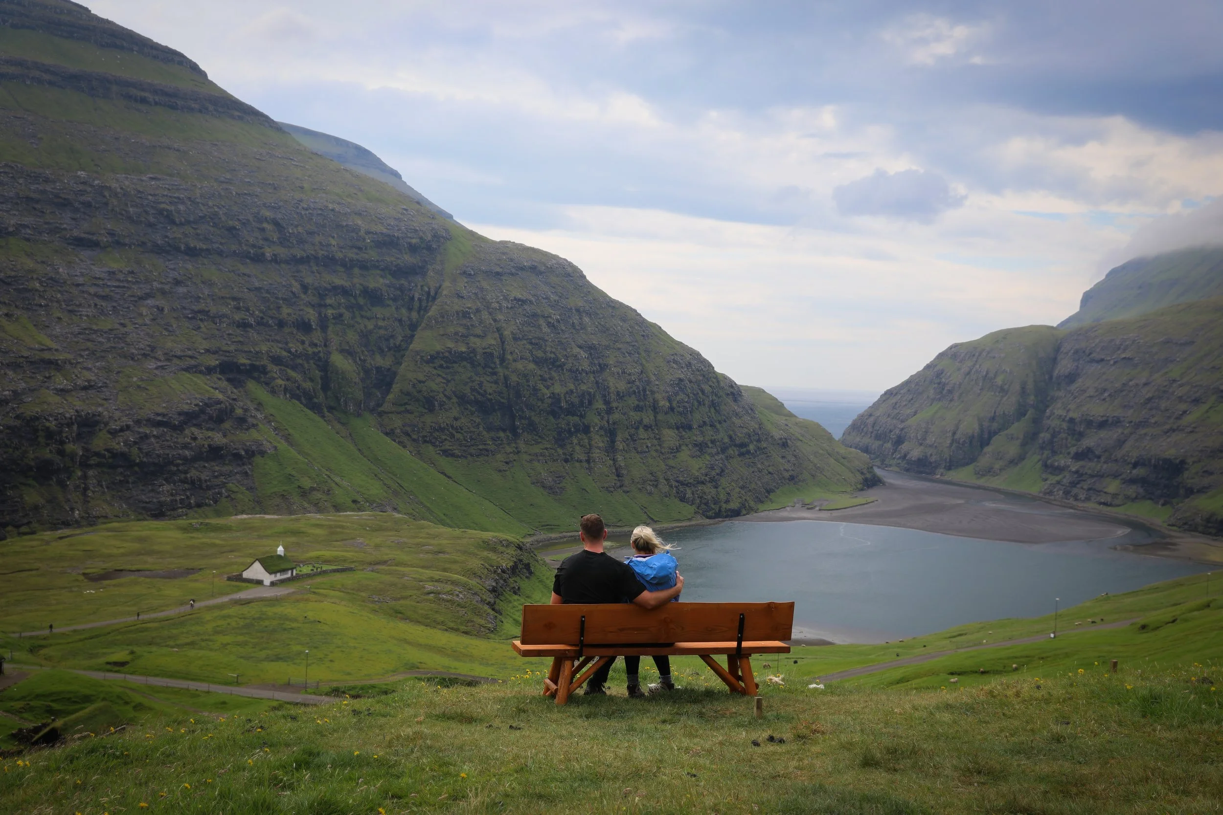
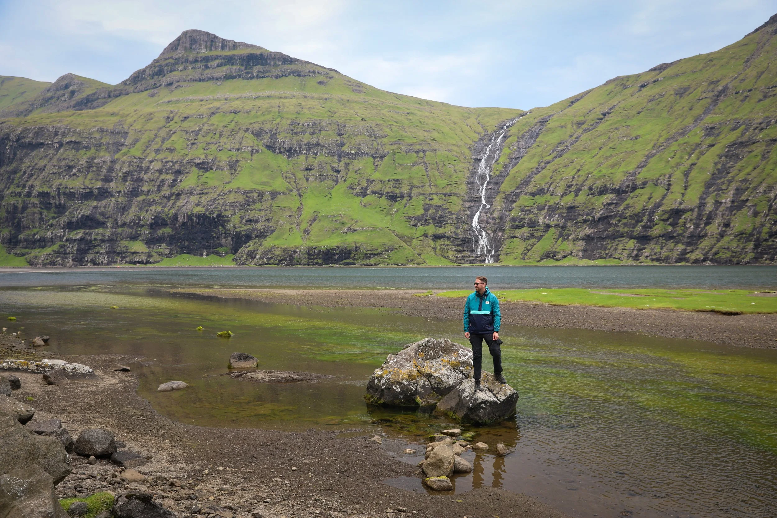
Viewpoint - Saksun Tidal Lagoon
General Tips
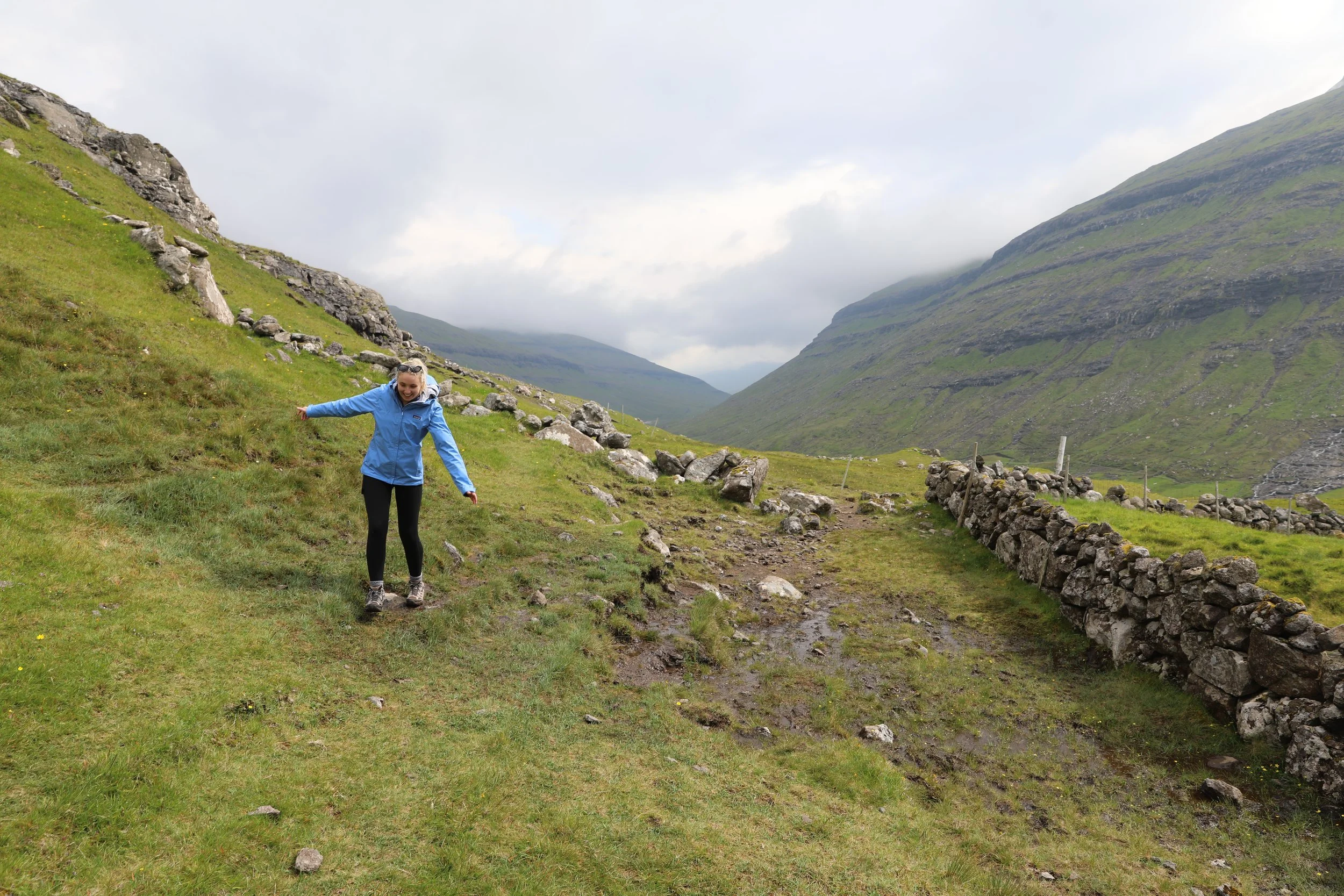
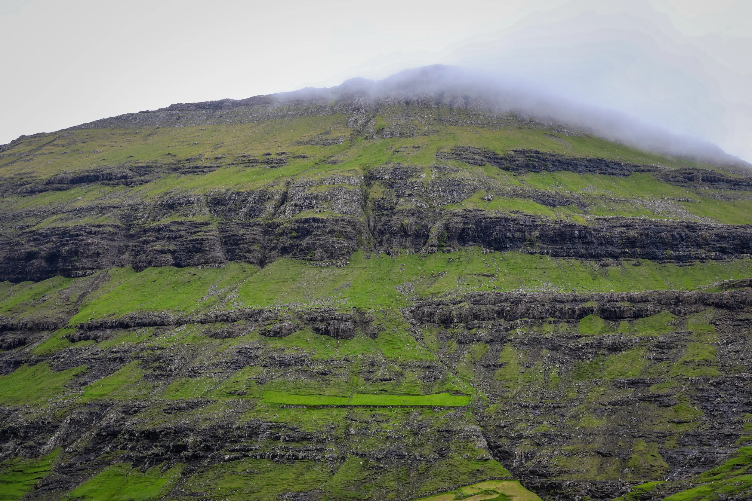
The trail starts off with a fairly steep up-hill section heading out of Saksun. Through this part the path is fairly well delineated with small signs or coloured rock markings, passing waterfalls and crossing over small streams with clear views of the Lagoon below.
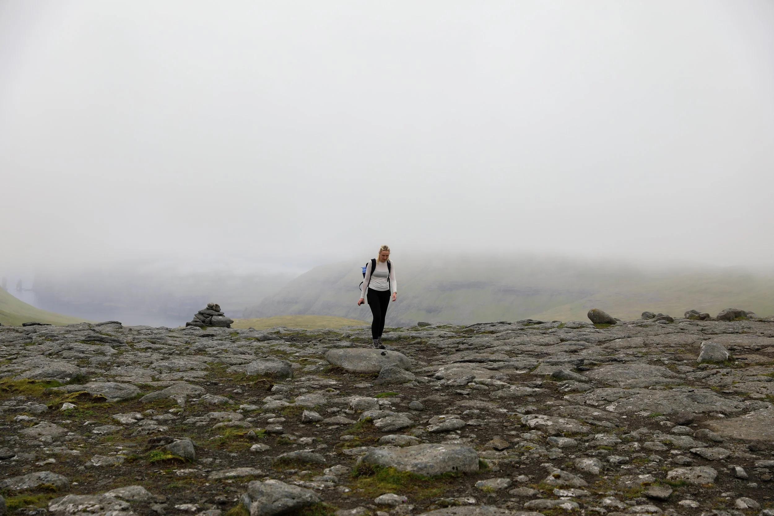
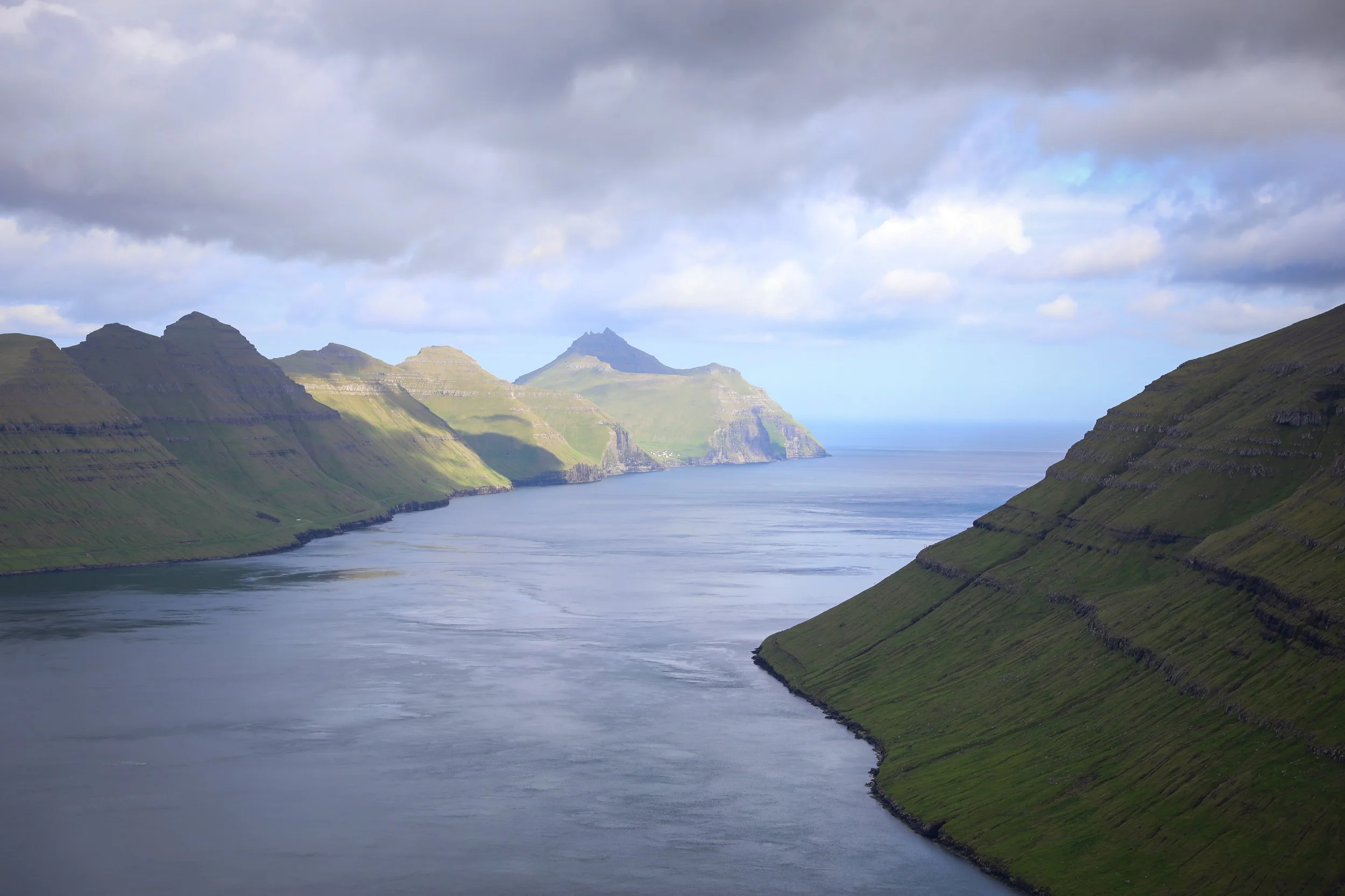
The markings are eventually replaced by cairns guiding you towards a saddle, from which you can get your first glimpses of the Risin og Kellingin sea stacks. Note that from this saddle is where you can branch off an unmarked path to try and reach the elusive Mýlingur Sea Cliffs.
Descending from the saddle the path opens up into a large valley which gets extremely waterlogged and muddy so sturdy waterproof footwear is recommended throughout.
Eventually you can start to spot Tjørnuvík as you descend, at this point the trail gets quite tight but the path is clearly delineated heading into town.
Note that there is no phone reception for the majority of the hike so I would strongly suggest downloading a map of the area in offline Google Maps or using All Trails and having pins set up for the main turning points.
Ensure you take enough food and water for the duration of the journey as there are no facilities the entire way.
The weather is extremely unpredictable in the Faroe Islands so always prepare for rainfall with a rain/windproof jacket.
Tjørnuvík is a nice place to chill and get lunch before heading back.
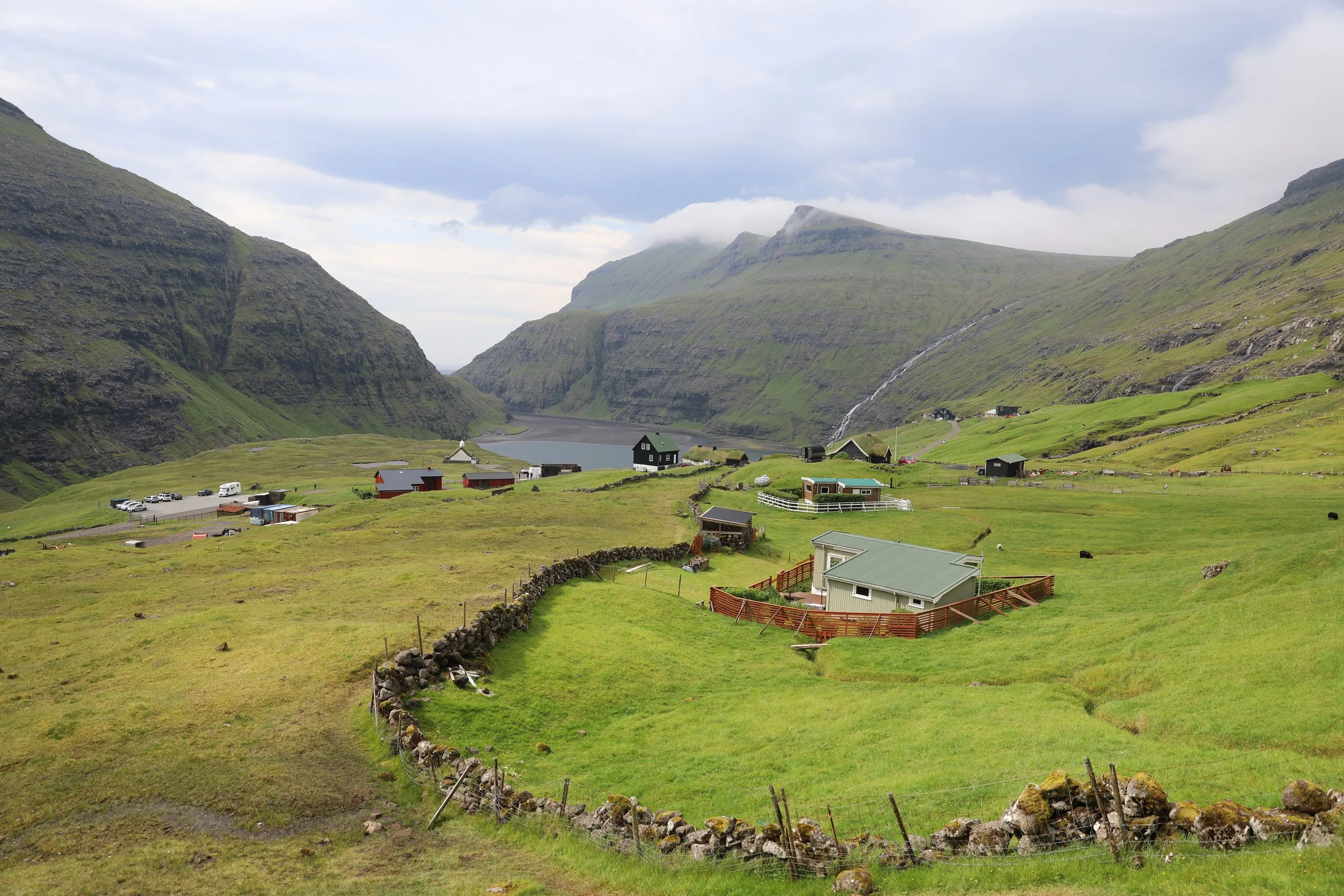
Saksun Village Trail Start
Saksun to Tjørnuvík Trail
Viewpoint Saksun Lagoon
Saddle with View of Tjørnuvík
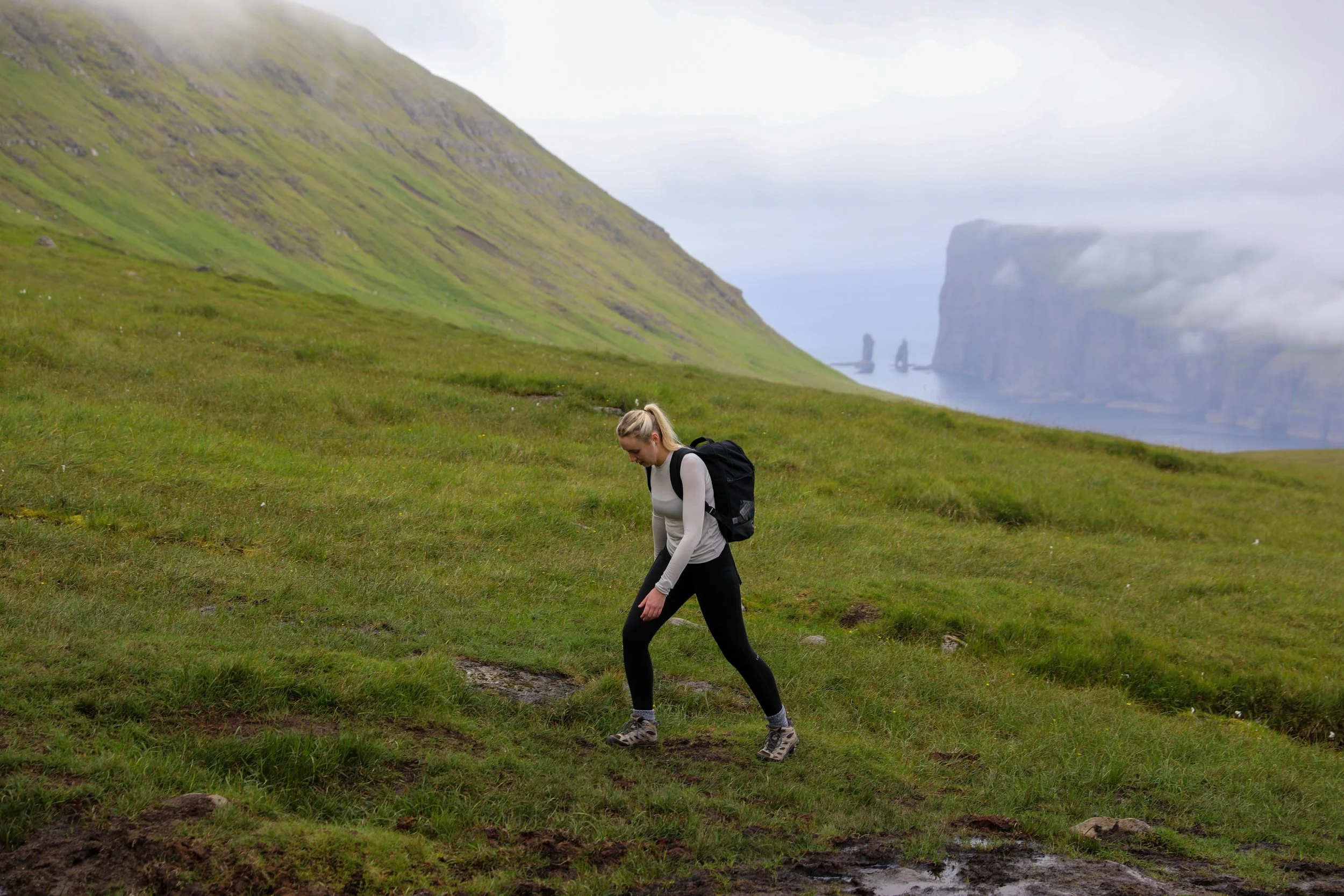
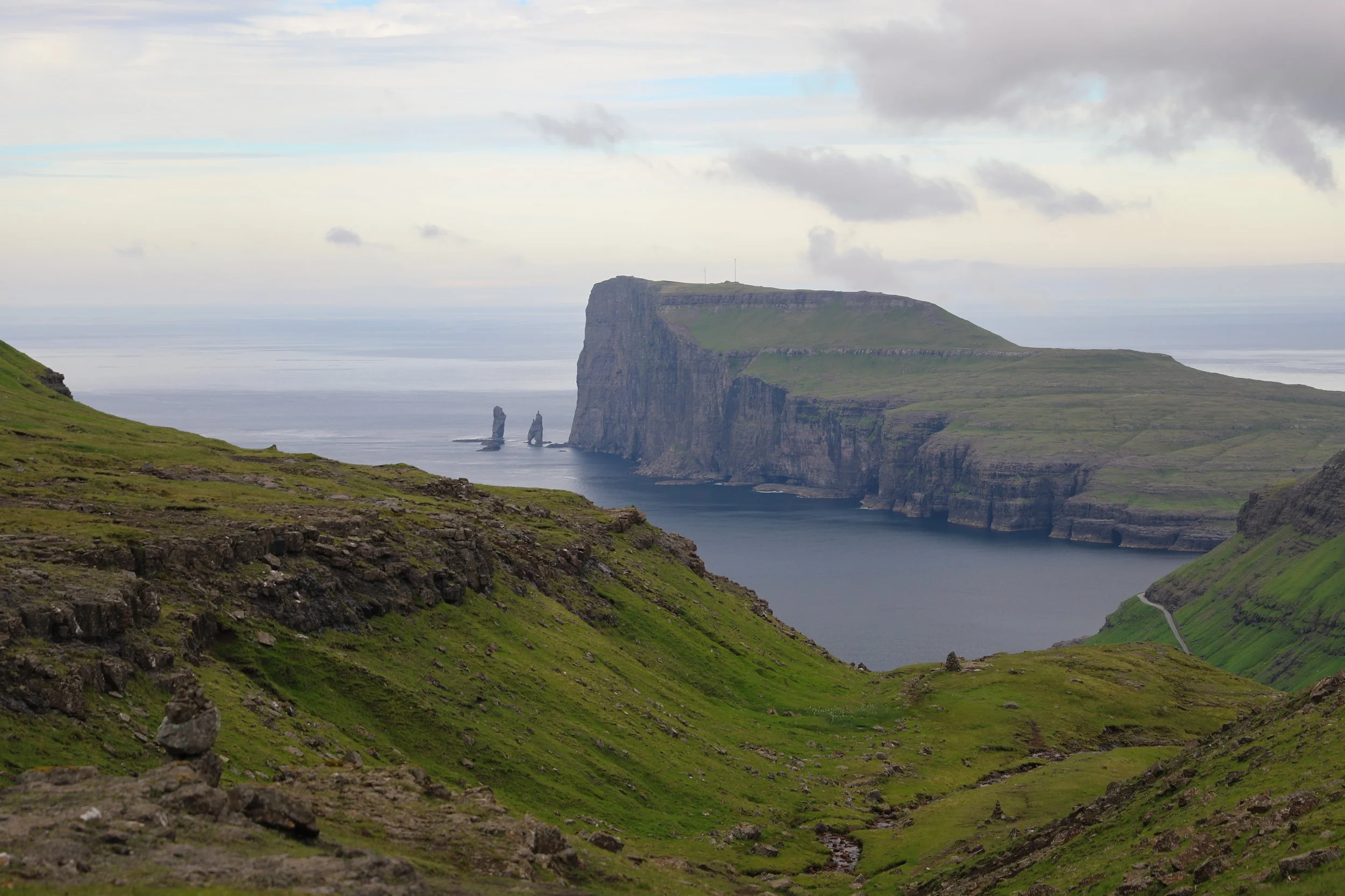
Risin og Kellingin (the Giant and the Witch)
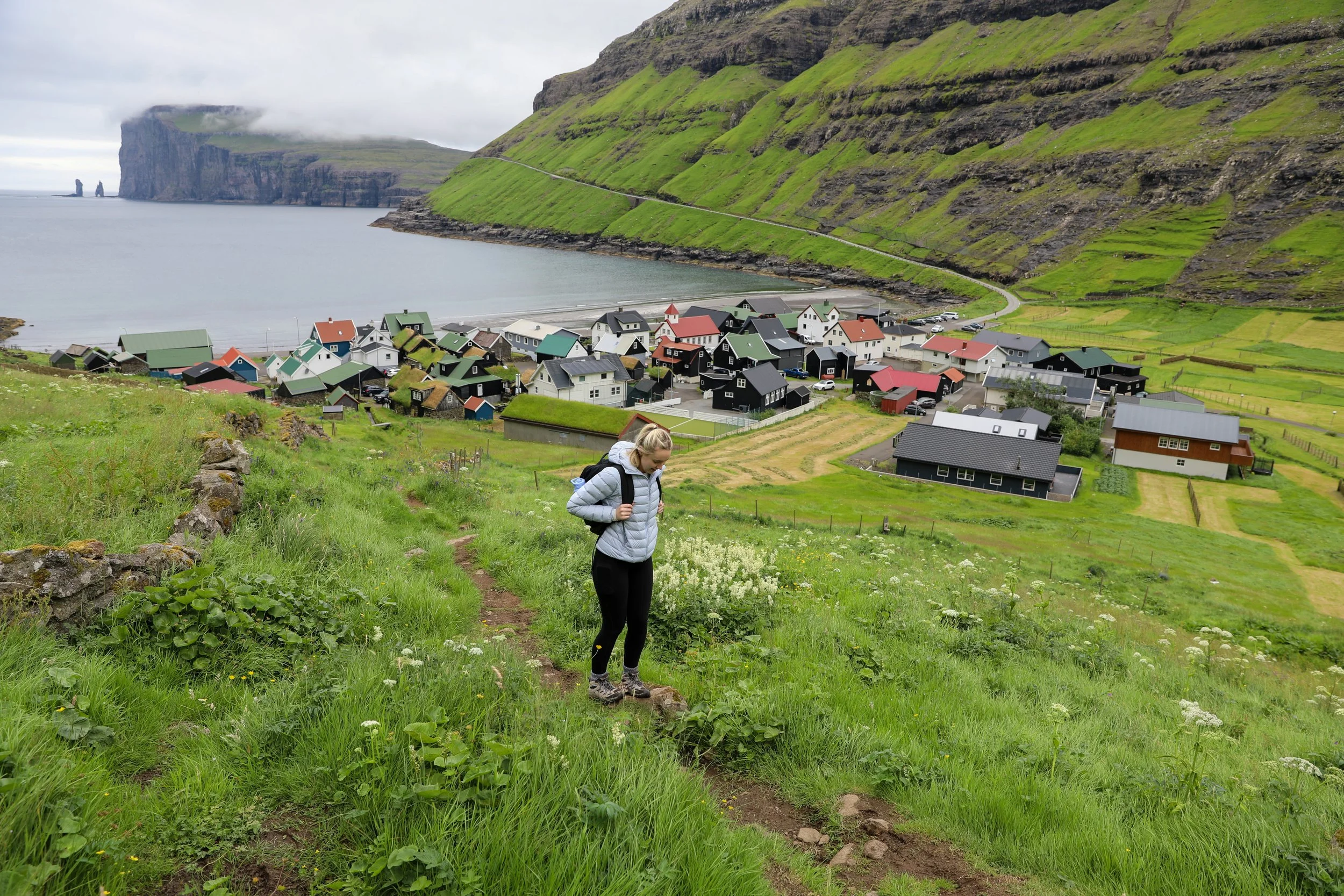
Arrival at Tjørnuvík
Where to Next
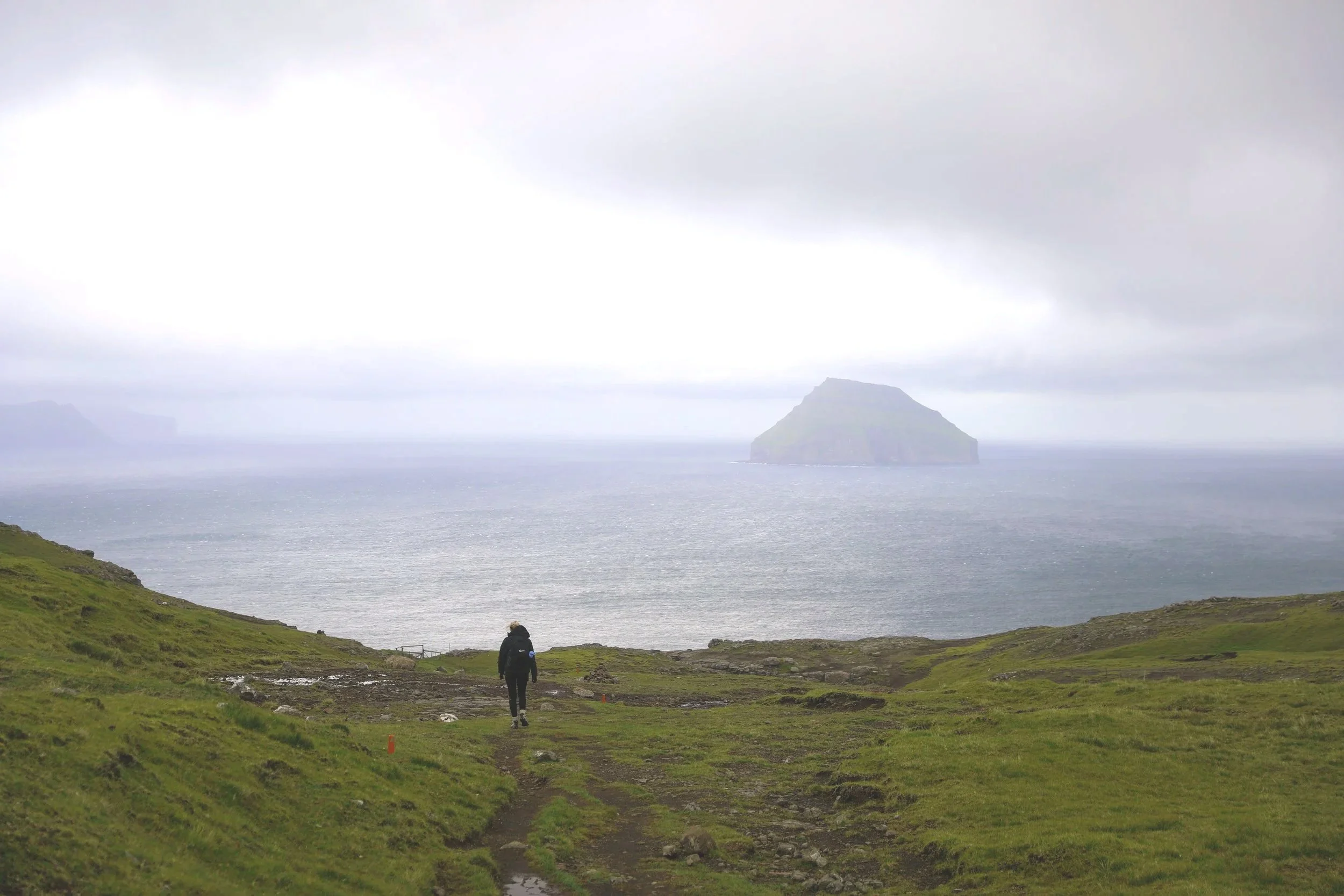
Mýlingur Sea Cliffs: if you are up for a challenge, whilst you are still in the area you could also attempt to hike to the elusive Mýlingur Sea Cliffs. This is an unmarked trail which branches off from the Saksun to Tjørnuvík path which can be approached from either townsite. It offers incredible views showcasing the raw, untamed beauty of the Faroese landscape.
Múlafossur Waterfall: About a 1-hour drive from Saksun, the stunning Múlafossur Waterfall plunges roughly 30 metres straight into the Atlantic Ocean, making it one of the Faroe Islands’ most iconic and photographed natural landmarks.
Related Posts:
Perched above the village of Funningur on Eysturoy, the Hvíthamar hike is one of the Faroe Islands’ most accessible yet rewarding walks. The trail gently climbs to a viewpoint overlooking the fjord, with wide-open mountain scenery unfolding at every turn. It’s the kind of short hike that delivers big views, making it a perfect stop for travellers wanting a taste of Faroese hiking without a full-day commitment.