
Hiking The Faroe Islands: The 5 Best Trails to Explore
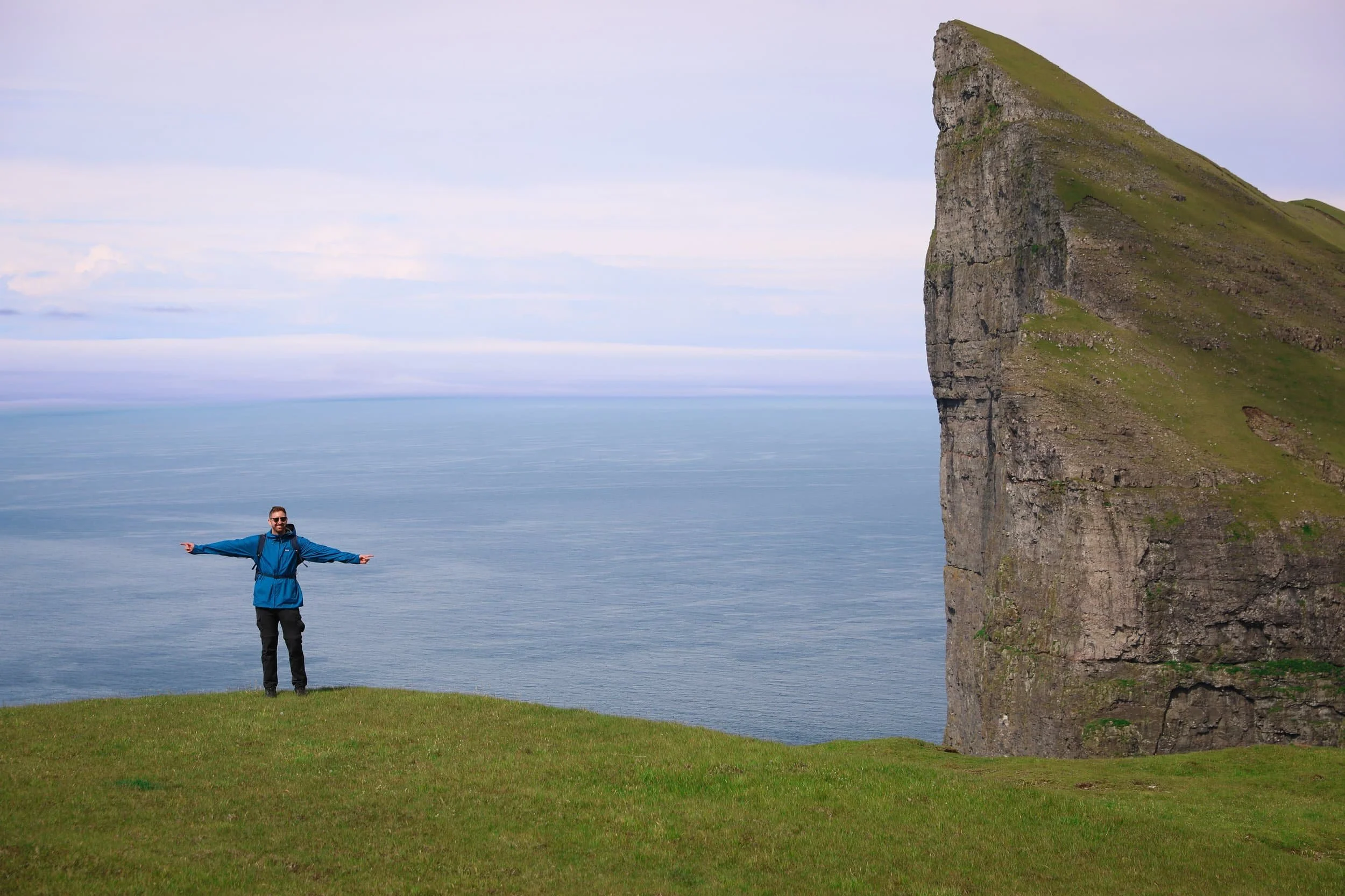
Hiking the Faroe Islands takes you through some of the North Atlantic’s most dramatic scenery, from towering sea cliffs and remote sea stacks to sweeping mountain ridges. With so many striking routes to choose from, it can be hard to know which hikes deserve a place on your itinerary.
In this guide, I’m sharing five of the best hikes I experienced, including the incredible unmarked route to the Mýlingur Sea Cliffs, panoramic views from Klakkur Ridgeline, a guided coastal adventure to the Drangarnir Sea Stacks, the short hike to Trøllkonufingur Witch’s Finger and the iconic Kallur Lighthouse.
Each trail offers something different, whether you’re after a challenging mountain adventure or a rewarding walk to an iconic viewpoint. I’ll share what to expect on each route and practical tips to help you plan your hiking the Faroe Islands adventure.
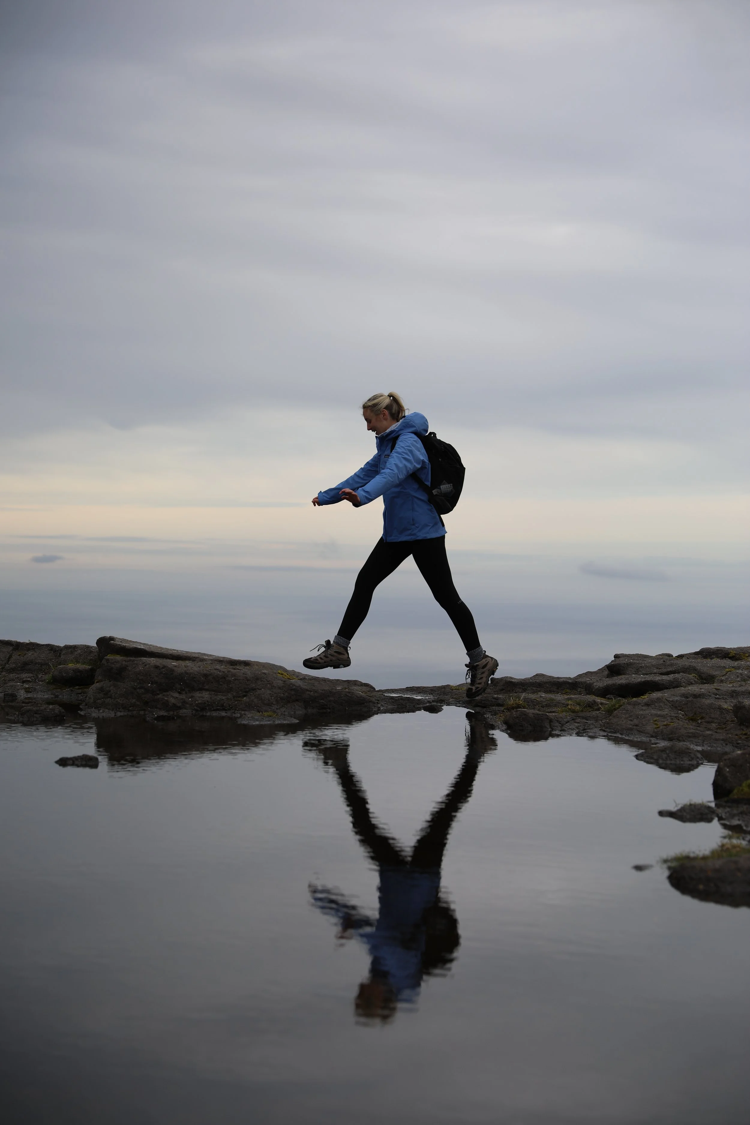
Best Hikes in Faroe Islands Overview
Why You Should Hike in the Faroe Islands
The Faroe Islands are one of my favourite places I’ve ever hiked.
Most of the trails we explored were surprisingly quiet, and at times we had the landscape almost entirely to ourselves. That sense of solitude made the walks feel especially memorable.
On top of that the scenery was unlike anywhere else I’d been. Some parts reminded me of Iceland, but the Faroe Islands took it to another level, with steep green mountains dropping into the sea, narrow valleys and cliffs that seemed to rise straight out of the North Atlantic. The views kept changing as we walked, so even the journeys between viewpoints felt like part of the experience.
Hiking the Faroe Islands offers a great variety of routes, from shorter walks to rewarding viewpoints to longer, more demanding hikes across exposed ridgelines and remote valleys. Some follow the coastline high above the ocean, while others climb into the mountains or lead to distinctive natural landmarks. That variety makes it easier to find a hike that suits your experience and appetite for adventure.
The clouds in the Faroe Islands can be both your best friend and your worst enemy when hiking. They can roll in and hide the views completely, or lift at just the right moment and make the scenery feel even more dramatic. When cloud and light come together, they can amplify the landscape tenfold. That unpredictability is part of the appeal: every hike feels a little different, and when the weather opens up, the views make the effort feel unforgettable.
Hiking the Faroe Islands Map
Use this map to plan hiking the Faroe Islands and see where the five featured trails are located: Mýlingur, Klakkur Ridgeline, Drangarnir Sea Stacks, Trøllkonufingur and Kallur Lighthouse. The map shows how the hikes are spread across different islands and can help you see which trails might fit together in your itinerary.
Although the Faroe Islands are relatively small, reaching some trailheads involves ferry crossings, narrow roads and careful timing. Use the map alongside your itinerary to plan your route between islands and allow enough time for each hike.
Where to Stay in the Faroe Islands
The Faroe Islands are relatively small, so it’s possible to visit all five hikes as day trips from Tórshavn. You’ll need to allow for driving between the capital and each trail, and some hikes also involve ferry or tour arrangements, but you can stay in one place for your whole trip.
If you’re hiring a car and prefer to spend less time commuting, you could instead stay in different areas and base yourself closer to each hike. I’ve included recommendations near the individual trails, as well as my top picks in Tórshavn, which has the widest choice of accommodation, restaurants and services. The accommodation map below can help you compare locations and plan your bookings.
The best places to stay in Tórshavn are:
Hotel Brandan - A four-star superior hotel about a three-minute walk from central Tórshavn. It has a restaurant, café and bar, plus a sauna, fitness suite and outdoor hot tubs. It’s a more upscale option, with free parking and electric car charging, and works well if you want extra facilities while staying close to town. This would be my top choice if you want to be walking distance to the city center.
Hilton Garden Inn Faroe Islands - A modern hotel around 1 km from the city centre, with complimentary on-site parking, a fitness centre and an on-site restaurant serving breakfast, lunch and dinner. It’s a comfortable full-service option, though you’ll have a slightly longer walk into the centre than from the most central hotels
Hotel Djurhuus - A simpler, generally more budget-friendly hotel about a 9-minute walk from central Tórshavn and close to the harbour. Rooms include Wi-Fi, and the stay includes breakfast and free parking, making it a practical choice if you want a convenient base without paying for as many extra facilities
Hiking to Kallur Lighthouse on Kalsoy
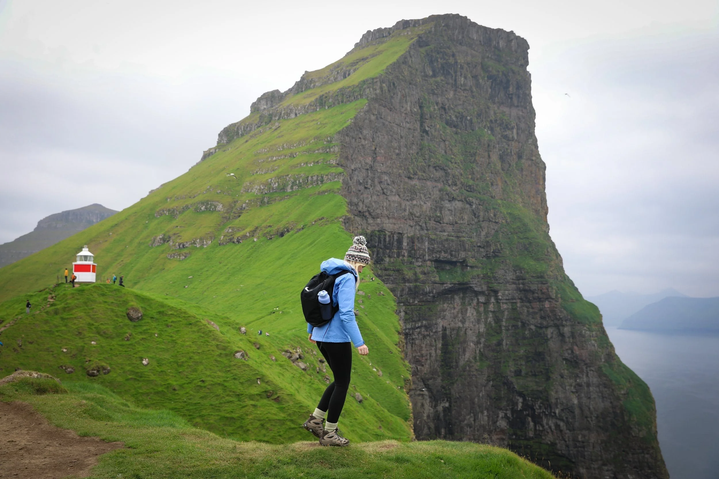
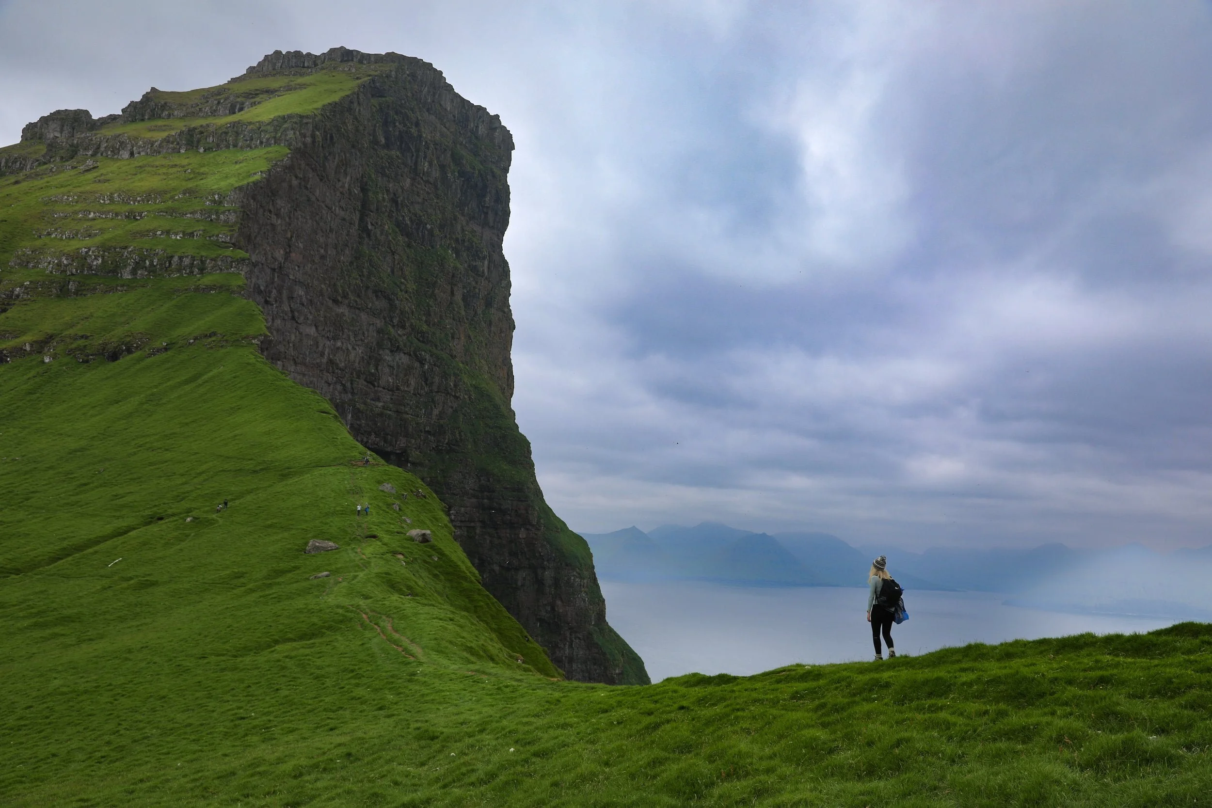
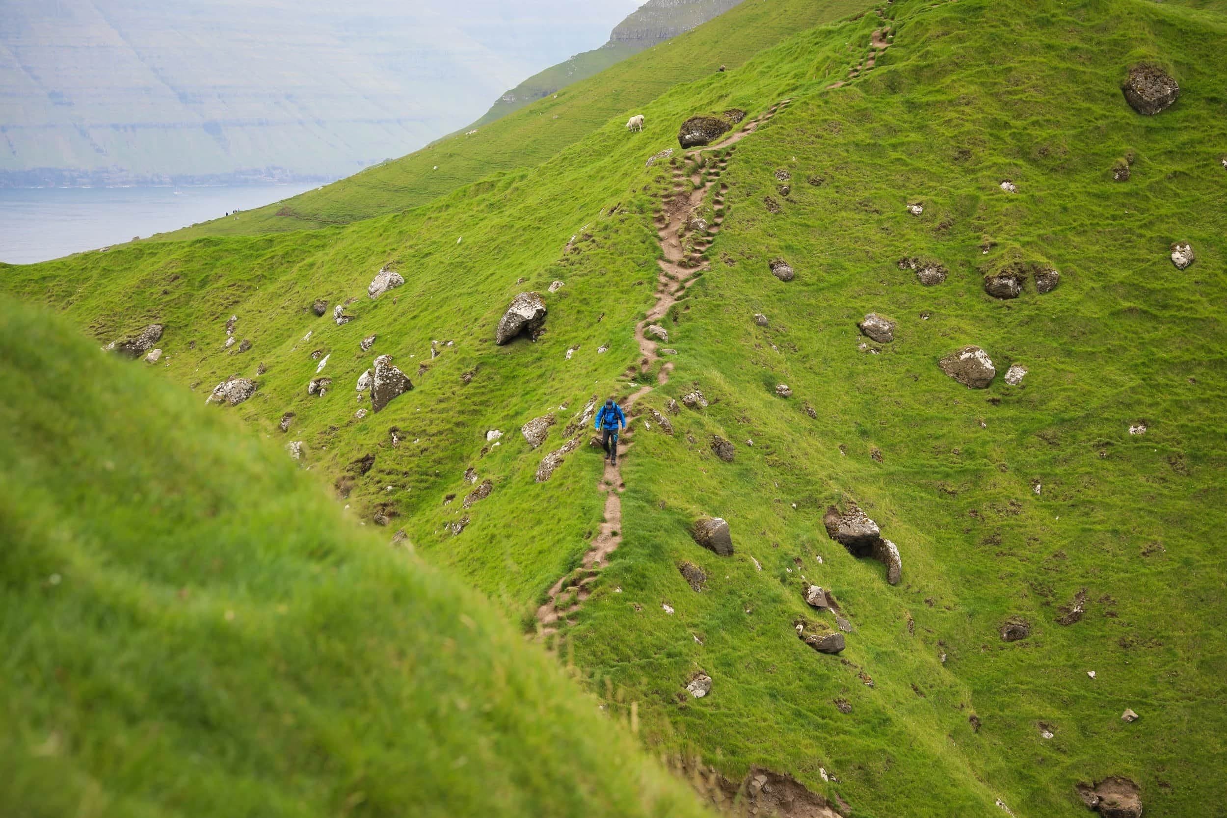
I’d been manifesting a visit to Kallur Lighthouse for years, and finally reaching it felt every bit as special as I’d imagined. Perched on a narrow headland above the North Atlantic, the lighthouse is surrounded by steep green ridges and dramatic cliffs, with views across the water to Kunoy, Eysturoy and Viðoy. It’s easy to see why this is one of the most iconic stops when hiking the Faroe Islands.
The walk from Trøllanes starts with a short climb before following a grassy hillside towards the headland. The views open up as you get closer to the lighthouse, where several viewpoints let you take in the cliffs and coastline from different angles. The path is exposed and can be muddy or windy, so take care near the edges and allow time to explore the area at the top.
For me, the journey to Kalsoy was part of the experience too. Taking the ferry from Klaksvík and continuing across the island to Trøllanes made the hike feel like a proper day adventure, and the view at the end lived up to the anticipation.
Hike Overview
Location: Northern tip of Kalsoy, above Trøllanes
Trailhead: Trøllanes | Google Maps
Distance: About 2 km return
Duration: Allow 1–2 hours for the hike and viewpoints
Difficulty: Easy to moderate; short uphill climb, with muddy and uneven sections
Highlights: Kallur Lighthouse, dramatic sea cliffs and views towards Kunoy, Eysturoy and Viðoy
Access: Ferry from Klaksvík to Kalsoy, then bus or car to Trøllanes
Hiking fee: Your guide lists 200 DKK for adults and 100 DKK for children; check the current fee before visiting
Where to Stay for Hiking Kallur Lighthouse
Klaksvík is the most convenient base for most visitors, and it’s where I’d recommend staying for the Kallur Lighthouse hike. As the Faroe Islands’ second-largest town, it has a good choice of accommodation, restaurants, cafés and shops where you can pick up supplies.
The ferry terminal is in the town centre, so you can start your journey to Kalsoy without a long drive to the harbour. Klaksvík is also a practical base for exploring nearby islands and villages.
We stayed in Klaksvík during our road trip around the Faroe Islands and found it a great base for exploring the wider area.
The Sybilla Apartment - is where we stayed in Klaksvík, and we loved it. This cosy, modern apartment has a well-equipped kitchen, free parking and lovely artwork, and it’s in a quiet neighbourhood about a five-minute walk from the town centre and ferry. It is also fairly reasonably priced compared to a lot of other places especially considering what you get.
KG Hotel - is a modern hotel in Klaksvík, with comfortable rooms, free Wi-Fi and on-site parking. It also has a restaurant, café, bar and spa with a sauna, making it a good option if you’d like dining and wellness facilities during your stay.
2. Guided Hike to Drangarnir Sea Stacks
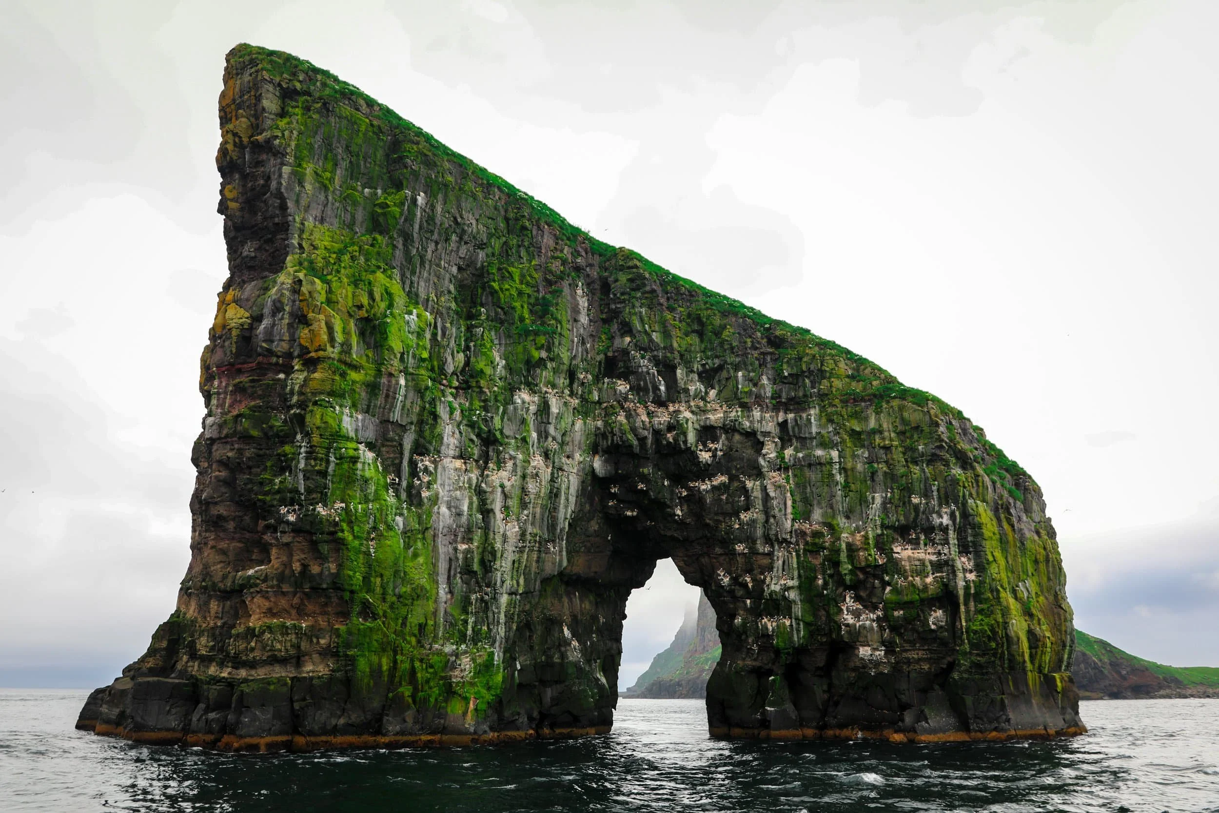
The guided hike to the Drangarnir Sea Stacks was one of my favourite adventures in the Faroe Islands. It began with a speedboat ride from Sørvágur, zipping along Vágar’s coastline beneath towering cliffs before we landed at a sheltered cove to start walking.
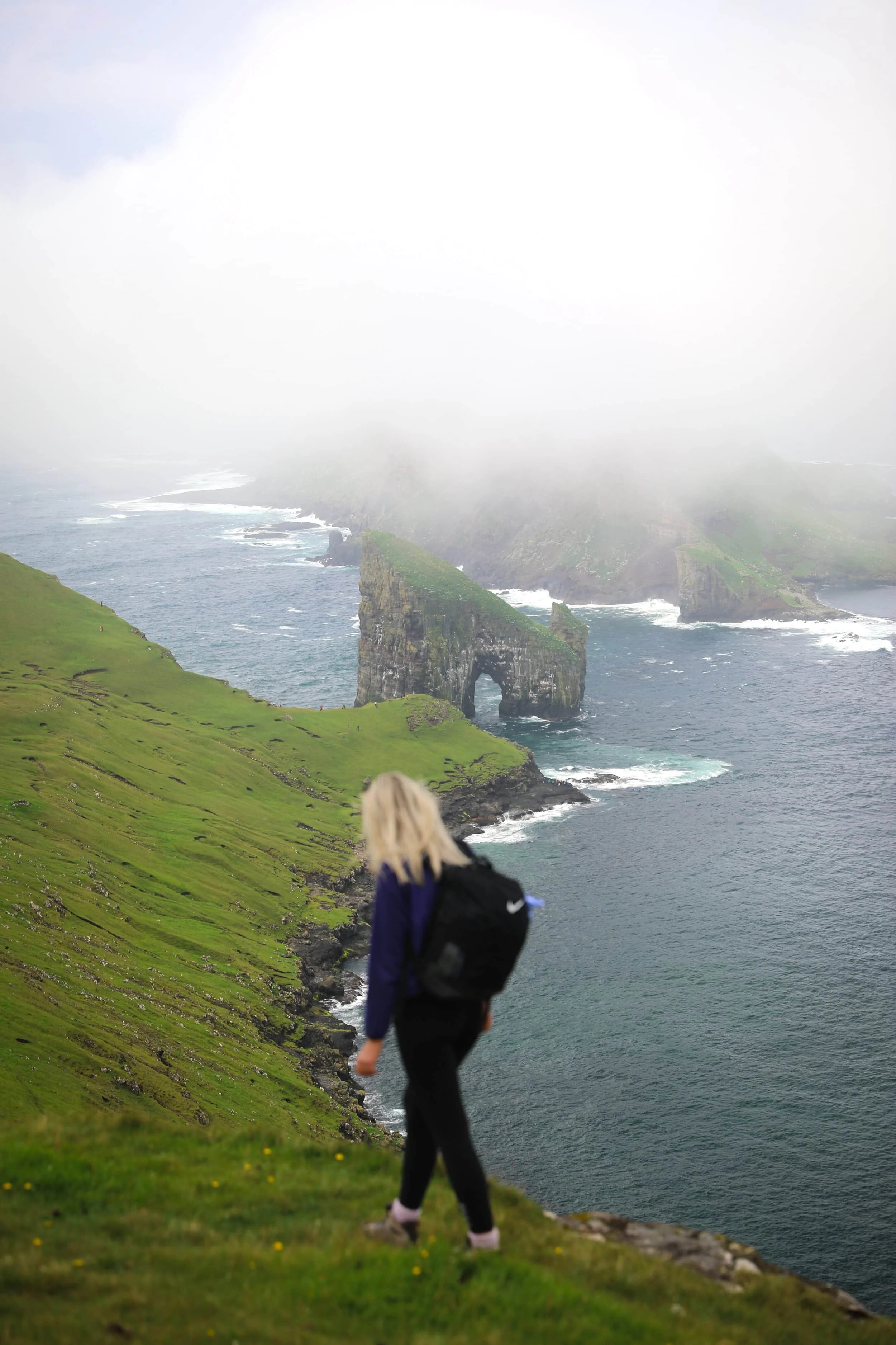
From there, the trail climbed over grassy hills to a ridgeline, where we caught our first glimpse of the sea stacks rising from the Atlantic. We then followed the coast towards Stóri Drangur, the larger stack with its striking natural arch, with views of Tindhólmur and the surrounding cliffs along the way. At the end, we had time to explore the viewpoints before the boat collected us for the return trip.
This is a guided hike across private land, so you can’t walk the route independently. The combination of the boat journey, the coastal trail and the close-up views makes it feel like a full adventure, rather than just a walk to a viewpoin
Hike Overview
Location: Vágar, off the western coast of the island
Meeting point: Sørvágur Marina | Google Maps
Hiking distance: About 3 km, according to the detailed route section in your guide
Total duration: Around 3 hours, including the boat transfers and time at the viewpoints
Difficulty: Moderate to difficult; uneven, exposed terrain
Highlights: Stóri Drangur’s natural arch, Lítli Drangur, Tindhólmur and Vágar’s dramatic coastline
Access: Authorised guided tour with boat transfers; independent access isn’t permitted
Price: Your guide lists 800 DKK for adults and 400 DKK for children; check the current price and availability before booking
Where to Stay for Hiking to the Drangarnir Sea Stacks
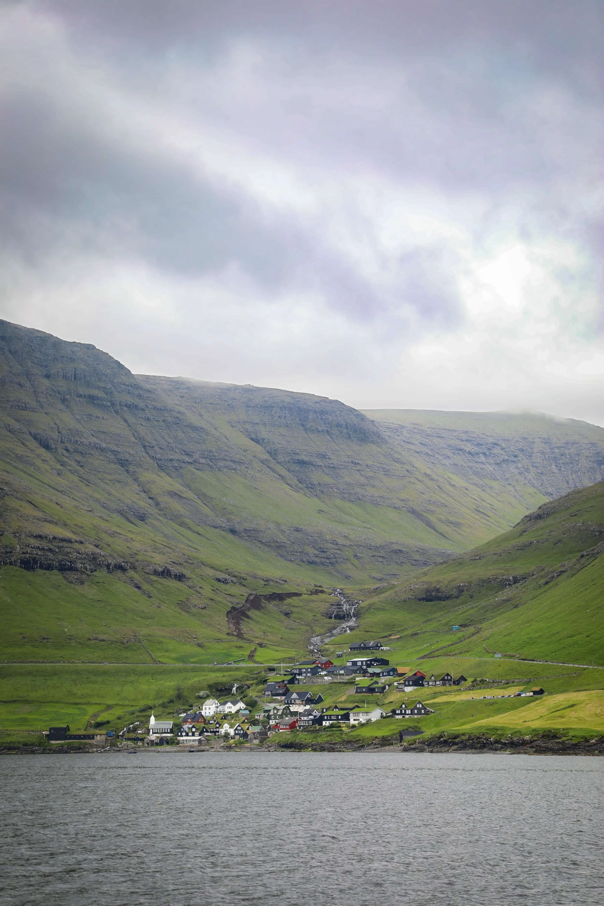
Sørvágur is the most convenient place to stay for the Drangarnir guided hike, with the tour departing directly from the village harbour. Staying here means you can reach the meeting point within minutes, without worrying about a long drive or arriving late for your boat transfer.
We stayed in Sørvágur during our Faroe Islands trip and found it a particularly convenient base. The village has a supermarket, is close to Vágar Airport and provides easy access to some of the island's most famous attractions.
The best places to stay in Sørvágur are:
Cottages by the Sea - These cosy, self-contained cottages are set beside the marina, with sea views and a terrace. Each has a kitchenette, bathroom, living area with a sofa bed and an upstairs sleeping loft, making them a practical option for couples, families or small groups.
Hotel Vagar - A convenient hotel near Vágar Airport, with comfortable rooms, free Wi-Fi and an on-site restaurant serving breakfast. It’s a good choice if you want a straightforward stay close to the airport and within easy reach of Sørvágur and the island’s main sights.
3. The Unmarked Trail to Mýlingur Sea Cliffs
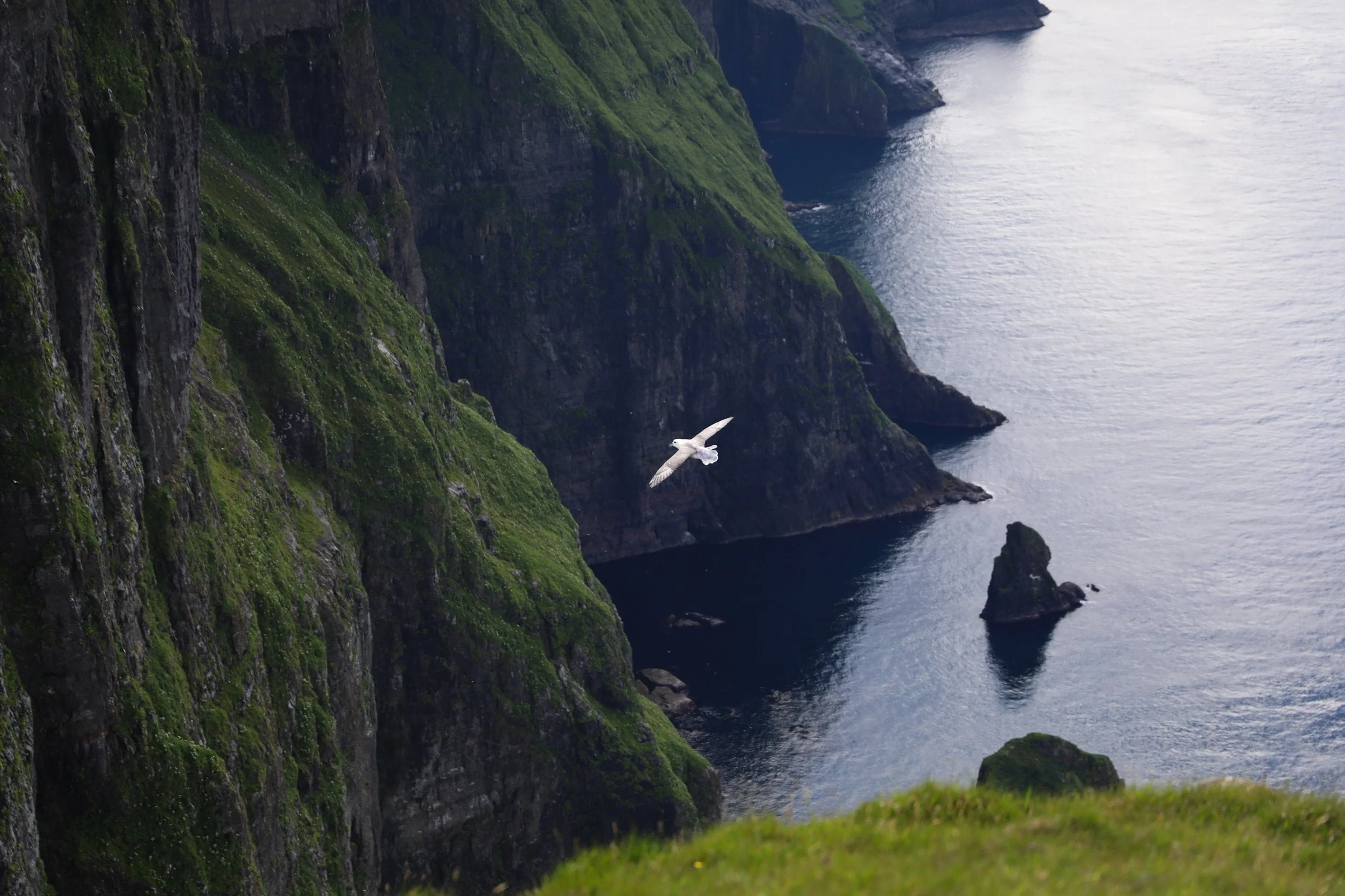
The Mýlingur hike was the absolute highlight of my trip to the Faroe Islands, and my favourite hike of the whole journey.
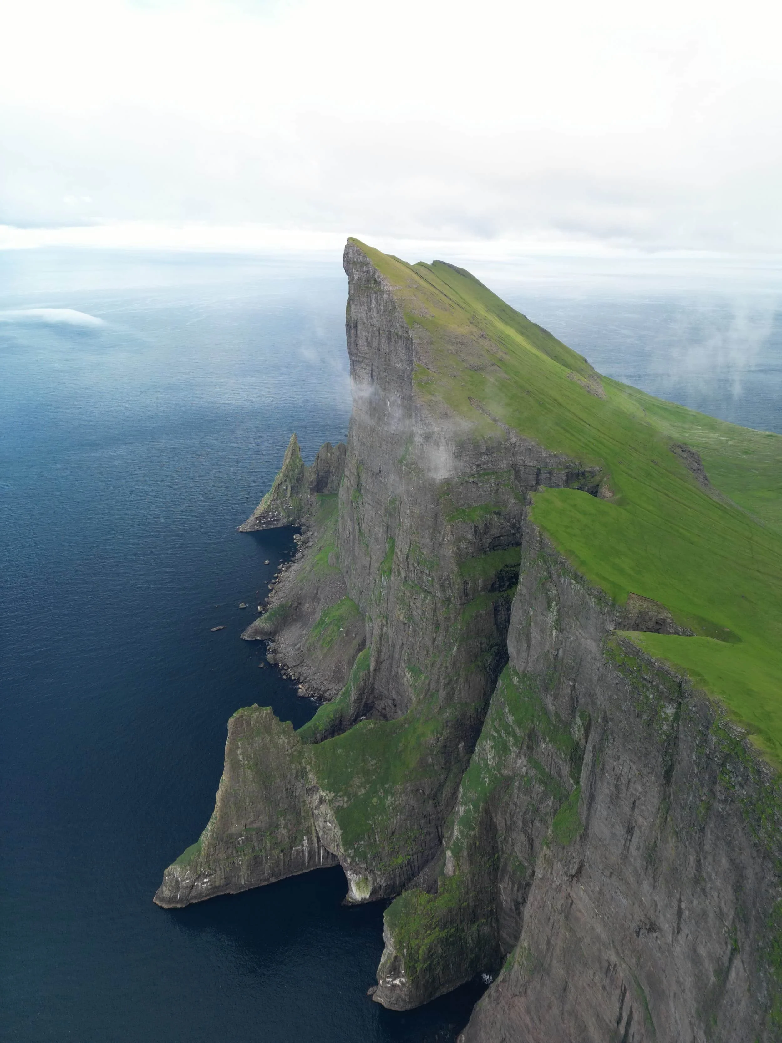
Starting near Tjørnuvík, the route crosses the broad, remote Sjeyndir valley before climbing towards Mýlingur’s ridgeline and towering sea cliffs. From the valley floor, the cliffs rise dramatically above you, with the North Atlantic and neighbouring islands stretching into the distance.
This is a long, demanding walk with an unmarked section beyond the saddle, so it takes more preparation than a typical hike. We encountered low cloud that cut visibility to around 20 metres, and had to wait for it to clear before continuing. Later, as we descended into the final valley, the clouds lifted and the sun came out. The landscape felt like a little paradise, and we had it almost entirely to ourselves.
If you’re considering hiking the Faroe Islands, Mýlingur is an unforgettable choice for experiencing the wild, quiet side of Streymoy, provided you’re comfortable with a long hike and can go in clear conditions.
Hike Overview
Location: Above Sjeyndir valley, near Tjørnuvík on Streymoy
Trailhead: Tjørnuvík | Google Maps
Distance: About 14 km return
Duration: Allow around 5 hours, plus extra time at the cliffs
Difficulty: Moderate to challenging; a long route with steep climbs, muddy ground and a very steep descent
Highest point: Around 565 metres above sea level
Highlights: Remote valley scenery, views towards Tjørnuvík and Risin and Kellingin, and the dramatic cliffs beneath Mýlingur
Navigation: The route is marked at first, but the turn towards Mýlingur beyond the saddle is unmarked
Cost: Free
Where to Stay for Hiking to the Mýlingur Sea Cliffs
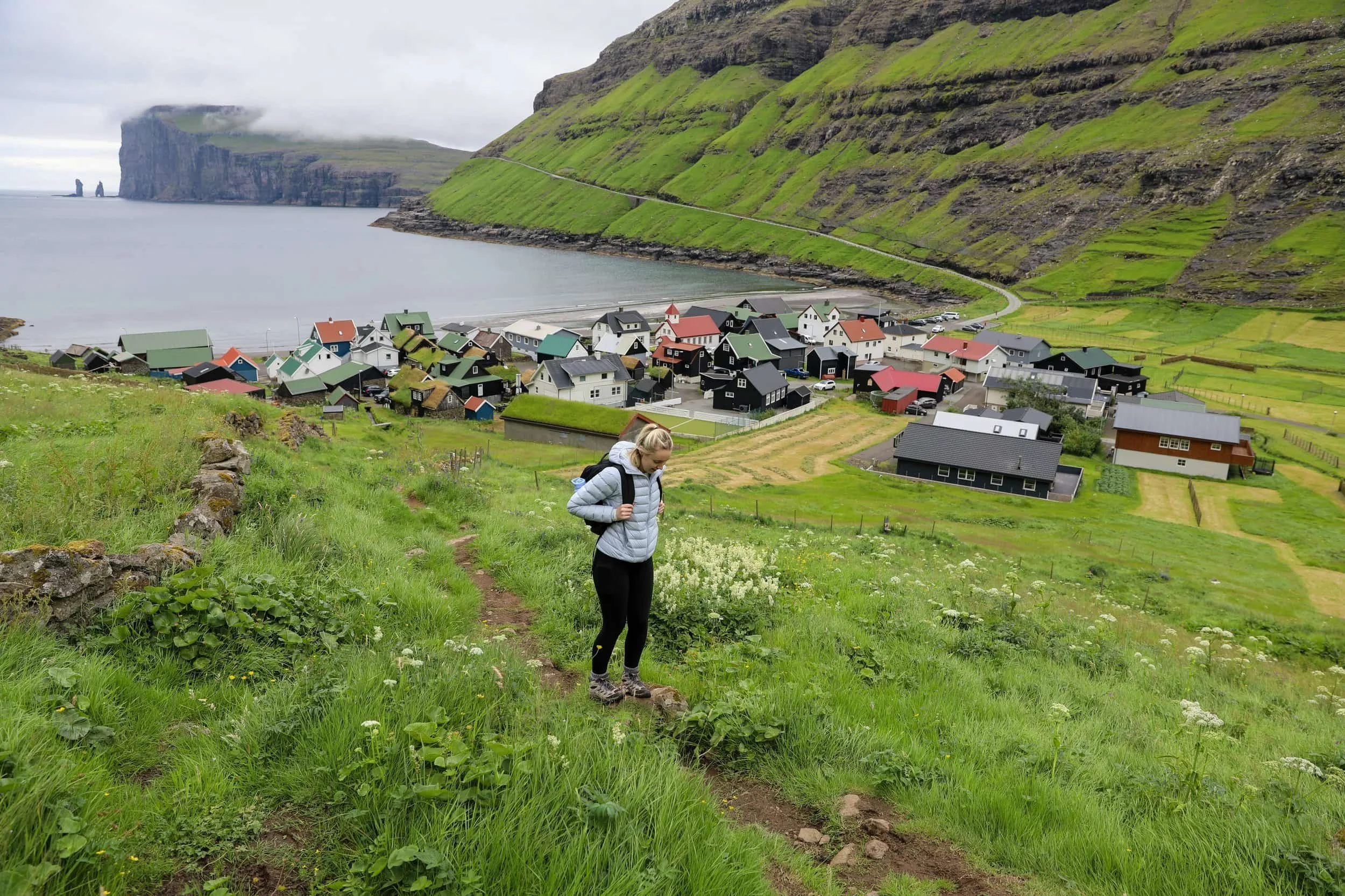
Staying close to the trailhead makes it easier to start this long hike early and take your time on the route. Tjørnuvík is the most convenient base, as the hike starts in the village.
Tjørnuvík is a peaceful village at the northern end of Streymoy, set in a sheltered bay beneath steep mountains. Staying here puts you close to the trailhead, the black-sand beach and views of Risin and Kellingin. There are only a few places to stay, so it’s best to book early.
The best places to stay in Tjørnuvík are:
Holiday Cottage in Tjørnuvík - A cosy, self-contained cottage with a kitchen, sea views and free on-site parking. It’s a convenient base for the hike and for enjoying Tjørnuvík’s beach and village setting. This tends to be booked out a long way in advance so it is important to get in and book it quick.
Luxurious Unique Villa in Tjørnuvík - A spacious three-bedroom villa with a terrace, sea views and free parking, suited to families or groups. The beach and hiking are close by, and the house looks out towards the famous sea stacks Risin and Kellingin. Another popular option that can hold a lot more people.
Featured Faroe Islands Posts:
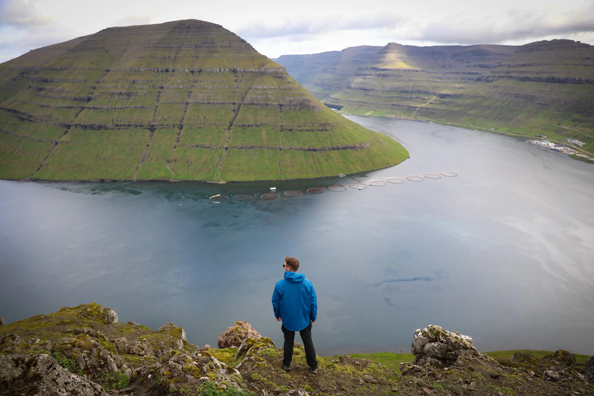
4. Klakkur Mountain Ridge Hike Above Klaksvík
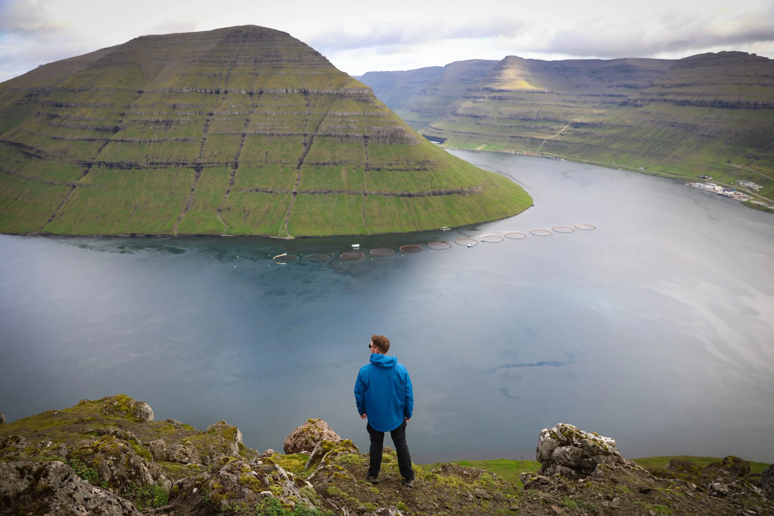
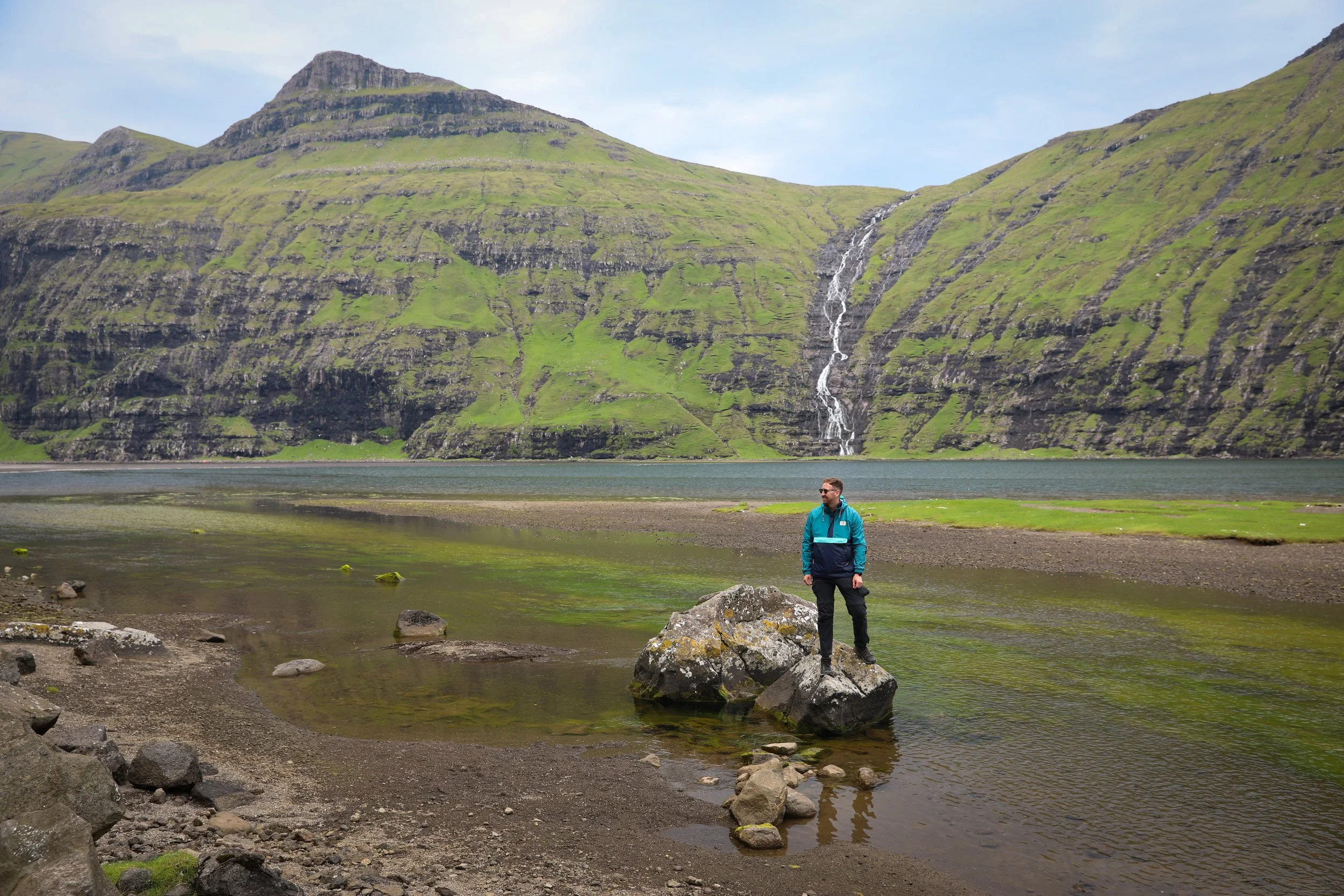
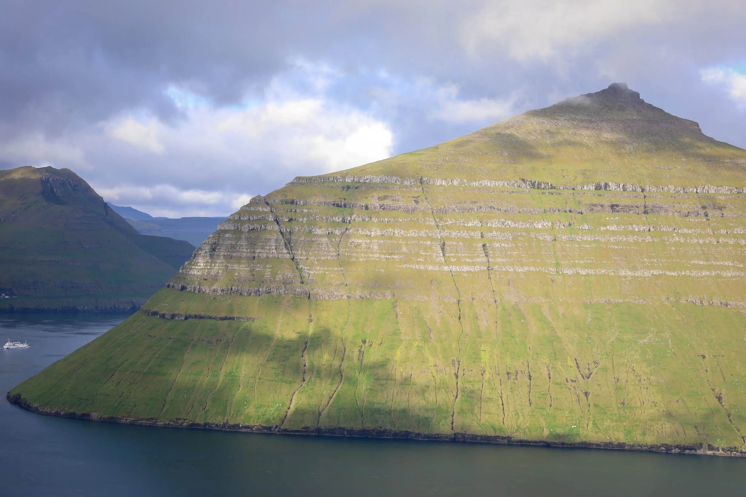
Rising above Klaksvík on Borðoy, Klakkur is a short hike with a big payoff. The route climbs open grassy slopes to a broad summit, where the views stretch across Klaksvík, the narrow sound between Borðoy and Kunoy, and the surrounding northern islands.
What makes this walk especially rewarding is how much the panorama opens up as you climb. From the summit, you can look towards Kalsoy and Kunoy, with fjords and mountain ridges filling the horizon. It’s a great choice if you want an accessible hike that still gives you a real sense of the Faroe Islands’ rugged landscape.
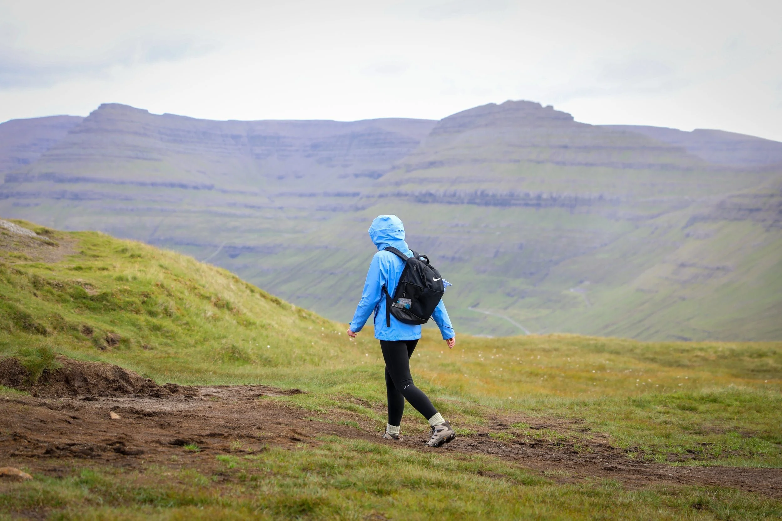
The trail is short, but the route can be muddy and parts are not clearly marked, so wear sturdy waterproof footwear and take your time. You can drive to the upper car park near the trailhead; hiking from Klaksvík town centre makes the route considerably longer
Hike Overview
Location: Above Klaksvík on Borðoy
Trailhead: Upper car park | Google Maps
Distance: About 2.4 km return from the upper car park
Duration: Around 1 hour 10 minutes of walking; allow extra time at the summit
Difficulty: Moderate; a steady uphill walk with muddy, uneven and partly unmarked sections
Highest point: Around 406 metres above sea level
Highlights: Views across Klaksvík, Borðoy, Kunoy, Kalsoy and the surrounding fjords
Cost: Free
Where to Stay for Hiking the Klakkur Mountain Ridge
Klaksvík is the ideal base for hiking Klakkur, as the mountain rises directly above the town. You can drive to the upper car park near the trailhead or start walking from the town centre, which makes the hike much longer. Klaksvík also has a good choice of accommodation, restaurants, cafés and shops, and it’s a convenient base for exploring Borðoy and the surrounding northern islands.
We stayed in Klaksvík at the The Sybilla Apartment during our Faroe Islands road trip and found it a great base. Here are two options to consider:
The Sybilla Apartment - is where we stayed in Klaksvík, and we loved it. This cosy, modern apartment has a well-equipped kitchen, free parking and lovely artwork, and it’s in a quiet neighbourhood about a five-minute walk from the town centre and ferry. It is also fairly reasonably priced compared to a lot of other places especially considering what you get.
KG Hotel - is a modern hotel in Klaksvík, with comfortable rooms, free Wi-Fi and on-site parking. It also has a restaurant, café, bar and spa with a sauna, making it a good option if you’d like dining and wellness facilities during your stay.
5. Trøllkonufingur Witch’s Finger Viewpoint
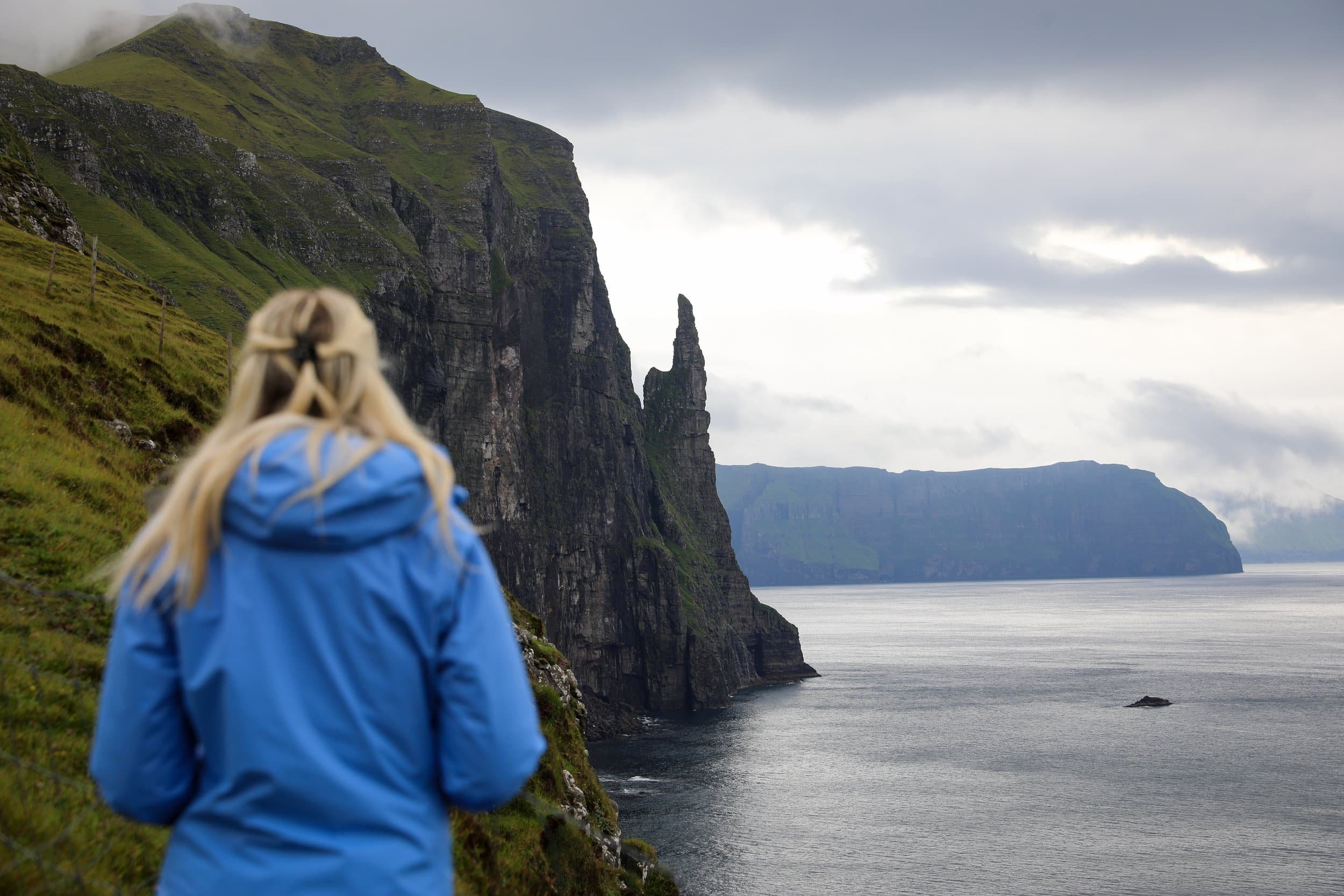
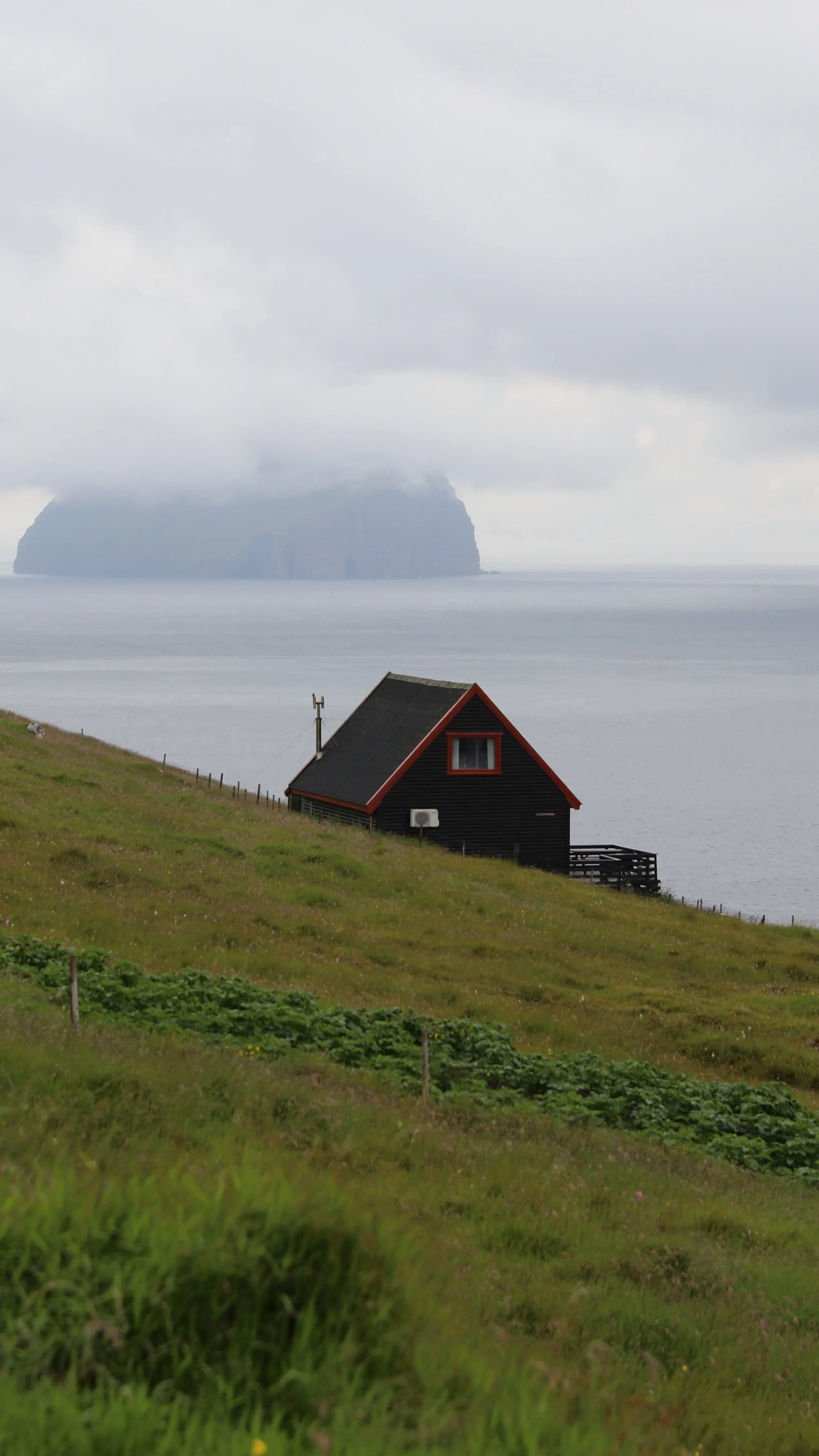
The walk to Trøllkonufingur, or the Witch’s Finger, is a short and easy way to see one of Vágar’s most distinctive coastal landmarks. The tall sea stack rises from the North Atlantic, and the route to the viewpoint offers lovely views across the rugged coastline and water towards Koltur.
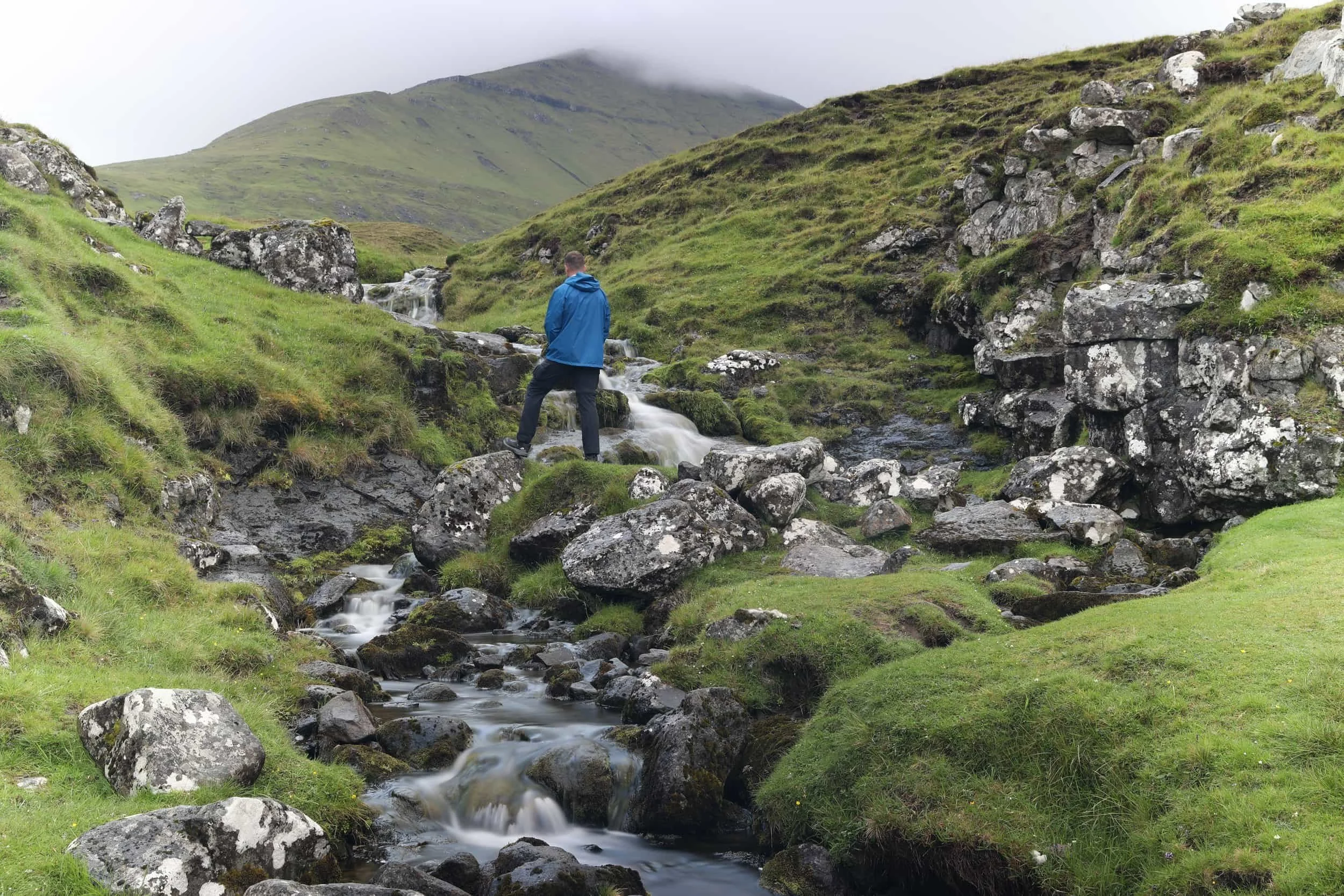
We visited early in the morning in August and had the whole place to ourselves. Near the end of the walk, we passed a gate and a small stream running through the landscape before continuing over a muddy stretch to the viewpoint. It was a peaceful stop, and we had time to enjoy the sea stack and take photos without feeling rushed.
This is more of a short coastal walk than a challenging hike, so it’s easy to add to a day exploring Vágar. If you’re hiking the Faroe Islands, Trøllkonufingur makes a lovely stop to pair with other sights nearby. The final section can be boggy, though, and the viewpoint is fenced, so stay on the marked route.
Hike Overview
Location: Near Sandavágur on Vágar
Trailhead: Designated car park | Google Maps
Distance: About 3 km return
Duration: Around 40 minutes walking; allow about an hour to enjoy the viewpoint
Difficulty: Easy; mostly follows a sealed road, with uneven and muddy ground near the end
Highlights: Views of Trøllkonufingur sea stack and the surrounding coastline
Access: Walk from the designated parking area; visitors can’t drive along the old road to the viewpoint
Cost: Free
Read my detailed guide to the Trøllkonufingur Witch’s Finger Hike
Where to Stay for Hiking to the Trøllkonufingur Witch’s Finger Viewpoint
Sandavágur is a convenient base for visiting Trøllkonufingur and exploring southern Vágar. You can walk from the village to the viewpoint, and Sandavágur is just south of Vágar Airport, making it an easy place to stay when arriving on or leaving the island.
Sørvágsvatn, the famous lake that appears to hang above the ocean, is also very close. The trailhead for the hike to its viewpoint at Trælanípa is only a short drive from Sandavágur.
The best places to stay in Sandavágur are:
Atlantic View Guest House - This apartment in Sandavágur has sea and mountain views, a fully equipped kitchen, private bathroom and free parking. With a private entrance and outdoor seating area, it’s a comfortable base for exploring Vágar.
Hjallurin - A cosy, compact stay in Sandavágur, with a kitchenette, private bathroom and balcony overlooking the sea. It also has a terrace and free parking, making it a nice option for couples looking for a quiet place near the coast.
Practical Tips for Hiking the Faroe Islands
Hiking the Faroe Islands takes a little preparation: the weather changes quickly, and conditions on a mountain or coastal trail may be very different from those in the nearest village. Check the forecast for your route before setting out, and be ready to change your plans if low cloud, strong winds or heavy rain make the hike unsafe.
Check visibility as well as rain. Low cloud can hide views and make exposed or unmarked routes difficult to follow. Avoid unmarked hikes in poor visibility, and turn back if conditions worsen. This is extremely important, especially where you are coming from a country where you may not have experienced conditions like this in the past.
Wear waterproof hiking boots with good grip. Trails can be muddy, boggy, rocky or slippery, and some routes cross streams or exposed rocky surfaces. Having a good pair of boots is your number one piece of kit you want to be taking with you.
Bring waterproof and windproof layers. I tend to consistently where a light weight fleece whilst hiking and keeping my water and wind proof jacket in my bag until it’s needed. Alwyas better to have it with you then to need it and not have it available.
Download offline maps before you leave. Phone reception can be unreliable, especially on remote routes. Save key waypoints and bring a charged phone or power bank. This is a key consideration alongside the weather conditions.
Carry enough food and water. Many trails have no facilities, shops or shelter along the way.
Plan transport and timing. Check ferry and bus timetables in advance, allow enough daylight for your hike and leave a buffer for delays.
Check access rules and fees. Some hikes require a guide or landowner permission, and some have a fee. Confirm the current arrangements before travelling to the trailhead. I have tried to include as much information as possible around mandatory guided hikes in the Faroe Islands.
Stay on the route and keep back from cliff edges. Wet grass, loose ground and strong gusts can make exposed sections hazardous. A lot of major viewpoints in the Faroe Islands have no guard rails, so there is nothing preventing you from going over a steep drop. Caution is fundamental to staying safe.
Related Posts:
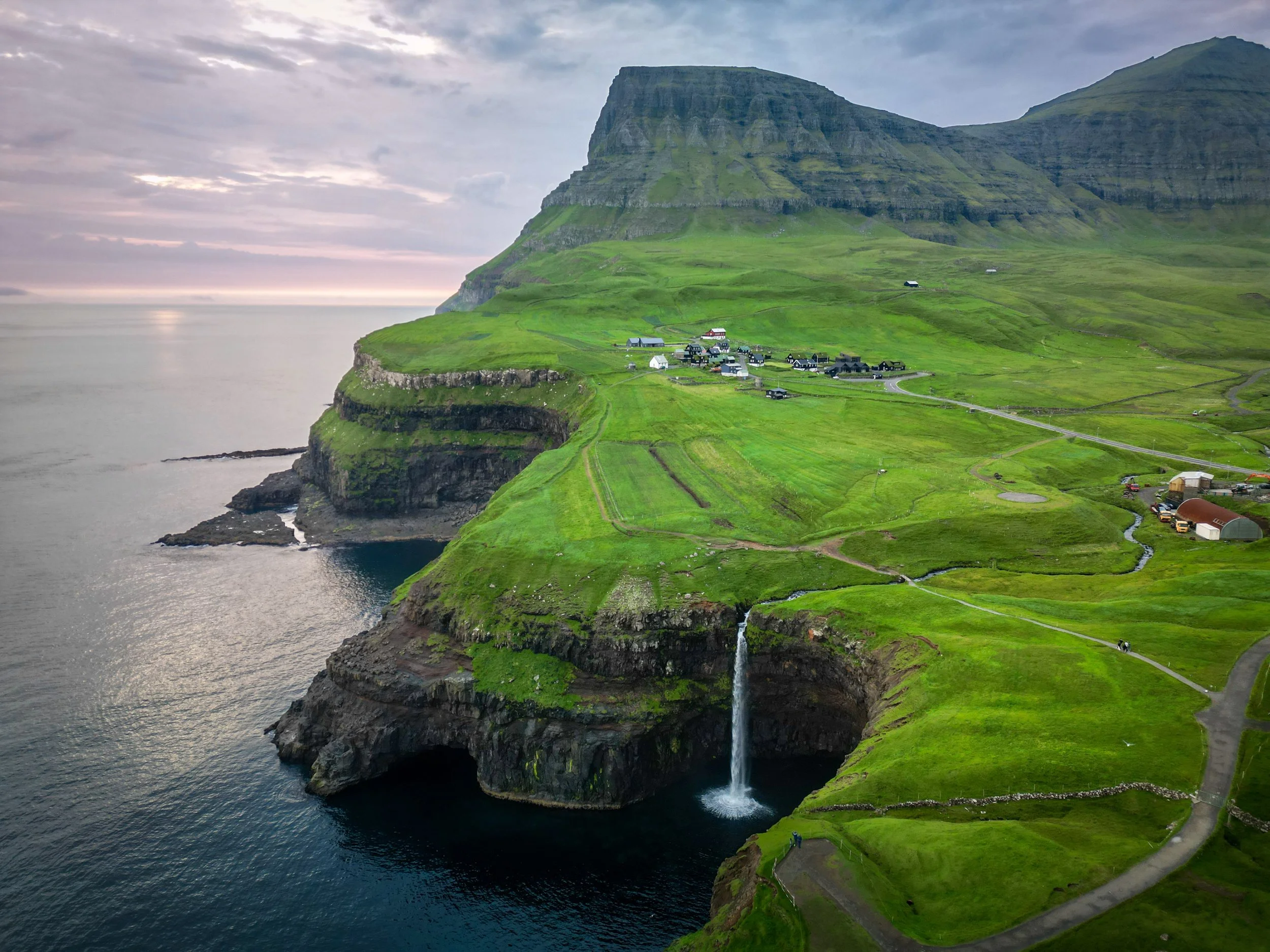
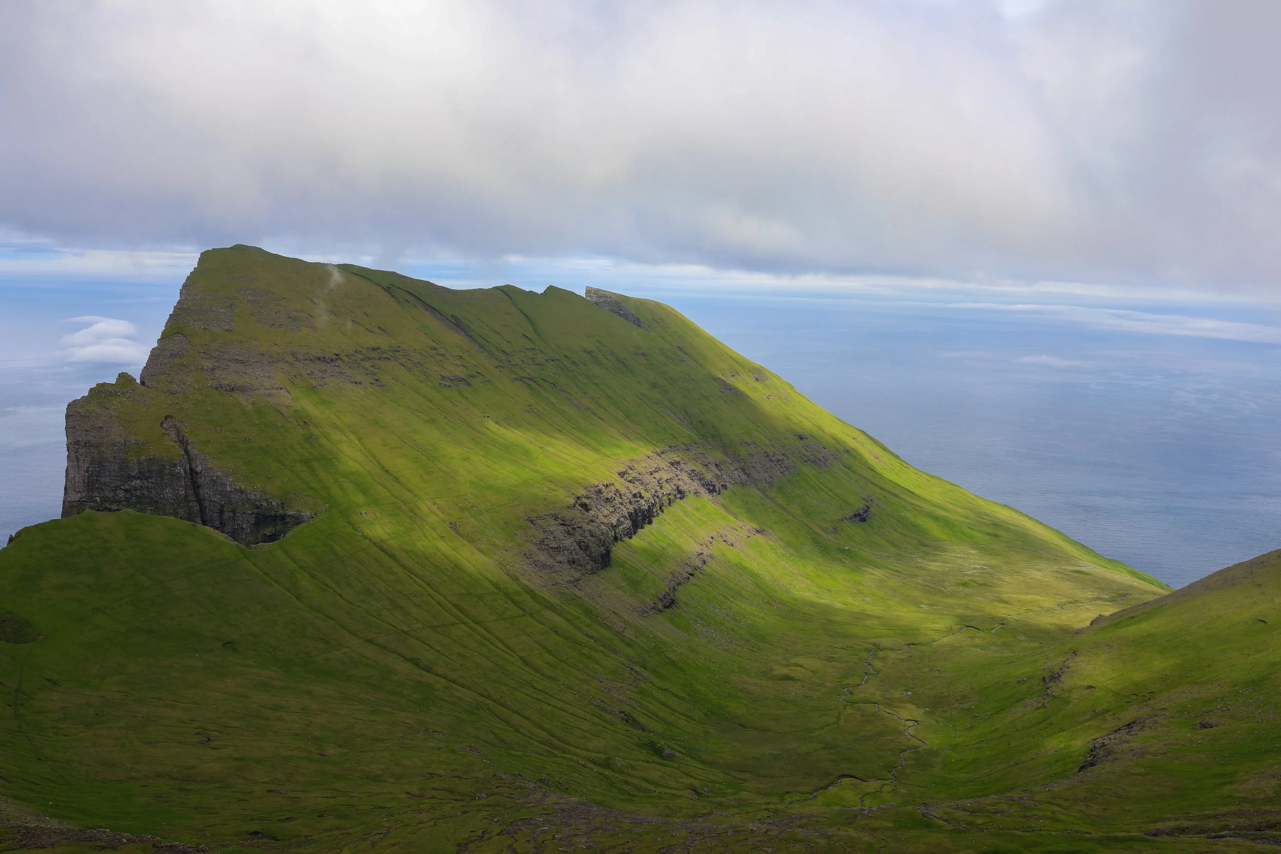
Hiking The Faroe Islands means crossing open mountain ridges, following paths above the North Atlantic and reaching viewpoints that make every climb worthwhile. In this guide, I’m sharing five of my favourite hikes: Mýlingur, Klakkur, Drangarnir, Kallur Lighthouse and Trøllkonufingur. Each offers a different way to experience the islands’ dramatic landscapes, with practical details to help you decide which trails suit your trip.