
Hiking Hvíthamar in the Faroe Islands: What to Know
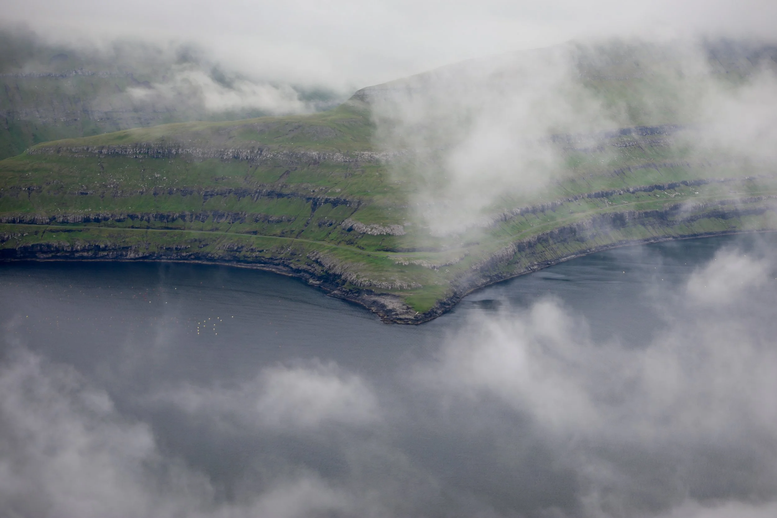
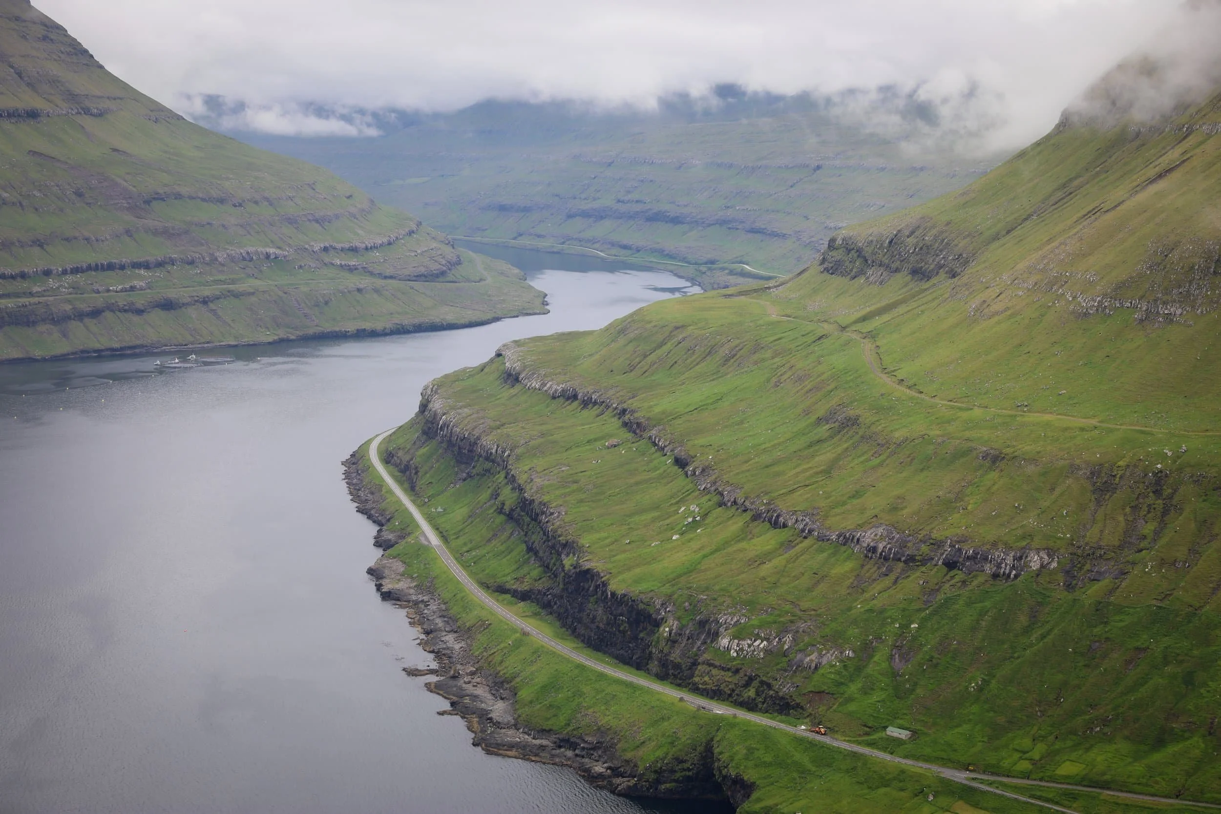
Want sweeping fjord views without spending half a day on the trail? The short hike to Hvíthamar climbs above Funningur on Eysturoy, opening onto a panorama of Funningsfjørður, the surrounding mountains and villages below.
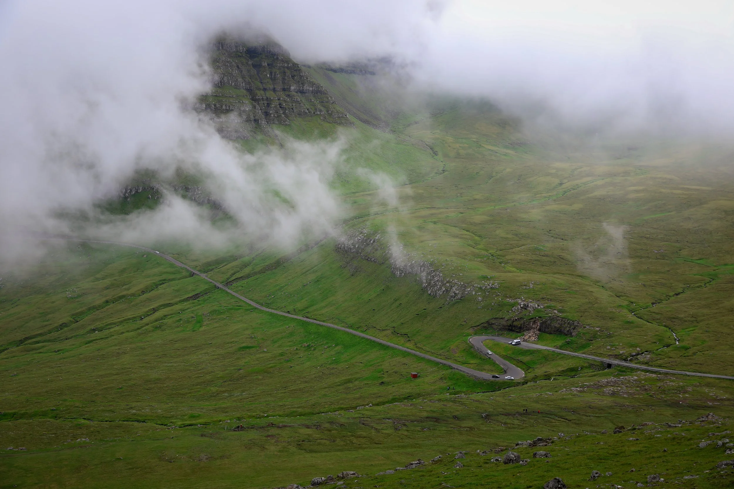
The viewpoint feels especially dramatic when clouds drift across the mountain slopes. When we visited, the shifting cloud formations made the landscape even more striking, and we lingered to take it all in.
In this guide, I’ll explain where to park, how long the walk takes and what to expect on the trail, so you can decide whether to add Hvíthamar to your Faroe Islands itinerary.
Hvíthamar Hike Overview
Trailhead: Signs adjacent carpark | Google Maps
Parking: Along main road | Google Maps
Total Hiking Distance: 1.5 km | round-trip
Total Hiking Duration: 20 minute walk | one way
Difficulty: Moderate
Altitude: 320 meters above sea level
Price: Free entry
Highlights: Wide-open views across Funningsfjørður fjord and the villages Funningur and Elduvík.
Where is the Hvíthamar Hike?
Hvíthamar is a viewpoint on a grassy mountain ridge above Funningur, on the island of Eysturoy in the Faroe Islands. It sits near the Gjáarskarð mountain pass between Funningur and Gjógv, overlooking Funningsfjørður and the surrounding mountains. From the ridge, you can also see the villages of Funningur and Elduvík below.
The viewpoint is about 320 metres above sea level. The short climb gives you a broad view across the fjord and northern Eysturoy, making Hvíthamar a worthwhile stop if you’re exploring the area around Funningur and Gjógv.
Hvíthamar Hike Trailhead
The trailhead is beside the road between Funningur and Gjógv, near Gjáarskarð pass. There’s a small gravel parking area along the roadside, with signs marking the start of the path. From there, follow the trail uphill to the viewpoint. The ground can be muddy and the path isn’t clearly marked in places, so wear sturdy footwear.
If you’re staying in Klaksvík, you can also walk to the trailhead, but be prepared for a steep uphill climb before the hike itself begins.
Hvíthamar Trailhead: Follow signs from the carpark | Google Maps
Faroe Islands Highlights:
How to Get to Hvíthamar
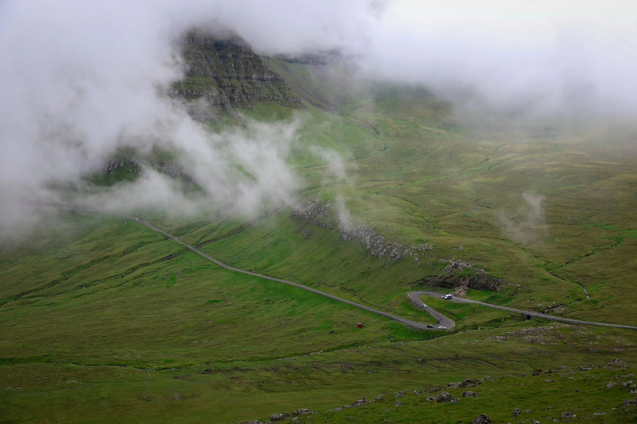
Hvíthamar is about 44 km from Tórshavn, with the drive taking roughly 47 minutes. The trailhead is beside the road near Gjáarskarð pass, between Funningur and Gjógv. Hiring a car is the most practical way to reach it and explore Eysturoy.
Hire Car: Self-Drive from Tórshavn to Hvíthamar
A hire car gives you the most flexibility for visiting Hvíthamar and exploring the Faroe Islands. Avis, Budget and Europcar have rental locations at Vágar Airport and in central Tórshavn. Compare prices and book ahead, particularly in summer.
From Tórshavn, drive north and cross to Eysturoy, then continue towards Funningur and Gjógv. The route is paved, and a standard 2WD is suitable. Near Gjáarskarð, look for the small gravel parking area beside the road; signs mark the start of the path.
The journey details are:
Distance from Tórshavn: Around 44 km
Drive time: Approximately 47 minutes
Roads: Paved; a standard 2WD is suitable
Parking: Small roadside gravel area near the trailhead
Public transport is less convenient: you’d need to connect through Oyrarbakki, and the bus doesn’t stop at the trailhead. Check the Strandfaraskip Landsins website for current routes and timetables.
HvíthamarFaroe Islands Hike Map
This Hvíthamar hike map shows the trailhead near Gjáarskarð, between Funningur and Gjógv on Eysturoy. Use it to locate the start of the walk and see how the viewpoint sits above Funningsfjørður, with views towards the surrounding mountains and villages.
Where to Stay for Hiking Hvíthamar Faroe Islands
Gjógv is a convenient place to stay for hiking Hvíthamar, as it’s close to the trailhead near Gjáarskarð. Staying here also gives you time to explore Gjógv’s sea gorge and village, and enjoy its peaceful setting after a day out on Eysturoy. Accommodation is limited, so book ahead if you’d like to stay in the village.
Klaksvík is another good option, especially if you’re continuing north to hike Klakkur or visit Kalsoy. It has a wider choice of accommodation, restaurants, cafés and shops, though you’ll have a longer drive to Hvíthama
Best Places to stay in Gjógv
Gjógv has limited accommodation, so it’s a good idea to book ahead. If you’d like to stay close to Hvíthamar and experience one of Eysturoy’s most picturesque villages, these are a couple of options to consider:
The best places to stay in Gjógv are:
Iconic Turf -Roof House - A traditional turf-roofed home with three bedrooms, a fully equipped kitchen and a terrace with sea, garden and mountain views. It sleeps up to eight and has free Wi-Fi and private parking, making it a comfortable base for families or groups exploring Gjógv and the surrounding area.
Luxury Cottage with Stunning Views - A spacious holiday home with three bedrooms, a fully equipped kitchen, free Wi-Fi and on-site parking. It also has sea views and barbecue facilities, making it a lovely option for a relaxed stay in Gjógv.
Best Places to stay in Klaksvík
Klaksvík has a good range of accommodation, places to eat and shops for picking up supplies. Its central ferry terminal also makes it easy to plan a trip to Kalsoy, while the town is a handy base for exploring the northern islands.
We stayed in Klaksvík at the The Sybilla Apartment during our Faroe Islands road trip and found it a great base. Here are two options to consider:
The Sybilla Apartment - is where we stayed in Klaksvík, and we loved it. This cosy, modern apartment has a well-equipped kitchen, free parking and lovely artwork, and it’s in a quiet neighbourhood about a five-minute walk from the town centre and ferry. It is also fairly reasonably priced compared to a lot of other places especially considering what you get.
KG Hotel - is a modern hotel in Klaksvík, with comfortable rooms, free Wi-Fi and on-site parking. It also has a restaurant, café, bar and spa with a sauna, making it a good option if you’d like dining and wellness facilities during your stay.
Featured Faroe Islands Posts:
When to Hike Hvíthamar
Late spring through early autumn is the easiest time to hike Hvíthamar, when longer daylight gives you more flexibility and the trail is generally more accessible. The walk is short, so you don’t need to plan around sunrise or sunset, but visiting in good light can make the views across Funningsfjørður and the surrounding mountains especially striking.
You can visit outside these months too, but check the forecast and road conditions before setting out. Low cloud can obscure the fjord and mountains, while rain can make the grassy trail muddy and slippery. The weather can change quickly in the Faroe Islands, so bring waterproof and windproof layers whatever the season.
The day we went the cloud patterns actually enhanced the experience ten-fold.
What is the Hvíthamar Hike Like?
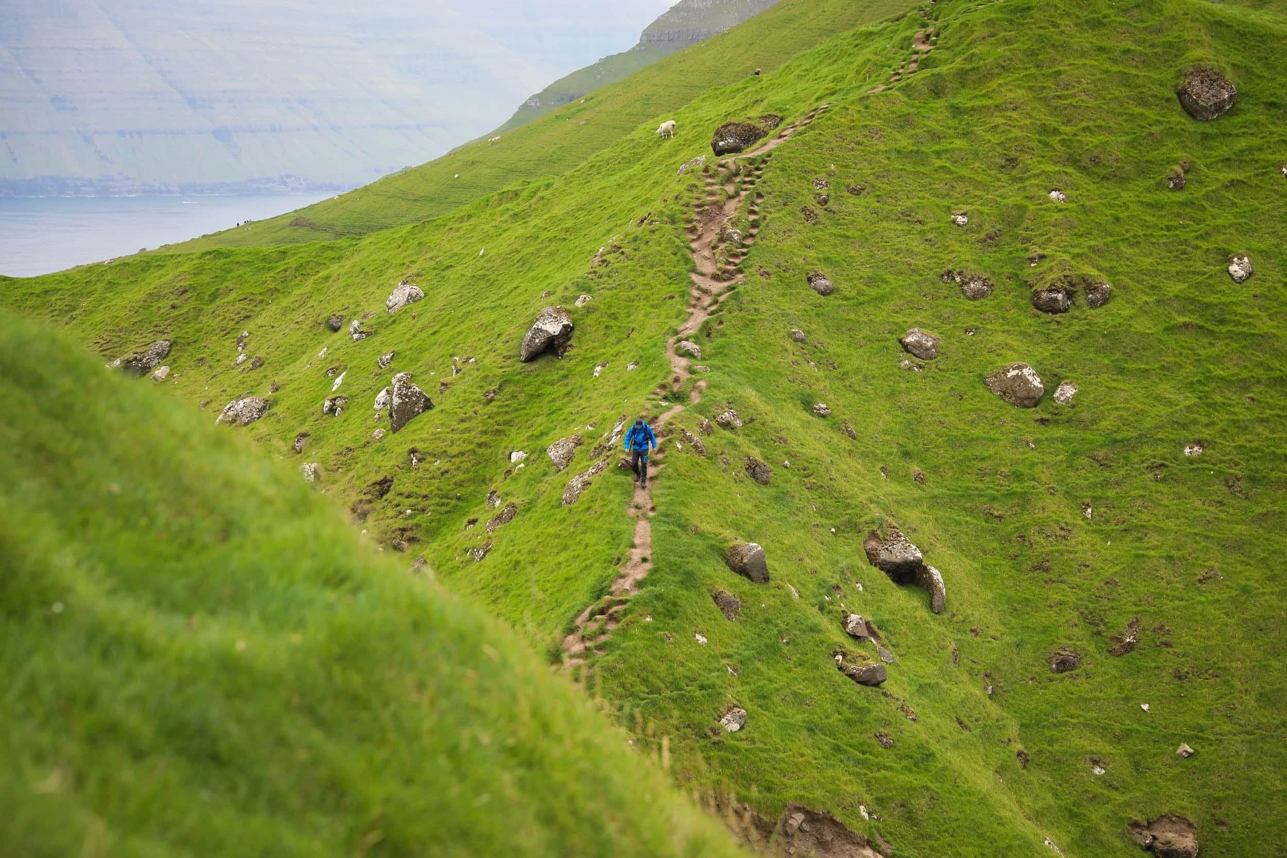
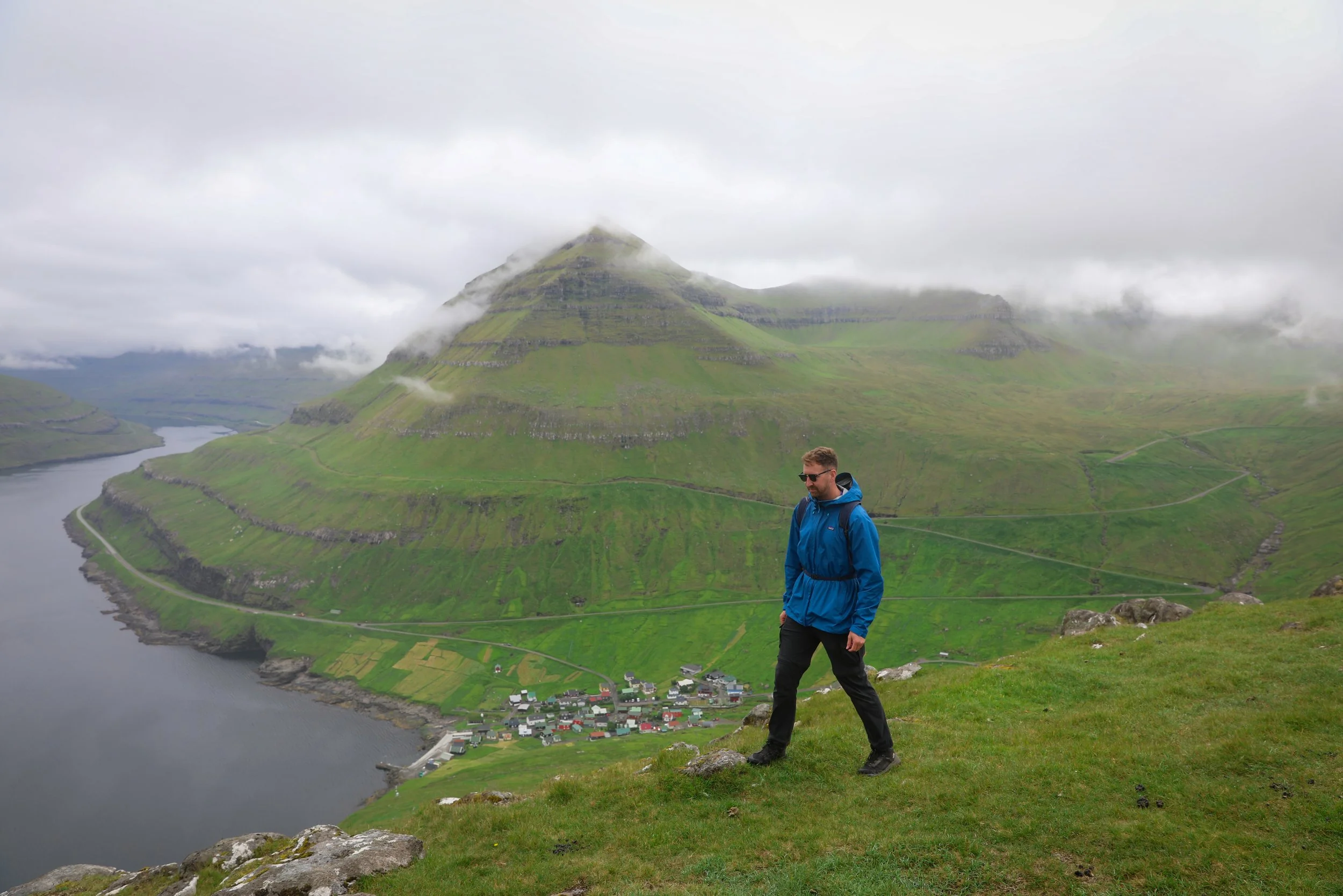
The Hvíthamar hike starts beside the road near Gjáarskarð pass, between Funningur and Gjógv on Eysturoy. From the small roadside parking area, the path climbs over open grassy slopes towards the ridge. It’s a short walk, but the trail can be muddy and is not clearly marked throughout, so watch your footing as you go.
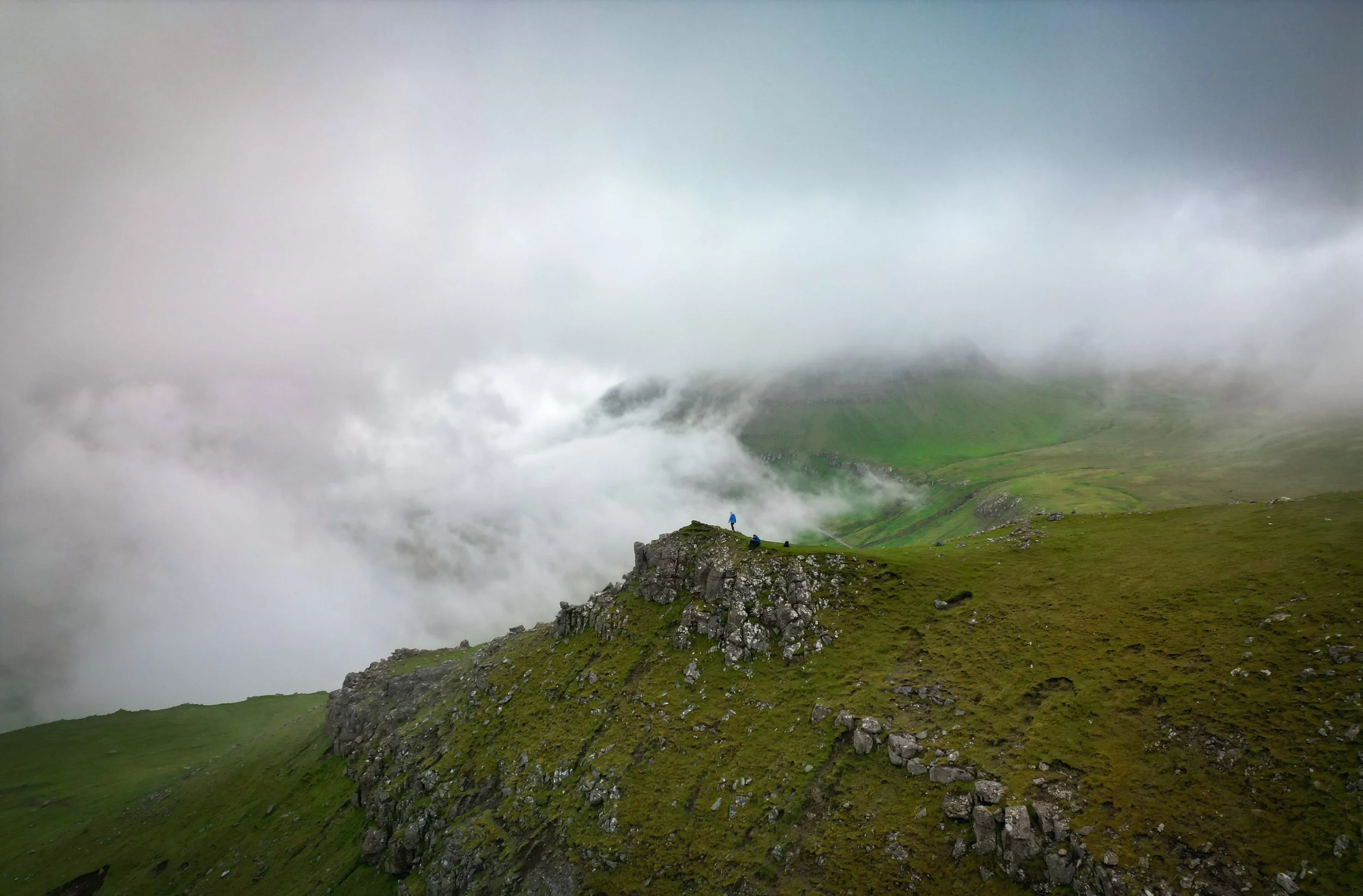
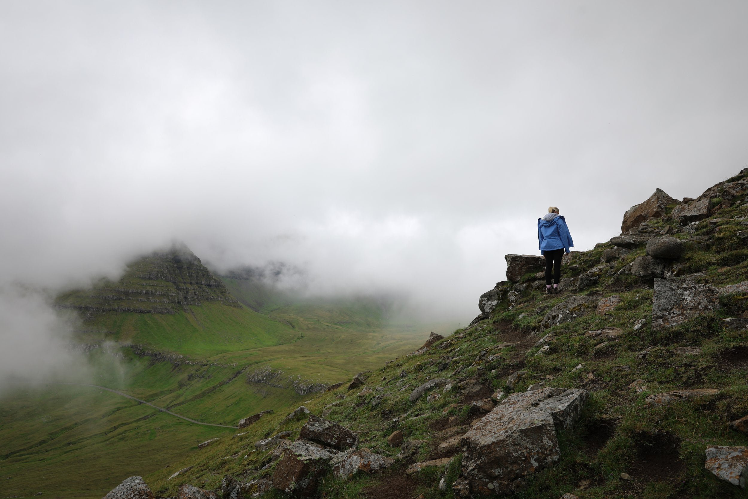
As you gain height, views open across Funningsfjørður, with the villages of Funningur and Elduvík and the surrounding mountains in view. The panorama develops along the way, so you don’t have to wait until the top to enjoy the scenery. When we visited, clouds moving across the mountains made the landscape especially dramatic.
How Difficult is the Hike?
Hvíthamar is a short hike with a moderate uphill climb. It doesn’t require technical hiking skills, but the path is grassy, uneven and can be muddy, so it may feel more challenging in wet conditions. The ridge is exposed to the weather, so take care in strong winds or low visibility.
It was honestly one of the easier hikes we did in the Faroe Islands and if you are super experienced you can always just walk to the main lookout with no elevation gain from the carpark.
Hvíthamar Hike Time?
The trail is around 1.5 km return, with approximately 20 minutes of walking each way. Allow about an hour or longer if you’d like time to enjoy the viewpoint and take photos. There’s no need to rush, the changing cloud and light can make the view feel quite different from one moment to the next.
We ended up spending nearly 2 hours here purely because the low clouds were continually changing the scenery.
What to Wear and Bring
The Hvíthamar walk is short, but the ground can be soft and slick underfoot, especially after rain. Wear hiking shoes or boots with a solid grip; trainers can be uncomfortable on the muddy sections. The ridge is exposed, so bring a windproof waterproof layer even if it feels calm when you leave the car.
There’s nowhere to refill water or buy supplies at the trailhead, so bring a drink with you. Before setting off, check the cloud as well as the rain forecast: the shifting mist can make the view feel wonderfully dramatic, but thick low cloud may hide the fjord altogether.
Is Hiking Hvíthamar in the Faroe Islands Worth it?
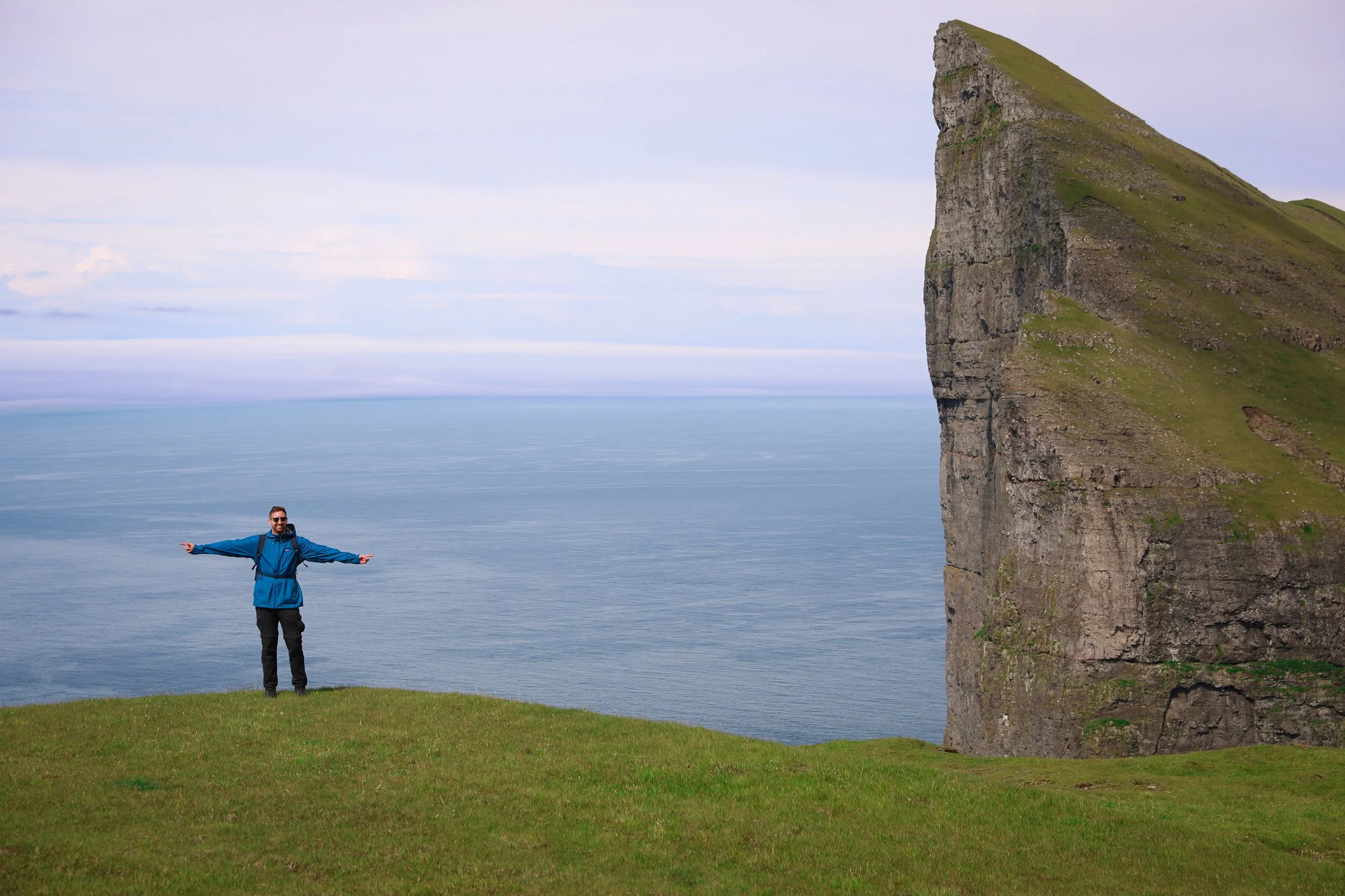
Yes, Hvíthamar is an easy stop to recommend if you’re driving across Eysturoy. The trailhead is already high above the coast, so the short walk brings you to a dramatic viewpoint without a long climb. From the ridge, you can look down over Funningur and Funningsfjørður, with mountains and the North Atlantic stretching beyond.
If you’re travelling from Vágar towards Klaksvík, Hvíthamar makes a natural stop along the way. It’s also close to Gjógv, making the viewpoint easy to fit into a stay there. Just be prepared for muddy ground after rain, which can make the brief walk slower and trickier.
I must be honest in saying though that it didn’t quite manage to make my list of The Top 5 Best Hikes in the Faroe Islands.
Our Experience Hiking to Hvíthamar
We visited Hvíthamar one morning after leaving Gjógv. It had been raining for much of the day, so we weren’t expecting much of a view. The ground was soaked, and large puddles and patches of mud covered parts of the path. A few planks had been laid across the worst spots to help us get over them, and we picked our way along until we reached the main viewpoint.
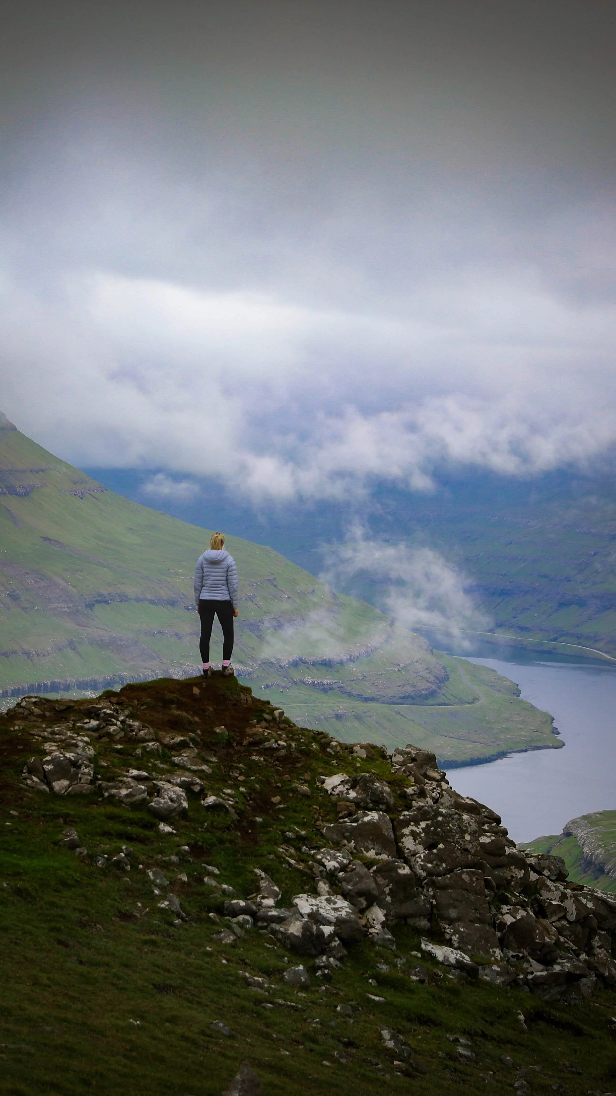
The view was stunning, with something to see in every direction. We continued along the ridge to a small rocky outcrop and stayed there for a while as clouds rolled through, repeatedly changing the scene. Watching them gather around the mountains above the Atlantic was one of my favourite parts of the visit.
Related Posts:
Step into the dramatic landscapes of Saksun, where a turf-roofed church, a tidal lagoon and a black-sand beach sit beneath the rugged mountains of Streymoy. This guide will help you plan your visit to one of the most distinctive places in the Faroe Islands, with practical details on what to see, getting around the village and how the tides shape access to the shore.