
Map of Etosha National Park: Camps, Gates & Waterholes
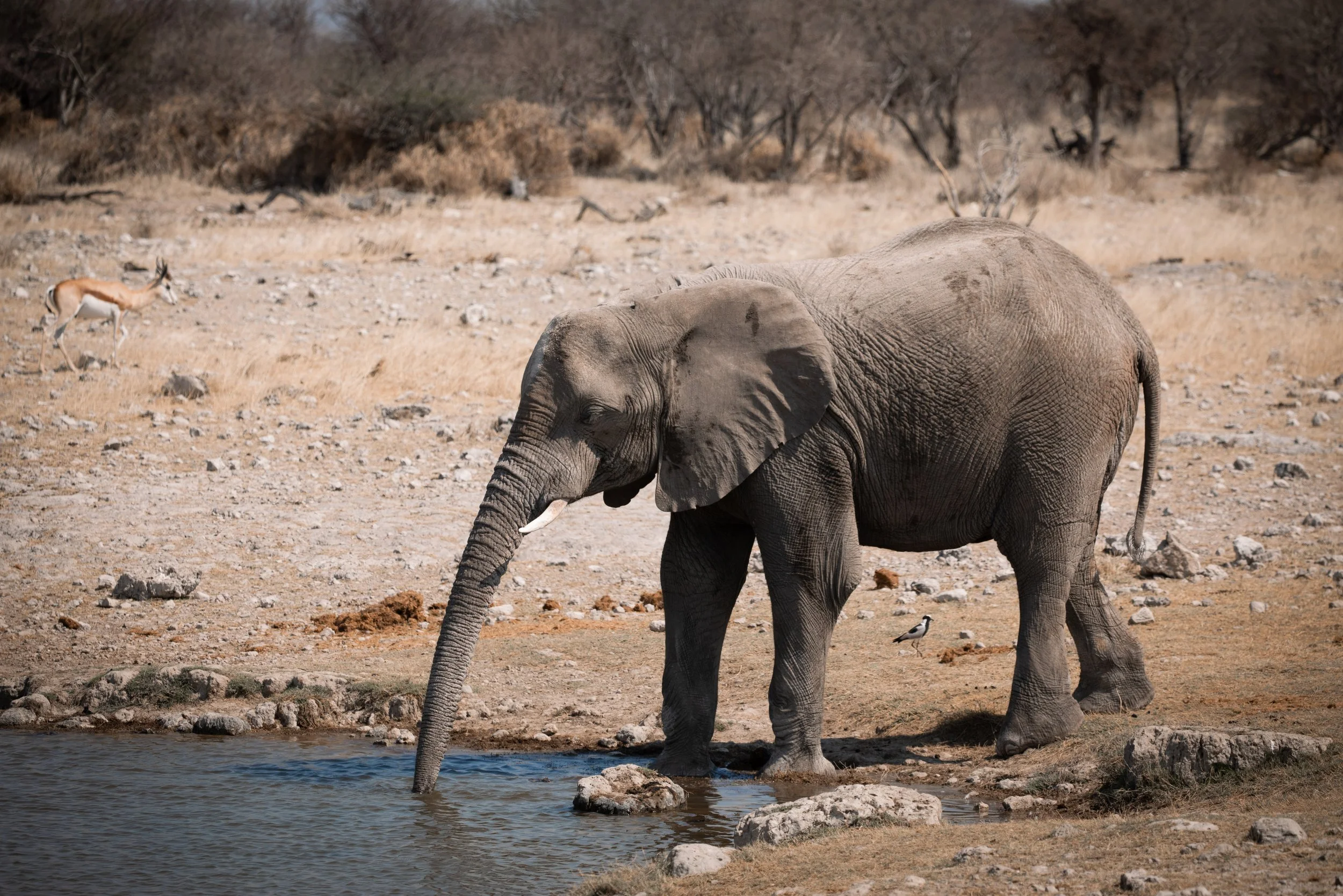
Etosha National Park was one of the highlights of our Namibia road trip, with vast open landscapes, busy waterholes and unforgettable wildlife encounters around every corner. After spending three nights exploring the park, I found that understanding the layout of Etosha made it much easier to plan our drives and decide which areas to visit.
This map of Etosha National Park includes the key camp locations where we stayed, along with the waterholes we visited, main gates, roads and other important points of interest. I hope it helps you get a better sense of the park’s geography and plan your own self-drive safari through Etosha.
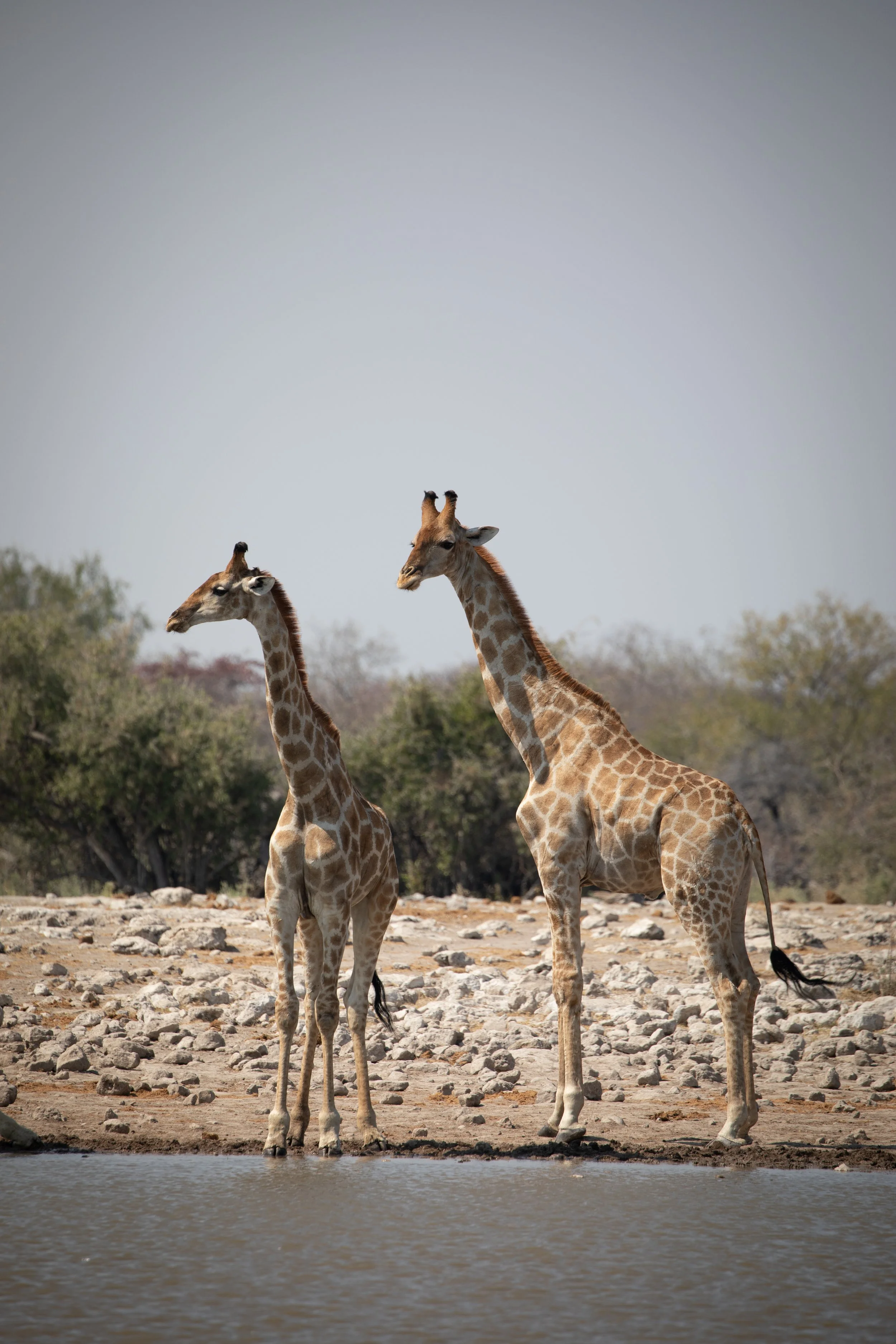
Etosha National Park Map Guide
Location: Etosha National Park, Namibia
Region: Northern Namibia
Main Areas: Wester, Central and Eastern Etosha
Key Camps: Okaukuejo, Halali and Namutoni
Main Access Gates: Anderson, Galton, Von Lindequist and King Nehale
Major Attractions: Etosha Pan, wildlife waterholes and the park’s main safari routes
Map of Etosha National Park
The map of Etosha National Park below provides an overview of the park’s location in northern Namibia, including its main access gates, camps, roads and key wildlife-viewing areas. It also shows how the western, central and eastern sections connect across this vast national park.
Etosha is much larger than it can initially appear, and travel between camps and waterholes can take longer than expected. This map of Eotsha National Park gives you a useful sense of the park’s scale before looking at the individual locations and planning your own self-drive route.
Where is Etosha National Park Located?
Etosha National Park lies in northern Namibia, around 435 kilometres north of Windhoek. Covering approximately 22,750 square kilometres, it is one of Africa’s largest and most accessible wildlife destinations. The park is centred around the vast Etosha Pan, a dry salt basin that attracts large numbers of animals to the surrounding waterholes during the dry season.
Understanding Etosha’s Regions
Etosha is generally explored through its western, central and eastern sections, each offering different landscapes, wildlife-viewing opportunities and access points. The central area around Okaukuejo is particularly well known for its productive waterholes, while Halali provides access to the central part of the park and Namutoni is an ideal base for exploring the eastern region.
During our three nights in Etosha, we travelled between the main camp areas and visited several waterholes, each offering a different chance to see wildlife. Understanding how these sections connect is especially helpful when planning your route, as distances between camps and waterholes can be greater than they first appear on a map.
Which Region of Etosha National Park is Best?
Each region of Etosha National Park offers something different. The western section is generally quieter and more remote, with rugged landscapes, fewer visitors and access to areas such as Dolomite Camp and Galton Gate. The central section is the most convenient for many travellers, with easy access to Okaukuejo and Halali, numerous waterholes, a strong concentration of wildlife and a good mix of open plains and denser vegetation. The eastern section is known for its woodland landscapes, Namutoni Camp, diverse birdlife and access to the quieter areas around the eastern end of the Etosha Pan.
Of the three regions, central Etosha was my favourite. It offered the best balance of convenience, wildlife-viewing opportunities and varied scenery, with several well-known locations concentrated within a relatively short driving area. It was also the easiest section to explore during our three-night visit, particularly because we could base ourselves near the main camps and spend more time at the waterholes.
That said, the best region will depend on how much time you have and what type of experience you want. The detailed maps of Etosha National Park below break down the western, central and eastern sections of Etosha, showing the main gates, camps, roads, waterholes and attractions in each area. These should help you decide where to stay and plan a route that suits your trip.
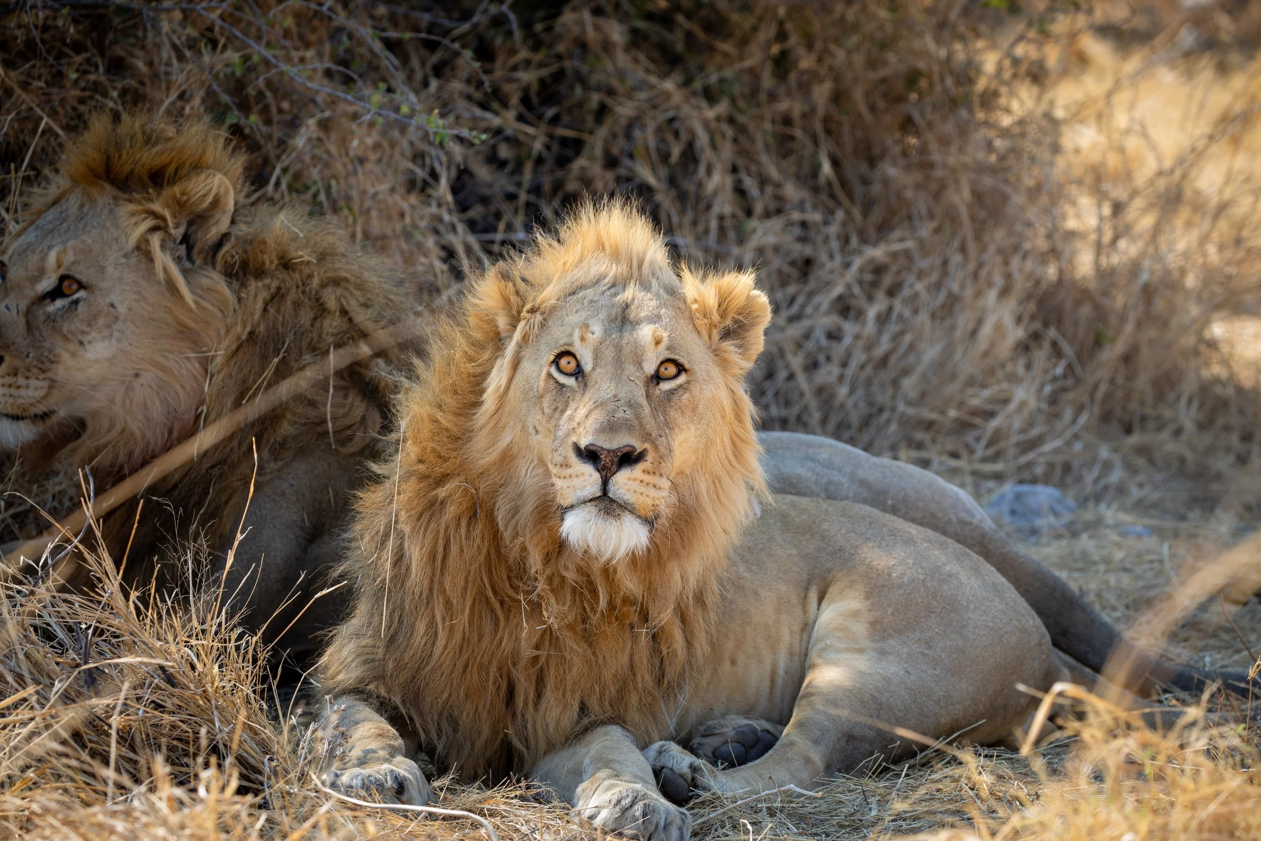
Central Etosha Map
Of all the areas we explored in Etosha National Park, the central section would be my top recommendation for most visitors. It offers the best combination of convenience, wildlife and variety, with Okaukuejo and Halali providing comfortable bases for exploring several of the park’s most productive areas without needing to travel vast distances each day.
Central Etosha also has an impressive mix of landscapes within a relatively compact area. The roads pass through open plains, dry woodland and denser vegetation, creating opportunities to see a wide range of species in a short period of time. Many of the park’s well-known waterholes and wildlife-viewing locations are found here, while the Etosha Pan Lookout provides access to the dramatic salt-pan scenery that makes the park so distinctive.
If you have limited time in Etosha, this is the area I would prioritise. During our visit, it gave us a practical base, frequent opportunities for wildlife sightings and enough landscape variety to make each drive feel different. The map of Etosha National Park below shows the camps, roads, waterholes and key locations that make central Etosha such a rewarding area to explore.
How To Get To Central Etosha
The main entrance is Andersson Gate, located south of Okaukuejo. From the gate, it is a short drive to Okaukuejo Camp, making this one of the most convenient entry points for visitors travelling from Windhoek or the nearby town of Outjo.
Central Etosha can also be reached from the west via Galton Gate or from the east by travelling through the park from Namutoni. Because the distances between sections are considerable, it is worth allowing plenty of time when driving between camps.
Camps and Accommodation in Central Etosha
Okaukuejo Camp is the main base in western-central Etosha and is particularly famous for its floodlit waterhole, where wildlife can often be seen after dark. The camp also has a shop, restaurant, swimming pool and fuel station.
Further east, Halali Camp provides a convenient base for exploring the central section of Etosha. It is positioned between Okaukuejo and Namutoni, making it useful for breaking up the journey across the park.
Waterholes and Key Locations in Central Etosha
The waterholes around Okaukuejo include Olifantsbad, Ondongab, Gemsbokvlakte, Okaukuejo and Aus. Okaukuejo Waterhole is particularly popular because it is located beside the camp and can be viewed from the floodlit viewing area, making it possible to watch wildlife after dark without leaving the camp.
Around Halali, notable waterholes include Moringa, Goas, Salvadora, Sueda and Nuamses. These waterholes are spread along the surrounding roads and offer a good reason to explore beyond the camp itself. Each one has a different setting, and patiently waiting can reveal elephants, giraffes, zebras, antelope and other wildlife coming in to drink.
The Etosha Pan Lookout is another notable stop shown on the map of Eotsha Nationla Park. Although wildlife is not guaranteed at every waterhole, the lookout provides a chance to appreciate the enormous scale of the salt pan and the unusual landscape that makes Etosha so distinctive. During our visit, we enjoyed driving between the waterholes, stopping whenever something caught our attention and taking the time to watch the surrounding area.
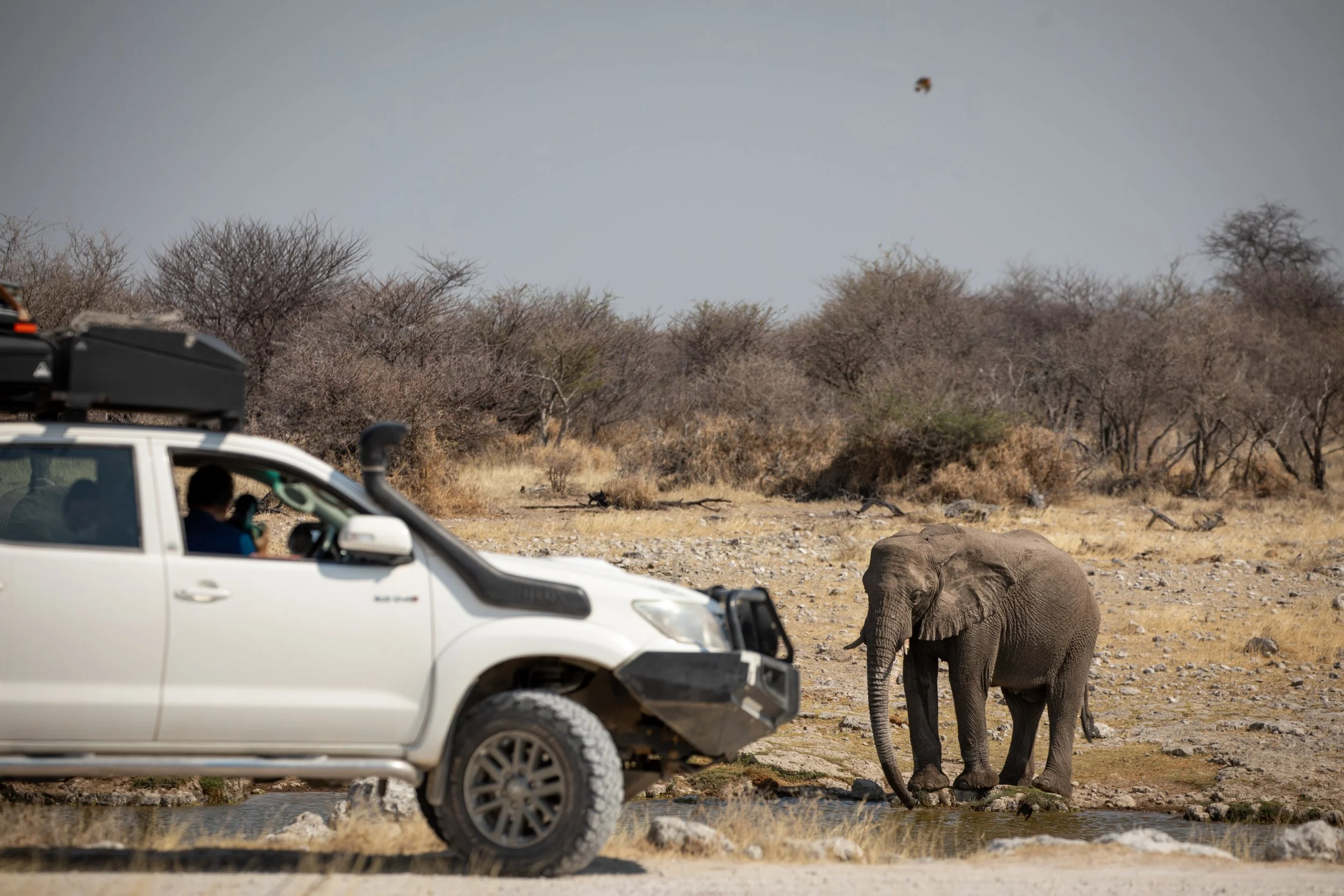
Eastern Etosha Map
The eastern section of Etosha National Park offers a different experience from the more open landscapes around Okaukuejo and Halali. This area is generally greener and more wooded, with mopane and tamboti trees creating a varied habitat for elephants, giraffes, antelope and a wide range of birdlife. It is also home to Namutoni Camp, the eastern end of the Etosha Pan and several quieter roads and waterholes.
Eastern Etosha is a particularly good choice for travellers who want to explore beyond the park’s busiest central areas. The landscapes feel more enclosed in places, while the open plains and pan edges provide a contrast that makes each drive feel different. The area also gives visitors access to well-known locations such as Namutoni Fort, Fischer’s Pan and the eastern waterhole circuit.
How To Get To Central Etosha
The main entrance is Von Lindequist Gate, located to the east of Namutoni Camp. This gate is convenient for travellers arriving from Tsumeb, Otavi or the northern parts of Namibia. The eastern section can also be accessed through King Nehale Gate, which is located north of the Etosha Pan.
Visitors travelling from Okaukuejo or Halali can reach the eastern section by following the main park road towards Namutoni. However, the distances are significant, so it is generally more practical to stay in or near the eastern section if you want enough time to explore its waterholes and surrounding roads.
Camps and Accommodation in Central Etosha
Namutoni Camp is the main accommodation base in eastern Etosha National Park and is built around a historic German fort. Its location makes it convenient for exploring the eastern waterholes, Fischer’s Pan and the roads around the Etosha Pan.
There are also several accommodation options outside the park near the eastern entrance, including lodges around Onguma and Mushara. Staying outside the park can provide a quieter or more comfortable base, although staying inside Namutoni allows you to be closer to the waterholes and begin your self-drive earlier in the morning.
Waterholes and Key Locations in Central Etosha
The eastern section is home to waterholes including Klein Namutoni, Kalkheuwel, Chudop, Ngobib and Tsumcor. These locations pass through a mixture of woodland, open grassland and pan-edge habitats, giving you the chance to see different species throughout the day. Klein Namutoni is particularly well known for black-faced impala, while the surrounding roads can also be productive for giraffe, elephant, kudu and zebra.
Fischer’s Pan is another notable location near Namutoni. After good seasonal rains, it can attract large numbers of waterbirds and creates a striking contrast to the dry landscapes found elsewhere in the park. Namutoni Fort is also worth visiting, offering a historical point of interest and a different experience from simply driving between waterholes. During our visit, the combination of woodland, open plains and pan scenery made the eastern section feel distinct from the central areas of Etosha.
Western Etosha Map
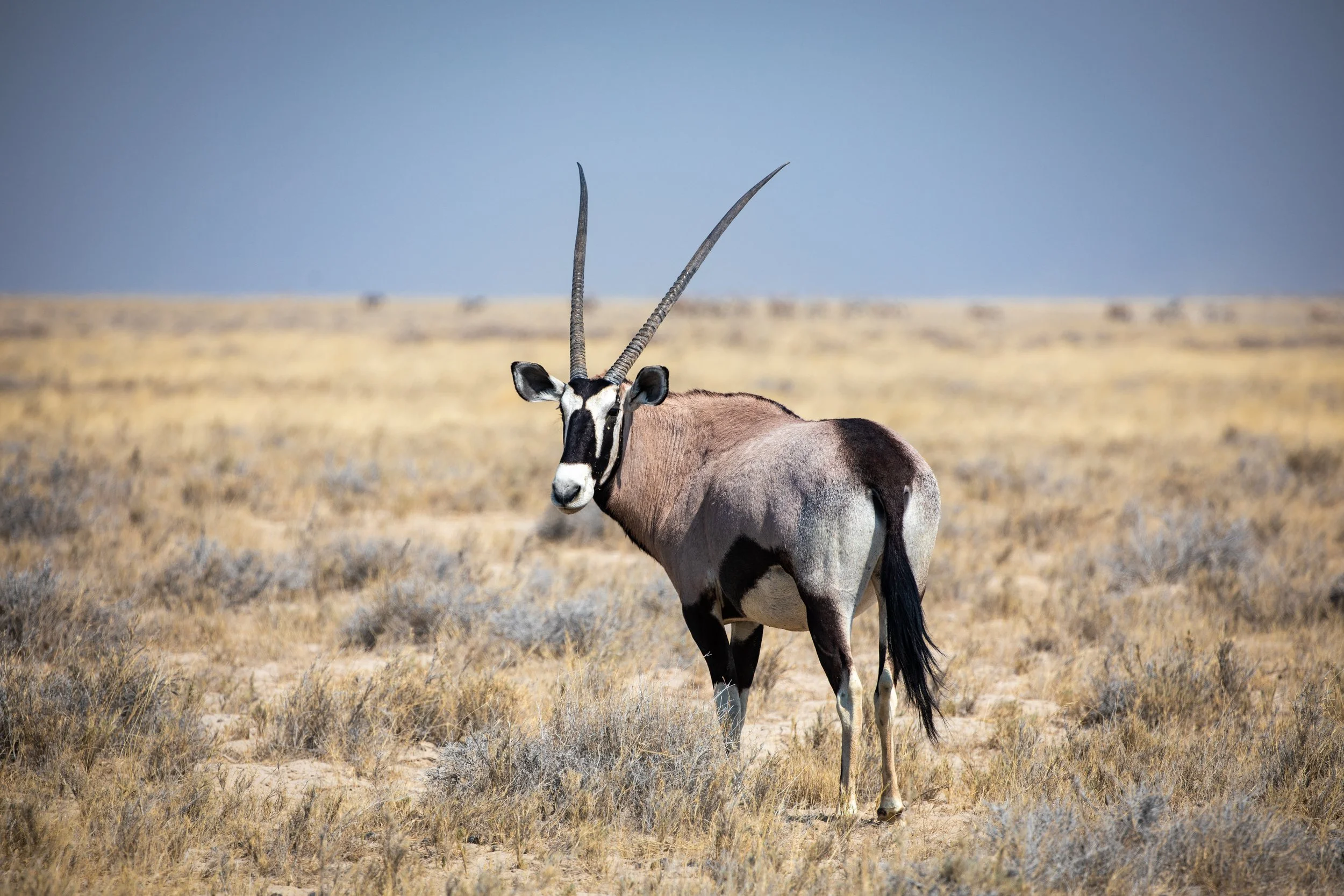
The western section of Etosha National Park is the most remote and least developed part of the park. It offers a quieter safari experience, with fewer visitors, rugged scenery and a greater sense of being away from the main tourist route. The landscape becomes more varied towards the west, with open plains, dry riverbeds, rocky areas and thicker vegetation creating different habitats for wildlife.
Western Etosha is a good choice for travellers who want to see a less-visited side of the park and are happy to spend more time on the road. The region is also known for its remote camps, scenic drives and opportunities to explore areas that feel noticeably wilder than the central section. However, the distances are greater and there are fewer facilities, so it requires more planning. For that reason, I would only suggest adding western Etosha if you have plenty of time in the park, as the central and eastern sections offer a more convenient and concentrated safari experience for shorter visits.
How To Get To Western Etosha
The main entrance is Galton Gate, located on the western side of the park. It is the most convenient access point for travellers arriving from Kamanjab, Palmwag or the Skeleton Coast area. The western section can also be reached by travelling west from Okaukuejo, although this involves longer driving distances.
If you enter through Galton Gate, it is important to plan your accommodation and fuel carefully. The western section has fewer services than the central and eastern areas, and visitors should allow extra time for the slower pace of self-driving and the longer distances between key locations.
Camps and Accommodation in Western Etosha
Dolomite Camp is the main accommodation base in the western section and provides access to some of the park’s more remote roads and wildlife-viewing areas. Its elevated location also offers impressive views over the surrounding landscape.
Olifantsrus Camp is another important base in western Etosha National Park and is particularly suited to travellers camping in the park. It is positioned near remote waterholes and provides a quieter alternative to the larger camps around Okaukuejo and Halali.
Travellers who do not stay inside the park can also find accommodation near the western approach, including lodges around Kamanjab, Hobatere and the southern side of Etosha. Staying outside the park may offer more accommodation choices, but staying inside allows you to make better use of the early morning and late afternoon wildlife-viewing periods.
Waterholes and Key Locations in Western Etosha
The western section includes waterholes such as Olifantsbad, Ondongab, Ozonjuitji m’Bari and Rateldraf. Because this area receives fewer visitors, the waterholes can feel more peaceful, with fewer vehicles competing for the best viewing position. The surrounding vegetation and rocky terrain also create different wildlife-viewing conditions from the open plains around Okaukuejo.
One of the main attractions of western Etosha is the opportunity to explore a less-visited landscape. The roads around Dolomite Camp and Olifantsrus can produce sightings of elephants, giraffes, zebra, antelope and rhino, although wildlife is often more spread out than in the central section. The best approach is to drive slowly, allow plenty of time and treat the journey itself as part of the experience.
Western Etosha is not necessarily the easiest region for a short visit, but it is an excellent option for travellers who want solitude, remoteness and a more adventurous safari experience.
Related Posts:
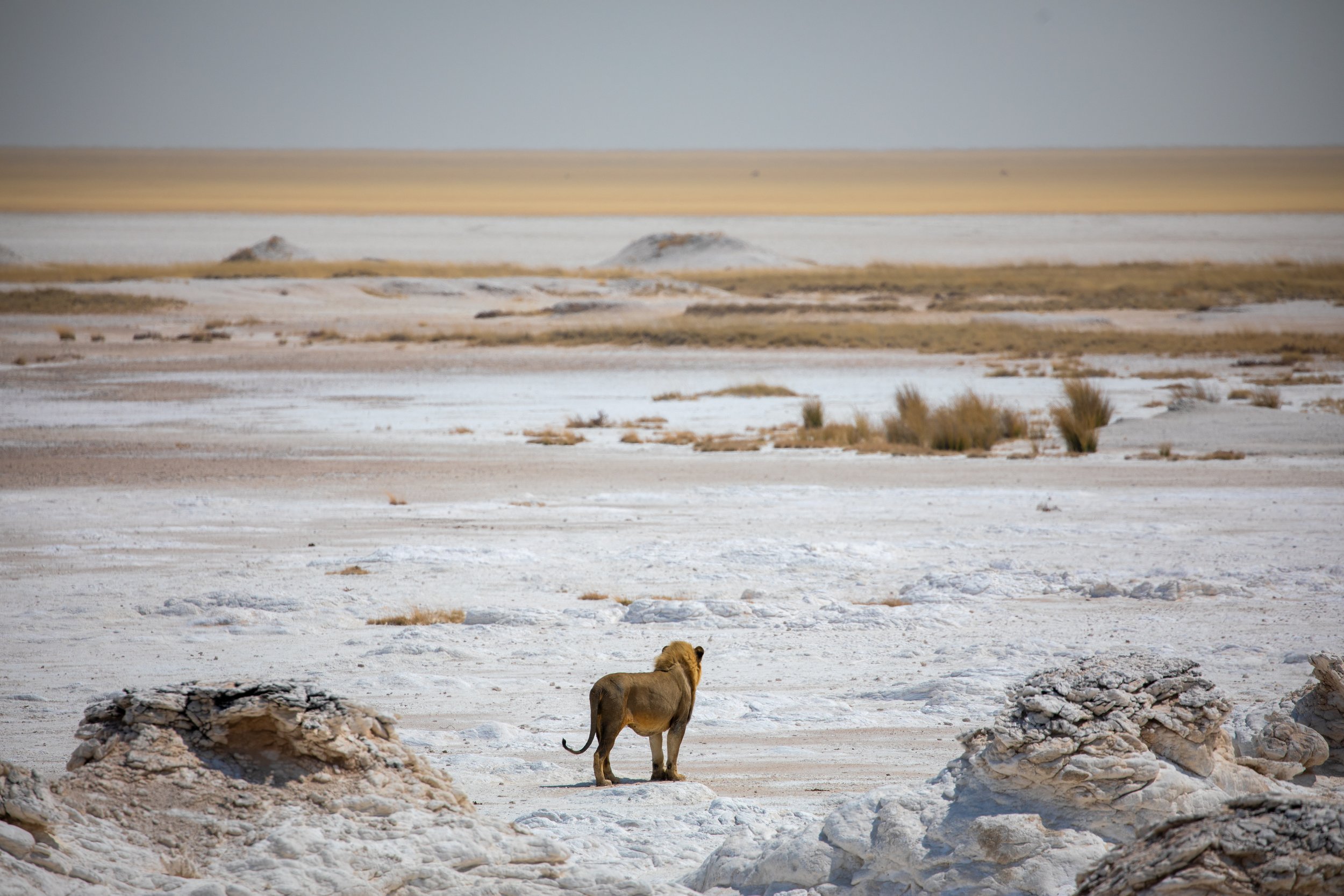

Use this detailed map of Etosha National Park to locate the park’s main camps, gates, waterholes, roads and wildlife-viewing areas. Discover Okaukuejo, Halali, Namutoni and other key attractions across one of Namibia’s most remarkable safari destinations. Whether you’re planning a self-drive adventure or guided game drives, this map will help you understand Etosha’s geography and plan your route.