
Raja Ampat Map: Islands, Regions, Dive Sites & Attractions
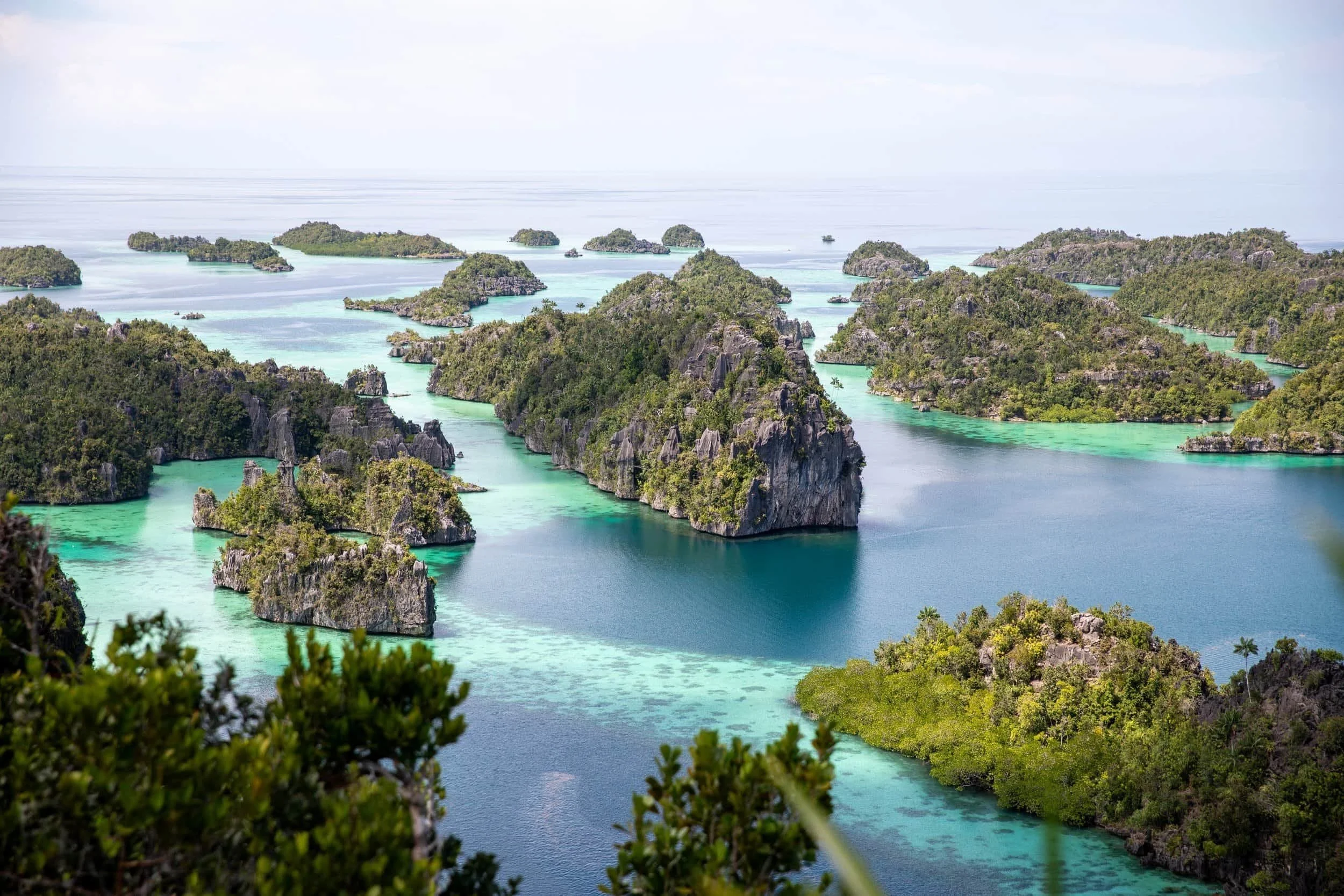
Raja Ampat is one of Indonesia’s most spectacular island destinations, renowned for its crystal-clear waters, dramatic limestone karst landscapes and extraordinary marine biodiversity. Spread across hundreds of islands and islets off the coast of West Papua, the archipelago is divided into several distinct regions, each offering its own unique scenery, dive sites and attractions.
This detailed Raja Ampat map collection covers the key regions of Waigeo, Dampier Strait and Misool, helping you navigate the archipelago's islands, attractions and travel routes with ease.
Raja Ampat Overview Map
The Raja Ampat map below shows the overall layout of Raja Ampatand the location of its main regions in relation to Sorong, the primary gateway to the archipelago. Most visitors arrive in Sorong before travelling by ferry or speedboat to Waisai on Waigeo, which serves as the main entry point for exploring Raja Ampat.
The majority of tourism is concentrated around Waigeo and Dampier Strait, where islands such as Kri, Gam, Mansuar and Arborek are located. Further south lies Misool, a more remote region known for its dramatic limestone karst islands, hidden lagoons and world-class dive sites. Understanding the distance between these regions is essential when planning a trip, as travel times between destinations can range from a few hours to a full day by boat.
Use this Raja Ampat map to familiarise yourself with the geography of Raja Ampat before exploring the more detailed regional maps below. Understanding the map will also help with deciding where to go as a part of your Raja Ampat Itinerary
Where is Raja Ampat Located?
Raja Ampat lies within Southwest Papua Province in eastern Indonesia and forms part of the Coral Triangle, one of the most biodiverse marine environments on Earth. The archipelago covers a vast area of ocean and includes more than 1,500 islands, cays and shoals. While only a small number of these islands are inhabited, they collectively create one of the world's most spectacular island landscapes, known for its limestone karst formations, turquoise lagoons and exceptional marine life.
Understanding Raja Ampat’s Regions
Raja Ampat is traditionally made up of the Four Kings islands: Waigeo, Batanta, Salawati and Misool. For most travellers, however, the archipelago is best understood through its key tourism regions. Waigeo serves as the main hub and contains many of Raja Ampat's most accessible attractions. Dampier Strait, located between several islands, is famous for its rich marine biodiversity and world-class diving. Misool, situated in the far south of the archipelago, is renowned for its remote lagoons, towering limestone formations and pristine coral reefs. Each region offers a distinct experience and is explored in more detail on the maps below.
The Raja Ampat map focuses on the Waigeo, Dampier Strait and Misool regions.
Getting a good understanding of the regions can really help when planning a Raja Ampat Itinerary
Main Travel Routes Across Raja Ampat
Due to the vast distances between islands, travel throughout Raja Ampat is primarily by ferry, speedboat or liveaboard. Most visitors begin their journey in Sorong before travelling to Waisai on Waigeo Island, which serves as the main gateway to the archipelago. From there, a network of boat routes connects travellers to the islands, villages and attractions shown on the map above.
Sorong → Misool – The main transport route to southern Raja Ampat, served by public ferries and scheduled speedboat services departing from Sorong. Due to the considerable distance between Misool and the northern regions of Raja Ampat, access is generally via direct services from the mainland. For a detailed guide on How to Get to Misool, follow the link.
Sorong → Waisai – The primary gateway into Raja Ampat and the route used by most visitors arriving from mainland West Papua. Travellers can choose between the public ferry service and faster private speedboat transfers, both arriving in Waisai on Waigeo Island. As the administrative centre of Raja Ampat, Waisai serves as the starting point for accessing destinations throughout the archipelago.
Once in Waisai, visitors can continue by speedboat or longboat to the surrounding islands of Waigeo and Dampier Strait, with routes connecting many of Raja Ampat’s most popular dive sites, villages and viewpoints.
Waisai → Kri Island – This route connects visitors to the heart of Dampier Strait, one of Raja Ampat’s most significant diving regions. Kri Island is surrounded by exceptional coral reefs and provides convenient access to sites such as Cape Kri, Blue Magic and Sardine Reef. Transfers are typically arranged through resorts, dive centres and local boat operators.
Waisai → Arborek & Mansuar – These routes provide access to two of the most visited inhabited islands in Dampier Strait. Arborek is known for its traditional village and easily accessible snorkelling, while Mansuar is home to numerous resorts, dive centres and reef systems spread along its coastline.
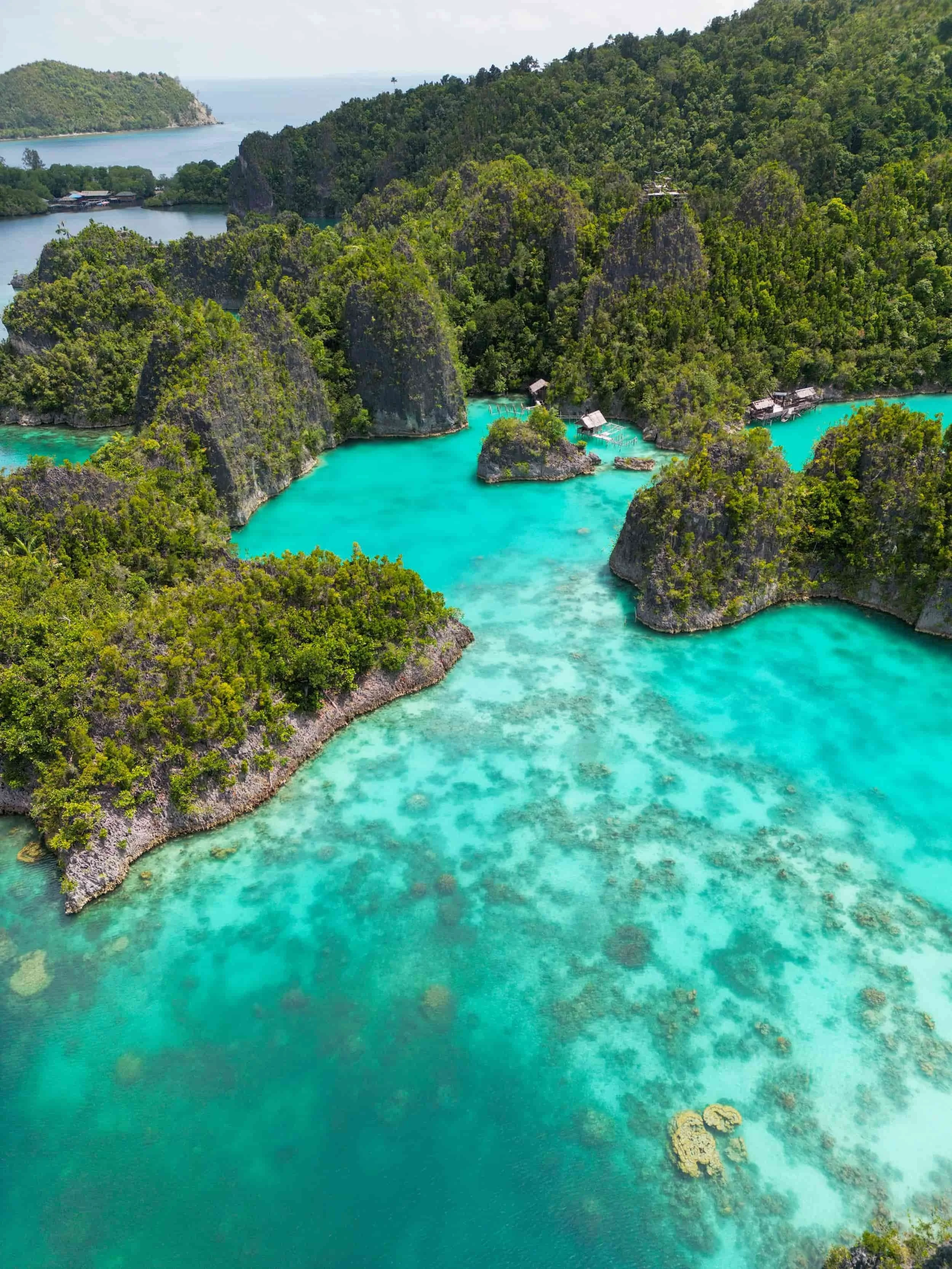
Waisai → Piaynemo & the Fam Islands – This route leads into one of Raja Ampat’s most distinctive island groups, characterised by limestone karst formations, turquoise lagoons and elevated viewpoints. Piaynemo serves as the region's best-known lookout, while the surrounding Fam Islands offer some of the archipelago's most dramatic scenery.
Waigeo and Dampier Strait Map
Waigeo and Dampier Strait form the most visited region of Raja Ampat and are home to many of the archipelago's best-known islands, villages and dive sites. This area combines spectacular island scenery with easy access from Waisai, making it the starting point for most travellers. The map below highlights key locations across Waigeo, Kri, Gam, Mansuar and Arborek, helping visitors understand the geography of northern Raja Ampat.
Where is Waigeo Island in Raja Ampat?
Waigeo is the largest island in Raja Ampat and serves as the region's main transportation hub. Located just north of Sorong, it is home to Waisai, the primary ferry terminal and gateway to the archipelago. Beyond its role as an entry point, Waigeo is known for its rainforest-covered hills, hidden bays, traditional villages and access to many of Raja Ampat’s most famous viewpoints. The island acts as the central link between the surrounding islands and attractions featured on this map.
Where is the Dampier Strait in Raja Ampat?
Situated between Waigeo, Batanta, Gam and Mansuar, Dampier Strait is one of the most biodiverse marine environments in the world. The region is famous for its healthy coral reefs, nutrient-rich waters and exceptional marine life, making it one of the premier diving destinations in Indonesia. Many of Raja Ampat’s most celebrated underwater sites are located here, attracting divers, snorkellers and photographers from around the globe.
Key Locations on the Map
Kali Biru (Blue River) – A crystal-clear freshwater river located on Waigeo Island, known for its vivid blue water, jungle surroundings and peaceful swimming spots.
Kri Island – Famous for world-class diving, beachfront accommodation and easy access to sites such as Cape Kri and Blue Magic.
Gam Island – Known for its rainforest landscapes, birdwatching opportunities and scenic waterways.
Mansuar Island – Home to numerous resorts, dive centres and vibrant coral reefs along its coastline.
Piaynemo – Raja Ampat's most famous viewpoint, offering panoramic views over a maze of limestone karst islands and turquoise lagoons.
Arborek Island – A small island village renowned for its cultural experiences, jetty snorkelling and colourful house reef.
Fam Islands – A picturesque group of limestone islands and lagoons located west of Gam, known for crystal-clear waters, snorkelling and some of Raja Ampat’s most iconic scenery.
Misool Island Map
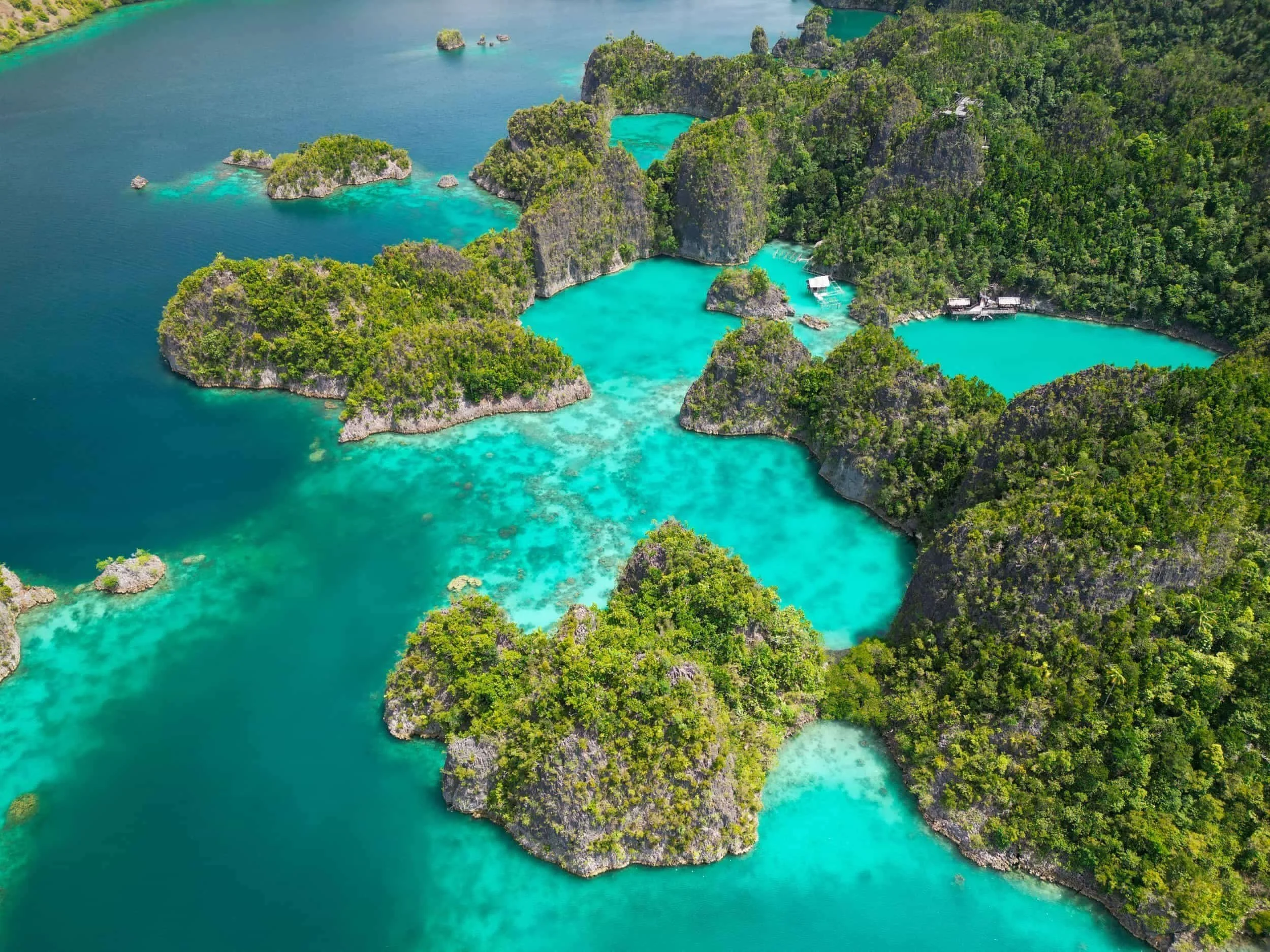
Misool is one of the most geographically complex regions of Raja Ampat, made up of hundreds of islands, hidden lagoons and remote reef systems spread across a vast area of ocean. Unlike the more compact island groups found further north, many of Misool’s most famous attractions are separated by significant distances and are only accessible by boat. The map below highlights the region's key islands, viewpoints, dive sites and natural attractions, providing a useful overview of one of Raja Ampat’s most spectacular destinations.
Where is Misool in Raja Ampat?
Misool is located in the southern part of Raja Ampatand lies several hours by boat from the archipelago's main tourism hub around Waigeo and Dampier Strait. As the southernmost major region of Raja Ampat, it is often visited as part of longer itineraries and liveaboard routes, offering a more remote experience than the northern islands.
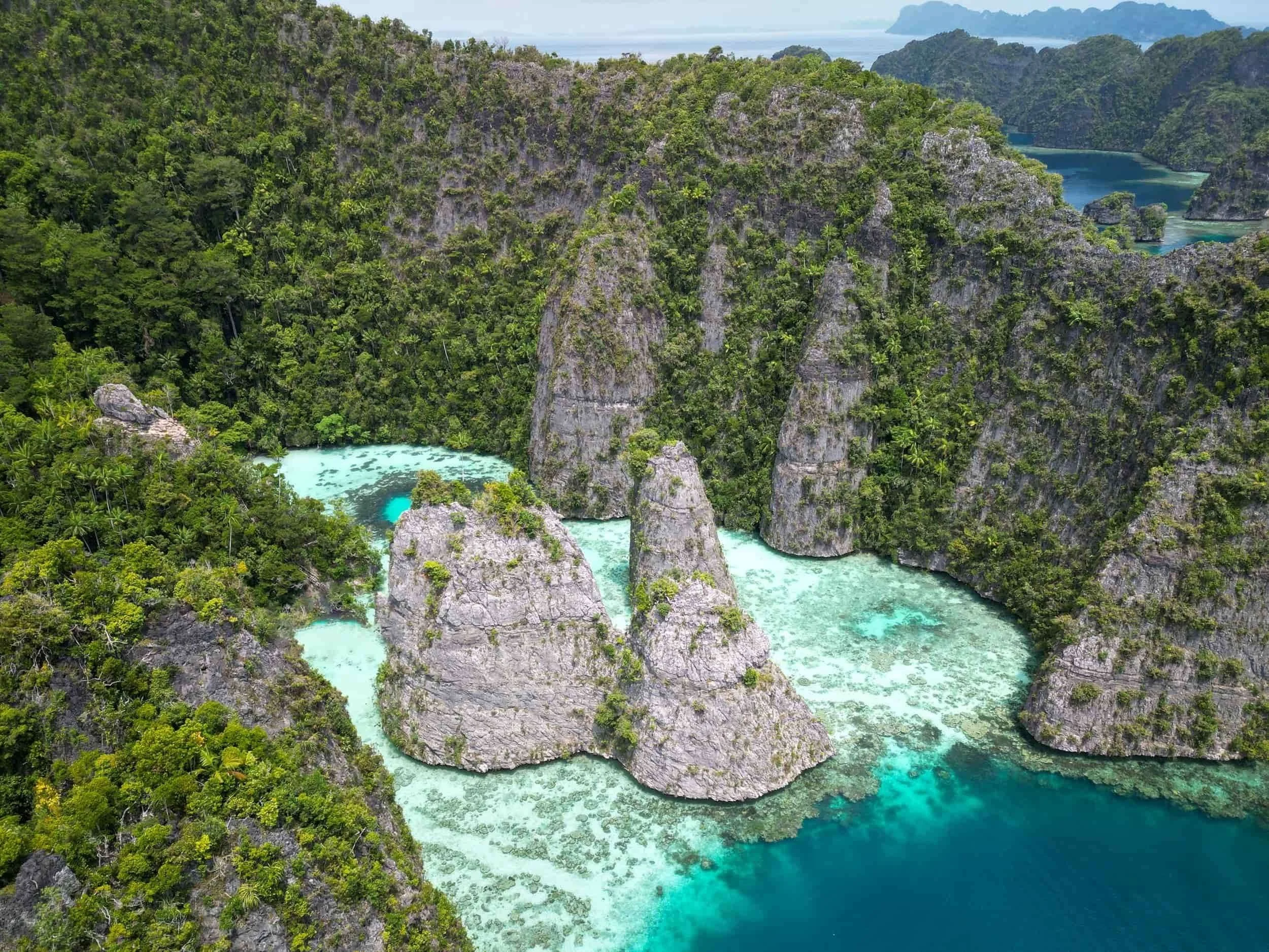
The region is made up of hundreds of islands, reefs and lagoons spread across a vast marine landscape. Characterised by dramatic limestone karst formations, narrow waterways, elevated viewpoints and secluded bays, Misool is one of the most visually striking areas of Raja Ampat. Many of its most famous attractions are only accessible by boat, making maps particularly useful for understanding how the islands, lagoons and viewpoints are connected throughout the region.
Read my full Misool Travel Guide to find out more.
Key Locations on the Map
Balbulol Lagoon – One of Misool’s most iconic locations, famous for its turquoise lagoon enclosed by towering limestone karst formations and panoramic viewpoints.
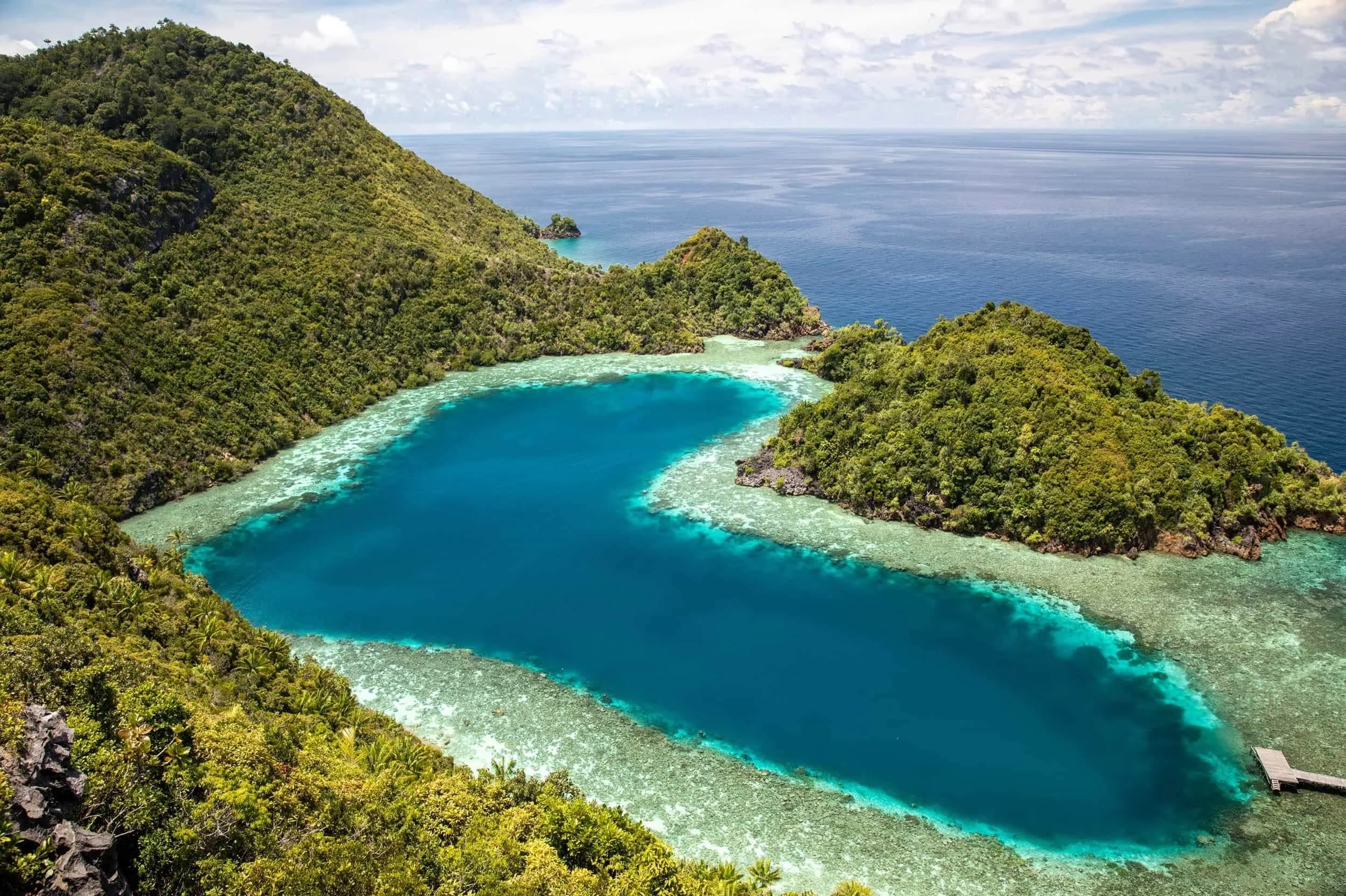
Karawapop Love Lagoon – A spectacular heart-shaped lagoon viewed from a short hike above the surrounding karst islands, making it one of Misool’s most photographed locations.
Yapap – Known for its crystal-clear lagoons, jagged limestone formations and elevated viewpoints overlooking the surrounding islands.
Lenmakana Jellyfish Lake – A unique marine lake where visitors can swim alongside thousands of harmless stingless jellyfish in a protected natural environment.
Dafalen Peak – A popular viewpoint offering sweeping views across Misool’s maze of islands, reefs and lagoons, including another famous heart-shaped lagoon.
Harfat Jaya Peak – One of the best viewpoints in Misool, providing panoramic views across the region's limestone islands and turquoise waterway
Related Posts:
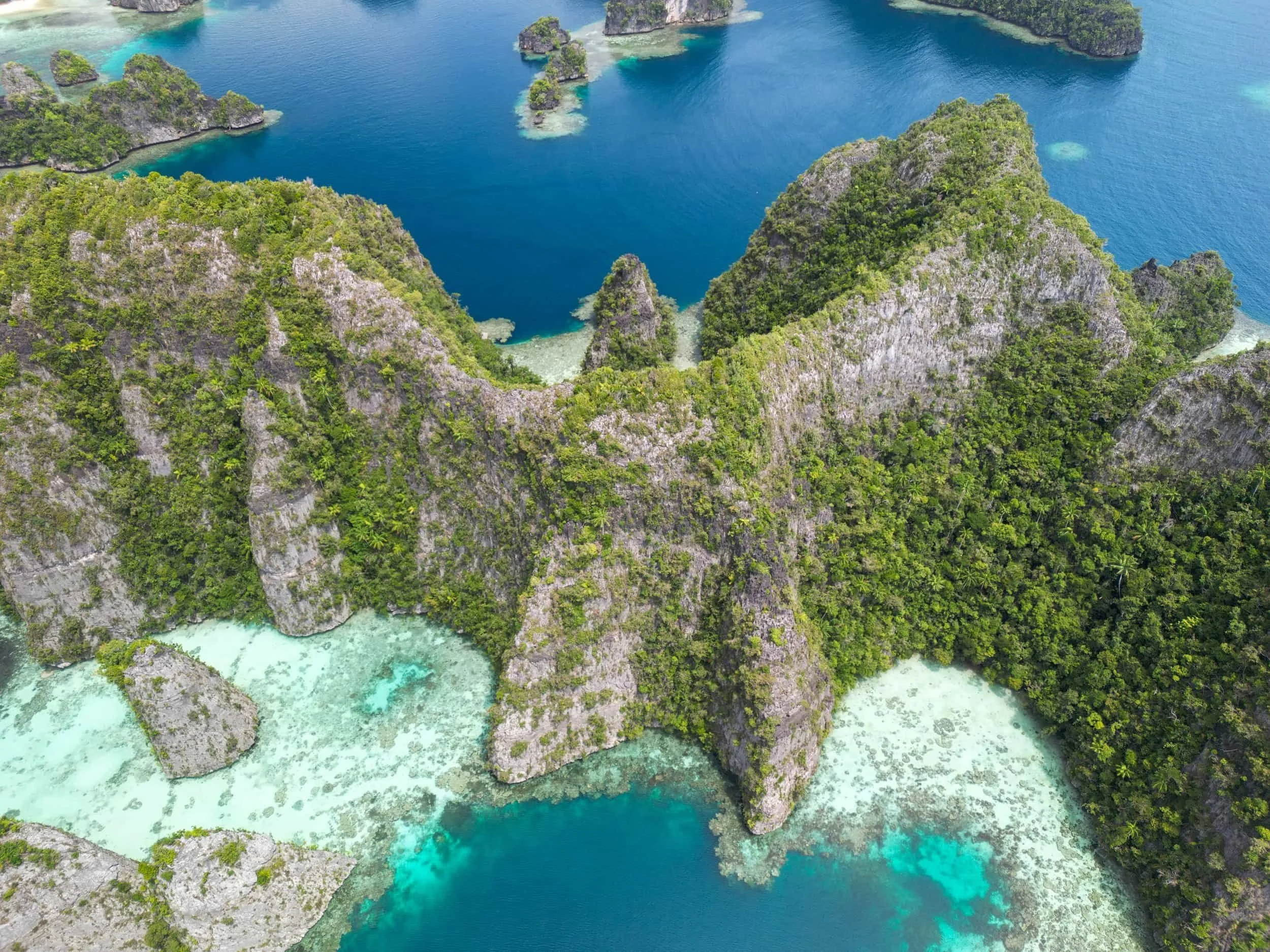
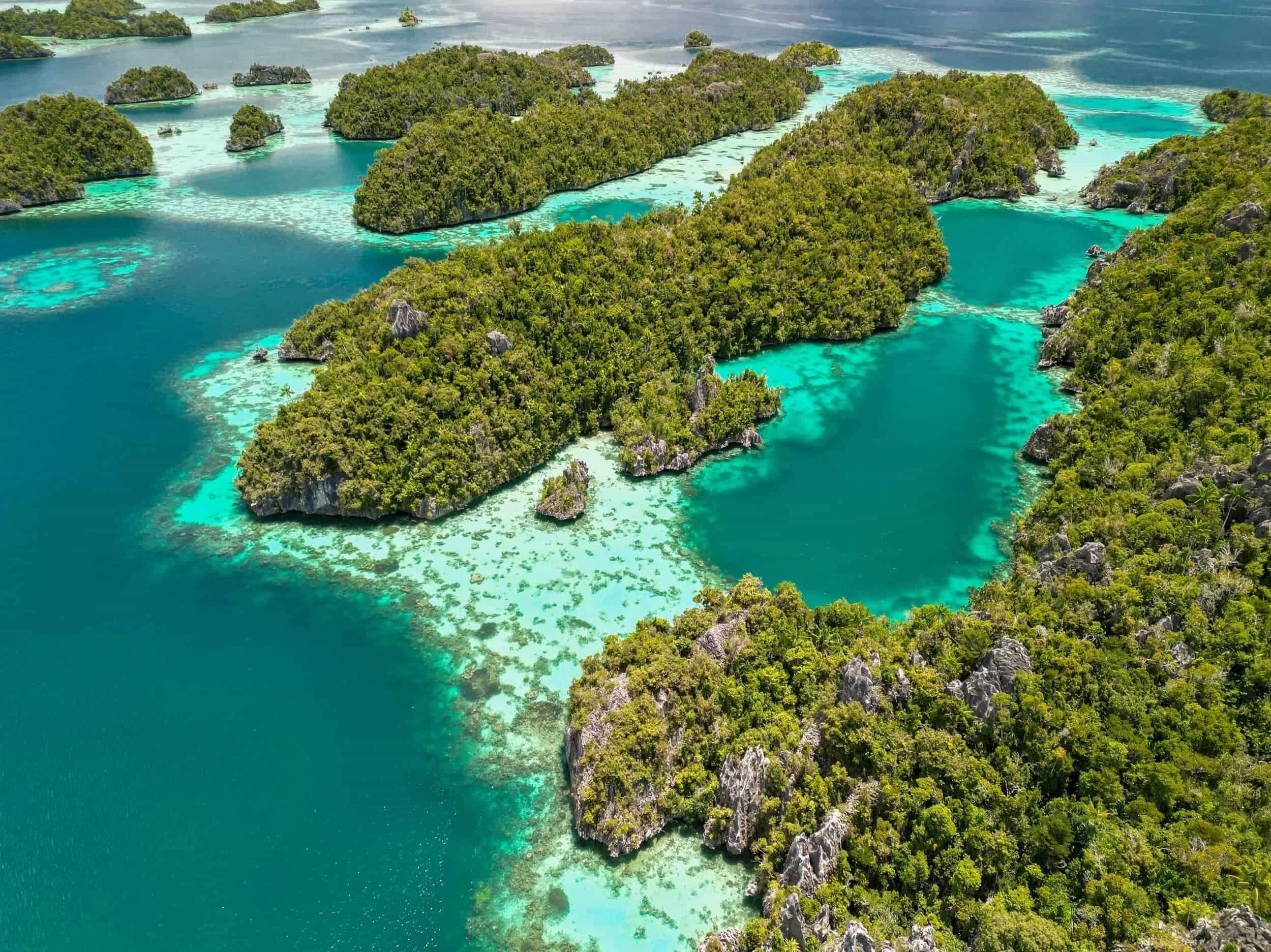
Plan the perfect 10-day Raja Ampat itinerary with this detailed first-time route through northern Raja Ampat and Misool. This day-by-day guide covers how to split your time between Kri, Piaynemo, Arborek, the Dampier Strait and Misool, with practical advice for scuba divers, snorkellers and island-hoppers wanting to experience Raja Ampat’s best viewpoints, reefs, lagoons, beaches and transfer routes.